Ice Climbing - Aiguebelle National Park
Ice Climbing - Aiguebelle National Park
Rouyn-Noranda, La Sarre et l'Abitibi-Ouest
The Dalquier site (often referred to as St-Félix) is located in the small rural municipality of St-Félix-de-Dalquier, bordering the town of Amos.
The three hills feature 13 km of marked trails, over 110 climbing routes, and magnificent viewpoints. At its highest point, at an elevation of 400 meters, the mountain offers a beautiful 360° panorama of the region.
***If you climb on a site federated by the FQME, it is obligatory to be a member of the FQME***
Le Rappel du nord website | FQME website

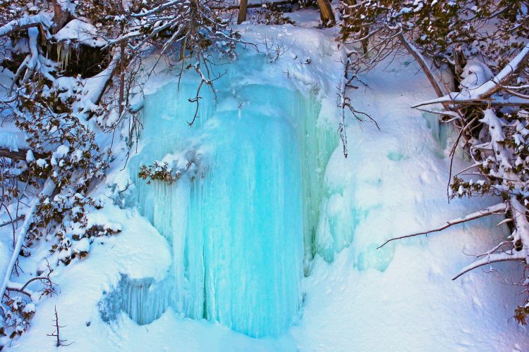
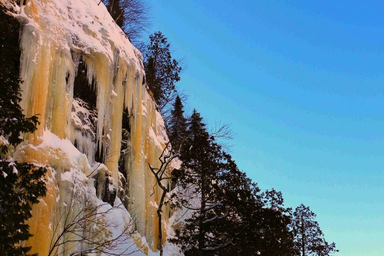
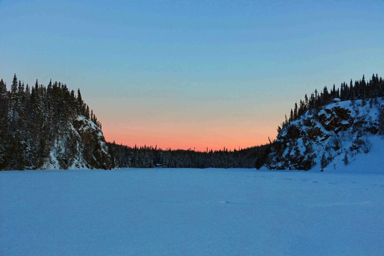
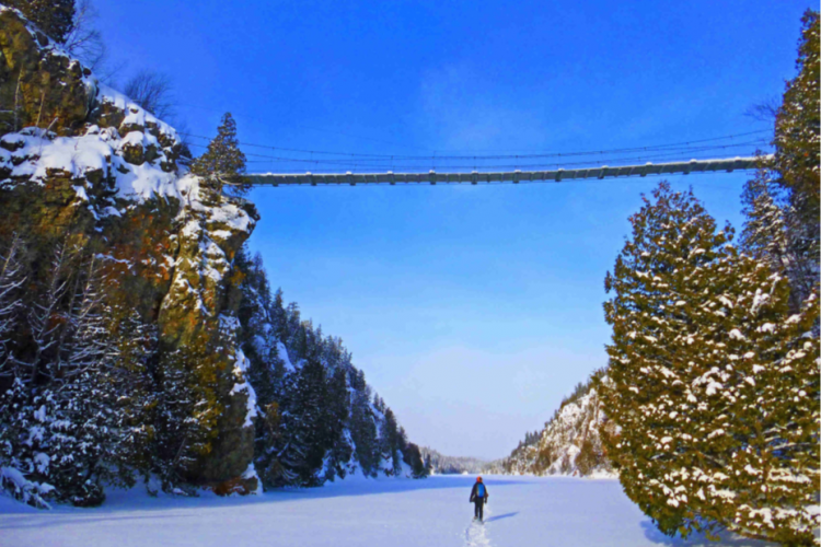
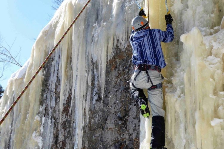
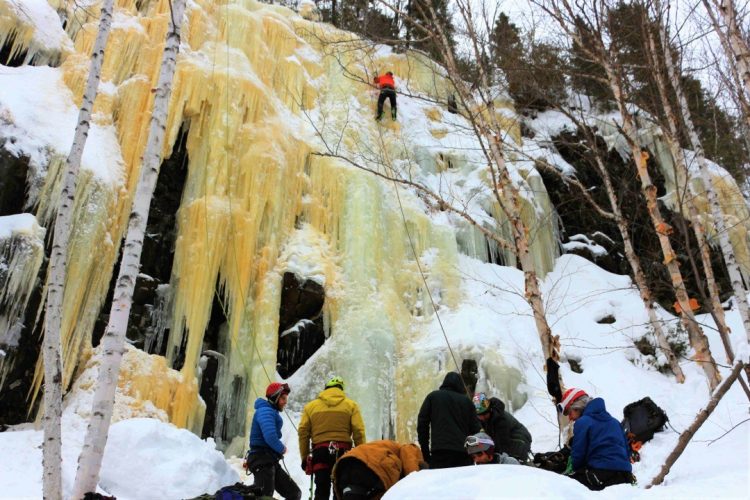
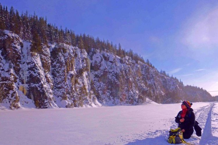
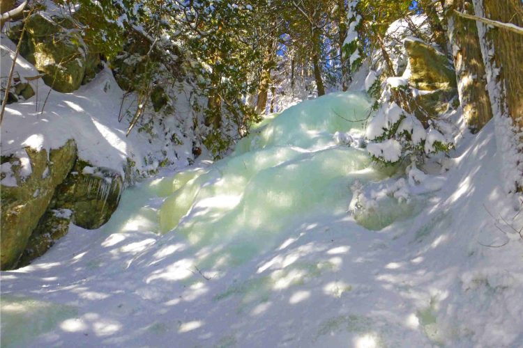
Since 2019, the park has offered climbers the chance to scale the magnificent ice walls on its territory, thanks to the participation of the Fédération québécoise de la montagne et de l'escalade (Quebec Mountain and Climbing Federation - FQME), which manages the site. The main waterfalls are located on the two fault lakes, La Haie Lake and Sault Lake. It is very important to respect nature and the park's regulations to maintain our access to this superb territory.
***If you climb on a site federated by the FQME, it is obligatory to be a member of the FQME***
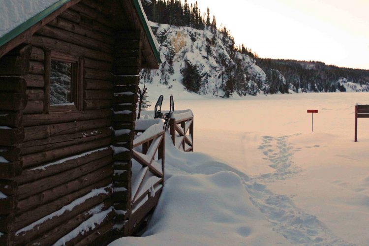
***Some portions of this route cross frozen lakes. For safety information regarding ice travel, visit the lifesaving society website***
Consult Aiguebelle National Park website | Consult discovery guide
- mountain Practice site
Sections
Sentier d'escalade-L'Escapade Boréale
- electrocardiogram Easy
- mountain 9.98 km (Linear)
Sentier d'escalade-Le Castor
- electrocardiogram Easy
- mountain 1.87 km (Linear)
Sentier d'escalade-Le Loup
- electrocardiogram Easy
- mountain 2.76 km (Linear)
Points of service and interest
Category Name
-
Tourist information Centre de service Mont-Brun et Boutique Nature (Parc national d'Aiguebelle) 48°26'55.191”N
78°41'8.308”O -
Parking Stationnement du Camping du Sablon 48°26'55,193"N
78°41'3,528"O -
Parking Stationnement de la Route 26 48°27'8,4"N
78°42'2,58"O -
Rustic camp for rent La Guêpe (lac La Haie) 48°29'06.2"N
78°41'51.3"O -
Point of interest Pont arqué japonais 48°30'51.8"N
78°40'52.9"O -
Parking Stationnement du sentier Les Paysages 48°30'39,077"N
78°40'49,816"O -
Rustic camp for rent Le Dytique (Surplombe le lac Sault) 48°30'25,11"N
78°41'4,524"O -
Rustic camp for rent L'Amiral (lac de l'Esker) 48°30'26,344"N
78°40'18,024"O -
Rustic camp for rent Le Bourdon (lac du Sablon) fd 48°30'7,999"N
78°39'32,379"O -
Paid wild camping Camping rustique lac Du Sablon (lac Du Sablon) 48°30'10,111"N
78°39'47,1"O -
Rustic camp for rent L'Alucite (lac aux Bûcherons) 48°30'1,048"N
78°40'36,282"O -
Rustic camp for rent Le Patineur (lac Patrice) 48°30'47,95"N
78°44'3,723"O -
Rustic camp for rent La Cigale (en montagne) 48°27'21,488"N
78°42'50,228"O -
Parking Stationnement du Centre de découverte 48°30'10,371"N
78°39'48,774"O -
Rustic camp for rent Le Longicorne (lac Loïs) 48°33'52,942"N
78°40'27,246"O -
Cottage for rent La Demoiselle (lac Loïs) 48°35'51,569"N
78°40'58,142"O -
Rock climbing site Escalade de galce-Secteur Le Dytique 48° 30.263'N
78° 41.255'O -
Rock climbing site Escalade de galce-Secteur La Guêpe 48° 29.037'N
78° 41.820'O -
Rock climbing site Escalade de glace-Secteur La Cédrière 48° 30.092'N
78° 41.460'O -
Rock climbing site Escalade de galce-Secteur Les Bûcherons 48° 30.132'N
78° 41.367'O -
Rock climbing site Escalade de glace-Secteur Le Touladi 48° 30.080'N
78° 41.373'O -
Rock climbing site Escalade de galce-Secteur Le Loup 48° 27.762'N
78° 41.078'O -
Rock climbing site Escalade de glace-Secteur du Partage des Eaux 48° 29.522'N
78° 41.827'O -
Rock climbing site Site d'escalade de glace-Secteur du Lac Perché 48° 30.040'N
78° 41.517'O -
Rock climbing site Site d'escalade de glace-Secteur Bassin Versant 48° 29.507'N
78° 41.835'O -
Rock climbing site Site d'escalade de glace- Secteur du Lac La Haie 48° 27.980'N
78° 42.077'O
Accessibility
Access permitted
***If you climb on a site federated by the FQME, it is obligatory to be a member of the FQME***
Directions to reach the site:
From Amos, take Highway 109 North, turn left on Rang 5 & 6 West (the Rang with the white cross). Drive 3 km to the end of the Rang and follow the signs to the site parking lot: 1.5 km. The last 1.5 km from the end of the Rang is on an old, rather bumpy but solid forest road, so drive slowly.
Comments social0


