
Forêt Récréative fatbike trails
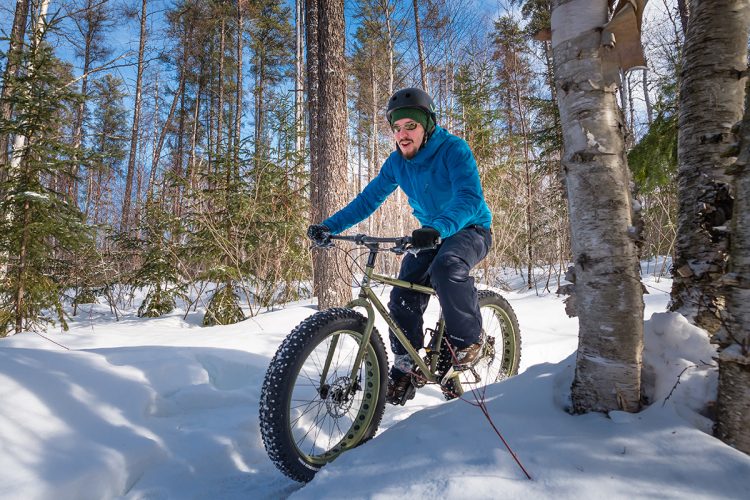
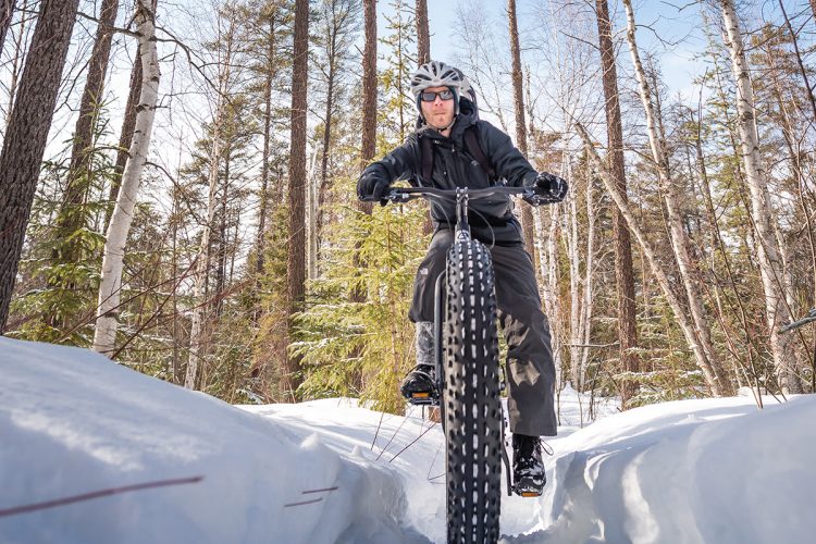
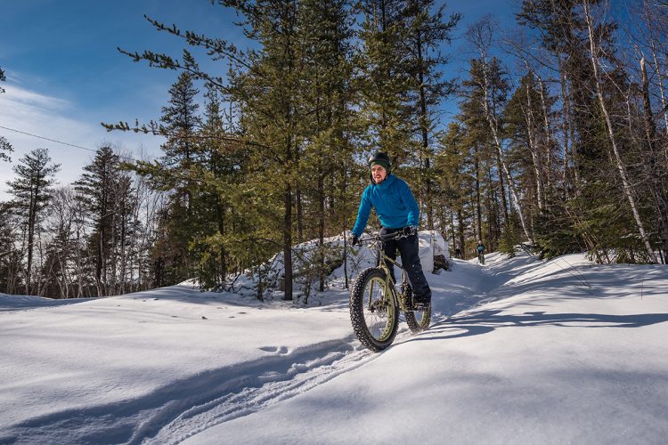
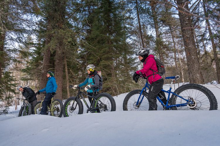
Forêt Récréative fatbike trails
Val-d'Or, Vallée-de-l'Or
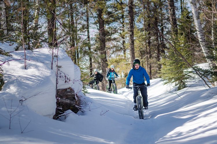
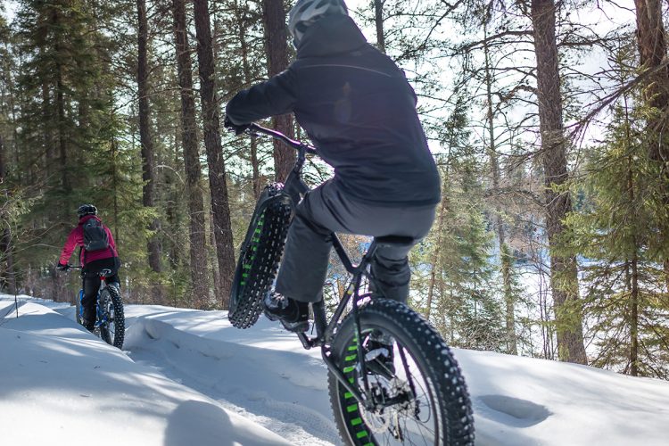
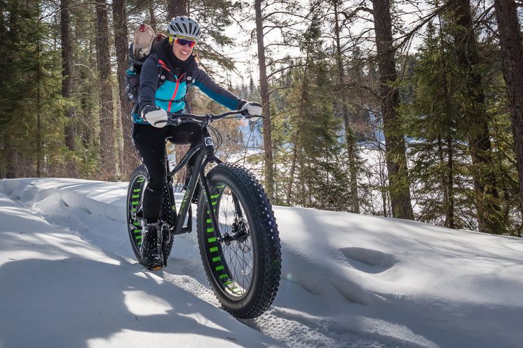
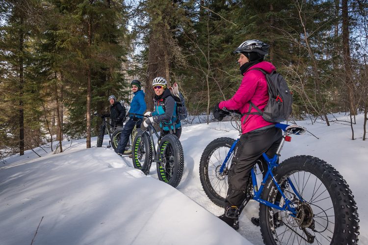
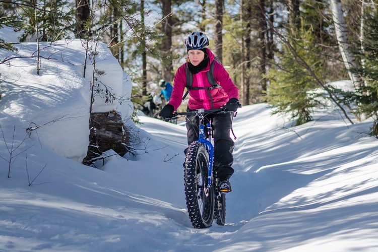
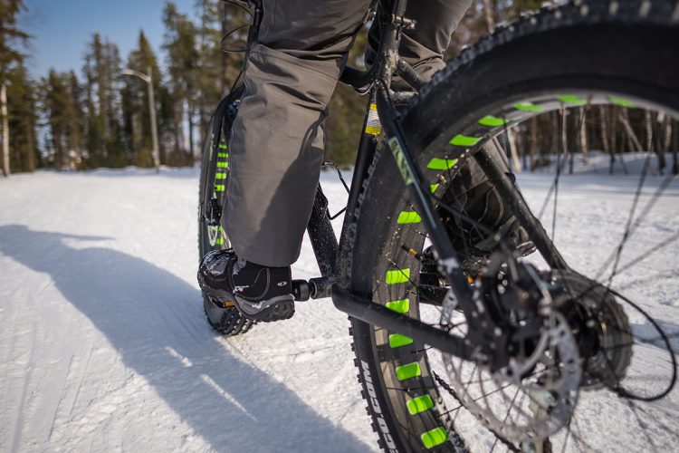
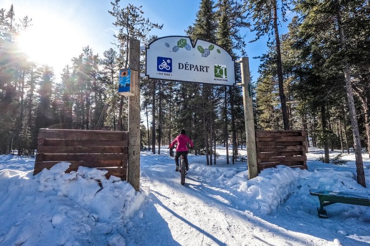
Less than 2 km from the city center, fatbike trails reign on the undergrowth of the Val-d'Or Recreational Forest. This unique environmental zone is dominated by sand hills sheltering an esker. The network is knitted tight and the many intersections allow you to change direction according to your mood or shortness of breath. With its breathtaking views of the surrounding reliefs, the site is loved by amateurs.
- electrocardiogram Easy
- mountain 3.4 Km (Mixed)
- calendar seasonal
Sections
Trail 1
- electrocardiogram Easy
- mountain 2.58 km (Mixed)
Trail 2
- electrocardiogram Easy
- mountain 0.82 km (Loop)
Points of service and interest
Category Name
 Parking
 Reception et services
Accessibility
Access Rights
Required and paid per day or seasonal.
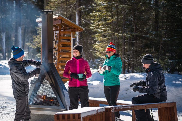
Welcome infrastructure : open on weekends from 9 am to 9 pm and weekdays from 10 am to 9 pm.
Pets not allowed.
Directions to the starting point
In Val-d'Or, follow the road to the airport, 7th Street south. Turn right at the sign for the ski center. The welcome cottage is located just 5 minutes from downtown Val-d'Or.
Parking: Free, 48°03'32.2"N 77°47'34.2"W
Coordinates
179 7th Street, Val-D'or, Quebec City, J9P 0G5 | T 1 819 874-0201 | Website
Natural Environment
Geography
The esker is part of a vast glacial moraine (called the Inter-Lobaire Harricana Moraine) that crosses the landscape from the Témiscamingue region to James Bay in the north. Between the butts that form the "esker", there are often depressions or bowls called "kettles" formed by spreading sand around the ice blocks that melted on site. There are two spring lakes formed of "kettles" in the area of our trails, are the lake of the Barbus and the lake Clément.
Flora
Grey pine, the dominant tree in the entire Recreational Forest area, is the only species that grows well on sandy hills. There are also some beautiful stands of white birch and aspen poplar. Black spruce and balsam trees dominate in less drained areas.
Comments social0
Tools ready to go
Info & advice
- Care
- Carte et orientation
- Clothes
- Emergency
- Nutrition
- Prevention
Caution
This sheet has been prepared from information provided by outdoor enthusiasts deemed sufficiently reliable and experienced. Errors or omissions are always possible and Tourisme Abitibi-Témiscamingue cannot accept responsibility for any problem or accident that may arise from this sheet or be attributed to its use. If you notice any errors or omissions during your expedition, we would be very grateful if you would let us know by email pleinair@atrat.org in order to keep our information up to date.
