
Évain Cross-Country Ski Club - Fatbike trails
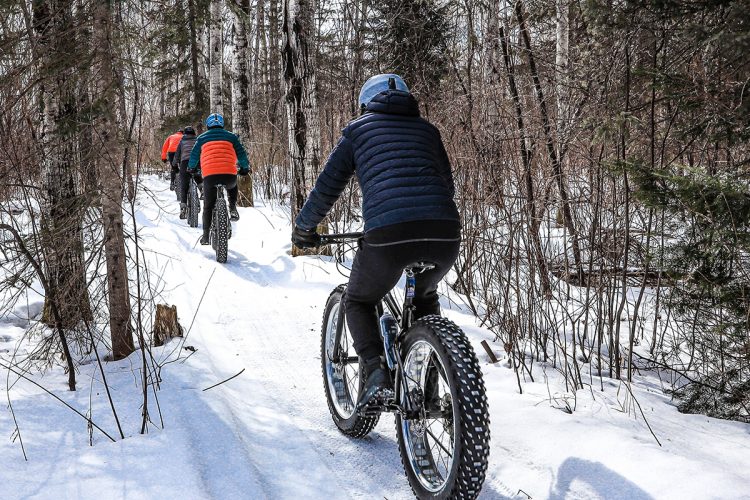
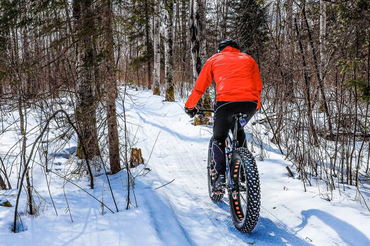
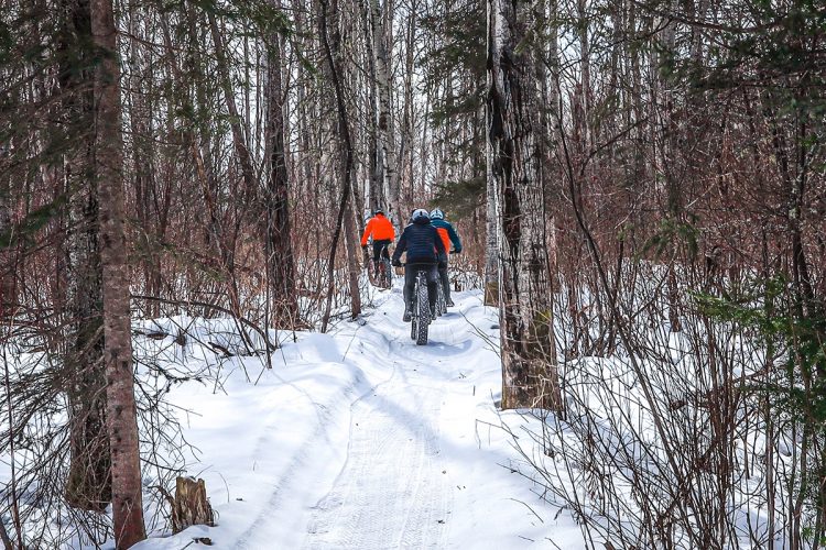
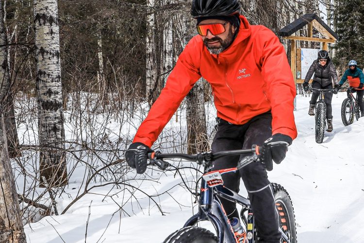
Évain Cross-Country Ski Club - Fatbike trails
Rouyn-Noranda (Évain), Rouyn-Noranda
Évain Cross-Country Ski Club
- electrocardiogram Demanding
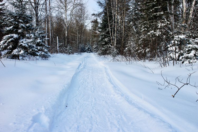
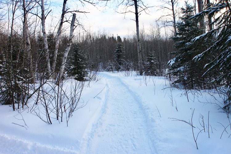
- mountain 7.6 Km (Mixed)
- calendar seasonal
Sections
Aller retour
- electrocardiogram Easy
- mountain 2.39 km (Linear)
Boucle
- electrocardiogram Easy
- mountain 5.24 km (Linear)
Points of service and interest
Category Name
-
 Parking
Stationnement du club de ski de fond d'vain
48°16'34.3"N
Parking
Stationnement du club de ski de fond d'vain
48°16'34.3"N
79°07'43.8"O -
 Snowshoe for rent
Centre de location d'équipement
48°16'32.7"N
Snowshoe for rent
Centre de location d'équipement
48°16'32.7"N
79°07'45.8"O -
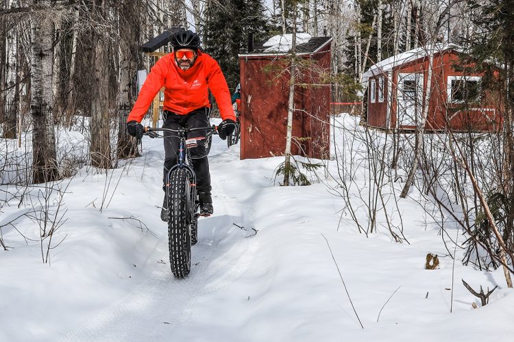
 Reception et services
Chalet d’accueil
48°16'28,348"N
Reception et services
Chalet d’accueil
48°16'28,348"N
79°07'52,781"O -
 Refuge
 des Castor
48°18’10.999”N
Refuge
Refuge des Castor
48°18’10.999”N
79°8’5.924”O -
Refuge
Refuge des Fourches
48°17’21.353”N
79°8’4.538”O -
Refuge
Refuge de l'Indien
48°17’29.221”N
79°8’36.286”O
Accessibility
Access Rights
Required and paid per day or seasonal.
Welcome infrastructure. Hours: Open daily from 9 am to 4:30 pm.
Pets not allowed.
Directions to the starting point :
From the city centre, take route 117 north towards Ville-Marie (7 km). At the Évain district, turn right and drive until you reach Rue Principale, then left for 150 m and finally right on Avenue de l'Église to the end (3.5 km). The reception is on the left and parking on the right.
Parking: Free, 48°16'34.3"N 79°07'43.8"W
coordinates : 450 Church Avenue, Rouyn-Noranda (Évain) | T 1 819 768-2591 | WebSite | Facebook
Natural Environment
The landscapes are typical of the region with several aspen, beech, grey pine and black fir forests.
Comments social0
Tools ready to go
Info & advice
- Care
- Carte et orientation
- Clothes
- Emergency
- Nutrition
- Prevention
Caution
This sheet has been prepared from information provided by outdoor enthusiasts deemed sufficiently reliable and experienced. Errors or omissions are always possible and Tourisme Abitibi-Témiscamingue cannot accept responsibility for any problem or accident that may arise from this sheet or be attributed to its use. If you notice any errors or omissions during your expedition, we would be very grateful if you would let us know by email pleinair@atrat.org in order to keep our information up to date.
