
Beaudry cross-country ski trails
Beaudry cross-country ski trails
Rouyn-Noranda (Beaudry), Rouyn-Noranda
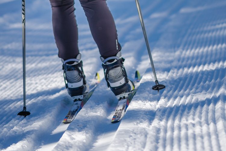
In the heart of rural surroundings, the Beaudry cross-country ski trails traverse forested, wetland, and rocky terrain. The trail plunges into the woods and gently curves, with little relief other than small bumps that you can happily jump over. Here, it's rare to encounter a living soul for a truly delightful nature experience!
- electrocardiogram Easy to Moderate
- mountain 10 Km (Mixed)
- calendar seasonal
Sections
La Cahoteuse
- electrocardiogram Easy
- mountain 1.73 km (Linear)
La Grande Randonnée
- electrocardiogram Moderate
- mountain 6.45 km (Loop)
Points of service and interest
Category Name
 Parking
 Refuge
Accessibility
Access
Free, no entry
No pets allowed
Directions to the starting point
From Rouyn-Noranda, take Highway 391 South (Boulevard Témiscamingue) to the Beaudry district, 18 km away. In the village center, turn right (west) onto Rang des Cyprès. The parking lot is 1 km further on. The destination is on your right.
Parking: Free
Contact information: P 1 819 797-0699
Specifications
- Groomed trails for classic skiers.
- Traditional double track.
- Flat to hilly terrain.
Comments social0
Tools ready to go
Info & advice
- Animation et interprétation
- Care
- Carte et orientation
- Clothes
- Emergency
- Equipment
- Nutrition
- Prevention
- Prevention
Caution
This sheet has been prepared from information provided by outdoor enthusiasts deemed sufficiently reliable and experienced. Errors or omissions are always possible and Tourisme Abitibi-Témiscamingue cannot accept responsibility for any problem or accident that may arise from this sheet or be attributed to its use. If you notice any errors or omissions during your expedition, we would be very grateful if you would let us know by email pleinair@atrat.org in order to keep our information up to date.
