
Club d'Évain Cross-Country Ski Trails
Club d'Évain Cross-Country Ski Trails
Rouyn-Noranda (Évain), Rouyn-Noranda
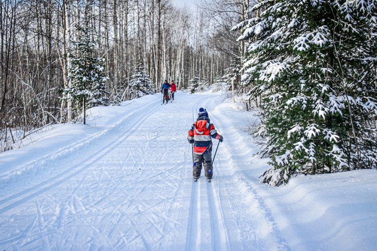
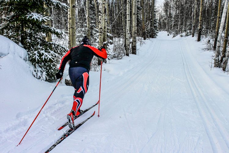
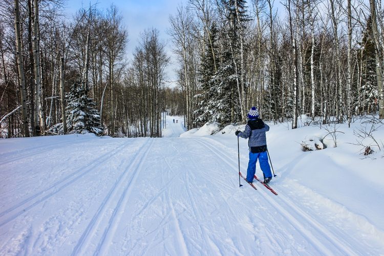
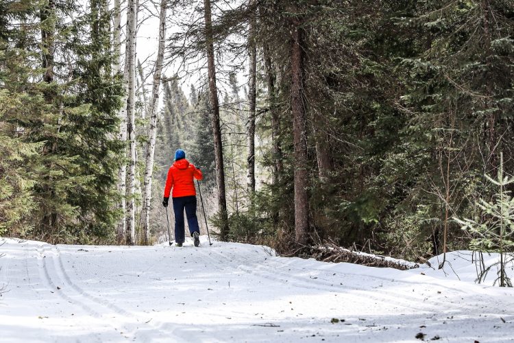
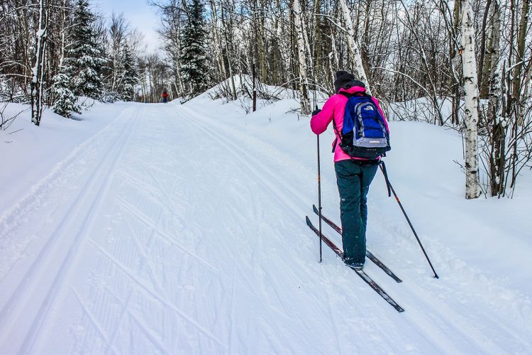
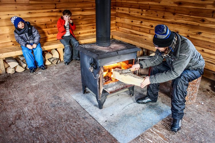
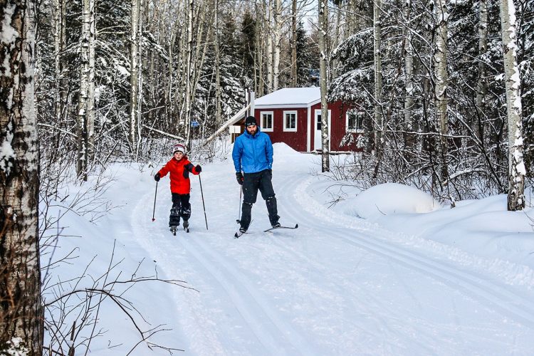
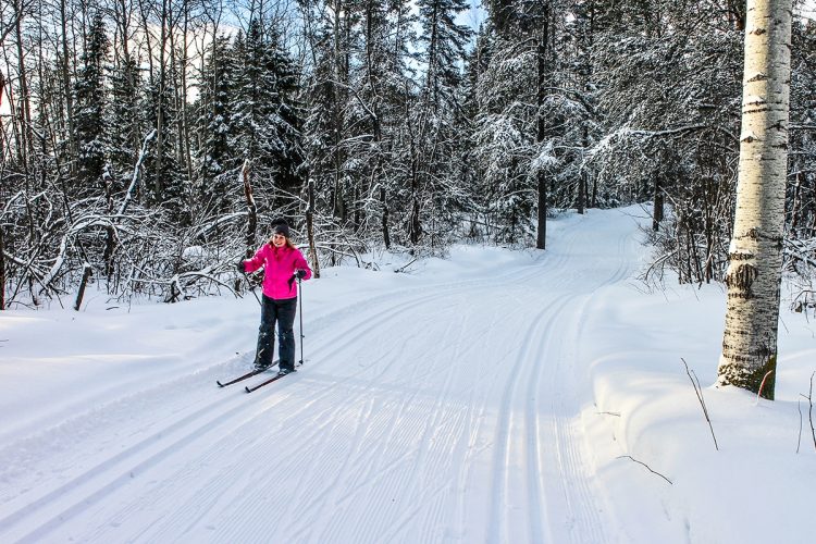
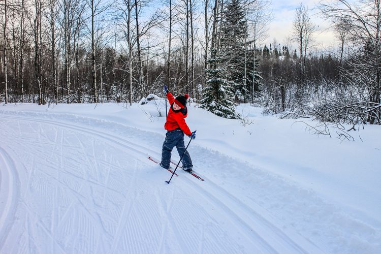
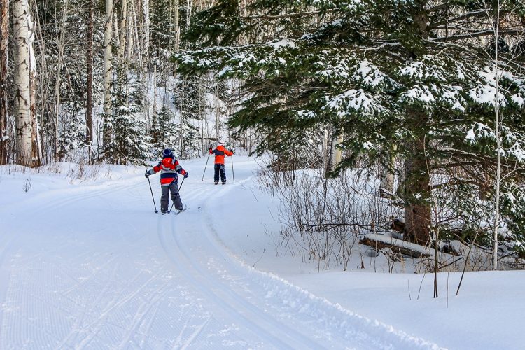
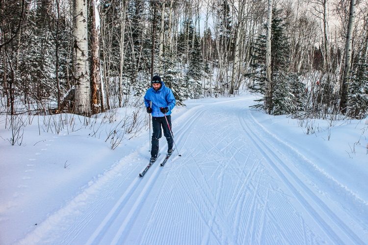
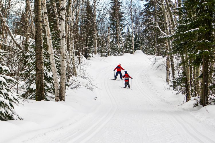
With a 28-kilometre network of trails that weave through pine, spruce and aspen forests, the Club d'Évain cross-country trails offer both beginners and experts alike a place to practice classic steps and skating. Every detour is enchanting. Hikers can warm up in seven refuges.
- electrocardiogram Easy to Very demanding
- mountain 28 Km (Loop)
Sections
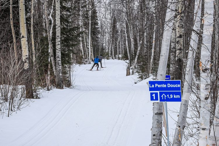
La Pente Douce
- electrocardiogram Demanding
- mountain 1.78 km (Linear)
Access : Between the reception cottage and the refuge des Fourches
Interest : Type of ski: Classic and skating, double track
La Ballade
- electrocardiogram Easy
- mountain 1.66 km (Linear)
Access : Between the reception cottage and the refuge des Fourches
Interest : Type of ski: Classic and skating, double track
Les Pics
- electrocardiogram Very demanding
- mountain 1.50 km (Linear)
Access : Between the reception cottage and the refuge des Fourches
Interest : Type of ski: Classic and skating, double track
L'Entre-Deux
- electrocardiogram Demanding
- mountain 0.98 km (Linear)
Access : Between the Fourches Shelter and the Indien Shelter
Interest : Type of ski: Classic and skating, double track
Les Montagnards
- electrocardiogram Very demanding
- mountain 2.38 km (Linear)
Access : Between the Les Gaies Lurons trail and the Refuge des Castors
Interest : Type of ski: Classic and skating, double track
Le Portage
- electrocardiogram Easy
- mountain 1.94 km (Linear)
Access : Between the Indian and Beaver Shelters
Interest : Type of ski: Classic and skating, double track
La Savane
- electrocardiogram Easy
- mountain 1.78 km (Linear)
Access : Between the Fourches Shelter and the Beavers Shelter
Interest : Type of ski: Classic and skating, double track
Les Fées
- electrocardiogram Easy
- mountain 2.97 km (Linear)
Access : Between Flavrian Lake shelter and Lebrun Lake shelter
Interest : Type of ski: Classic and skating, double track
Les Magiciens
- electrocardiogram Easy
- mountain 2.48 km (Linear)
Access : Between the Indien shelter and the Flavrian Lake shelter
Interest : Type of ski: Classic and skating, double track
Les Collines
- electrocardiogram Demanding
- mountain 1.64 km (Linear)
Access : Between the Indien Shelter and the Perdu Shelter
Interest : Type of ski: Classic and skating, double track
Les Sommets
- electrocardiogram Very demanding
- mountain 2.74 km (Linear)
Access : Between the Perdu Shelter and the Beavers Shelter
Interest : Type of ski: Classic and skating, double track
Les Vallons
- electrocardiogram Demanding
- mountain 4.98 km (Linear)
Access : Between the Fourches Shelter Trail and the Montagnards Trail
Interest : Type of ski: Classic and skating, double track
Les Lutins
- electrocardiogram Easy
- mountain 1.12 km (Linear)
Access : Between the Beavers Shelter and the Lake Lebrun Shelter
Interest : Type of ski: Classic and skating, double track
Points of service and interest
Category Name
-
 Refuge
 du Perdu
48°18’4.167”N
Refuge
Refuge du Perdu
48°18’4.167”N
79°9’12.043”O -
Refuge
Refuge du lac Lebrun
48°18’35.885”N
79°8’31.436”O -
Refuge
Refuge du lac Flavrian
48°18’2.284”N
79°10’18.273”O -
Refuge
Refuge des Castor
48°18’10.999”N
79°8’5.924”O -
Refuge
Refuge de la Falaise
48°18’40.183”N
79°7’52.032”O -
Refuge
Refuge des Fourches
48°17’21.353”N
79°8’4.538”O -
Refuge
Refuge de l'Indien
48°17’29.221”N
79°8’36.286”O -
 Reception et services
Chalet d’accueil
48°16'28,348"N
Reception et services
Chalet d’accueil
48°16'28,348"N
79°07'52,781"O -
 Parking
Stationnement du club de ski de fond d'vain
48°16'34.3"N
Parking
Stationnement du club de ski de fond d'vain
48°16'34.3"N
79°07'43.8"O
Accessibility
Access Rights
 Required and paid per day or seasonal.
Opening hours:
- Week: 11am to 4pm
- Weekends and holidays: 9 am to 5 pm
![]() Pets NOT ALLOWED.
Pets NOT ALLOWED.
Directions to the starting point:
From the city centre of Rouyn-Noranda, take route 117 north towards Ville-Marie (7 km). At the Évain district, turn right and drive until you reach Rue Principale, then left for 150 m and finally right on Avenue de l'Église to the end (3.5 km). The reception is on the left and the parking lot on the right.
 View the route on Google Map
Parking : 48°16'34.3"N 79°07'43.8"O
CONTACT
Address : 450 Church Avenue, Rouyn-Noranda (Évain)
T 1 819 768-2591
Specifications
- Majority of maintained slopes for classic skiing and skating.
- Traditional double trace.
- Flat to hilly terrain.
Natural Environment
Flora
The landscapes are typical of the region with several aspen, beech, grey pine and black fir forests.
Comments social0
Tools ready to go
- mapsquare Download GPS track (GPX)
- Google driving directions
-
 Sunrise : 07:20
Sunset : 18:47 -
Equipment for rent Service de location du club de ski de fond Évain
Info & advice
- Animation et interprétation
- Care
- Carte et orientation
- Clothes
- Emergency
- Equipment
- Nutrition
- Prevention
- Prevention
Caution
This sheet has been prepared from information provided by outdoor enthusiasts deemed sufficiently reliable and experienced. Errors or omissions are always possible and Tourisme Abitibi-Témiscamingue cannot accept responsibility for any problem or accident that may arise from this sheet or be attributed to its use. If you notice any errors or omissions during your expedition, we would be very grateful if you would let us know by email pleinair@atrat.org in order to keep our information up to date.
