
Cross-country skiing trails in the Forêt Récréative
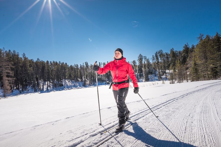
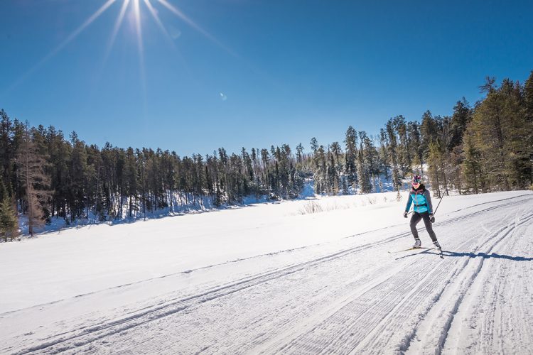
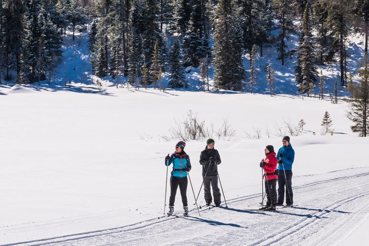
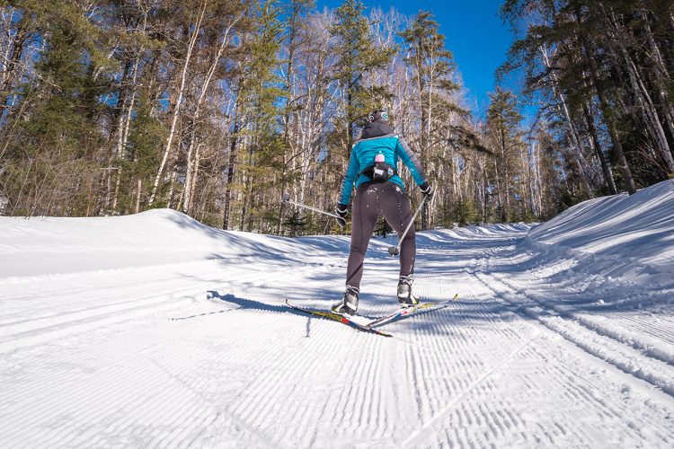
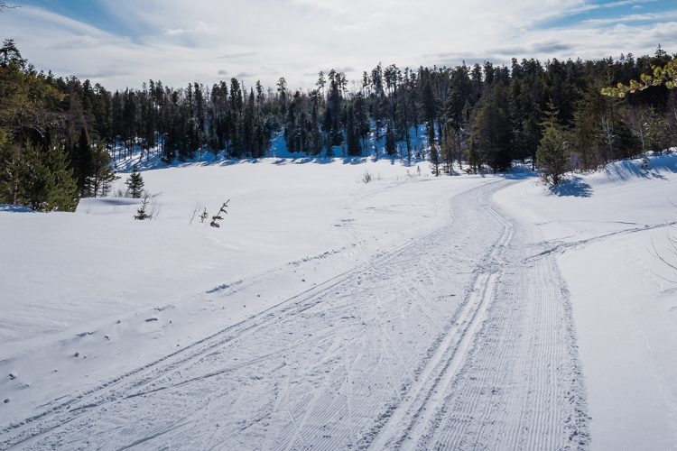
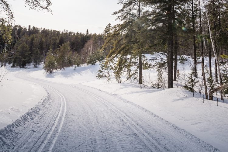
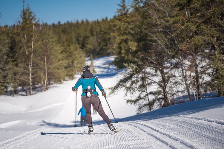
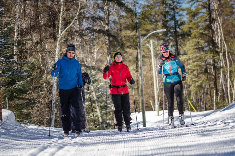
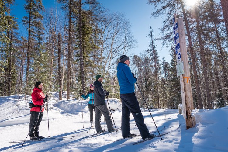
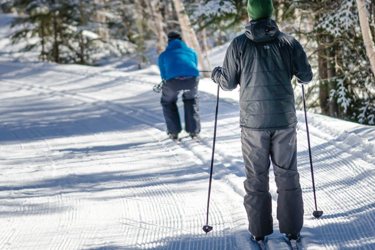
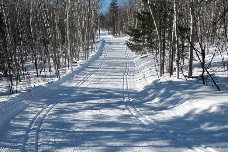
Cross-country skiing trails in the Forêt Récréative
Val-d'Or, Vallée-de-l'Or
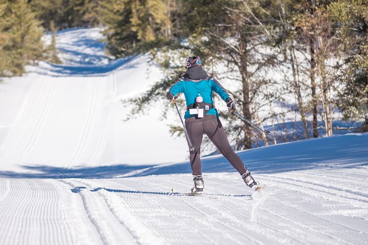
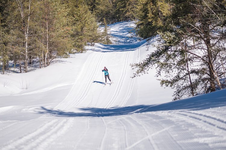
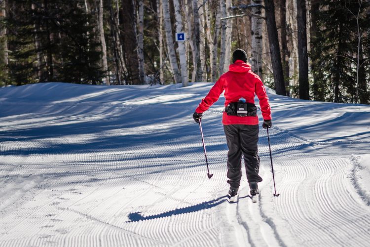
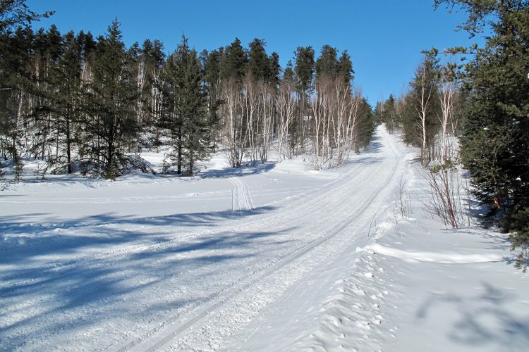
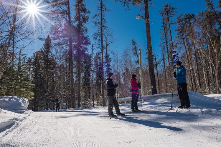
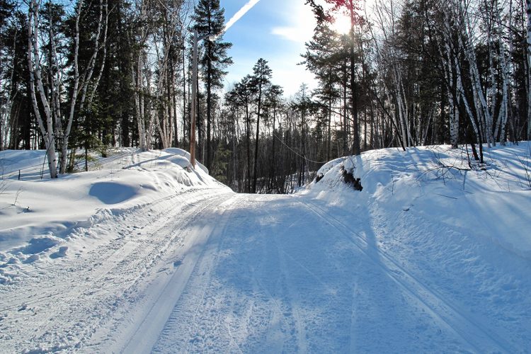
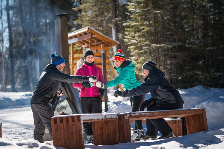
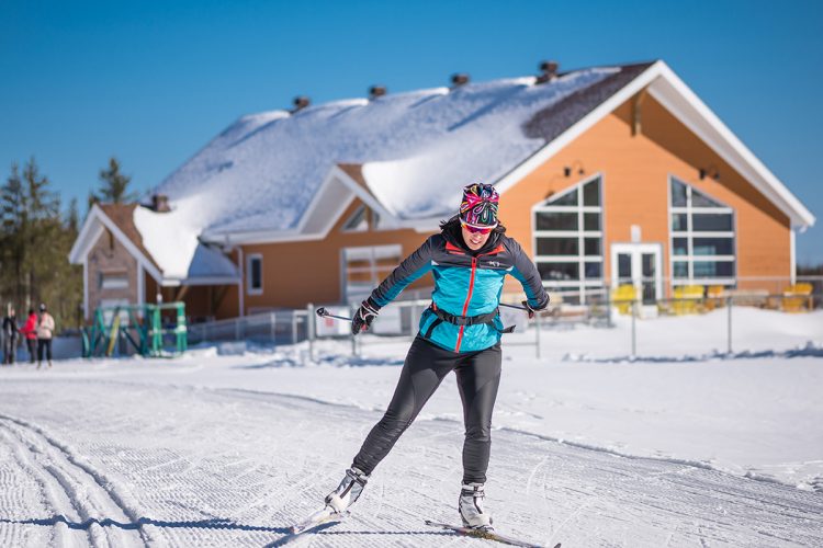
Less than 2 km from the city center, the trails of the cross-country ski club dominate the undergrowth of the Val-d'Or Forêt récréative. This unique environmental zone is dominated by sand hills sheltering an esker. The network is knitted tight and the many intersections allow you to change direction according to your mood or shortness of breath. With its breathtaking views of the surrounding reliefs, the site is loved by gliding enthusiasts.
- electrocardiogram Easy to Demanding
- mountain 37 Km (Mixed)
- calendar seasonal
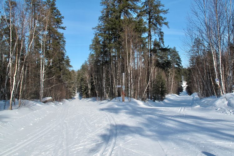
Sections
Piste éclairée
- electrocardiogram Easy
- mountain 3.86 km (Linear)
Piste d'Entrée
- electrocardiogram Easy
- mountain 0.29 km (Linear)
Piste 4a
- electrocardiogram Easy
- mountain 0.23 km (Linear)
Piste 4b
- electrocardiogram Easy
- mountain 1.22 km (Linear)
Piste 4int
- electrocardiogram Easy
- mountain 1.35 km (Linear)
Piste 4exp
- electrocardiogram Easy
- mountain 1.24 km (Linear)
Piste 5
- electrocardiogram Easy
- mountain 5.51 km (Linear)
Piste 10
- electrocardiogram Easy
- mountain 1.49 km (Linear)
Piste 10a
- electrocardiogram Easy
- mountain 1.52 km (Linear)
Piste 11
- electrocardiogram Easy
- mountain 1.59 km (Linear)
Piste 12
- electrocardiogram Easy
- mountain 1.09 km (Linear)
Piste 13
- electrocardiogram Easy
- mountain 12.44 km (Linear)
Piste 17
- electrocardiogram Easy
- mountain 3.85 km (Linear)
Piste l'Esker
- electrocardiogram Easy
- mountain 4.52 km (Linear)
illuminated trail
- electrocardiogram Easy to Moderate
- mountain 3.86 km (Loop)
Access : From the reception infrastructure
Specification : Type de ski : classique et skating, double track
Interest : illuminated trail
Entry trail
- electrocardiogram Easy
- mountain 0.29 km (Linear)
Access : reception infrastructure
Specification : Type of ski: Classic and skating, double track
Trail 4a
- electrocardiogram Easy
- mountain 0.23 km (Linear)
Access : Trail 13
Specification : Type of ski: Classic and skating, double track
Interest : illuminated trail
Trail 4b
- electrocardiogram Moderate
- mountain 1.22 km (Linear)
Access : Tracks 4a and 13
Specification : Type of ski: Classic and skating, double track
Interest : Track partially lit
Trail 4int
- electrocardiogram Moderate
- mountain 1.35 km (Linear)
Specification : Type of ski: Classic and skating, double track
Interest : illuminated trail
Trail 4exp
- electrocardiogram Demanding
- mountain 1.24 km (Linear)
Access : À partir de la piste 4a
Specification : Type of ski: Classic and skating, double track
Liaison Champ-de-tir
- electrocardiogram Easy
- mountain 0.20 km (Linear)
Access : From trail 13
Specification : Type of ski: Classic and skating, double track
Interest : illuminated trail
Liaison Pistes 13 et 4b
- electrocardiogram Easy
- mountain 0.60 km (Linear)
Access : From chemin du Champ-de-Tir to trail b
Specification : Type of ski: Classic and skating, double track
Interest : illuminated trail
Trail 5
- electrocardiogram Demanding
- mountain 5.51 km (Loop)
Access : From trail 4b
Specification : Type of ski: Classic and skating, double track
Trail 10
- electrocardiogram Easy
- mountain 1.49 km (Linear)
Access : From trails 11 or 13
Specification : Type of ski: Classic and skating, double track
Trail 10a
- electrocardiogram Moderate
- mountain 1.52 km (Linear)
Access : From tracks 10, 11 and 13
Specification : Type of ski: Classic and skating, double track
Trail 11
- electrocardiogram Moderate
- mountain 1.59 km (Linear)
Access : From trail 13
Specification : Type of ski: Classic and skating, double track
Trail 12
- electrocardiogram Demanding
- mountain 1.09 km (Linear)
Access : From trail 13
Specification : Type of ski: Classic and skating, double track
Trail 13
- electrocardiogram Easy
- mountain 12.44 km (Loop)
Access : From the entry trail
Specification : Type of ski: Classic and skating, double track
Interest : Lighted track near the reception cottage
Trail 17
- electrocardiogram Easy
- mountain 3.85 km (Loop)
Access : From trail 13
Specification : Type of ski: Classic and skating, double track
Trail l'Esker
- electrocardiogram Moderate
- mountain 4.52 km (Linear)
Access : From trail 13
Specification : Type of ski: Classic and skating, double track
Points of service and interest
Category Name
-
 Reception et services
Chalet d'accueil du club de ski de fond
48°03'32.127"N
Reception et services
Chalet d'accueil du club de ski de fond
48°03'32.127"N
77°47'36.589"O -
 Parking
Stationnement de la forêt récréative
48°3'29,171"N
Parking
Stationnement de la forêt récréative
48°3'29,171"N
77°47'35,654"O -
 Refuge
 Le Sommet
48°03'02.3"N
Refuge
Refuge Le Sommet
48°03'02.3"N
77°49'34.6"O -
Refuge
Refuge hot dog
48°02'20.9"N
77°48'14.6"O -
Refuge
Refuge Le Carrefour
48°03'21.6"N
77°48'22.2"O -
Refuge
Refuge
48°2'12,881"N
77°49'50,027"O
Accessibility
Access Rights
 Required and payable
 Opening hours of the chalet: Monday to Friday from 9 am to 9 pm
Saturday and Sunday from 9 am to 7 pm.
![]() Pets are NOT allowed.
Pets are NOT allowed.
Directions to the starting point
In Val-d'Or, follow the road to the airport, 7th Street south. Turn right at the sign for the ski center. The welcome cottage is located just 5 minutes from downtown Val-d'Or.
Parking : free
Position : 48°3'29,171"N | 77°47'35,654"O
![]() View the route from your location on Google Map
View the route from your location on Google Map
Contact
Address : 179, chemin de la Forêt-Récréative | Val-D'or, Québec, J9P 0G5
P 1 819 824-1333, poste 4290
info@foretrecreative.com
Specifications
Trail Conditions
etatsentiers.ville.valdor.qc.ca
types of trails
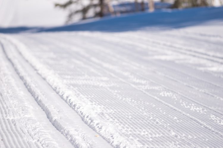
- Maintained slopes for classic and skating fans.
- Double track for classic skiing with space for skating in the middle.
- 4 km illuminated trail.
- Hilly terrain.
Natural Environment
Geography
The esker is part of a vast glacial moraine (called the Inter-Lobaire Harricana Moraine) that crosses the landscape from the Témiscamingue region to James Bay in the north. Between the butts that form the "esker", there are often depressions or bowls called "kettles" formed by spreading sand around the ice blocks that melted on site. There are two spring lakes formed of "kettles" in the area of our trails, are the lake of the Barbus and the lake Clément.
Flora
Grey pine, the dominant tree in the entire Recreational Forest area, is the only species that grows well on sandy hills. There are also some beautiful stands of white birch and aspen poplar. Black spruce and balsam trees dominate in less drained areas.
Comments social0
Tools ready to go
- map Guide map (PDF)
- mapsquare Download GPS track (GPX)
- Google driving directions
-
 Sunrise : 07:24
Sunset : 18:30
Info & advice
- Animation et interprétation
- Care
- Carte et orientation
- Clothes
- Emergency
- Equipment
- Nutrition
- Prevention
- Prevention
Caution
This sheet has been prepared from information provided by outdoor enthusiasts deemed sufficiently reliable and experienced. Errors or omissions are always possible and Tourisme Abitibi-Témiscamingue cannot accept responsibility for any problem or accident that may arise from this sheet or be attributed to its use. If you notice any errors or omissions during your expedition, we would be very grateful if you would let us know by email pleinair@atrat.org in order to keep our information up to date.
