
Club plein air Malartic - Cross-country skiing trails
Club plein air Malartic - Cross-country skiing trails
Malartic, Vallée-de-l'Or
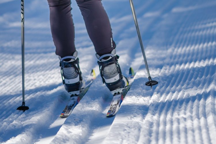
The Malartic Outdoor Sports Club is committed to providing its citizens and visitors with the opportunity for an active life even during the white season! The cold months are an opportunity to dress appropriately and go outside to play. Go cross-country skiing while admiring the breathtaking snowy landscapes offered by our undergrowth.
- electrocardiogram Easy
- mountain 14.5 Km (Mixed)
Sections
Grande Boucle Desjardins
- electrocardiogram Easy
- mountain 4.81 km (Loop)
Côte des Archers
- electrocardiogram Easy
- mountain 0.60 km (Linear)
La Rivière
- electrocardiogram Easy
- mountain 1.67 km (Loop)
Le Tremplin
- electrocardiogram Easy
- mountain 1.47 km (Mixed)
Connexion
- electrocardiogram Easy
- mountain 0.85 km (Linear)
Piste 4 Saisons
- electrocardiogram Easy
- mountain 6.31 km (Linear)
Points of service and interest
Category Name
-
 Reception et services
Accueil et service de location d'équipement
48°08'43.7"N
Reception et services
Accueil et service de location d'équipement
48°08'43.7"N
78°06'33.2"O -
 Parking
Stationnement du Club de sports de plein air de Malartic
48°08'44.0"N
Parking
Stationnement du Club de sports de plein air de Malartic
48°08'44.0"N
78°06'34.0"O -
 Refuge
 du Club de sports de plein air de Malartic
48°8'59,034"N
Refuge
Refuge du Club de sports de plein air de Malartic
48°8'59,034"N
78°6'40,009"O -
Refuge
Refuge du Club de sports de plein air de Malartic
48°9'1,007"N
78°6'12,21"O -
 Bench
Banc Malartic
48°9'15,003"N
Bench
Banc Malartic
48°9'15,003"N
78°5'57,645 "O -
Bench
Banc rouge intersection ski de fond du Club de sports de plein air de MalarticBanc jaune du Club de sports de plein air de Malartic
48°9'6,346"N
78°5'57,343"O -
 slide
Glissade Malartic
48°08'45.2"N
slide
Glissade Malartic
48°08'45.2"N
78°06'23.6"O -
Parking
Stationnement de l'arche de Malartic
48°8'52,85"N
78°6'50,278"O
Accessibility
Access Rights
 Free, no reception infrastructure .
![]() Pets are NOT ALLOWED.
Pets are NOT ALLOWED.
Directions to the starting point
In Malartic, from the roundabout on Highway 117, take the path to the Camping-Régional (1.4 km). The destination is on your left.
Parking (large) : Free, open year-round.
Position : 48°10'39,608"N | 79°8'4,43"O
![]() View the route from your location on Google Map
View the route from your location on Google Map
Contact
Address : 101, chemin du Camping, Malartic, Quebec, J0Y1Z0
P 819 757-2354 post 110
Email : clubpleinairmalartic@gmail.com
Specifications
- All maintained slopes for classic skiing and skating.
- Double and single traditional layout.
- relatively flat terrain.
Comments social0
Tools ready to go
- mapsquare Download GPS track (GPX)
- Google driving directions
-
 Sunrise : 07:25
Sunset : 18:32 -
Equipment for rent Club plein air Malartic
Info & advice
- Animation et interprétation
- Care
- Carte et orientation
- Clothes
- Emergency
- Equipment
- Nutrition
- Prevention
- Prevention
Caution
This sheet has been prepared from information provided by outdoor enthusiasts deemed sufficiently reliable and experienced. Errors or omissions are always possible and Tourisme Abitibi-Témiscamingue cannot accept responsibility for any problem or accident that may arise from this sheet or be attributed to its use. If you notice any errors or omissions during your expedition, we would be very grateful if you would let us know by email pleinair@atrat.org in order to keep our information up to date.
