
Laniel cross-country skiing
Laniel cross-country skiing
Laniel, Témiscamingue
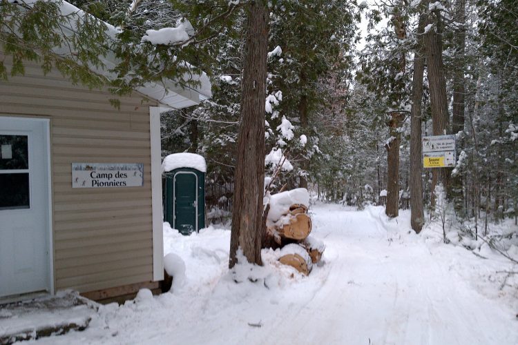
Cross-country ski trail from the main chalet to the pioneer camp 0.9 km and from the pioneer camp to the main chalet 1.1 km.
- electrocardiogram Easy to Moderate
- mountain 5.2 Km (Linear)
- calendar seasonal
Sections
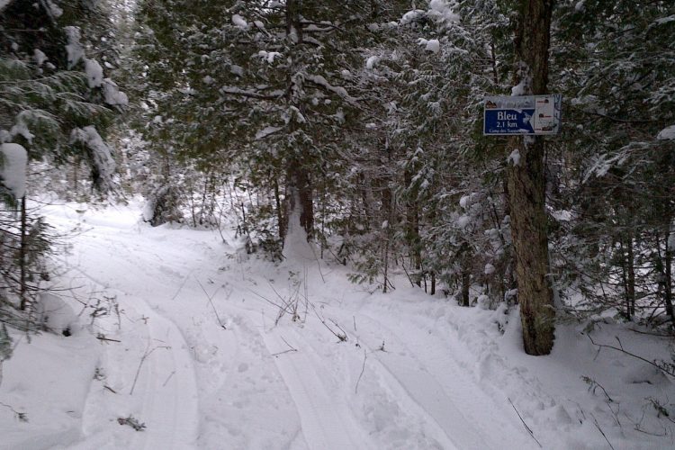
Sentier de ski de fond-Laniel Bleu1
- electrocardiogram Easy
- mountain 2.57 km (Linear)
Sentier de ski de fond-Laniel Bleu 2
- electrocardiogram Easy
- mountain 1.80 km (Linear)
Sentier de ski de fond-Laniel Jaune
- electrocardiogram Easy
- mountain 0.93 km (Linear)
cross-country ski trail-Laniel Blue1
- electrocardiogram Easy
- mountain 2.57 km (Linear)
cross-country ski trail-Laniel Blue 2
- electrocardiogram Easy
- mountain 1.80 km (Linear)
cross-country ski trail-Laniel Yellow
- electrocardiogram Easy
- mountain 0.93 km (Linear)
Points of service and interest
Category Name
 Refuge
 Parking
Accessibility
Access Rights
![]() Free, no reception infrastructure.
Free, no reception infrastructure.
Indication to reach the starting point:
Directions to the starting point: take the ski trail from Route 101. Go about 300 meters and follow the sign on your left.
Specifications
1 shelter
Comments social0
Tools ready to go
- map Guide map (PDF)
- mapsquare Download GPS track (GPX)
- Google driving directions
-
 Sunrise : 07:29
Sunset : 18:38
Info & advice
- Animation et interprétation
- Care
- Carte et orientation
- Clothes
- Emergency
- Equipment
- Nutrition
- Prevention
- Prevention
Caution
This sheet has been prepared from information provided by outdoor enthusiasts deemed sufficiently reliable and experienced. Errors or omissions are always possible and Tourisme Abitibi-Témiscamingue cannot accept responsibility for any problem or accident that may arise from this sheet or be attributed to its use. If you notice any errors or omissions during your expedition, we would be very grateful if you would let us know by email pleinair@atrat.org in order to keep our information up to date.
