
Preissac Mountain bike trails
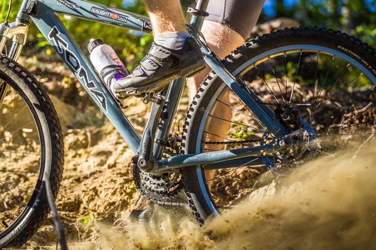
Preissac Mountain bike trails
Preissac, Amos Région
Located just 200 metres from the Observation Tower on 395, this trail winds through the boreal forest.
- electrocardiogram Moderate
- mountain 10 Km (Mixed)
- calendar seasonal
Points of service and interest
Category Name
 Observation tower
 Parking
Accessibility
Access Rights
Free, no visitor facilities.
Pets are allowed.
Directions to the starting point
From Amos, take the 395 road towards Preissac. After the village, continue a few kilometers to the sign Municipality of Preissac/ Rock trail. The parking lot is located on the left side of Route 395, 200 metres past the observation tower.
From Val-d'Or, take Route 117 north and turn right onto Route 395.
From Rouyn-Noranda, take Route 117 south and turn left onto Route 395.
Cross the bridge and continue a few kilometers to the sign Municipality of Preissac/ Rock Trail. The parking lot is located on the left side of Route 395 200 metres before the observation tower.
Parking : free
Position : 48°19'06.5"N 78°23'45.2"O
Address :
425 de l'avenue du Lac, Preissac (near the observation tower)
View the route on Google Map
Contact :
T 819 732-4938
| info@preissac.com
Visit the website
Trail Markings
Circles with small orange and blue arrows nailed to the trees indicate the way to follow.
Comments social0
Tools ready to go
Info & advice
- Care
- Carte et orientation
- Caution
- Emergency
- Equipment
- Nutrition
-
Prevention
- 10 articles de première nécessité
- Bien s'hydrater
- Comment lire la météo dans les nuages? Faire la pluie et le beau temps !
- Éviter les ampoules aux pieds
- Éviter les mauvaises rencontres en milieu sauvage
- Insectifuges
- LA PRÉPARATION DU CYCLISTE : PORT DU CASQUE PROTECTEUR
- Les moustiques
- Lunettes de soleil
- MALADIE DE LYME : PRÉVENIR LES PIQÛRES DE TIQUE EN RANDONNÉE
- Perdu en forêt : quoi faire?
- Se protéger contre le soleil
- Vaporisateur Chasse-ours
- Réglementation
Caution
This sheet has been prepared from information provided by outdoor enthusiasts deemed sufficiently reliable and experienced. Errors or omissions are always possible and Tourisme Abitibi-Témiscamingue cannot accept responsibility for any problem or accident that may arise from this sheet or be attributed to its use. If you notice any errors or omissions during your expedition, we would be very grateful if you would let us know by email pleinair@atrat.org in order to keep our information up to date.