
Club Skinoramik mountain bike trails
Club Skinoramik mountain bike trails
Sainte-Germaine-Boulé, La Sarre et l'Abitibi-Ouest
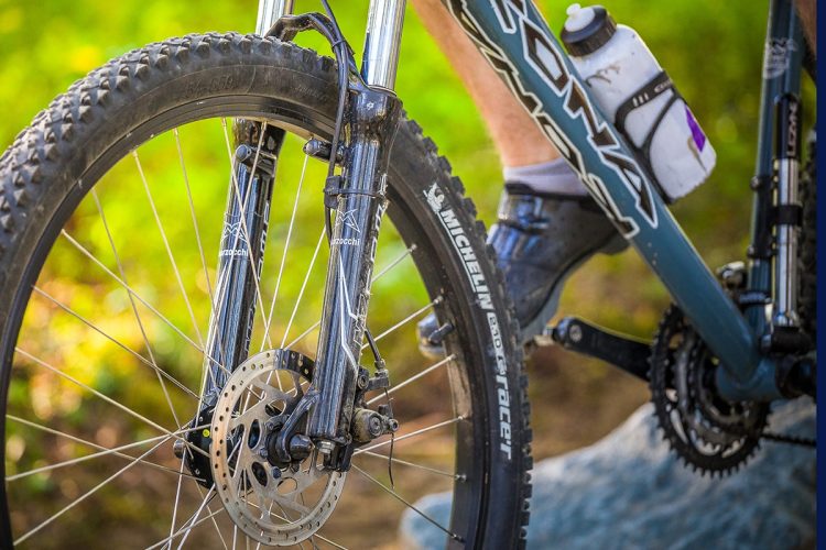
The pure, fresh air of Abitibi-Ouest combined with quality facilities, this is what Skinoramik offers you for a superb bike ride.
P 819 787-6178
2000, Rang 2 & 3 Est, Sainte-Germaine-Boulé, Québec, J0Z 1M0
- mountain Linear
- calendar seasonal
Sections
Sentier-Vélo de montagne
- electrocardiogram Easy
- mountain 4.07 km (Linear)
Accès-Shack à pépère
- electrocardiogram Easy
- mountain 0.04 km (Linear)
Points of service and interest
Category Name
-
 Bench
Banc Club Skinoramik
48° 36.140' N
Bench
Banc Club Skinoramik
48° 36.140' N
79° 02.300'O -
 Reception et services
Chalet d'accueil du club Skinoramik
48°36'07.776"N
Reception et services
Chalet d'accueil du club Skinoramik
48°36'07.776"N
79°02'17.558"O -
 Parking
Stationnement Skinoramik
48°36'09.2"N
Parking
Stationnement Skinoramik
48°36'09.2"N
79°02'19.5"O -
 Refuge
Shack à Pépère
48°36'24,037"N
Refuge
Shack à Pépère
48°36'24,037"N
79°1'0,779"O -
 Toilet
te Club Skinoramik
48° 36.394'N
Toilet
Toilette Club Skinoramik
48° 36.394'N
79° 01.012O -
 Bridge
Pont Club Skinoramik 1
48° 36.577' N
Bridge
Pont Club Skinoramik 1
48° 36.577' N
79° 01.179'O
Accessibility
Access Rights
 Free, no visitor facilities.
Directions to reach the site
From La Sarre, take Route 393 South. Turn left onto 2nd and 3rd Ranks. In the heart of the village, continue straight ahead on the 2nd and 3rd Ranks path. The club is at the end of the path.
From Rouyn-Noranda, take Highway 101 north. Turn left on 1st and 10th Row, and right on 1st to 2nd Row. Turn right again on 2nd and 3rd Rang. The club is at the end of the road. Parking: Free
Comments social0
Tools ready to go
Info & advice
- Care
- Carte et orientation
- Caution
- Emergency
- Equipment
- Nutrition
-
Prevention
- 10 articles de première nécessité
- Bien s'hydrater
- Comment lire la météo dans les nuages? Faire la pluie et le beau temps !
- Éviter les ampoules aux pieds
- Éviter les mauvaises rencontres en milieu sauvage
- Insectifuges
- LA PRÉPARATION DU CYCLISTE : PORT DU CASQUE PROTECTEUR
- Les moustiques
- Lunettes de soleil
- MALADIE DE LYME : PRÉVENIR LES PIQÛRES DE TIQUE EN RANDONNÉE
- Perdu en forêt : quoi faire?
- Se protéger contre le soleil
- Vaporisateur Chasse-ours
- Réglementation
Caution
This sheet has been prepared from information provided by outdoor enthusiasts deemed sufficiently reliable and experienced. Errors or omissions are always possible and Tourisme Abitibi-Témiscamingue cannot accept responsibility for any problem or accident that may arise from this sheet or be attributed to its use. If you notice any errors or omissions during your expedition, we would be very grateful if you would let us know by email pleinair@atrat.org in order to keep our information up to date.
