
Mont Powell Mountain Bike Trails
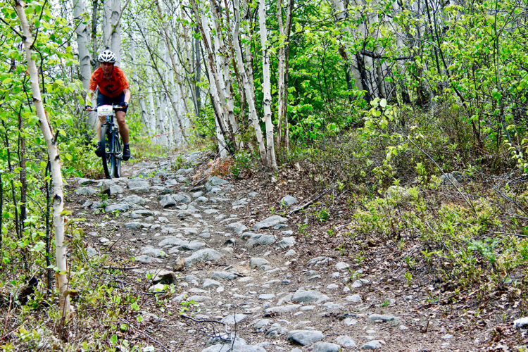
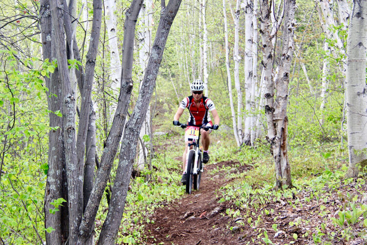
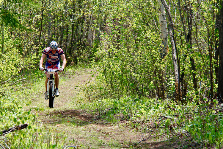
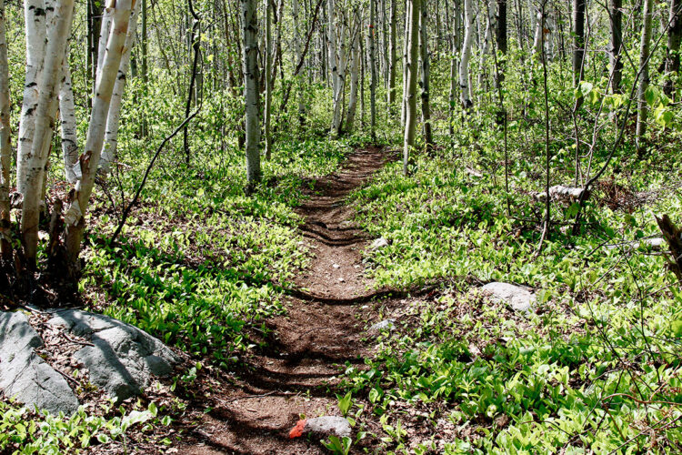
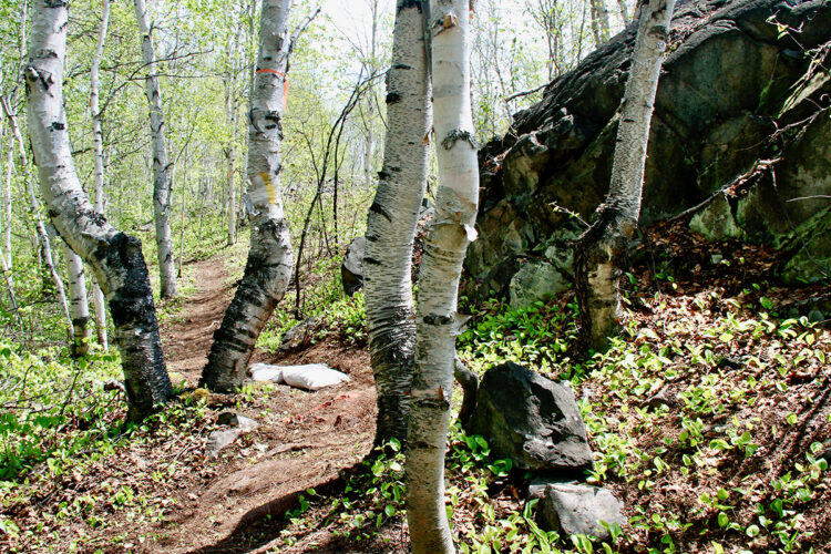
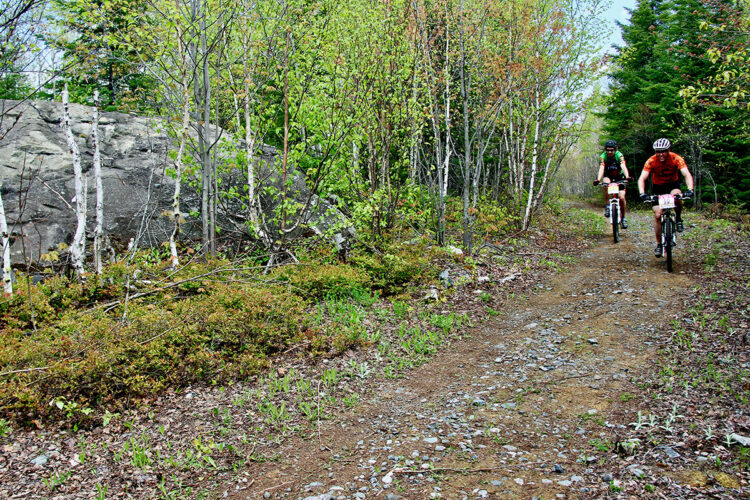
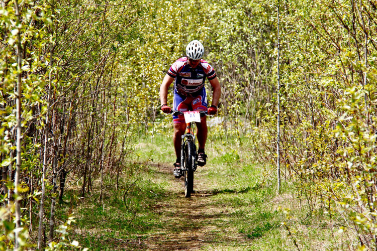
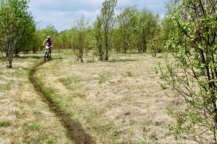
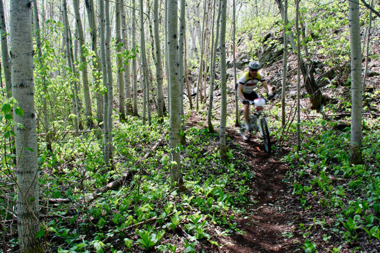
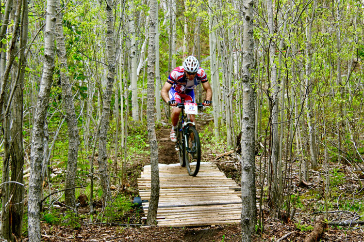
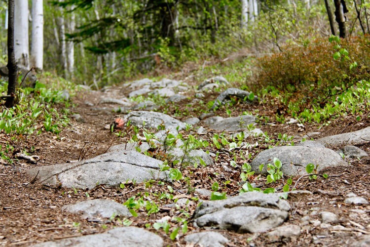
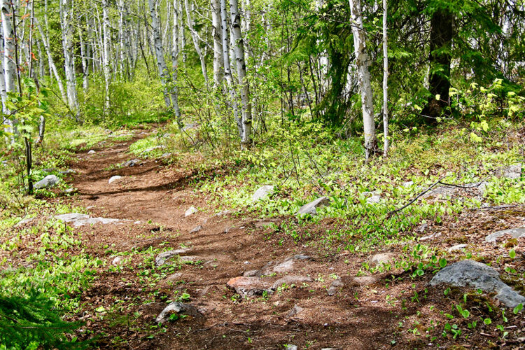
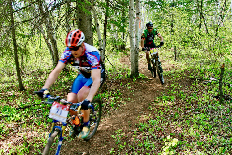
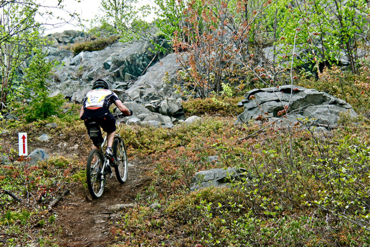
Mont Powell Mountain Bike Trails
Rouyn-Noranda, Rouyn-Noranda
- electrocardiogram Easy to Demanding
- mountain 18.22 Km (Mixed)
- calendar seasonal
Sections
Boulevard Silidor
- electrocardiogram Easy
- mountain 1.61 km (Linear)
Bibitte
- electrocardiogram Easy
- mountain 0.78 km (Loop)
Cueilleurs
- electrocardiogram Moderate
- mountain 1.61 km (Mixed)
Halloween
- electrocardiogram Moderate
- mountain 1.17 km (Linear)
Bikini
- electrocardiogram Moderate
- mountain 2.32 km (Loop)
Héoui
- electrocardiogram Very demanding
- mountain 1.98 km (Mixed)
Marche de l'enfer
- electrocardiogram Demanding
- mountain 3.58 km (Linear)
Vox
- electrocardiogram Demanding
- mountain 0.92 km (Linear)
Stonehenge
- electrocardiogram Very demanding
- mountain 3.70 km (Linear)
VAAP
- electrocardiogram Very demanding
- mountain 1.55 km (Linear)
Points of service and interest
Category Name
 Parking
 Sandy beach / Swimming
 Panorama
Accessibility
Indication to reach the starting point
At Rouyn-Noranda, take Saguenay Boulevard northbound. At the traffic lights near the cemetery, turn left onto Bradley Road (Route 101 South). Immediately after the cemetery, turn right onto Powell Road.
![]() View the route from your location on Google Maps
View the route from your location on Google Maps
Free outdoor parking.
Position : 79°2'58,5"O 48°15'46,465"N
Coordinates : chemin du Mont Powell, Rouyn-Noranda, QC |
Website | Facebook
Comments social0
Tools ready to go
- map Guide map (PDF)
- mapsquare Download GPS track (GPX)
- Google driving directions
-
 Sunrise : 07:20
Sunset : 18:47
Info & advice
- Care
- Carte et orientation
- Caution
- Emergency
- Equipment
- Nutrition
-
Prevention
- 10 articles de première nécessité
- Bien s'hydrater
- Comment lire la météo dans les nuages? Faire la pluie et le beau temps !
- Éviter les ampoules aux pieds
- Éviter les mauvaises rencontres en milieu sauvage
- Insectifuges
- LA PRÉPARATION DU CYCLISTE : PORT DU CASQUE PROTECTEUR
- Les moustiques
- Lunettes de soleil
- MALADIE DE LYME : PRÉVENIR LES PIQÛRES DE TIQUE EN RANDONNÉE
- Perdu en forêt : quoi faire?
- Se protéger contre le soleil
- Vaporisateur Chasse-ours
- Réglementation
Caution
This sheet has been prepared from information provided by outdoor enthusiasts deemed sufficiently reliable and experienced. Errors or omissions are always possible and Tourisme Abitibi-Témiscamingue cannot accept responsibility for any problem or accident that may arise from this sheet or be attributed to its use. If you notice any errors or omissions during your expedition, we would be very grateful if you would let us know by email pleinair@atrat.org in order to keep our information up to date.
