The mythical Dumoine River is a natural jewel of Abitibi-Témiscamingue at the end of a unique paddling network with multiple trails possibilities.
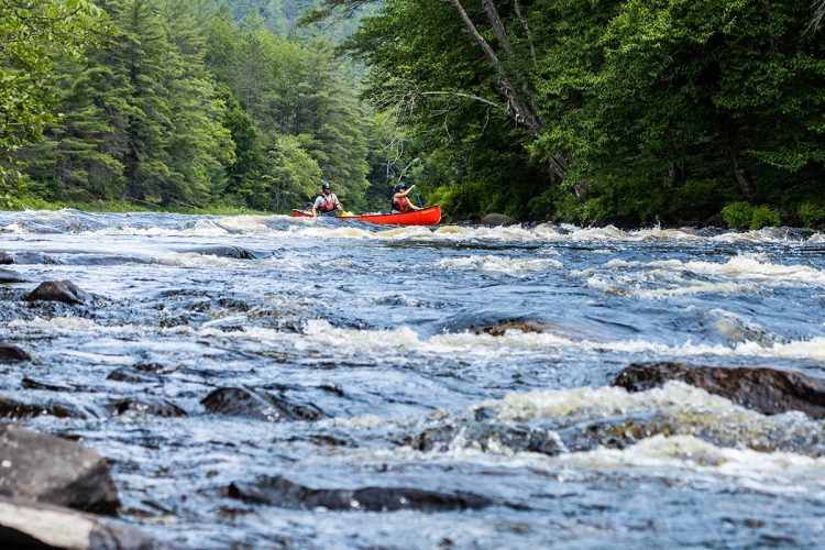
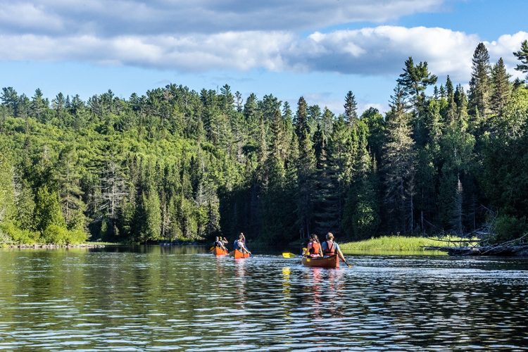
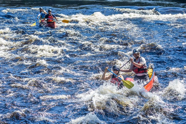
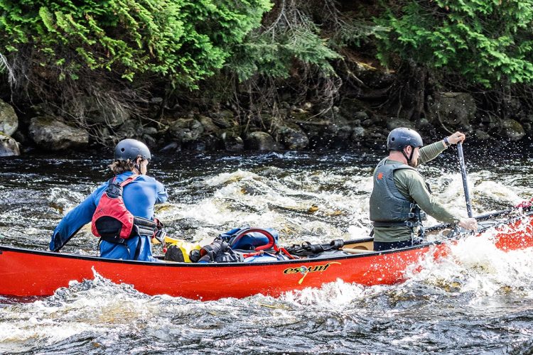
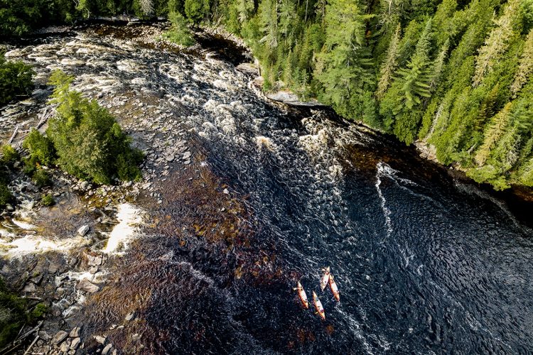
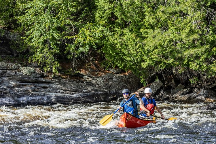
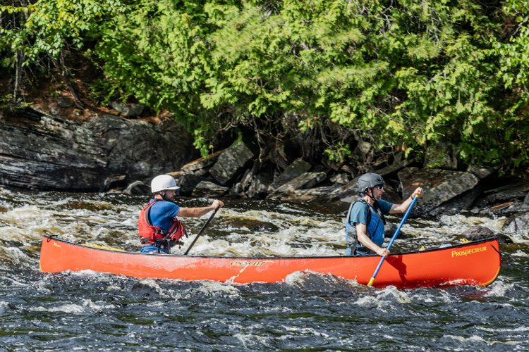
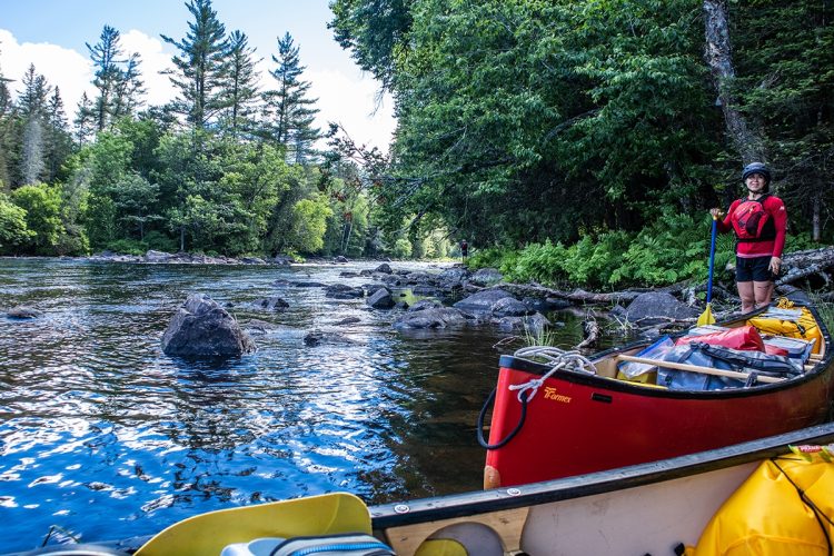
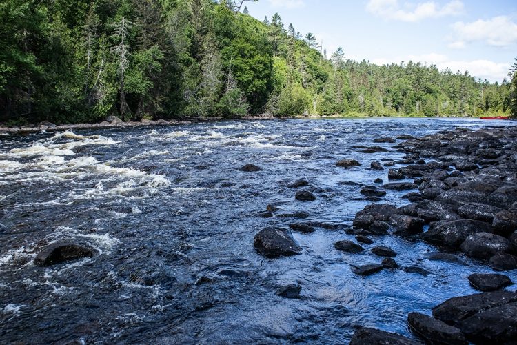
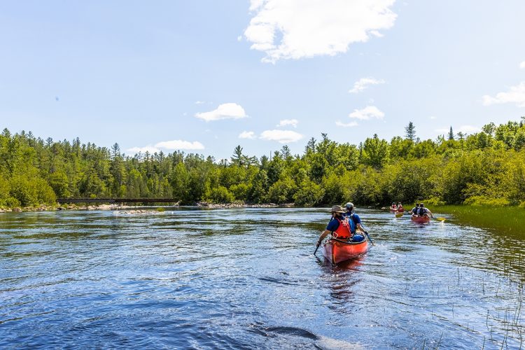
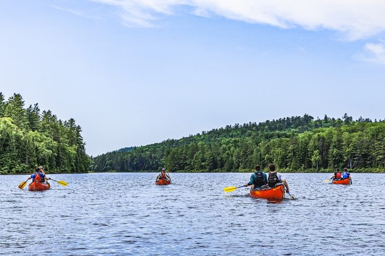
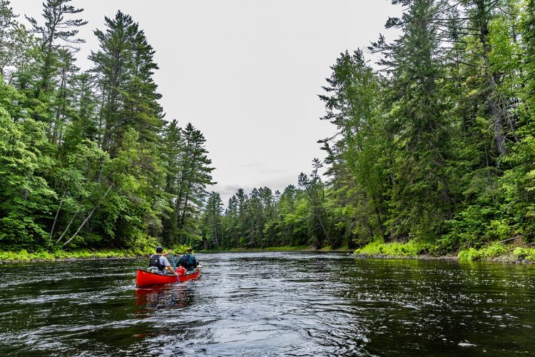
With its narrow canyons, its meanders, its excellent combination of lakes and rivers in the hollow of the hills, its many perfectly distributed class 1 to 3 paddleable rapids, the clarity of its water which gives this impression so obvious of purity, a few portages in a path to stretch your legs and vary your memories and its splendid campsites on pine needles, the Dumoine is the mecca of rivers in Canada. No wonder she was a favorite of Bill Masson, long considered Canada's greatest boater. This river offers you a fabulous descent in a wild nature.
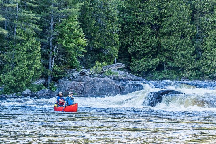
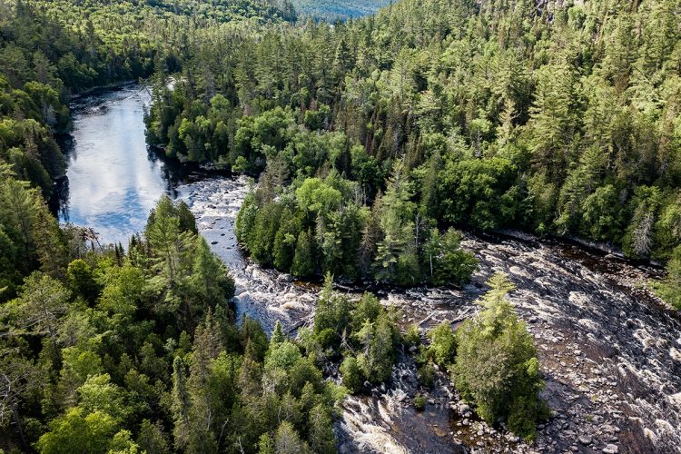
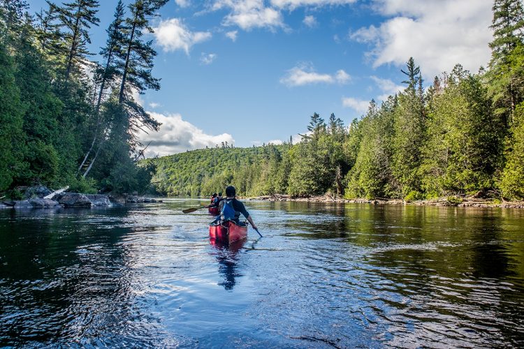
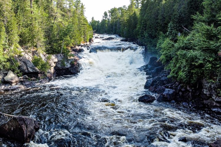
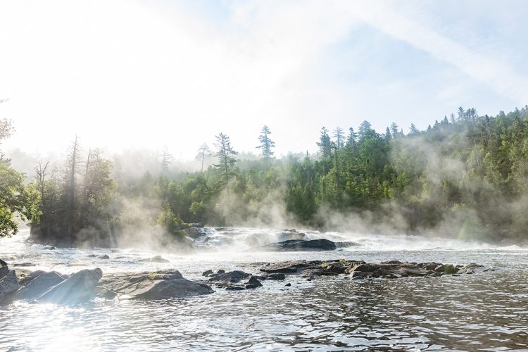
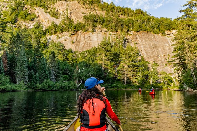
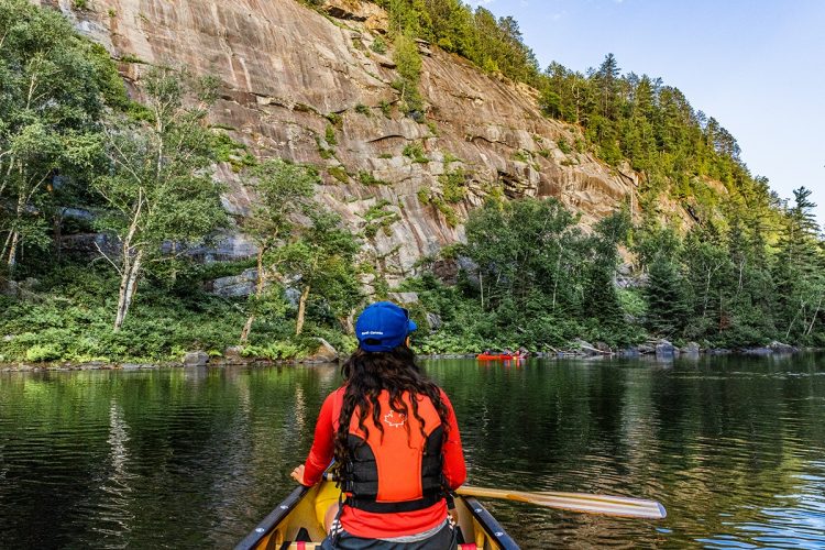
Of an average width preserved in length and scrolling through a rugged relief, the Dumoine enjoys a wide range of landscapes with a thousand beauties composed of gigantic white and red pines, vertiginous falls, turbid waterfalls, fish-filled lakes, marshy sections, sandy and rocky shores and large cliffs. An isolated, untouched and intoxicating universe buzzing with fauna and flora to discover.
INTERACTIVE AND PAPER MAP (PDF) COMING SPRING 2023
3- The west bank of the Dumoine River is located within the territory of the ZEC DUMOINE between Lake Benoit and the Ottawa River.
You must therefore pay a vehicle fee ($13/vehicle) to the ZEC Dumoine to access Lake Benoit by vehicle, access fees to the Grande Chute portage trail ($5/person), and camping fees if you camp on the west side of the Dumoine River ($7 per night/person).
Are you looking for transportation to get your canoes and luggage to the starting point of this dream trip?
The Coop de l’Arrière Pays offers a road transportation service from Témiscamingue, lasting approximately 3 hours along forest roads to the Dumoine River at the Jean Baptiste Rapids, at km 64, 3 km upstream from Lake Benoît.
Driving directions to reach the starting point
From Témiscaming, head southeast on Kipawa Road (4.9 km). Continue on Kipawa Bay Road (3.3 km). Turn right onto Maniwaki Road (7.5 km). Continue straight on Commonwealth Road (89 km). At the T-intersection, continue straight to reach the boat launch upstream from the Bridge Rapids (3.6 km).
Topographic maps at a scale of 1:50,000 for the entire route are available in PDF format on this sheet and we recommend that you use them during your outing. The use of a GPS containing the route layout is also strongly recommended.
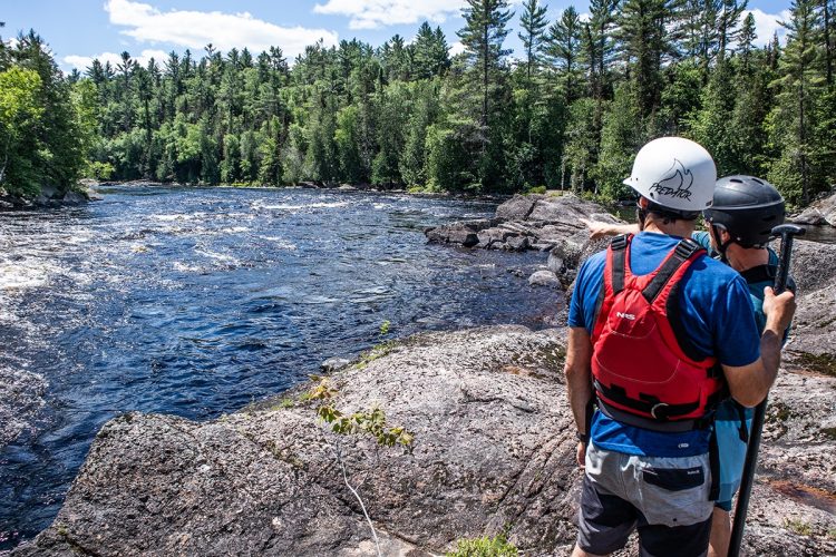
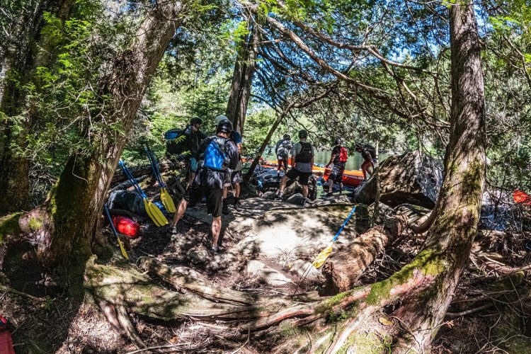
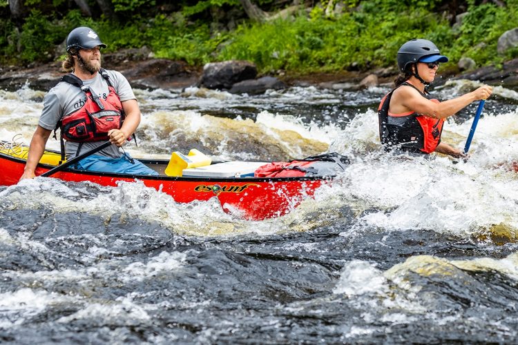
Several portage trails are available along the rapids of increased difficulty.
Obstacles and dangers
Dumoine Lake is turbulent and even dangerous in strong winds. It is recommended to stay close to the shore. The wind can change quickly in strength and direction. It can create short, sharp waves that make it difficult to steer and can destabilize boats and cause them to capsize.
Camps
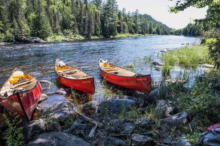
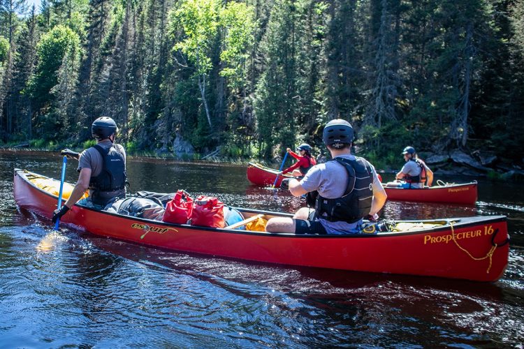
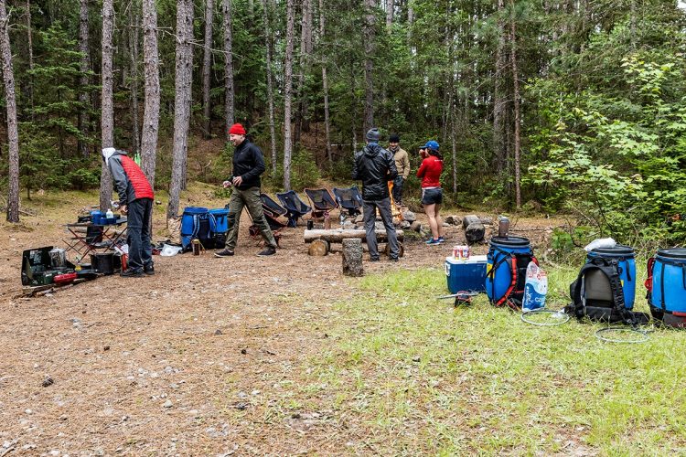
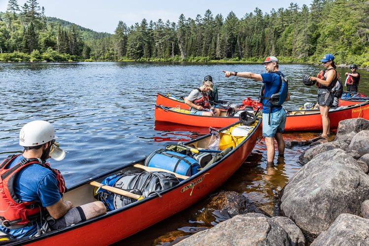
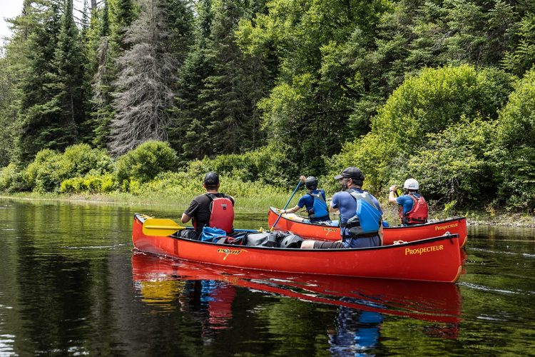
The Dumoine River is perfectly equipped for canoe camping, with wilderness campsites that can accommodate several groups at a time. Its campsites are numerous and well-distributed, offering a pleasant degree of autonomy in choosing your route. They are large and of good quality, most of them on a pine needle carpet. Many have a well-equipped fire pit and pit toilets. The campsites are located on the shores, beaches, and islands.
They are distributed throughout the route. It is essential to leave campsites in impeccable condition, following the Leave No Trace principles.
Human presence
Motorboat traffic on Lake Dumoine.
Cottages and roads are present in places, especially on the larger lakes.
Popular and busy in summer.
Natural Environment
History
The Dumoine River is rich in history and is home to numerous archaeological sites.
The regions we call Kipawa, La Vérendrye Wildlife Reserve, and Algonquin Park were and still are the traditional hunting grounds of the Algonquin nation. Nomadic by nature, the Algonquin hunted and fished on their territory in small bands and traded with other tribes along the Ottawa River (a natural trade route).
As early as 1613, the Dumoine River became an important crossing point (an alternative route) for the Georgian Bay Indigenous peoples who were going to sell their furs in Quebec City. Through a network of lakes and rivers, they skirted the Ottawa River, where the Algonquin chief Tessouat had established a large encampment on Morrison Island, downstream from Rapides-des-Joachims. In an effort to control trade, Tessouat charged a toll for portaging on his island (1610-1647). Some travelers agreed to pay, while others took a detour via the Dumoine and Kipawa Rivers to reach Montreal and Quebec City. The deadly raids led by the Iroquois around the 1640s made navigation to Lachine dangerous and forced the Algonquins to abandon the Ottawa Valley and live in the Laurentian Highlands for several decades.
In 1730, the French built a fort at the mouth of the river. Its purpose was to facilitate trade with the Nishnabis and protect them from the constant raids of the Iroquois. The fort was built on a meeting and trading site used since ancient times by the Fatheads, the Huron, and other northern nations.
First owned by the Hudson's Bay Company, it was managed by independents after the English conquest and then passed into the hands of the North West Company in 1784. In 1811, it returned to the Hudson's Bay Company and only ceased operations in 1860 due to logging companies destroying wildlife habitats and nearly wiping out the beavers. The Nishnabis moved further north to find untouched hunting grounds.
At Indiant Point (real name Mos Sakik), at the confluence of Lake Dumoine and the Orignal River, a Nishnabi community lived until 1918. A terrible flu epidemic almost completely wiped out the village, and only eight people, including three children, survived and left to join another community in Kipawa.
The logging industry has left some interesting vestiges. In some places, you can still see remains of logging camps from the last century, alligator boats, and slides.
Geography
The Dumoine River rises at Machin Lake, in the La Vérendrye Wildlife Reserve located south of Val-d'Or.
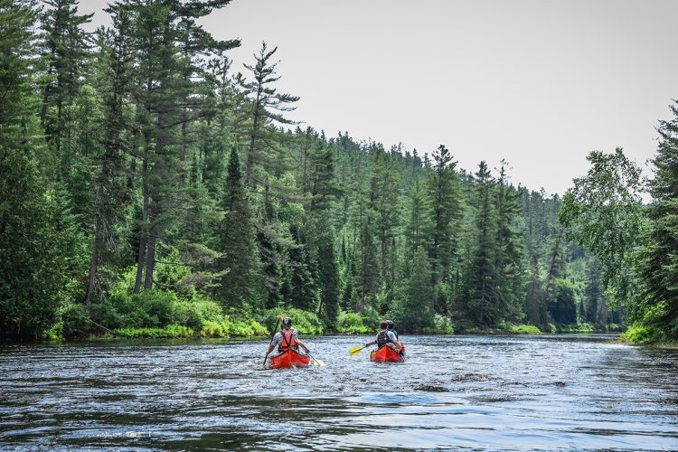
It flows due south for 144 kilometers through a very wild territory east of Témiscamigue to Hoden Lake on the Ottawa River, near Rapides-des-Joachims (Quebec) and Rolphton (Ontario), approximately halfway between Ottawa and Témiscaming. For all practical purposes, the river itself can be considered to begin downstream from the very large Dumoine Lake, whose northern section is made up of long, narrow bays that offer various access options.
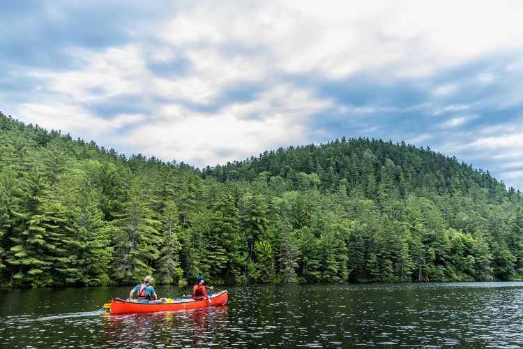
The Dumoine flows through a very wild environment composed of typical Laurentian landscapes with rugged terrain and unspoiled nature. It is the only major river in southern Quebec to have remained wild and free of any dams.
Wildlife
The Dumoine forest has abundant wildlife with deer, moose, mink, wolves, otters, beavers, turtles, eagles and nesting falcons.
Flora
The Dumoine River site boasts a very wide diversity of forest types, including deciduous, mixed, and coniferous forests. The stands in this area include several pine forests (white pine, red pine, red oak), sugar maple stands, red oak and white pine forests, etc.
Toponymy
Probably named in honor of Jean Lemoine, ancestor of Sir James Le Moine, or for one of his sons.
Related tracks
The Abitibi-Témiscamingue region offers various access options to the Dumoine River. It provides paddlers with the opportunity to enjoy a unique and exotic experience over a few weeks thanks to a network of interconnected lakes and rivers that cross its territory from west to east, with the descent of the Dumoine River as the ultimate reward at the end of the journey.
This sheet has been prepared from information provided by outdoor enthusiasts deemed sufficiently reliable and experienced. Errors or omissions are always possible and Tourisme Abitibi-Témiscamingue cannot accept responsibility for any problem or accident that may arise from this sheet or be attributed to its use. If you notice any errors or omissions during your expedition, we would be very grateful if you would let us know by email pleinair@atrat.org in order to keep our information up to date.
Ce fichier texte est en format GPX. Il contient les données de traces et de points de navigation (waypoints). Il peut être visualisé via un éditeur de texte. Téléchargez gratuitement le gratuiciel GPS Babel pour importer le fichier contenant les traces et les points de navigation dans votre GPS.
Dans la section INPUT, sélectionner « Fichier ». Dans la rubrique Format, à l’aide de la liste déroulante, « GPX XML ». Cliquer sur le bouton File Name(s) pour accéder au fichier GPX téléchargé dans l’ordinateur.
Dans la section Translation Options, sélectionner « Waypoints » et « Traces ».
Brancher le GPS à l’ordinateur à l’aide d’un câble USB.
Dans la section Sortie, sélectionnez « Périphérique ». Choisir le format correspondant à la marque du GPS. Dans la rubrique Nom de périphérique, sélectionner « usb : ».

 Parking
Stationnement du pont du km 46 de la rivière Dumoine
46°39’42,8”N
Parking
Stationnement du pont du km 46 de la rivière Dumoine
46°39’42,8”N Boat launching site
Mise à l'eau du kilomètre 46 de la rivière Dumoine en amont du pont
46°39’429”N
Boat launching site
Mise à l'eau du kilomètre 46 de la rivière Dumoine en amont du pont
46°39’429”N  Guiding Adventure
Coop de l'Arrière-Pays
47°19'58.512"N
Guiding Adventure
Coop de l'Arrière-Pays
47°19'58.512"N Topographic maps
 Water level
 Rapids, thresholds, falls
 Portages
 Obstacles and dangers
 Human presence
 Sunrise : 07:22