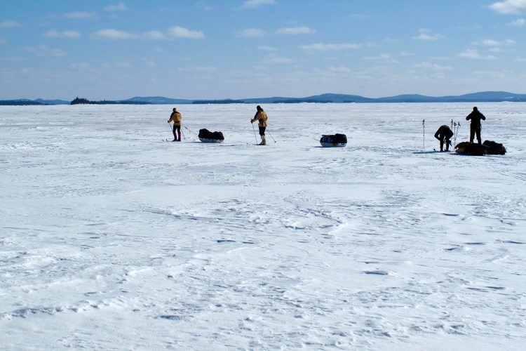
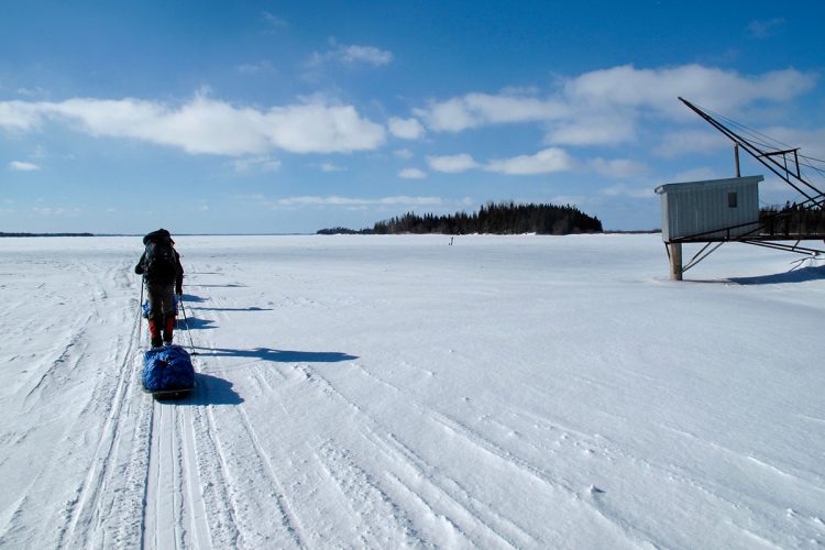
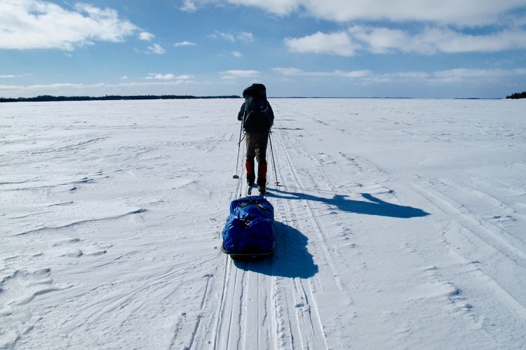
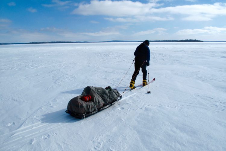
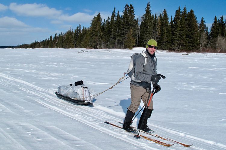
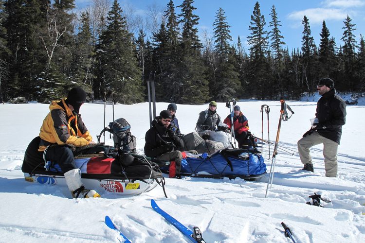
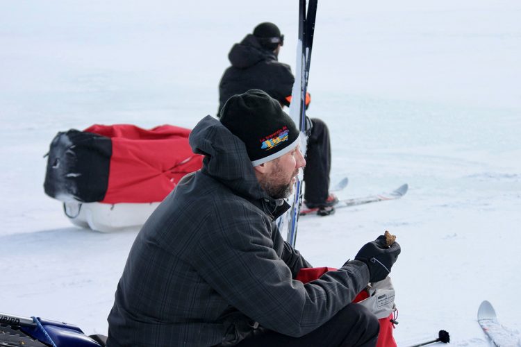
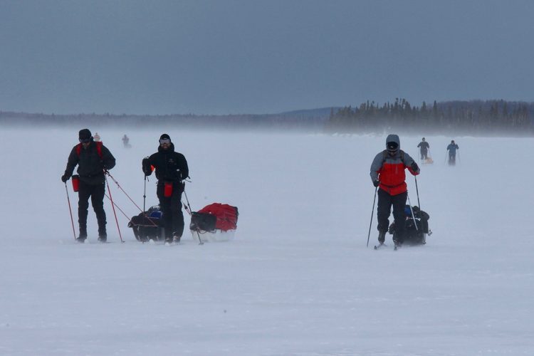
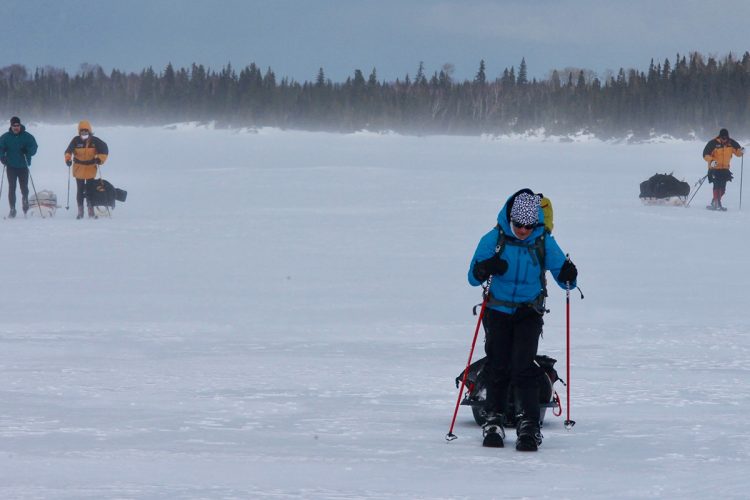
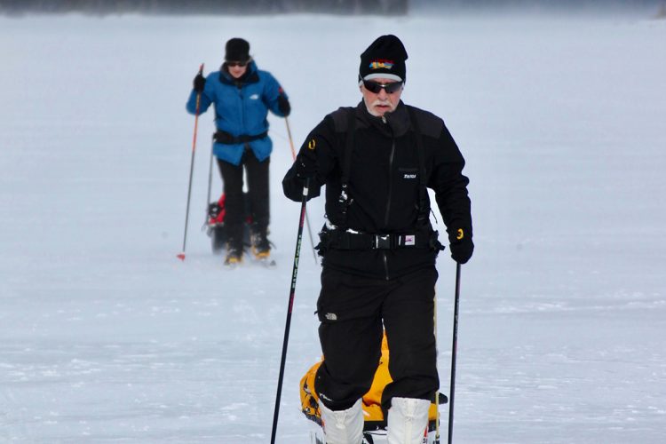
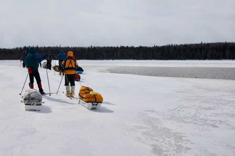
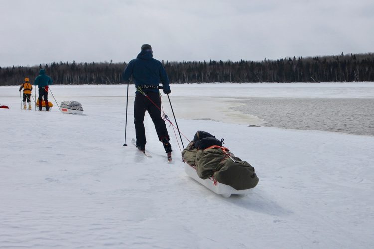
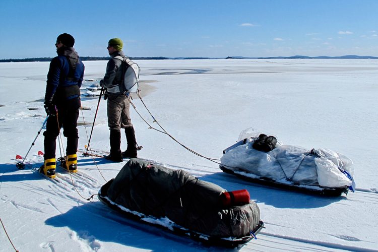
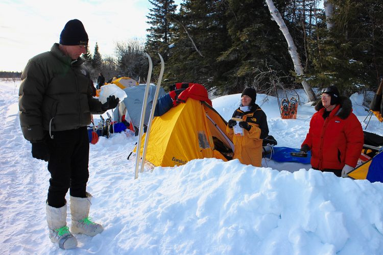
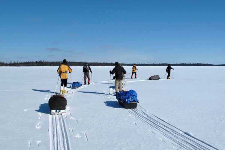
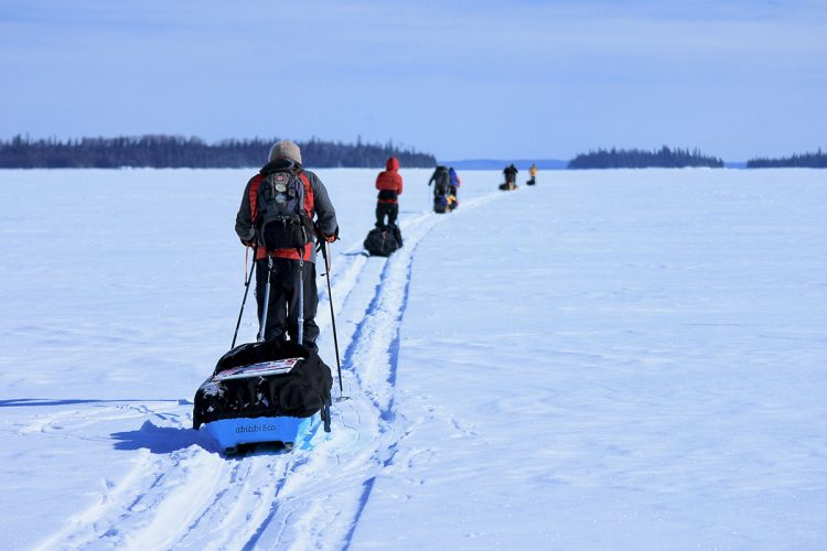
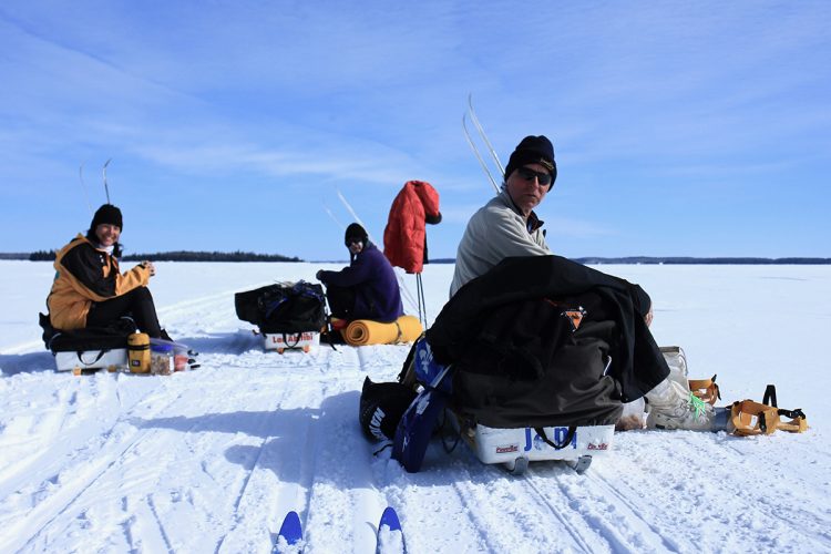
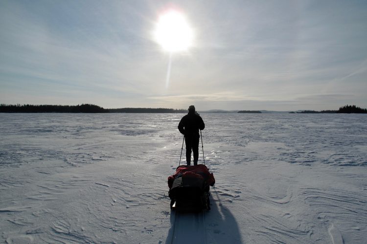
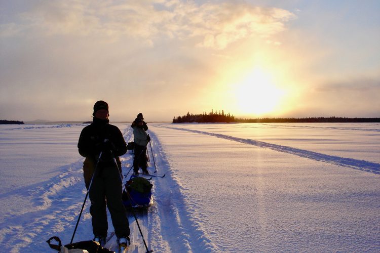
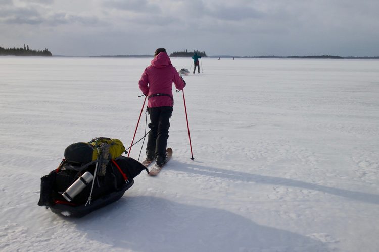
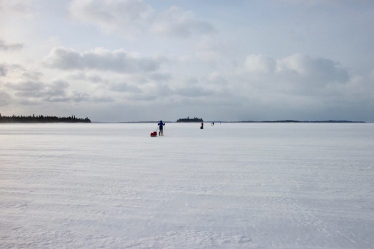
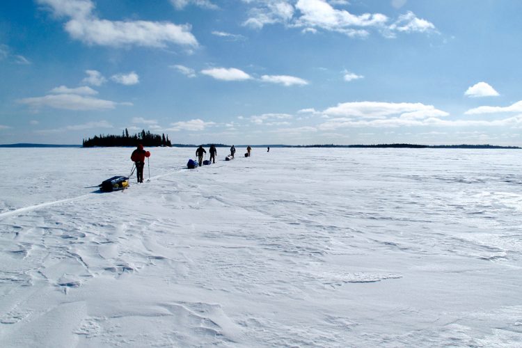
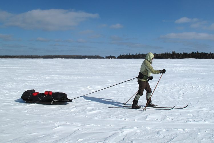
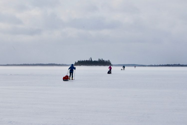
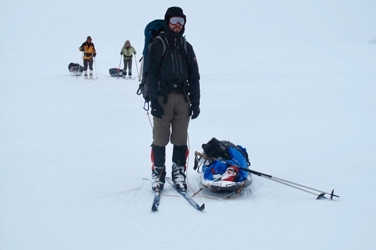
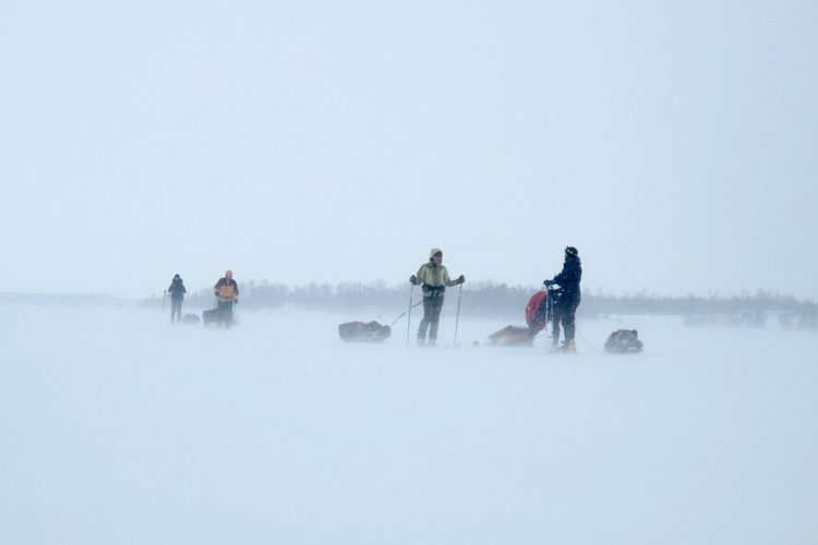
When the cold stings your eyes and the wind seems to freeze everything under its breath, Lake Abitibi becomes the ideal playground for outdoor enthusiasts in search of thrills. On this huge frozen lake, you will ski under a bright sun or in the middle of blizzard 80 kilometers to get over this immense expanse of ice and snow. At night, you will install your bivouac sheltered from the wind in the hollow of one of the hundreds of islands of the water. It is possible to add to your route about twenty kilometers on the bed of a river to finish your journey in the heart of La Sarre. A strong motivation and a lot of character are needed to face this legendary crossing.
Danger : Very isolated area, moving in the open at high wind (risk of freezing).
Narrow
electrocardiogram Very demanding
mountain 8.07 km (Linear)
elevation Elevation
Access : East (left) of the small island at the entrance to the Narrow.
Danger : Clear water and very thin ice before entering, in and out of the Narrow. It is essential to enter the narrow east of the small island, ski on the eastern shore throughout the section, go around the tip on the shore at the exit and sink into the bay before crossing it to reach Partridge Point. Very isolated sector.
Ontario West-East
electrocardiogram Very demanding
mountain 14.48 km (Linear)
elevation Elevation
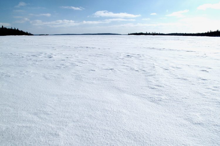
Interest : Large white expanse, mountainous relief on the horizon.
Danger : Clear water at the exit of the narrow, very isolated area, open movement in the strong wind (risk of freezing).
Népawa
electrocardiogram Demanding
mountain 26.76 km (Linear)
elevation Elevation
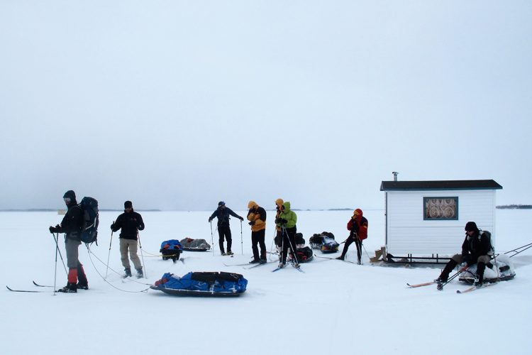
Interest : Crossing through an ice fishing cabin village.
Danger : Moving in the open at high winds (risk of frostbite).
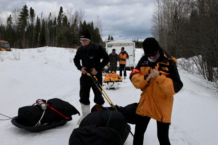
From La Sarre, take Route 111 North (28 km), turn left onto 6th and 7th Row Road which becomes Translimit Road (Ontario) for 22.4 km. Then turn right to continue on Translimit Road (Ontario) for 16.9 km. The destination is on your left.
Travel time from La Sarre: about 1 hour Coordinates: 48°59'02.3"N 79°50'36.2"O Parking: possibility to leave a car near the snowmobile trail (at your risk/ not recommended)
Directions to the arrival point
EXIT #1: Clerval
From La Sarre, take the road QC-111 Sud/QC-393 Sud towards Palmarolle (5 km). Turn right on 2nd and 3rd Rang towards Sainte-Hélène-de-Mancebourg and Clerval (18 km). Turn left onto 1st-Rang road (3.3 km). Turn right on 1st-10th Rang (1.3 km). The destination is directly in front of the launching ramp.
Travel time from La Sarre: about 25 minutes Coordinates: 48°43'10.6"N 79°27'42.7"O Parking: possibility to leave a car along the road (at your own risk)
EXIT #2: Rotary Beach launch ramp, Palmarolle
From La Sarre, take the QC-111 South/QC-393 South towards Palmarolle (11 km). Turn right on the path 8 & 9th row (3.9 km). Turn right to cross the Rotary campsite. The destination is on the left at the end of the Rotary campsite on Lake Abitibi.
This activity is for physically and mentally healthy people.
The vast majority of the route is in a very isolated natural environment within a few days of a heated building or medical services and that rescue and evacuation of an injured person can sometimes take several hours if a 911 call has been established. In the course of activity, it is essential to have all the materials, equipment and the food necessary to ensure its safety and complete autonomy.
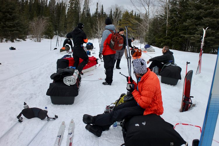
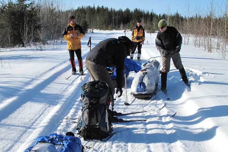
The cross-country ski trail is not paved or marked. It is possible in several places to find sections drawn by the passage of snowmobiles which facilitates the progression.
Skiing on this inland sea dotted with hundreds of islands can be very dangerous during strong winds or a blizzard. Some long sections are open-cut away from the shore and islands. During a blizzard, it is necessary to remain clustered (ski marks on the snow quickly disappear) and it is strongly recommended to stop skiing as soon as the possibility of sheltering near an island or shore arises.
A heavy snow cover can make the skier’s progress very slow and requires a lot of physical effort as he sinks into soft, thick snow on the ice with every step. During such a crossing, it is possible to ski on slush and sticky snow, these conditions also slow down the skier by an accumulation of ice or snow under his skis.
During breaks, it is recommended not to get off your skis unless you are on a very hard snow surface.
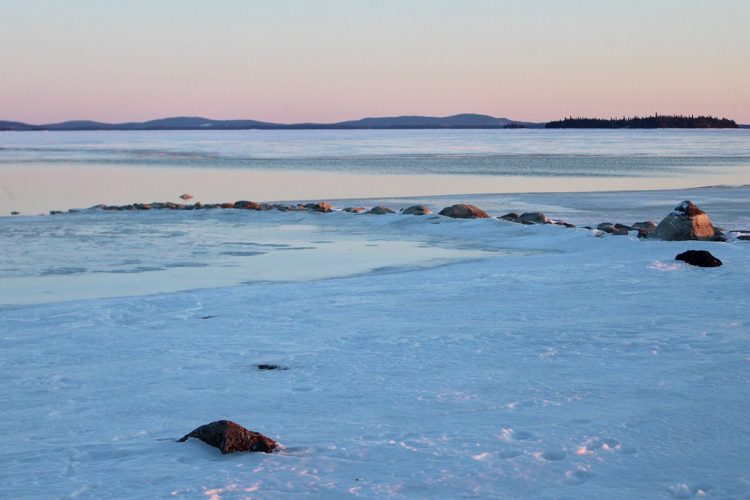
On a frozen lake, appearances are sometimes misleading, the ice layer may be too thin. It is important to be careful precisely near and along the Narrow where the ice remains very thin throughout winter and where there is presence of white water. In this section of the route, it is therefore essential to ski along the forest located on the east bank.
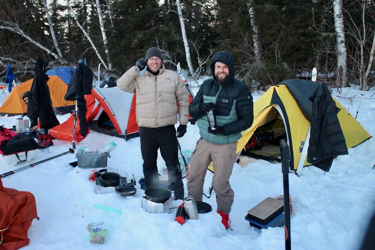
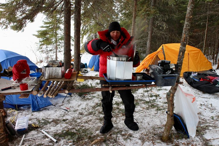
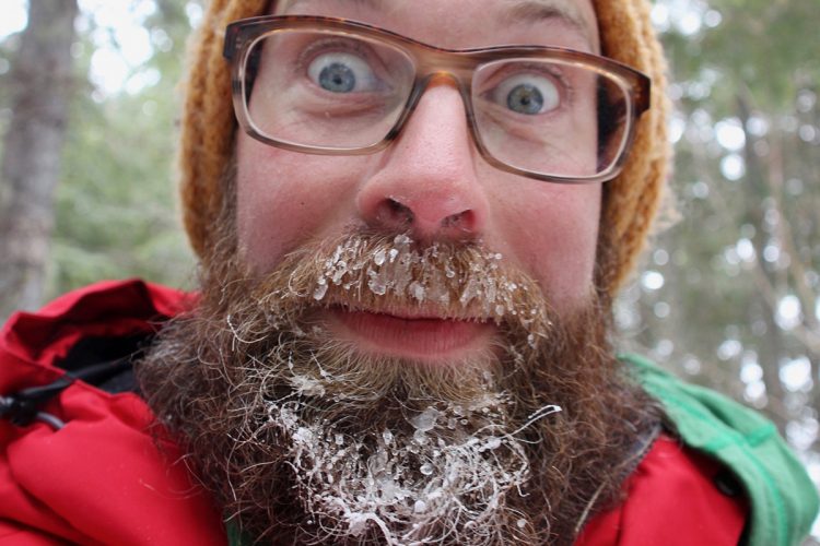
In winter, temperatures can drop below -40°C. Prior experience of winter camping at temperatures of -40°C is required before taking on the challenge of crossing Lake Abitibi. Make sure you have the necessary equipment to keep you warm (see recommended equipment list on this sheet).
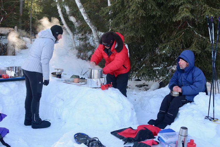
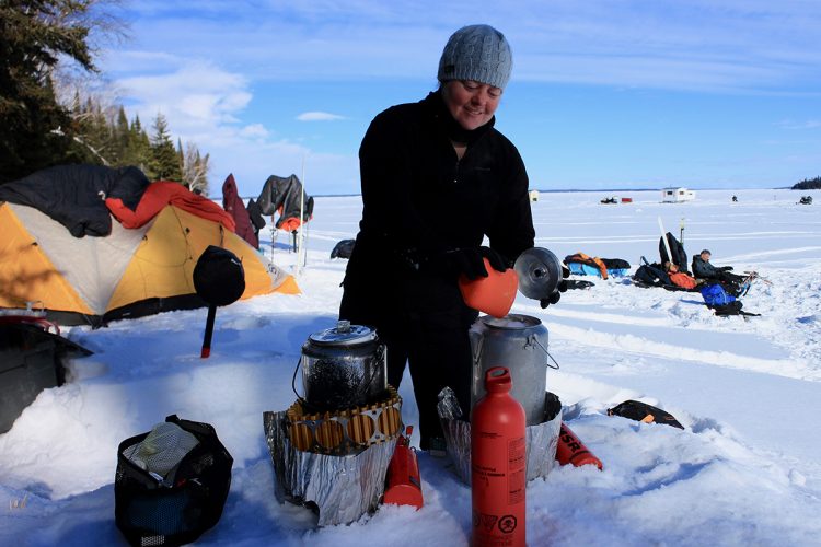
Water to drink during the activity comes from a lake or snow melt and this carries a risk of viral or bacterial diseases if contaminated. Water should be brought to a boil (100°C) and held in large bouillon for one minute to ensure that all microorganisms are destroyed.
Inherent Risks
There are risks inherent in winter cross-country skiing on Lake Abitibi :
Suffering from viral or bacterial diseases caused by contaminated water and/or food, unclean utensils and tools;
Suffer serious injuries, complications and even death from falling on sharp objects or in frozen lake water, falling trees, collision with off-road vehicle, crash or improper use of equipment, pulling a heavy load; suffer from shock, hyperventilation, burns, frostbite, hypothermia;
Suffer complications from their health such as heart attack, appendicitis or allergies;
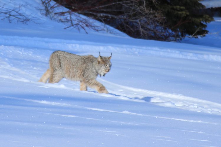
Being attacked by a wild animal.
Essential equipment (navigation and communication)
When crossing Lake Abitibi, it is strictly mandatory to have a satellite phone in your position for emergency communication and a GPS and a map and compass to navigate safely. Topographic maps
Topographic maps at a scale of 1/50,000 are available for the entire route and we recommend that you use them in conjunction with the guide map which can be downloaded from this sheet.
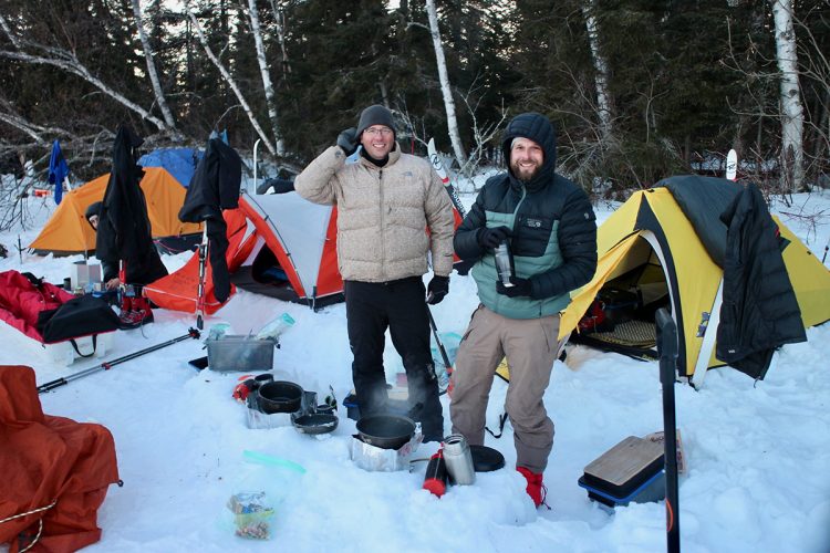
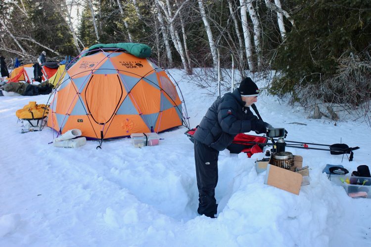
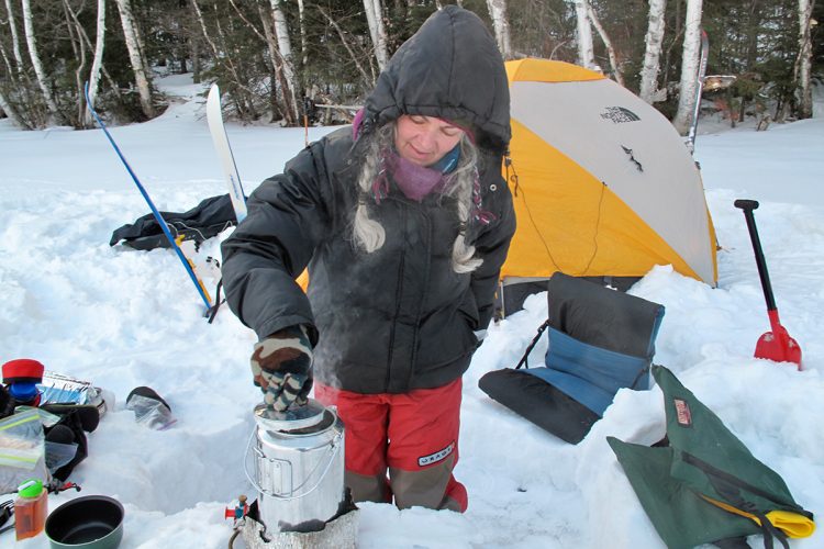
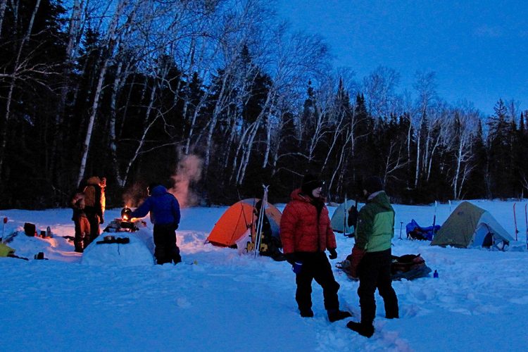
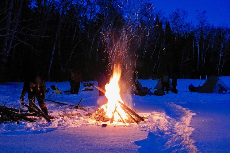
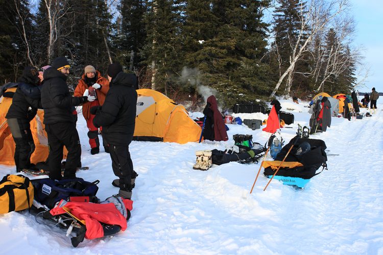
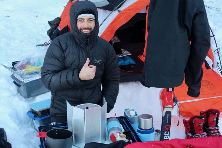
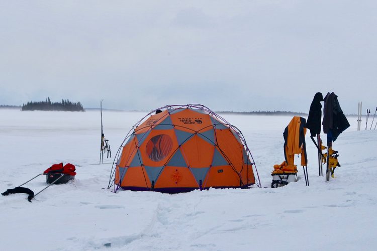
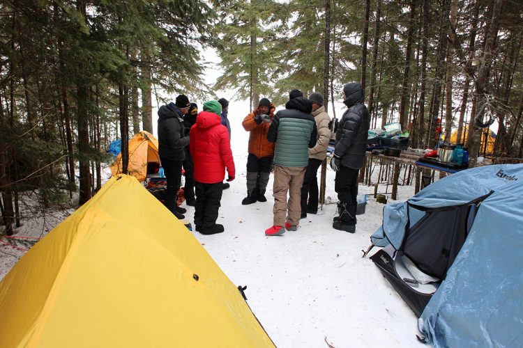
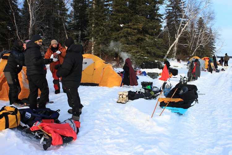
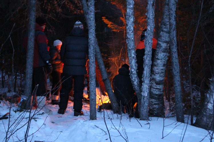
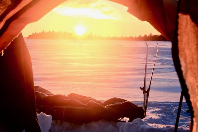
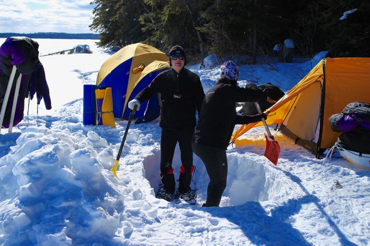
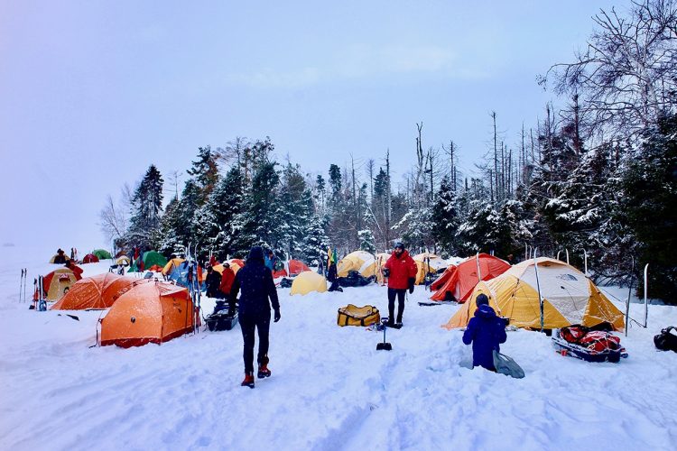
It is possible to mount a bivouac sheltered from the prevailing winds (North-West) in the hollow of an island or on the shore at approximately 8 kilometers along the route. Specific locations are suggested on the guide map and in the gpx file for GPS. It is possible to make a fire on the ice if you have difficulty fighting the cold. Make sure you have a small saw, a hatchet and matches and some fire starters.
It is possible without any guarantee to find some fishing cabins near the islands Poplar, Mistaken and near the eastern tip of Nepawa Island. The cabins are mostly locked.
Natural Environment
History
Lake Abitibi:
As early as the 17th century, this region was at the centre of the Franco-English rivalry for control of the fur trade. In 1686, the Chevalier de Troyes drove the English and the Hudson’s Bay Company from their military and commercial positions at Hudson’s Bay. He also built a fort on the eastern shore of Lake Abitibi, which remained active until the Conquest. The North West Company took over, followed by the Hudson’s Bay Company, which maintained a trading post there until 1922.
The forest industry will use Lake Abitibi for a long time as a log flotation and wood gathering point.
Geography
Lake Abitibi is a 931 km2 lake, located north of the Abitibi-Témiscamingue, straddling the Quebec-Ontario border. It has about 200 beaches and 900 islands in its shallow waters. The municipalities of roquemaure and Clerval are established on its shores.
Wildlife
On the Quebec side, protection is provided for several wildlife habitats, including a heronry, a bird colony, and a few areas where waterfowl congregate.
Flora
On the Ontario side, there is Abitibi-De Troyes Provincial Park, the provincial nature reserve of the islands of Lac Abitibi and the conservation reserve of Presqu'île de la Pointe McDougall.
Toponymy
The 1660 Jesuit Relation mentions the Outabitibek people. On his 1685 map, Hubert Jaillot refers to this body of water called Lac des Tabitibis, in its upper part, and Lac Piscoutagamy, in its lower section. It was not until 1915 that the spelling of the word Abitibi was definitively fixed, following a decision by the Commission de géographie which had to make its choice between this form and those of Abbitibi, Abitibbi and Abbitibbi
This sheet has been prepared from information provided by outdoor enthusiasts deemed sufficiently reliable and experienced. Errors or omissions are always possible and Tourisme Abitibi-Témiscamingue cannot accept responsibility for any problem or accident that may arise from this sheet or be attributed to its use. If you notice any errors or omissions during your expedition, we would be very grateful if you would let us know by email pleinair@atrat.org in order to keep our information up to date.
Ce fichier texte est en format GPX. Il contient les données de traces et de points de navigation (waypoints). Il peut être visualisé via un éditeur de texte. Téléchargez gratuitement le gratuiciel GPS Babel pour importer le fichier contenant les traces et les points de navigation dans votre GPS.
Dans la section INPUT, sélectionner « Fichier ». Dans la rubrique Format, à l’aide de la liste déroulante, « GPX XML ». Cliquer sur le bouton File Name(s) pour accéder au fichier GPX téléchargé dans l’ordinateur.
Dans la section Translation Options, sélectionner « Waypoints » et « Traces ».
Brancher le GPS à l’ordinateur à l’aide d’un câble USB.
Dans la section Sortie, sélectionnez « Périphérique ». Choisir le format correspondant à la marque du GPS. Dans la rubrique Nom de périphérique, sélectionner « usb : ».


 Optional bivouac
Bivouac Departure Point
48°52'23,416"N
Optional bivouac
Bivouac Departure Point
48°52'23,416"N Official bivouac
Bivouac avant Narrow
48°49'16,396"N
Official bivouac
Bivouac avant Narrow
48°49'16,396"N Danger: Flowing Water
Eau vive en amont du Narrow
48°46'49,059"N
Danger: Flowing Water
Eau vive en amont du Narrow
48°46'49,059"N Launching ramp
Rampe de mise à l'eau Clerval
48°43'10,837"N
Launching ramp
Rampe de mise à l'eau Clerval
48°43'10,837"N Parking
Stationnement Aréna Nicol Auto
48°47'46.3"N
Parking
Stationnement Aréna Nicol Auto
48°47'46.3"N Directions to the starting point
 View the route from your location on Google Map
 Shuttle Service
 Dangers
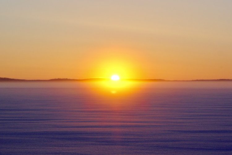
 Sunrise : 07:30