
Snowshoe trails - Parc de la Grotte
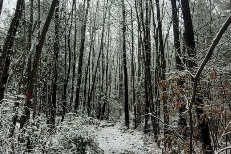
Snowshoe trails - Parc de la Grotte
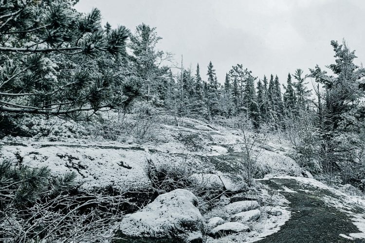
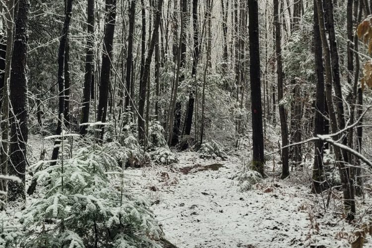
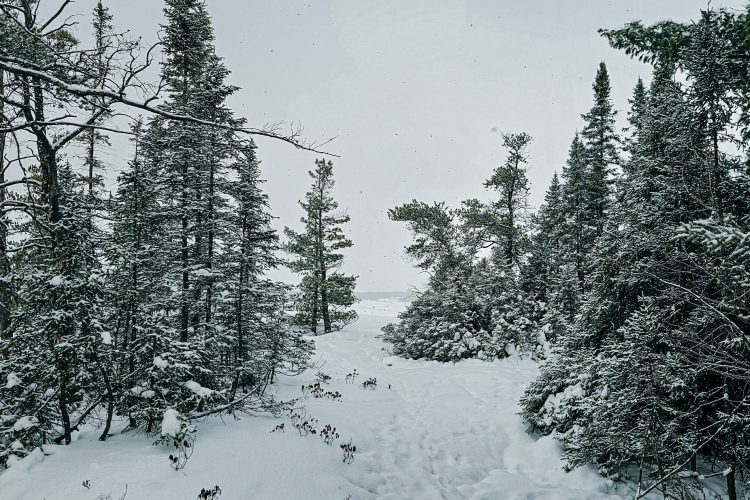
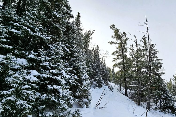
Ville-Marie, Témiscamingue
The town of Ville-Marie acquired this site in spring 2020. Since then, several steps have been taken to study the best ways of making this place accessible again to the population and in complete safety. The trails are available summer and winter for hiking and snowshoeing. The trails have been properly marked and identified since 2022. This site is in full development for years to come.
- electrocardiogram Easy to Moderate
- mountain 4.3 Km (Mixed)
- calendar seasonal
Sections
De la Tournée
- electrocardiogram Easy
- mountain 2.31 km (Linear)
Promenade du Chemin de Croix
- electrocardiogram Easy
- mountain 0.12 km (Linear)
De la Côte des Pères
- electrocardiogram Easy
- mountain 1.38 km (Linear)
Accès au stationnement de la rue Chartier
- electrocardiogram Easy
- mountain 0.16 km (Linear)
Points of service and interest
Category Name
-
 Parking
Stationnement principal de la rue Notre-Dame-de-Lourdes
47°20'07,084"N
Parking
Stationnement principal de la rue Notre-Dame-de-Lourdes
47°20'07,084"N
79°25'50,826"O -
Parking
Stationnement de la rue Chartier
47°19'59.0"N
79°25'51.9"O -
 Point of interest
Grotte de Ville-Marie
47°20'6,112"N
Point of interest
Grotte de Ville-Marie
47°20'6,112"N
79°25'50,329"O -
 Picnic table
Table de pique-niqueta
47°20'7,436"N
Picnic table
Table de pique-niqueta
47°20'7,436"N
79°25'50,866"O -
 Covered picnic table
Table à pique-nique du parc de la Grotte
47°20'8,066"N
Covered picnic table
Table à pique-nique du parc de la Grotte
47°20'8,066"N
79°25'51,657"O -
 Toilet
tes
47°20'4,985"N
Toilet
Toilettes
47°20'4,985"N
79°25'50,084"O
Comments social0
Tools ready to go
- mapsquare Download GPS track (GPX)
- Google driving directions
-
 Sunrise : 07:30
Sunset : 18:38 -
Equipment for rent Coop de l'Arrière-Pays
Info & advice
- Animation et interprétation
- Camping
- Care
- Carte et orientation
- Clothes
- Emergency
- Equipment
- Nutrition
- Prevention
- Training
Caution
This sheet has been prepared from information provided by outdoor enthusiasts deemed sufficiently reliable and experienced. Errors or omissions are always possible and Tourisme Abitibi-Témiscamingue cannot accept responsibility for any problem or accident that may arise from this sheet or be attributed to its use. If you notice any errors or omissions during your expedition, we would be very grateful if you would let us know by email pleinair@atrat.org in order to keep our information up to date.
