
3 lacs snowshoe trails
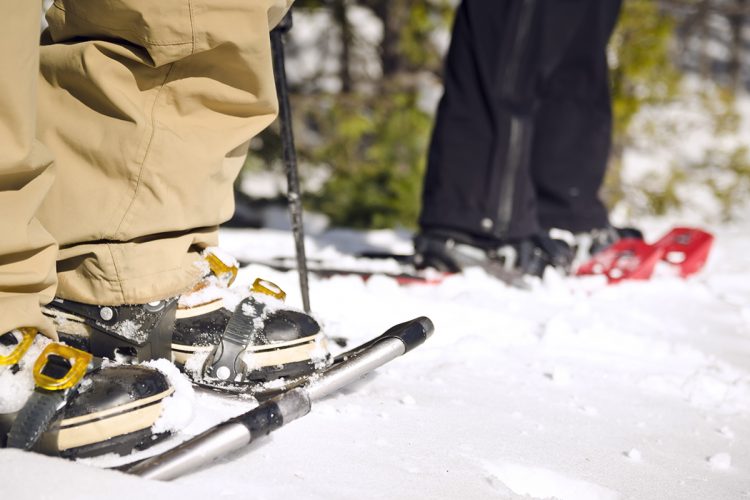
3 lacs snowshoe trails
Preissac, Amos Région
The trail is located at the highest point in the municipality of Preissac. You have access to breathtaking views of the lakes and surrounding hills. You pass near the lakes Preissac, Chassignol and Font bonne where you see the extent of the hudrographic network of the territory. A shelter where you can sleep is located at the end of the route.
- electrocardiogram Easy
- mountain 2.6 Km (Linear)
- calendar seasonal
Points of service and interest
 Refuge
Accessibility
Access Rights
Free, no reception infrastructure.
pets allowed.
Directions to the starting point
From Amos, follow road 395 south and pass the municipality of Preissac for almost 10 km.
From Val-d'Or, take Route 117 north and turn right onto Route 395. Pass the bridge and continue to almost 10 km before the municipality of Preissac.
From Rouyn-Noranda, take Route 117 South and turn left onto Route 395. Pass the bridge and continue to almost 10 km before the municipality of Preissac.
At this level, the road is called avenue du Lac. The trail is on the right, after the Pointe Road, in the peninsula of Preissac, Fontbonne and Chassignol lakes.
Parking: Free.
Position : 48°20'26.9"N 78°23'36.2"O
Contact
T 819 732-4938
Comments social0
Tools ready to go
Info & advice
- Animation et interprétation
- Camping
- Care
- Carte et orientation
- Clothes
- Emergency
- Equipment
- Nutrition
- Prevention
- Training
Caution
This sheet has been prepared from information provided by outdoor enthusiasts deemed sufficiently reliable and experienced. Errors or omissions are always possible and Tourisme Abitibi-Témiscamingue cannot accept responsibility for any problem or accident that may arise from this sheet or be attributed to its use. If you notice any errors or omissions during your expedition, we would be very grateful if you would let us know by email pleinair@atrat.org in order to keep our information up to date.