
Montagne à Fred Snowshoe trails
Montagne à Fred Snowshoe trails
Macamic (Colombourg), La Sarre et l'Abitibi-Ouest
Over 8,500 years ago, the mountain at Fred formed a small island in the former Ojibway-Barlow Sea that covered the territory. On this mound rich in history, you will walk on large rocky caps dotted with small gray pines. The trail also takes a fabulous "river of rocks". In the Ojibway Sea, large stones were transported to the island by ice in the winter, while in the summer, waves drove small rocks and sand off the island.
- electrocardiogram Easy to Moderate
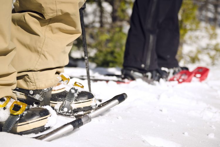
- mountain 4.7 Km (Mixed)
- calendar seasonal
Points of service and interest
 Parking
Accessibility
Access Rights
![]() Free, without visitor facilities.
Free, without visitor facilities.
![]() Pets are allowed.
Pets are allowed.
Directions to the starting point
From La Sarre, take the road 393 S and turn left on 2nd-3rd Rang towards Colombourg. In the village of Colombourg, turn right on Chemin Langlois and then left on Chemin du Petit un. Drive 1.7 km to reach the parking lot.
Parking: free, dry toilet.
Coordinates: 48°44'04.2"N 79°07'07.2"O
![]() View the route from your location on Google Map
View the route from your location on Google Map
Contact
Tom St-Pierre, Director of Recreation, Culture and Community Life T 819 782-4604 (ext. 275) tstpierre@villemacamic.qc.ca Facebook Website
Natural Environment
History
Over 8,500 years ago, Fred’s Mountain was a small island in the ancient Ojibway-Barlow Sea that covered the area. At that time, large stones were transported to the island by ice in winter, while in summer, the waves would push smaller rocks and sand off the island.
Toponymy
Fred Roy was the owner of the land on this mountain. He built a camp at the summit where he lived during the summer, taking advantage of the constant winds that kept the flies away! In winter, Fred Roy lived in a log cabin located at the base of the mountain. Later, he built himself a new home made of wood and cement.
Comments social0
Tools ready to go
Info & advice
- Animation et interprétation
- Camping
- Care
- Carte et orientation
- Clothes
- Emergency
- Equipment
- Nutrition
- Prevention
- Training
Caution
This sheet has been prepared from information provided by outdoor enthusiasts deemed sufficiently reliable and experienced. Errors or omissions are always possible and Tourisme Abitibi-Témiscamingue cannot accept responsibility for any problem or accident that may arise from this sheet or be attributed to its use. If you notice any errors or omissions during your expedition, we would be very grateful if you would let us know by email pleinair@atrat.org in order to keep our information up to date.