
Snowshoe trails in the Rollet recreational area
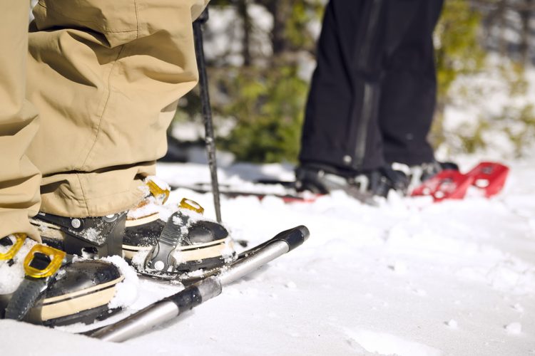
Snowshoe trails in the Rollet recreational area
Rouyn-Noranda (Rollet), Rouyn-Noranda
This enchanting site offers you, from the beginning, a relatively flat trail that becomes more hilly as you walk offering various forest landscapes including a small waterfall near the first refuge 2.6 km from the start (the trapper’s relay 1.5 km further). One section leads to Lake Trompeur (a refuge is planned for the future).
- electrocardiogram Easy
- mountain 7.4 Km (Mixed)
- calendar seasonal
Sections
Sentier Descente au Lac Gingras
- electrocardiogram Easy
- mountain 2.40 km (Linear)
Sentier La Boucle
- electrocardiogram Easy
- mountain 0.44 km (Linear)
Sentier Rollet
- electrocardiogram Easy
- mountain 5.14 km (Linear)
Lake Gingras Downhill Trail
- electrocardiogram Easy
- mountain 2.40 km (Linear)
Trail La Boucle
- electrocardiogram Easy
- mountain 0.44 km (Linear)
Trail Rollet
- electrocardiogram Easy
- mountain 5.14 km (Linear)
Points of service and interest
Category Name
-
 Parking
Stationnement du chemin Joli-B
47°58’0,128”N
Parking
Stationnement du chemin Joli-B
47°58’0,128”N
79°18’26,844”O -
 Refuge
 de la Cascade
47°58’55.29”N
Refuge
Refuge de la Cascade
47°58’55.29”N
79°18’54.891”O -
Refuge
Refuge du Trappeur
47°58’29.017”N
79°19’17.723”O -
 Point of interest
Plateau rocheux
47°58’41.446”N
Point of interest
Plateau rocheux
47°58’41.446”N
79°18’33.135”O -
 Fall / waterfall
Cascade
47°58’54.901”N
Fall / waterfall
Cascade
47°58’54.901”N
79°18’56.248”O -
 Toilet
te sèche sentier Rollet 1
47° 58.920'N
Toilet
Toilette sèche sentier Rollet 1
47° 58.920'N
79° 18.913'O -
Toilet
Toilette sèche Descente au Lac Gingras
47° 58.967'N
79° 20.188'O
Accessibility
Access Rights
 Free, no reception infrastructure .
Directions to the starting point
From Rouyn-Noranda, take Route 101 Sud (boulevard Rideau) towards Ville-Marie. 26.5 km past the fork for Route 117 North to Ontario, turn right onto Pontleroy Road (5 km before the village core of Rollet). Drive 2.7 km and turn right onto Joli-B road, the parking lot is 1.8 km just after the bridge on the right.
Parking : free. Position : 79°18'26,844"O | 47°58'0,128"N
Contact :
819 797-3195 | 1 888 797-3195 (tourist information office) | tourisme@cldrn.ca
Natural Environment
History
These trails are located in an area where the pioneer families of Rollet worked at the old sawmill.
Comments social0
Tools ready to go
- map Guide map (PDF)
- mapsquare Download GPS track (GPX)
- Google driving directions
-
 Sunrise : 07:29
Sunset : 18:36
Info & advice
- Animation et interprétation
- Camping
- Care
- Carte et orientation
- Clothes
- Emergency
- Equipment
- Nutrition
- Prevention
- Training
Caution
This sheet has been prepared from information provided by outdoor enthusiasts deemed sufficiently reliable and experienced. Errors or omissions are always possible and Tourisme Abitibi-Témiscamingue cannot accept responsibility for any problem or accident that may arise from this sheet or be attributed to its use. If you notice any errors or omissions during your expedition, we would be very grateful if you would let us know by email pleinair@atrat.org in order to keep our information up to date.
