
L'Entrevent Snowshoe trails
L'Entrevent Snowshoe trails
Laverlochère, Témiscamingue
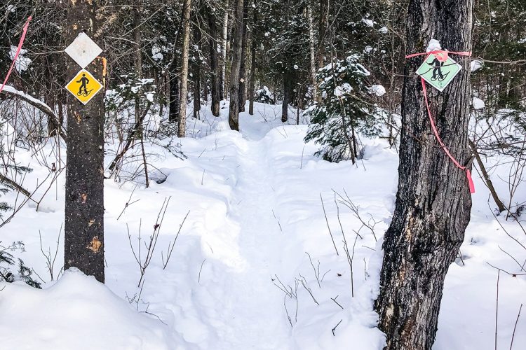
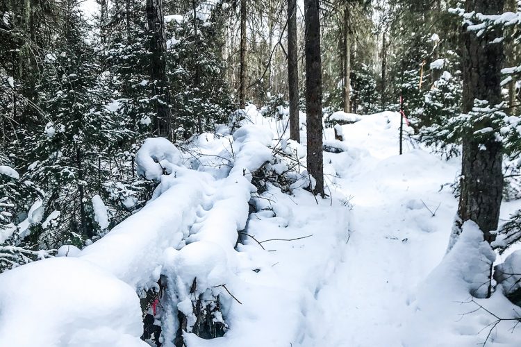
Crisscrossing a mixed forest, this network is composed of several short trails. It is possible to combine them for longer or shorter journeys. A large map is displayed at the entrance. Signs are made of carved and varnished wood.
- electrocardiogram Easy
- mountain 6.8 Km (Mixed)
Sections
Sentiers de raquette
- electrocardiogram Easy
- mountain 0.90 km (Linear)
D'Albert
- electrocardiogram Easy
- mountain 0.31 km (Linear)
Du Sapin
- electrocardiogram Easy
- mountain 0.45 km (Linear)
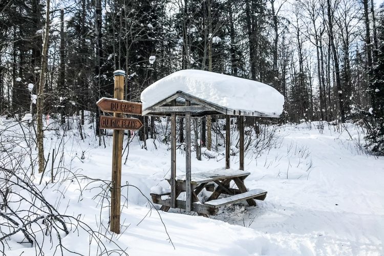
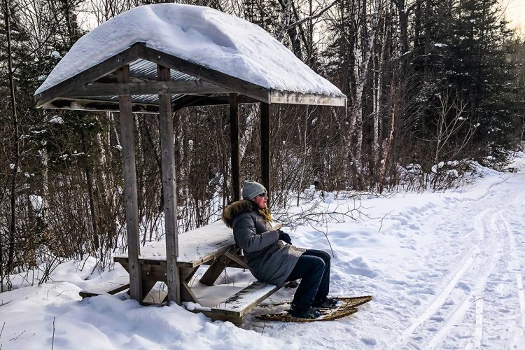
Du Camp
- electrocardiogram Easy
- mountain 0.82 km (Linear)
Du Mille
- electrocardiogram Easy
- mountain 1.01 km (Linear)
Du Pont
- electrocardiogram Easy
- mountain 0.25 km (Linear)
Des Oiseaux
- electrocardiogram Easy
- mountain 0.63 km (Linear)
De la Roche
- electrocardiogram Easy
- mountain 0.28 km (Linear)
Du Pin Blanc
- electrocardiogram Easy
- mountain 0.37 km (Linear)
La Grande Tournee
- electrocardiogram Easy
- mountain 1.67 km (Linear)
snowshoe trail
- electrocardiogram Easy
- mountain 0.90 km (Linear)
Points of service and interest
 Parking
Accessibility
Access Rights
 Free, without reception infrastructure.
![]() pets allowed.
pets allowed.
Directions to the starting point
From Ville-Marie, take Highway 382 east to Laverlochère. Turn right at the church and take 2nd street on your right. Continue to the end, parking.
![]() View the route from your location on Google Map
View the route from your location on Google Map
Contact
P 819 765-2772
Email : corpo_laverlochere@hotmail.ca
View the Website
Comments social0
Tools ready to go
- map Guide map (PDF)
- mapsquare Download GPS track (GPX)
- Google driving directions
-
 Sunrise : 07:29
Sunset : 18:37
Info & advice
- Animation et interprétation
- Camping
- Care
- Carte et orientation
- Clothes
- Emergency
- Equipment
- Nutrition
- Prevention
- Training
Caution
This sheet has been prepared from information provided by outdoor enthusiasts deemed sufficiently reliable and experienced. Errors or omissions are always possible and Tourisme Abitibi-Témiscamingue cannot accept responsibility for any problem or accident that may arise from this sheet or be attributed to its use. If you notice any errors or omissions during your expedition, we would be very grateful if you would let us know by email pleinair@atrat.org in order to keep our information up to date.
