
Snowshoeing trails of the D'Alembert hills
Snowshoeing trails of the D'Alembert hills
Rouyn-Noranda (D'Alembert), Rouyn-Noranda
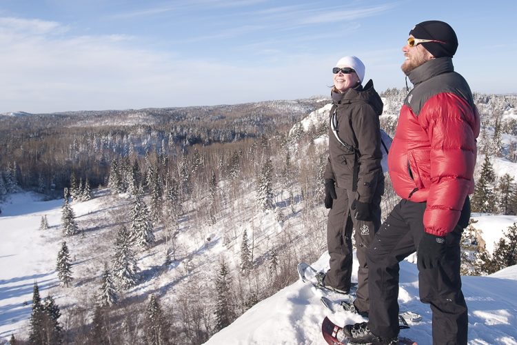
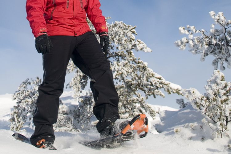
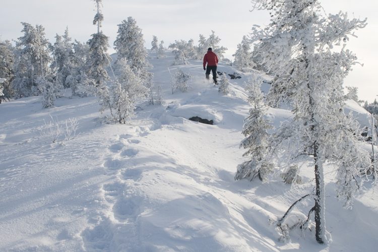
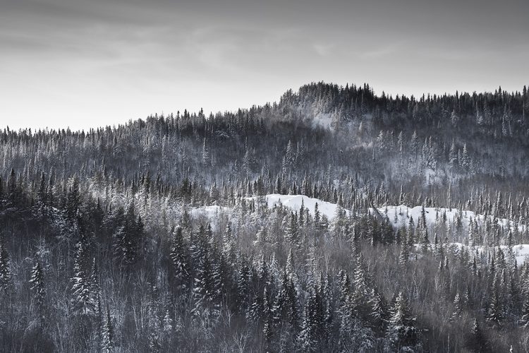
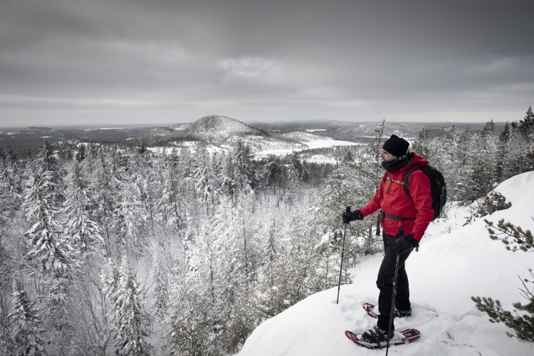
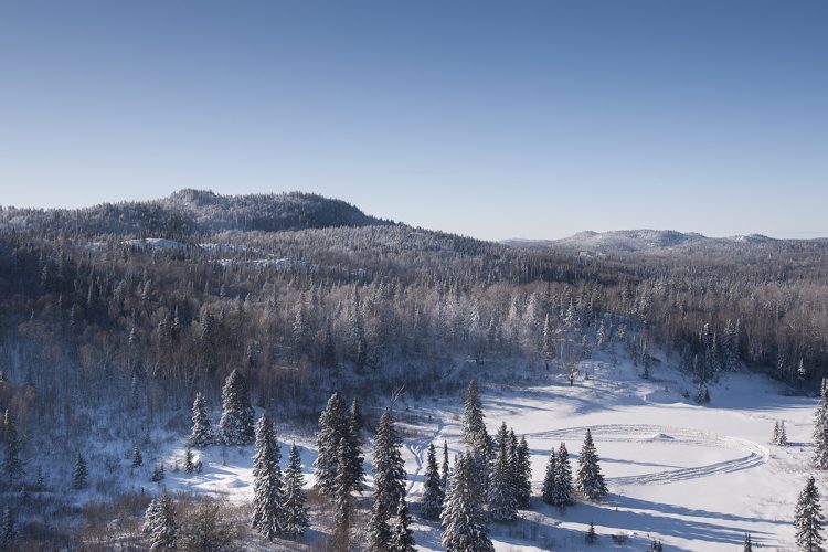
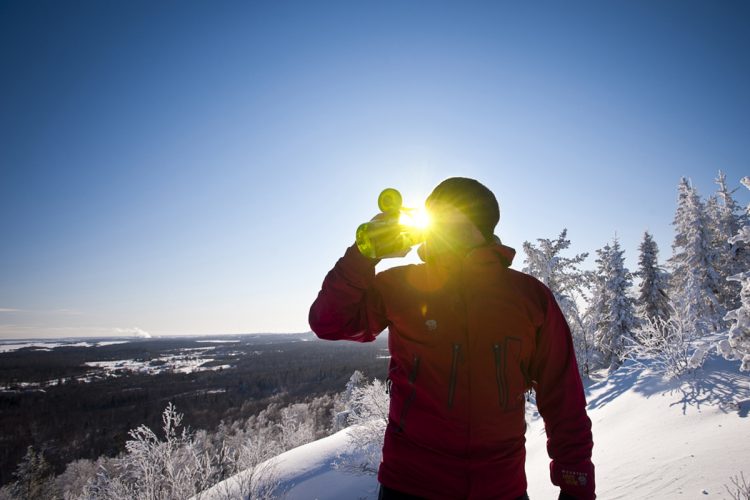
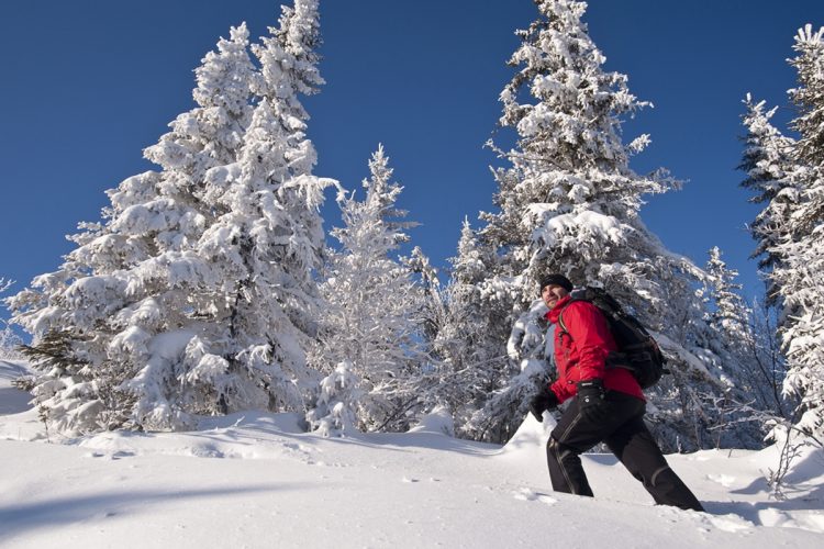
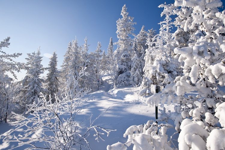
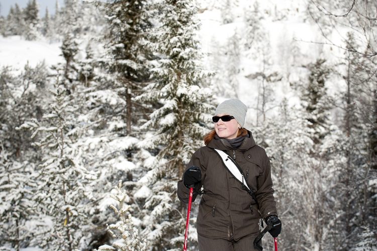
In the heart of the D'Alembert district in Rouyn-Noranda, the hills are criss-crossed by paths that lead to different viewpoints embracing the region. The terrain is dotted with rocky escarpments and watercourses. Along the way, you will observe interesting geological formations such as volcanic cushions and quartz veins. Interpretive panels provide explanations on the ecological, faunal and geological aspects of the hills. Inukshuks as landmarks decorate this favourite place.
- electrocardiogram Easy to Demanding
- mountain 7.7 Km (Mixed)
- calendar seasonal
Sections
Les Mésanges
- electrocardiogram Easy
- mountain 0.46 km (Mixed)
Access : By the parking lot
La Veine de Quartz
- electrocardiogram Easy
- mountain 0.06 km (Linear)
Access : By the Les Mésanges trail
La Griffe
- electrocardiogram Moderate
- mountain 1.37 km (Mixed)
Access : By the trails Les Mésanges and Les Grottes
Retour à la Montagne
- electrocardiogram Easy
- mountain 0.20 km (Linear)
Access : On the La Griffe trail
Des Grottes
- electrocardiogram Moderate
- mountain 1.40 km (Linear)
Access : Through the trails La Griffe and Les Castors
Interest : Several small caves, volcanic cushion, stone-looking character
Les Pics
- electrocardiogram Demanding
- mountain 0.79 km (Linear)
Les Castors
- electrocardiogram Moderate
- mountain 1.28 km (Linear)
Access : By the Les Grottes trail
Interest : Beaver habitats are widespread.
Sortie de secours
- electrocardiogram Moderate
- mountain 0.55 km (Linear)
Access : Escape route to Highway 101
Points of service and interest
Category Name
-
 Parking
Stationnement de Collines D
48°21'44,137"N
Parking
Stationnement de Collines D
48°21'44,137"N
79°1'18,114"O -
 Point of interest
Pont du sentier Les Mésanges
48°21'43,286"N
Point of interest
Pont du sentier Les Mésanges
48°21'43,286"N
79°1'22,123"O -
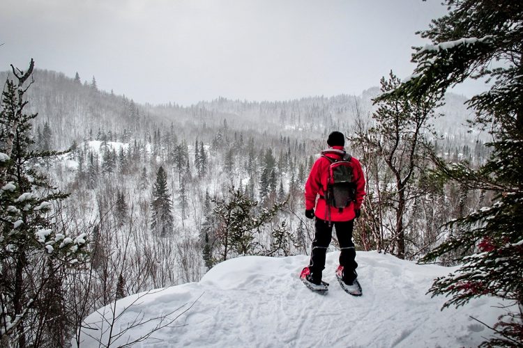
 Panorama
Vue panoramique
48°21'30,122"N
Panorama
Vue panoramique
48°21'30,122"N
79°1'49,188"O -
Panorama
Vue panoramique du sentier Les Grottes
48°21'15,209"N
79°1'57,134"O -
Panorama
Vue panoramique du sentier Les Pics
48°21'17,838"N
79°2'44,806"O
Accessibility
Access Rights
Free, with no reception infrastructure.
Pets allowed.
Directions to the starting point
From Rouyn-Noranda, take Route 101 Nord for 15 km towards the D'Alembert district. 100 m after the intersection of the Cléricy road, turn left (west) onto Harrisson Street. Drive 500 m to the sign.
Outdoor parking: free.
Position : 79°1'18,817"O 48°21'44,547"N
Beaconing
Map at intersections, small red and blue signs, ribbons and paint. In the mountains, arrows and inoukchouks indicate the way to go.
Contact
D'Alembert Sports Association
5087 Saguenay Street, Rouyn-Noranda, Quebec, J9Y 0B1
T 819 797-0007 or 819 797-7111
Email : info@collinesdalembert.org
Specifications
- Presence of interpretive panels on the fauna and flora scattered along the trails.
Natural Environment
Geography
Landscapes of plain and with varied geological forms (volcanic cushion, quartz vein, fault, rock slides).
Wildlife
Beaver habitats are widespread.
Comments social0
Tools ready to go
- map Guide map (PDF)
- mapsquare Download GPS track (GPX)
- Google driving directions
-
 Sunrise : 07:20
Sunset : 18:47 -
Equipment for rent RécréOsisko
Info & advice
- Animation et interprétation
- Camping
- Care
- Carte et orientation
- Clothes
- Emergency
- Equipment
- Nutrition
- Prevention
- Training
Caution
This sheet has been prepared from information provided by outdoor enthusiasts deemed sufficiently reliable and experienced. Errors or omissions are always possible and Tourisme Abitibi-Témiscamingue cannot accept responsibility for any problem or accident that may arise from this sheet or be attributed to its use. If you notice any errors or omissions during your expedition, we would be very grateful if you would let us know by email pleinair@atrat.org in order to keep our information up to date.
