
Beauchastel Lake Snowshoeing Trails
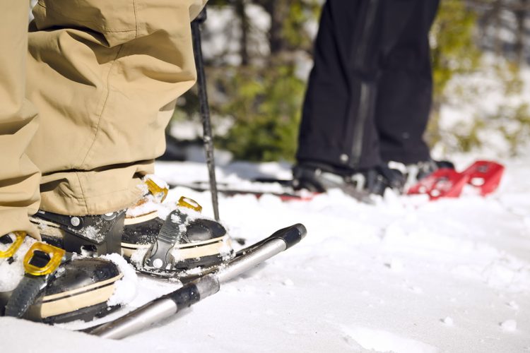
Beauchastel Lake Snowshoeing Trails
Rouyn-Noranda (Beaudry), Rouyn-Noranda
The La Randonne-Rit trail forms a horseshoe with a central path allowing you to make a short or long hike depending on the time you have. With its relatively flat terrain and theme parks, the trail is ideal for families who want to start hiking with their children. Two belvederes on rocky buttons offer unique panoramas on the Kekéko hills. Overlooking Lake Beauchastel, the trail will amaze you with its breathtaking views of nature.
- electrocardiogram Easy to Moderate
- mountain 4 Km (Loop)
- calendar seasonal
Sections
Connexions
- electrocardiogram Easy
- mountain 0.30 km (Linear)
Des Trois Parcs
- electrocardiogram Easy
- mountain 1.58 km (Linear)
Du Zoo
- electrocardiogram Easy
- mountain 1.82 km (Linear)
De la Traverse
- electrocardiogram Easy
- mountain 1.43 km (Linear)
Des Belvédères
- electrocardiogram Easy
- mountain 2.14 km (Linear)
Du Panorama
- electrocardiogram Easy
- mountain 0.12 km (Linear)
Connections
- electrocardiogram Easy
- mountain 0.30 km (Linear)
Points of service and interest
Category Name
-
 Bench
Bancba
48°9'2,434"N
Bench
Bancba
48°9'2,434"N
79°8'50,858"O -
Bench
BancB
48°8'55,946"N
79°8'22,415"O -
Bench
Banc
48°8'59,768"N
79°7'54,56"O -
 Belvedere
Belvédère
48°9'11,097"N
Belvedere
Belvédère
48°9'11,097"N
79°8'42,532"O -
Belvedere
Belvédère
48°9'15,614"N
79°8'31,647"O -
 Parking
Stationnement de la Randonne-Rit
48°08'54.7"N
Parking
Stationnement de la Randonne-Rit
48°08'54.7"N
79°08'52.1"O -
 Sandy beach / Swimming
Plage de la Randonne-Rit
48°8'53,964"N
Sandy beach / Swimming
Plage de la Randonne-Rit
48°8'53,964"N
79°7'51,377"O -
 Wild camping
Camping sauvage de la Randonne-Rit
48°9'12,475"N
Wild camping
Camping sauvage de la Randonne-Rit
48°9'12,475"N
79°8'36,127"O -
 Covered picnic table
Table à pique-nique couverteta
48°08'54.0"N
Covered picnic table
Table à pique-nique couverteta
48°08'54.0"N
79°08'51.8"O -
 Picnic table
Table de pique-niqueta
48°14'32,321"N
Picnic table
Table de pique-niqueta
48°14'32,321"N
79°2'46,381"O -
Picnic table
Table de pique-nique
48°8'57,127"N
79°7'53,039"O -
 Point of interest
Parc des Mésanges
48°8'54,176"N
Point of interest
Parc des Mésanges
48°8'54,176"N
79°8'41,782"O -
Point of interest
Parc des Pas Perdus
48°8'54,649"N
79°8'38,117"O -
Point of interest
Parc Le Zooi
48°8'51,858"N
79°8'12,802"O -
Point of interest
Parc Le Zoo d
48°8'58,153"N
79°8'39,771"O
Accessibility
Access Rights
 Free, no reception infrastructure.
 ![]() dogs are welcome.
dogs are welcome.
Directions to the starting point
From Rouyn-Noranda, take route 391 South (boulevard Témiscamingue) towards the Beaudry district. 14 km from Avenue Québec, a small parking lot on the left, 300 meters after passing Rang de la Carrière just after a small hill in a bend.
Parking : free
Beaconing
Yellow and orange ribbons indicate the way forward.
Contact
T 819 797-3195 loisirsdebeaudry@hotmail.com
Specifications
2 gazebos
8 rest areas
Small campsite near the lake, room for a tent (wild camping)
4 small parks
- Chickadees parks: there are many birds in winter
- Parks of lost steps: Place for children, play box, books for children (exchange principle one takes one we give one )
- The Zoo: Animals carved in wood by a local gentleman
- The Oasis: quieter place, ideal for adults, for rest, books available
Comments social0
Tools ready to go
- map Guide map (PDF)
- mapsquare Download GPS track (GPX)
- Google driving directions
-
 Sunrise : 07:20
Sunset : 18:47 -
Equipment for rent RécréOsisko
Info & advice
- Animation et interprétation
- Camping
- Care
- Carte et orientation
- Clothes
- Emergency
- Equipment
- Nutrition
- Prevention
- Training
Caution
This sheet has been prepared from information provided by outdoor enthusiasts deemed sufficiently reliable and experienced. Errors or omissions are always possible and Tourisme Abitibi-Témiscamingue cannot accept responsibility for any problem or accident that may arise from this sheet or be attributed to its use. If you notice any errors or omissions during your expedition, we would be very grateful if you would let us know by email pleinair@atrat.org in order to keep our information up to date.
