
Snowshoeing trails and observation post of Grand Héron
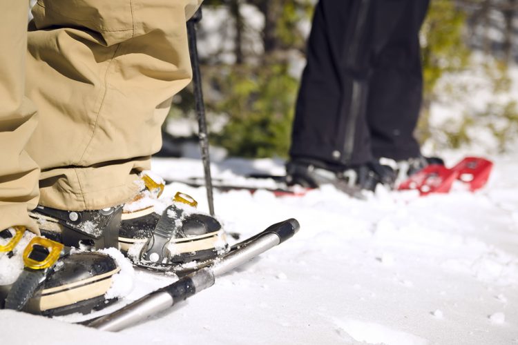
Snowshoeing trails and observation post of Grand Héron
Macamic, La Sarre et l'Abitibi-Ouest
The route of hikers
The hike begins with an old forest path through a mixed forest. Climbing up the hill, trees are gradually replaced by snow-covered rock outcrops. A 10 m high observation tower and lookout located at the top of the hill offer views of the islands of Lake Macamic and the surrounding area. The course is decorated with 13 interpretive panels dealing with fauna and flora.
- electrocardiogram Easy
- mountain 2 Km (Mixed)
- calendar seasonal
Sections
Le Grand Héron - Boucle
- electrocardiogram Easy
- mountain 0.95 km (Linear)
Le Grand Héron - Entrée
- electrocardiogram Easy
- mountain 0.19 km (Linear)
Le Grand Héron - Lac
- electrocardiogram Easy
- mountain 0.35 km (Linear)
The Great Heron - Entrance
- electrocardiogram Easy
- mountain 0.19 km (Linear)
The Great Heron - Loop
- electrocardiogram Easy
- mountain 0.95 km (Loop)
The Great Heron - Lake
- electrocardiogram Easy
- mountain 0.35 km (Linear)
Interest : Observation tower, interpretive panels, picnic tables, panoramic view of Lake Macamic and its island at the Grands Hérons
Points of service and interest
Category Name
 Parking
 Observation tower
 Picnic table
Accessibility
Access Rights
 Free, with no reception infrastructure.
![]() Pets are allowed.
Pets are allowed.
Directions to the starting point
From La Sarre, go south on Highway 393. Turn left on Highway 111 South (10.9 km). Turn left onto Macamic-Chazel road (3.2 km). Turn right on 6th and 7th East Row (4.3 km). Turn right onto the Chemin du lac de Courval (1.5 km). The destination is directly ahead.
From Amos, take Highway 111 North to Macamic (76 km). After 5 km past Macamic, turn right on the road to Macamic-Chazel (3.2 km). Turn right on 6th and 7th East (4.3 km). Turn right onto Courval Lake Road (1.5 km). The destination is directly ahead.
From Rouyn-Noranda, take Highway 101 North to Macamic (64 km). At Macamic, turn left onto Highway 111 North (5 KM). Turn right onto Macamic-Chazel road (3.2 km). Turn right on 6th and 7th East Row (4.3 km). Turn right onto the Chemin du lac de Courval (1.5 km). The destination is directly ahead.
Parking : free.
Position : 48°49'21.0"N 78°59'43.4"O
![]() View the route from your location on Google Map
View the route from your location on Google Map
Contact
P 819 782-4604 porte 225 Email : mguillemette.macamic@mrcao.qc.ca
Specifications
- Altitude difference: maximum of 50 km
Comments social0
Tools ready to go
Info & advice
- Animation et interprétation
- Camping
- Care
- Carte et orientation
- Clothes
- Emergency
- Equipment
- Nutrition
- Prevention
- Training
Caution
This sheet has been prepared from information provided by outdoor enthusiasts deemed sufficiently reliable and experienced. Errors or omissions are always possible and Tourisme Abitibi-Témiscamingue cannot accept responsibility for any problem or accident that may arise from this sheet or be attributed to its use. If you notice any errors or omissions during your expedition, we would be very grateful if you would let us know by email pleinair@atrat.org in order to keep our information up to date.
