
Jean-Guy Ledoux Snowshoe trails
Jean-Guy Ledoux Snowshoe trails
Normétal, La Sarre et l'Abitibi-Ouest
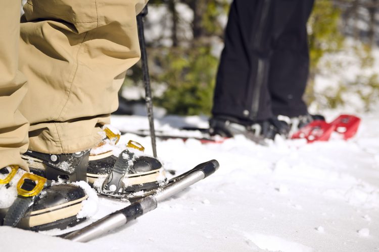
The Jean-Guy Ledoux trails are popular and loved by the population. This place allows you to indulge in the joys of winter by practicing walking, cross-country skiing and sliding sports while admiring the beauty of nature.
![]()
- electrocardiogram Easy
- mountain 4.5 Km (Mixed)
- calendar seasonal
Sections
Sentier-Pie Bavarde
- electrocardiogram Easy
- mountain 0.52 km (Linear)
Sentier-Harfang Des Neiges
- electrocardiogram Easy
- mountain 1.46 km (Linear)
Sentier-Jaseur Boréal
- electrocardiogram Easy
- mountain 0.23 km (Linear)
Sentier-Le Grand Pic
- electrocardiogram Easy
- mountain 0.45 km (Linear)
Sentier-Mésange
- electrocardiogram Easy
- mountain 0.50 km (Linear)
Sentier-Perdrix
- electrocardiogram Easy
- mountain 0.88 km (Linear)
Sentier-Tourterelle
- electrocardiogram Easy
- mountain 0.50 km (Linear)
Points of service and interest
Category Name
 Parking
Accessibility
Access Rights
![]() Free, no visitor facilities.
Free, no visitor facilities.
Comments social0
Tools ready to go
- map Guide map (PDF)
- mapsquare Download GPS track (GPX)
- Google driving directions
-
 Sunrise : 08:02
Sunset : 16:20
Info & advice
- Animation et interprétation
- Camping
- Care
- Carte et orientation
- Clothes
- Emergency
- Equipment
- Nutrition
- Prevention
- Training
Caution
This sheet has been prepared from information provided by outdoor enthusiasts deemed sufficiently reliable and experienced. Errors or omissions are always possible and Tourisme Abitibi-Témiscamingue cannot accept responsibility for any problem or accident that may arise from this sheet or be attributed to its use. If you notice any errors or omissions during your expedition, we would be very grateful if you would let us know by email pleinair@atrat.org in order to keep our information up to date.
