
Pointe-aux-Roches snowshoes trails
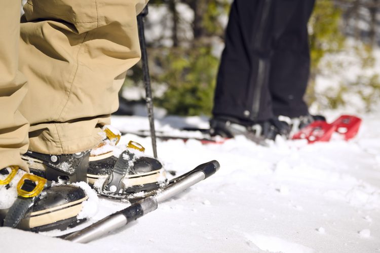
Pointe-aux-Roches snowshoes trails
Latulipe, Témiscamingue
The snowshoe trails of Pointe-aux-Roches have more than 10 kilometres of slopes.
Located a few minutes from the municipality of Latulipe, in mountainous terrain, they overlook the spectacular lake of the Fifteen on 3 cardinal points and lead to five viewpoints.
Come and soak up this beautiful wilderness by walking along these paths rich in fauna and flora and well Temiscamian flora.
- electrocardiogram Easy to Demanding
- mountain 10 Km (Mixed)
- calendar seasonal
Sections
La Forêt
- electrocardiogram Easy
- mountain 1.17 km (Linear)
Access : Through the parking lot
La Traversée
- electrocardiogram Moderate
- mountain 2.36 km (Linear)
Access : Through the parking lot.
Interest : Panoramic view at the point of the trail.
Le Sommet
- electrocardiogram Demanding
- mountain 0.48 km (Linear)
Access : Through the trail La Traversée.
Interest : Panoramic view.
La Grande Virée
- electrocardiogram Moderate
- mountain 4.26 km (Linear)
Access : Through the trail La Forêt.
Interest : Access to the lake, many views on the water, dry toilet.
La Pointe Panoramique
- electrocardiogram Demanding
- mountain 1.13 km (Linear)
Access : Through the trail La Grande Virée.
Interest : Panoramic view of the Lac des Quinze.
Les Panoramas Arsenault
- electrocardiogram Easy
- mountain 0.43 km (Linear)
Access : By the path La Grande Virée.
Interest : Two panoramic views of Arsenault Bay.
Points of service and interest
Category Name
-
 Parking
Stationnement des sentiers de la Pointe-aux-Roches
47°28'17,764"N
Parking
Stationnement des sentiers de la Pointe-aux-Roches
47°28'17,764"N
79°3'55,843"O -
 Bridge
Pont de bois du sentier de la Pointe-aux-Roches
47°28'42,377"N
Bridge
Pont de bois du sentier de la Pointe-aux-Roches
47°28'42,377"N
79°5'3,703"O -
 Sandy beach / Swimming
Plage du sable du sentier de la Pointe-aux-Roches
47°28'36.8"N
Sandy beach / Swimming
Plage du sable du sentier de la Pointe-aux-Roches
47°28'36.8"N
79°05'09.3"O -
 Panorama
Vue panoramique de la Baie Arsenault
47°29'16,069"N
Panorama
Vue panoramique de la Baie Arsenault
47°29'16,069"N
79°4'14,312"O -
Panorama
Vue panoramique de la Baie Arsenault
47°29'9,486"N
79°4'11,141"O -
Panorama
Vue panoramique sur le lac des Quinze
47°29'16,94"N
79°4'22,642"O -
Panorama
Vue panoramique sur le lac des Quinze
47°29'28,446"N
79°4'47,129"O -
Panorama
Vue panoramique sur le lac des Quinze
47°28'50,170"N
79°5'5,824"O -
Panorama
Vue panoramique sur le lac des Quinze
47°28'49,418"N
79°4'51,337"O -
 Covered picnic table
Table de pique-nique couverte
47°29'0,834"N
Covered picnic table
Table de pique-nique couverte
47°29'0,834"N
79°4'36,019"O -
 Toilet
te sèche
47°28'17,638"N
Toilet
Toilette sèche
47°28'17,638"N
79°3'56,581"O -
Toilet
Toilette sèche
47°29'1,705"N
79°4'35,548"O -
Toilet
Toilette sèche
47°28'31,112"N
79°5'10,849"O -
 Paid wild camping
Camping rustique Pointe-aux-Roches
47°28'30.4"N
Paid wild camping
Camping rustique Pointe-aux-Roches
47°28'30.4"N
79°05'11.7"O
Accessibility
Access Rights
 Free, no reception infrastructure .
![]() Pets allowed.
Pets allowed.
Directions to the starting point
From Latulipe, take the 5th and 6th Concession road north and turn left at the intersection. At the end of the road, turn right onto 10th Concession road. Parking is located at the end of the road.
Parking : free outside.
Position : 47°28'10.2"N 79°03'56.2"O
Address: 10e Rang, Latulipe, Quebec
![]() View the route from your location on Google Map
View the route from your location on Google Map
Contact
10e Rang, Latulipe, Québec T 819 747-4281
Email : pointe.aux.roches@gmail.com
Comments social0
Tools ready to go
- map Guide map (PDF)
- mapsquare Download GPS track (GPX)
- Google driving directions
-
 Sunrise : 07:29
Sunset : 18:37
- pdf Planification Randonnee Apa
- pdf Equipement Raquette
- pdf Trousse Raquette
- pdf Systemes Communications
- pdf Sans Trace Apa
Info & advice
- Animation et interprétation
- Camping
- Care
- Carte et orientation
- Clothes
- Emergency
- Equipment
- Nutrition
- Prevention
- Training
Caution
This sheet has been prepared from information provided by outdoor enthusiasts deemed sufficiently reliable and experienced. Errors or omissions are always possible and Tourisme Abitibi-Témiscamingue cannot accept responsibility for any problem or accident that may arise from this sheet or be attributed to its use. If you notice any errors or omissions during your expedition, we would be very grateful if you would let us know by email pleinair@atrat.org in order to keep our information up to date.
