
Cycling Path of Piste 4 saisons Agnico Eagle
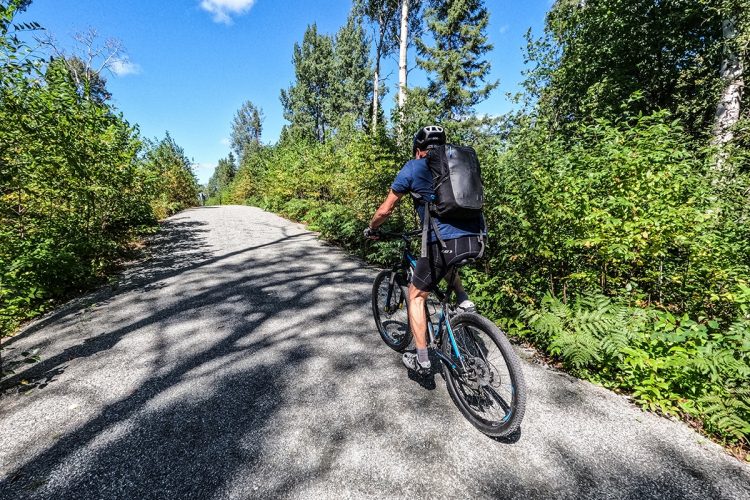
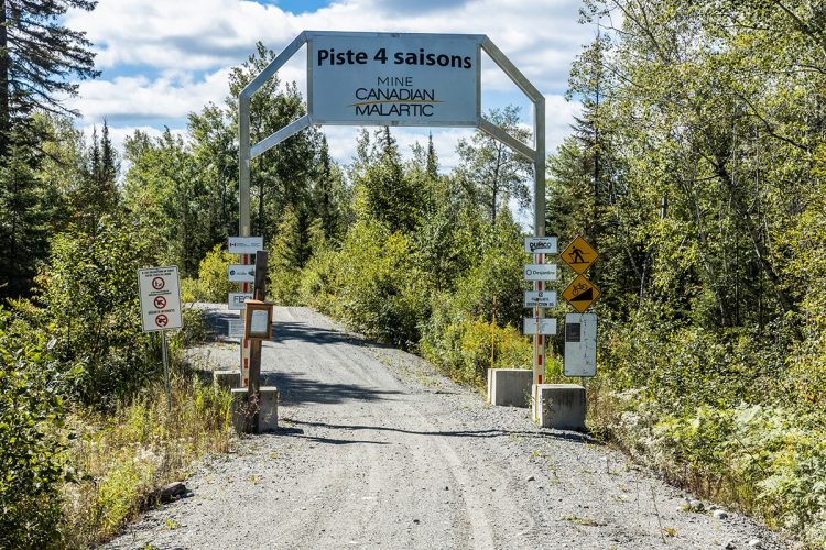

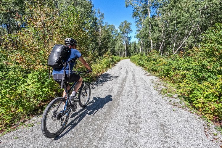
Cycling Path of Piste 4 saisons Agnico Eagle
Malartic, Vallée-de-l'Or
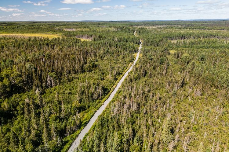
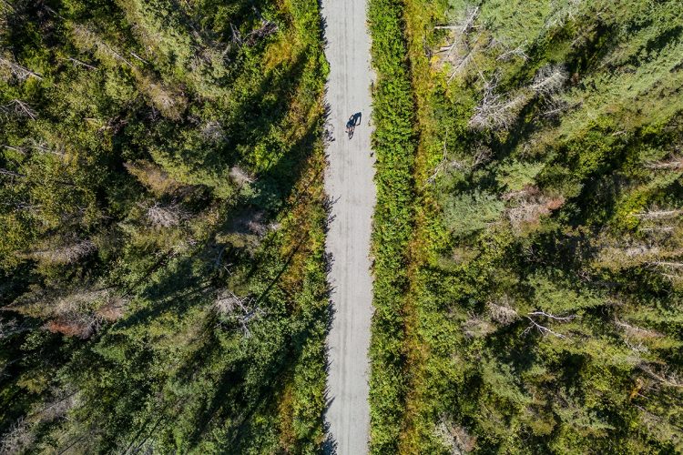
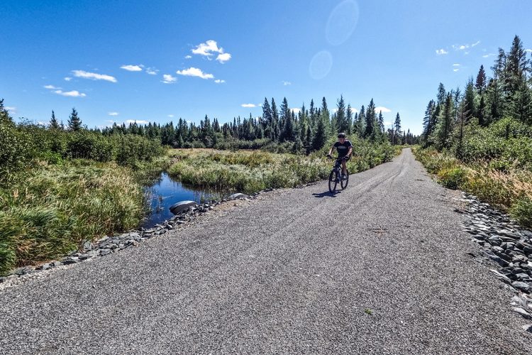
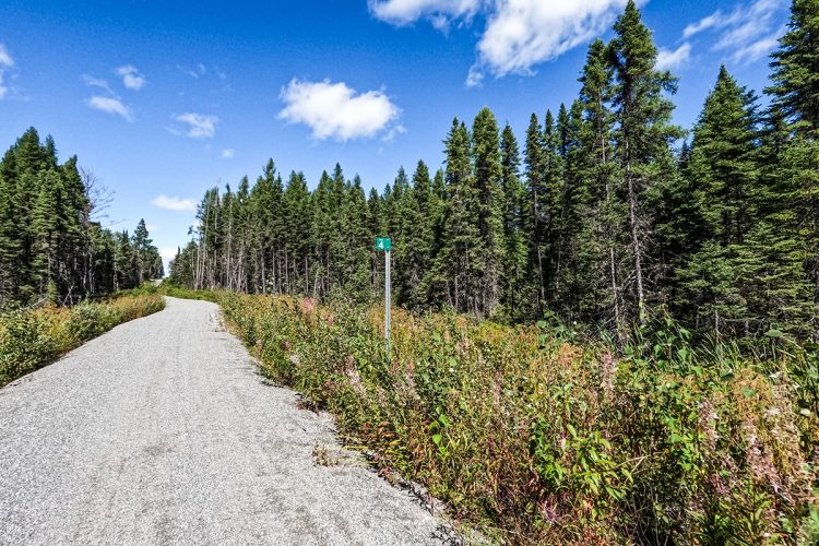
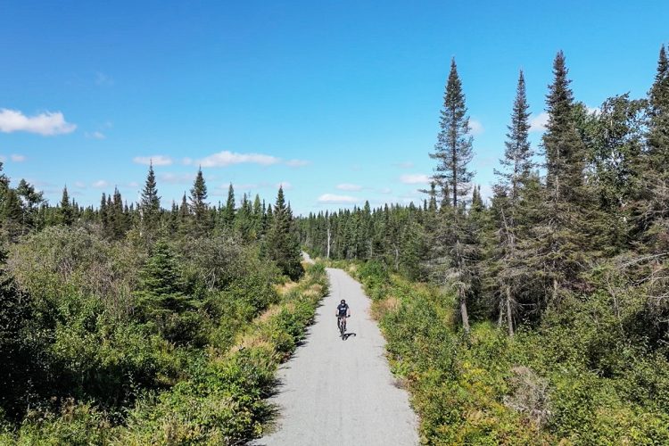
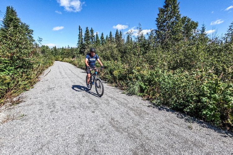
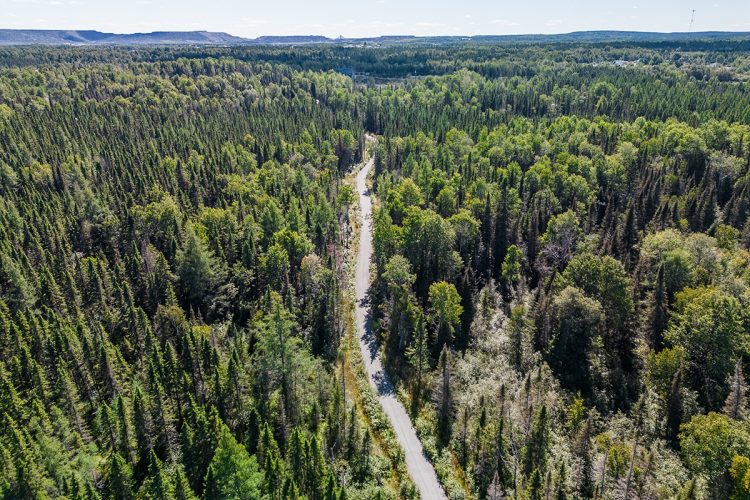
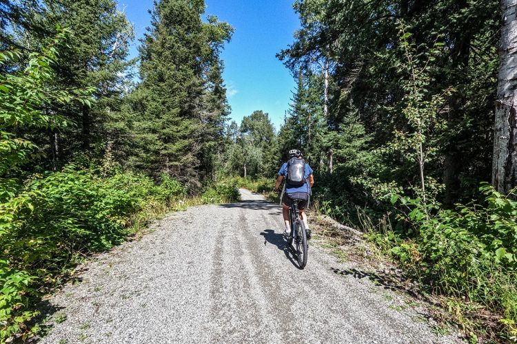
Multifunctional trail, located between the two municipalities of Malartic and Rivière-Héva.
- electrocardiogram Easy
- mountain 6.3 Km (Linear)
- calendar seasonal
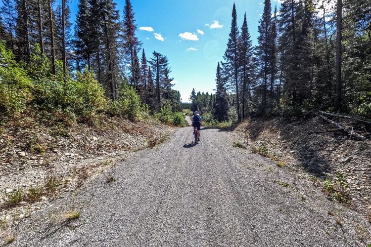
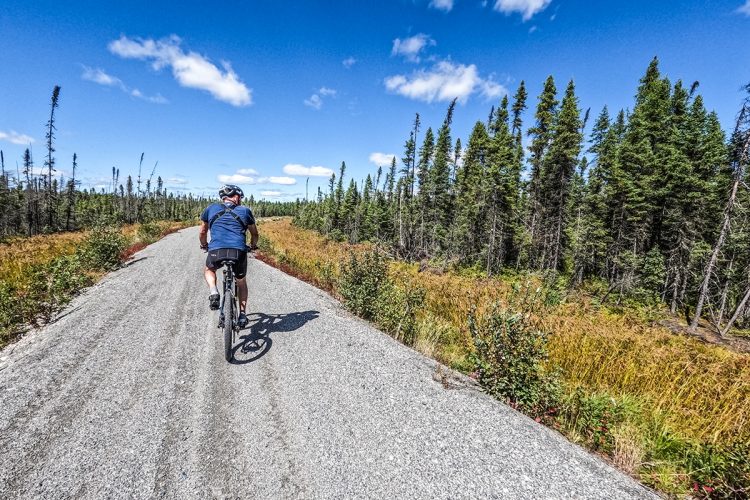
Sections
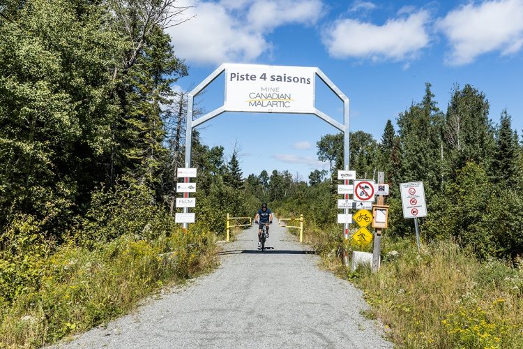
Piste 4 Saisons Agnico Eagle
- electrocardiogram Easy
- mountain 6.31 km (Linear)
Chemin de la Tour
- electrocardiogram Easy
- mountain 0.66 km (Linear)
Points of service and interest
Category Name
-
 Parking
Stationnement de l'arche de Malartic
48°8'52,85"N
Parking
Stationnement de l'arche de Malartic
48°8'52,85"N
78°6'50,278"O -
 Point of interest
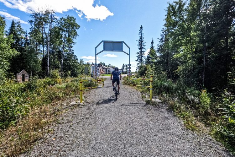
Arche Malartic
48°8'53,509"N
Point of interest
Arche Malartic
48°8'53,509"N
78°6'50,717"O -
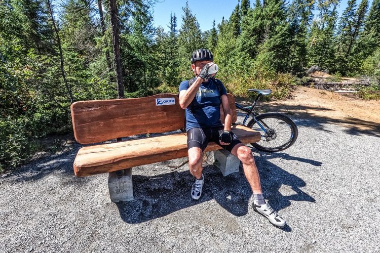
 Bench
Banc
48°8'52,804"N
Bench
Banc
48°8'52,804"N
78°6'50,857"O -
Bench
Banc
48°9'11,7"N
78°7'10,038"O -
Bench
Banc
48°10'5,495"N
78°6'57,593"O -
Bench
Abri avec bancs
48°10'29,202"N
78°7'5,036"O -
Bench
Banc
48°11'0,046"N
78°7'17,051"O -
Bench
Banc
48°11'58,06"N
78°7'18,326"O -
Point of interest
Arche de Rivière-Héva
48°11'57,988"N
78°7'19,517"O -
Parking
Stationnement de l'arche de Rivière-Héva
48°11'59,701"N
78°7'19,175"O
Accessibility
Access Rights
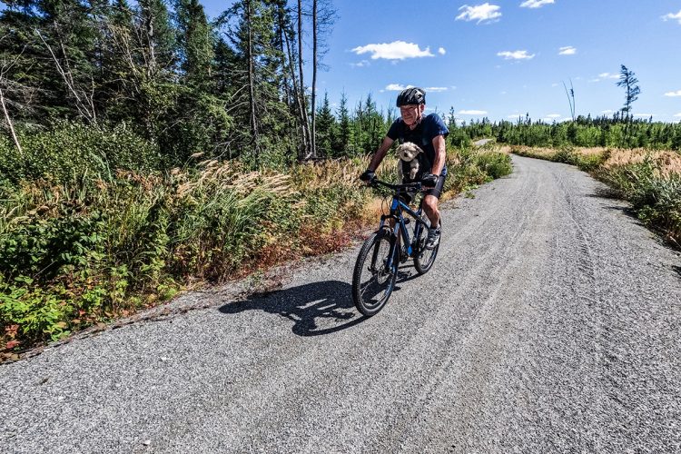
 Free, no visitors center.
 ![]() Dogs are welcome.
Dogs are welcome.
Directions to the starting point
Malartic: From 10th Avenue.
Rivière-Héva: On the way to Lake Malartic.
Specifications
Covering: Stone dust
Comments social0
Tools ready to go
Info & advice
- Animation et interprétation
- Camping
- Care
- Carte et orientation
- Caution
- Classification
- Emergency
- Equipment
- Nutrition
-
Prevention
- 10 articles de première nécessité
- Bien s'hydrater
- Comment lire la météo dans les nuages? Faire la pluie et le beau temps !
- Éviter les ampoules aux pieds
- Éviter les mauvaises rencontres en milieu sauvage
- Feu de camp sécuritaire : trois étapes à respecter
- Insectifuges
- LA PRÉPARATION DU CYCLISTE : PORT DU CASQUE PROTECTEUR
- Les moustiques
- Lunettes de soleil
- MALADIE DE LYME : PRÉVENIR LES PIQÛRES DE TIQUE EN RANDONNÉE
- Perdu en forêt : quoi faire?
- Règles de sécurité pour la circulation à bicyclette
- Se protéger contre le soleil
- Vaporisateur Chasse-ours
- Réglementation
- Training
Caution
This sheet has been prepared from information provided by outdoor enthusiasts deemed sufficiently reliable and experienced. Errors or omissions are always possible and Tourisme Abitibi-Témiscamingue cannot accept responsibility for any problem or accident that may arise from this sheet or be attributed to its use. If you notice any errors or omissions during your expedition, we would be very grateful if you would let us know by email pleinair@atrat.org in order to keep our information up to date.
