
Partage des eaux Bike trail
Partage des eaux Bike trail
Taschereau / Rouyn-Noranda, La Sarre et l'Abitibi-Ouest
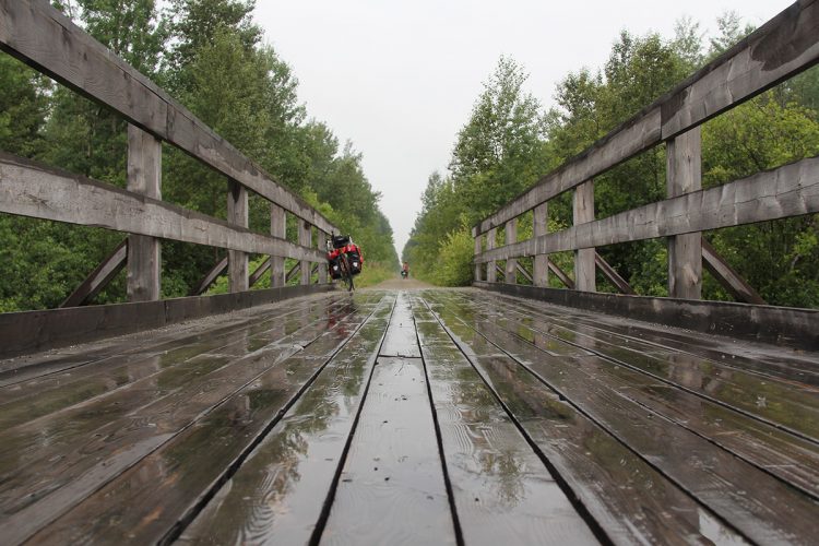
IMPORTANT: TEMPORARY CLOSURE OF A SECTION AND BRIDGE REMOVED According to our information, from Taschereau, the first bridge was removed. the trail would only be accessible for a few km. The cycle track is closed from km 26 to km 38. See PDF "Closing a section" in the right column of this sheet.
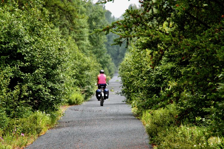
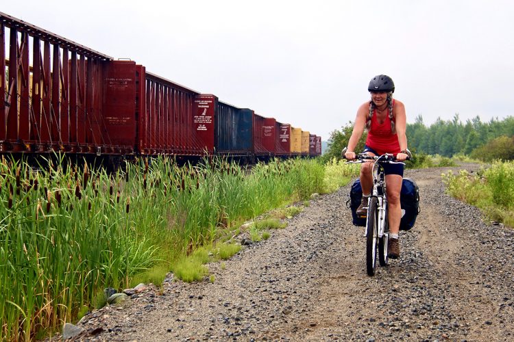
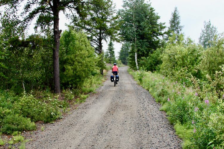
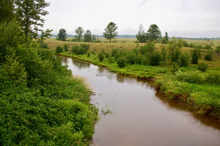
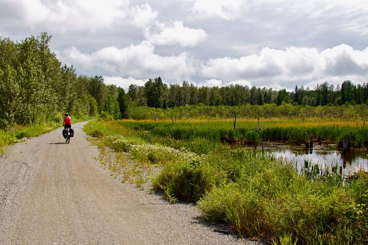
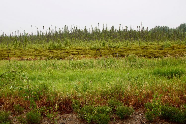
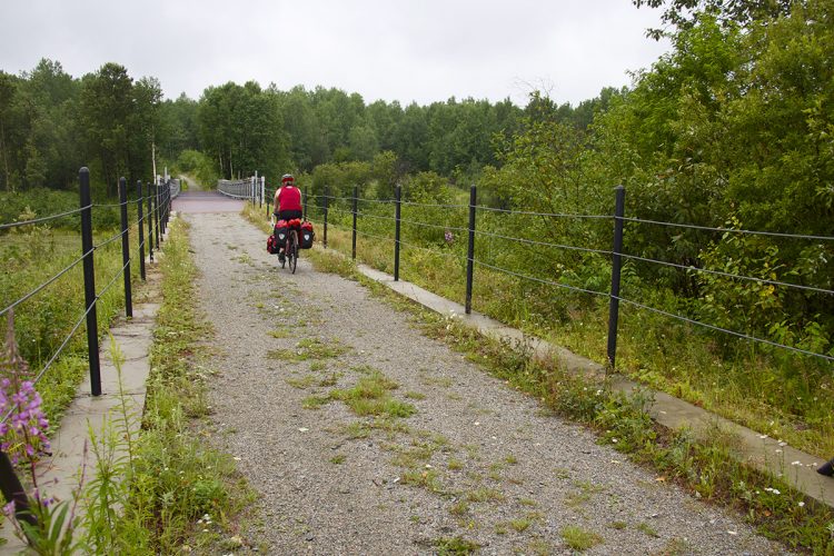
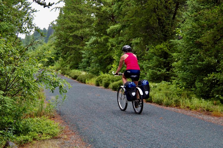
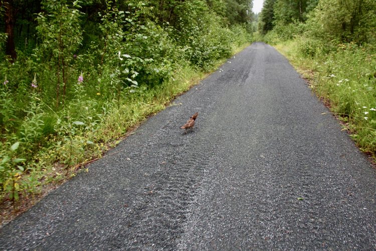
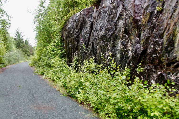
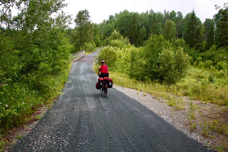
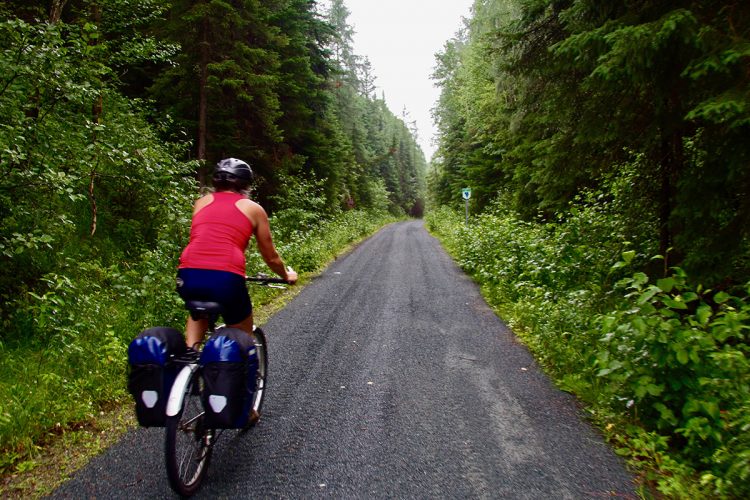
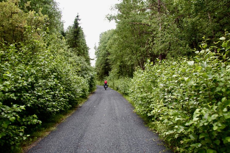
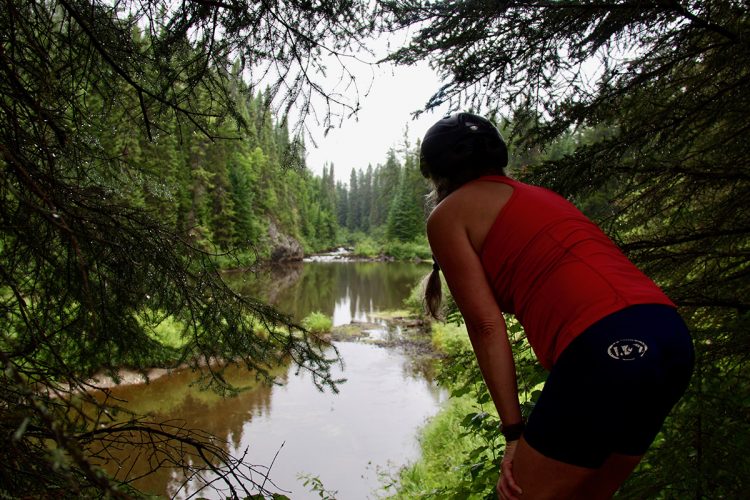
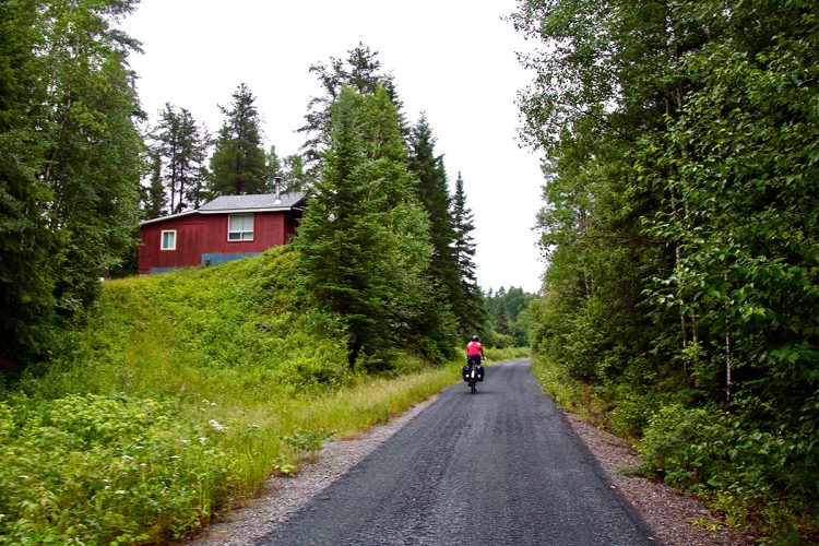
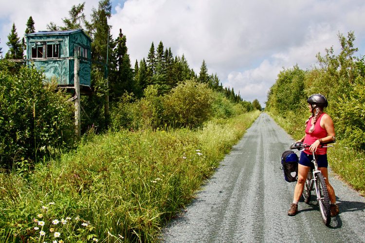
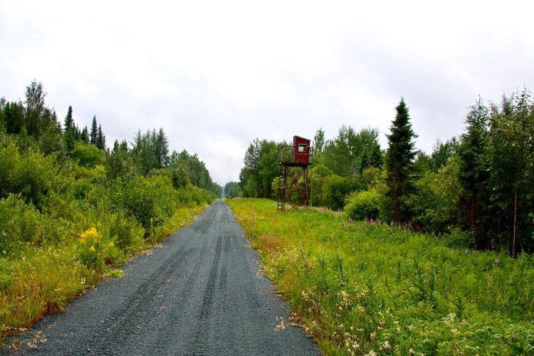
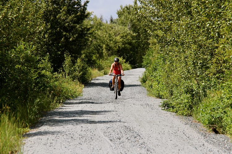
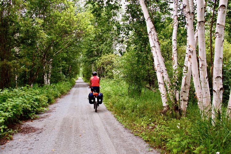
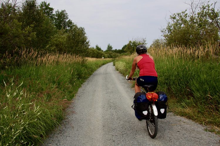
This former railway between Rouyn-Noranda and Taschereau allows cyclists to soak up a variety of landscapes representing typical ecosystems of Abitibi-Témiscamingue. The borrowing is through different media, forestry, agriculture, mining, residential and resort observe diverse flora and fauna and explore various environments. This section takes the name of Cyclo-way sharing of water because the region has grown by waterways and rail. A second purpose is given to this by way of cycling. It is also close found this line of watershed, this geological phenomenon that distinguishes us where the water flows to the North or the South, and so swells the watersheds of the James Bay and St. Lawrence. In Algonquin, Abbittibbi means places where the waters separate.
- electrocardiogram Easy
- mountain 56 Km (Linear)
- calendar seasonal
Sections
Cyclo-voie Le Partage des Eaux
- electrocardiogram Easy
- mountain 57.25 km (Linear)
Points of service and interest
Category Name
-
 Wild camping
Camping sauvage au premier rapide en amont du rapides Windfall à Cléricy
48°21'52.815”N
Wild camping
Camping sauvage au premier rapide en amont du rapides Windfall à Cléricy
48°21'52.815”N
78°51'24.027”O -
 Parking
Point de départ de la Cyclo-voie
48°39'46.466"N
Parking
Point de départ de la Cyclo-voie
48°39'46.466"N
78°41'18.478"O -
Parking
Point d'arrivée de la Cyclo-voie
48°21'37.662”N
79°0'5.746”O -
 Picnic table
Parc Valentine-Lupien dans le quartier Destor
48°27'34.651"N
Picnic table
Parc Valentine-Lupien dans le quartier Destor
48°27'34.651"N
78°57'18.785"O -
Picnic table
Aire de pique-nique du parc de Cléricy (site de l'ancien dépanneur le Balbuzard)
48°21'54.052"N
78°51'45.665"O -
Picnic table
Aire de pique-nique du parc D'Alembert(rte 101 Nord / rue Harrison - 100 mètres)
48°21'45.293”N
79°1'8.293”O -
Picnic table
Aire de pique-nique du lac Loïs (pont Balley)
48°34'25.45"N
78°49'52.378"O -
 Commercial campsite
Camping aménagé Abijévis (Parc national d'Aiguebelle, lac Matissard)
48°25'53.599"N
Commercial campsite
Camping aménagé Abijévis (Parc national d'Aiguebelle, lac Matissard)
48°25'53.599"N
78°41'31.819"O -
-
Parking
Stationnement du parc de Cléricy (site de l'ancien dépanneur le Balbuzard)
48°21'54.052"N
78°51'45.665"O -
Parking
Stationnement du chemin du Parc près du quartier Destor
48°27'34.078"N
78°53'14.32"O -
Parking
Stationnement du bureau municipal de D'Alembert723, boulevard d'Alembert (rte 101), en face de l'école
48°21'41.556"N
79°1'0.912"O -
Parking
Stationnement de la halte du quai public de Taschereau
48°21'41.556"N
79°1'0.912"O -
 Refueling
Source naturelle d'eau aménagée au pied d'un camp de chasse
48°29'21.238"N
Refueling
Source naturelle d'eau aménagée au pied d'un camp de chasse
48°29'21.238"N
78°53'32.03"O -
Commercial campsite
Camping piétonnier Ojibway (Parc national d'Aiguebelle, lac Loïs)
48°35'17.451"N
78°40'59.424"O -
 Point of interest
Frontière entre les territoires de l'Abitibi Ouest et de Rouyn-Noranda
48°33'41,888"N
Point of interest
Frontière entre les territoires de l'Abitibi Ouest et de Rouyn-Noranda
48°33'41,888"N
78°49'51,043"O -
Point of interest
Ligne de partage des eaux
48°33'33,903"N
78°49'55,408"O -
Picnic table
Halte de repos
48°35'34.1"N
78°47'52.5"O -
 Impassable Obstacle
Pont fermé
48°28'34.6"N
Impassable Obstacle
Pont fermé
48°28'34.6"N
78°53'40.1"O -
Impassable Obstacle
Pont fermé
48°34'22.8"N
78°49'53.3"O
Accessibility
Access Rights
 Free, no visitors infrastructure.
 ![]() Dogs are welcome.
Dogs are welcome.
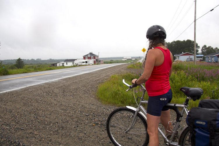
Directions to the starting point
In Taschereau, on route 111, go to the public dock stop. Outdoor parking and launch ramp. Position: 78°40'58,507"W 48°39'49,396"N
By bike from the parking, take route 111 towards Amos, turn right on route 390 and right on Avenue Bergeron (route 390), turn right on rue Dubreuil to join route Verte.
Directions to the point of arrival
From Rouyn-Noranda, go on rue Saguenay (route 101) towards La Sarre until the D'Allembert district.
Outdoor parking: municipal office of the D'Alembert district in front of the school (723, boul. d’Alembert (rte 101) Position: 79°1'0,912"W 48°21'41,556"N
By bike, at the exit of the cyclo-voie (79°0'5,747"W 48°21'37,654"N), turn right onto the asphalt road to Aiguebelle. Turn left on Saguenay street (rte 101) and turn right into the parking lot of the municipal office in the D'Alembert neighbourhood. Distance from the intersection of the Cyclo-voie and the rte d'Aiguebelle to the municipal parking: 1.1 km
Other accesses are possible along the route.
Contact
Rouyn-Noranda sector : 819 797-3195 or 1 888 797-3195
Specifications
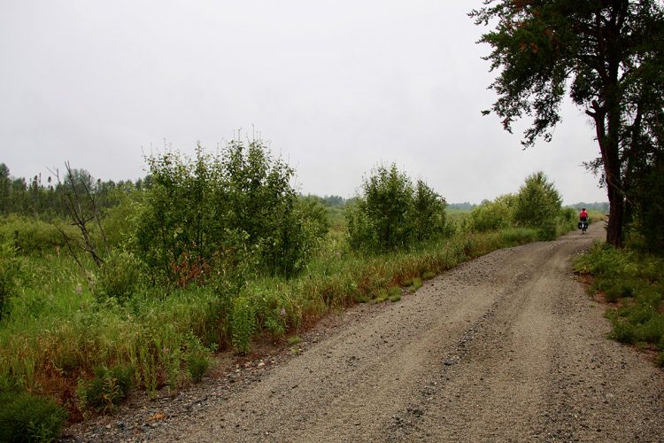
Covering: Stone dust
Comments social0
Tools ready to go
- map Guide map (PDF)
- mapsquare Download GPS track (GPX)
- Google driving directions
-
 Sunrise : 07:28
Sunset : 18:33
Info & advice
- Animation et interprétation
- Camping
- Care
- Carte et orientation
- Caution
- Classification
- Emergency
- Equipment
- Nutrition
-
Prevention
- 10 articles de première nécessité
- Bien s'hydrater
- Comment lire la météo dans les nuages? Faire la pluie et le beau temps !
- Éviter les ampoules aux pieds
- Éviter les mauvaises rencontres en milieu sauvage
- Feu de camp sécuritaire : trois étapes à respecter
- Insectifuges
- LA PRÉPARATION DU CYCLISTE : PORT DU CASQUE PROTECTEUR
- Les moustiques
- Lunettes de soleil
- MALADIE DE LYME : PRÉVENIR LES PIQÛRES DE TIQUE EN RANDONNÉE
- Perdu en forêt : quoi faire?
- Règles de sécurité pour la circulation à bicyclette
- Se protéger contre le soleil
- Vaporisateur Chasse-ours
- Réglementation
- Training
Caution
This sheet has been prepared from information provided by outdoor enthusiasts deemed sufficiently reliable and experienced. Errors or omissions are always possible and Tourisme Abitibi-Témiscamingue cannot accept responsibility for any problem or accident that may arise from this sheet or be attributed to its use. If you notice any errors or omissions during your expedition, we would be very grateful if you would let us know by email pleinair@atrat.org in order to keep our information up to date.
