
Pointe Opémican Bike trail
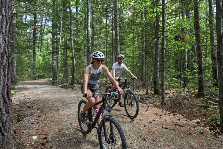
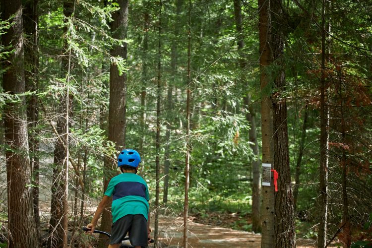
Pointe Opémican Bike trail
Témiscaming, Témiscamingue
- electrocardiogram Easy
- mountain Linear
Sections
Chemin Opemican
- electrocardiogram Easy
- mountain 1.68 km (Linear)
Voie de Service
- electrocardiogram Easy
- mountain 0.92 km (Linear)
Boucle des Cageux
- electrocardiogram Easy
- mountain 0.58 km (Linear)
Boucle des Draveurs
- electrocardiogram Easy
- mountain 0.78 km (Linear)
Sentier des Draveurs
- electrocardiogram Easy
- mountain 0.09 km (Linear)
Boucle des Remorqueurs
- electrocardiogram Easy
- mountain 0.44 km (Linear)
Accès à l'eau
- electrocardiogram Easy
- mountain 0.24 km (Linear)
Sentier de l'Estacade
- electrocardiogram Easy
- mountain 2.98 km (Linear)
Chemin Jodoin
- electrocardiogram Easy
- mountain 5.08 km (Linear)
Estacade Trail
- electrocardiogram Easy
- mountain 2.98 km (Loop)
Jodoin Road
- electrocardiogram Easy
- mountain 5.08 km (Linear)
Opemican Road
- electrocardiogram Easy
- mountain 1.68 km (Linear)
Service Road
- electrocardiogram Easy
- mountain 0.92 km (Linear)
Water Access
- electrocardiogram Easy
- mountain 0.24 km (Linear)
Cageux Loop
- electrocardiogram Easy
- mountain 0.58 km (Linear)
Draveurs Loop
- electrocardiogram Easy
- mountain 0.78 km (Linear)
Draveurs Trail
- electrocardiogram Easy
- mountain 0.09 km (Linear)
Remorqueurs Loop
- electrocardiogram Easy
- mountain 0.44 km (Linear)
Points of service and interest
Category Name
-
 Parking
Stationnement de la Pointe Opémican
46°50'05.2"N
Parking
Stationnement de la Pointe Opémican
46°50'05.2"N
79°11'36.7"O -
 Reception et services
Centre de service de la pointe Opémican et boutique nature
46°50'6,592"N
Reception et services
Centre de service de la pointe Opémican et boutique nature
46°50'6,592"N
79°11'34,221"O -
 Point of interest
Auberge Jodoin
46°49'54,485"N
Point of interest
Auberge Jodoin
46°49'54,485"N
79°11'30,857"O -
Point of interest
Menuiserie / Chalouperie
46°49'56.1"N
79°11'29.2"O -
 Discovery
Moulin à scie
46°50'2,449"N
Discovery
Moulin à scie
46°50'2,449"N
79°12'14,225"O -
Point of interest
Forge
46°49'56,176"N
79°11'29,052"O -
Point of interest
Château d'eau
46°49'54,608"N
79°11'33,217"O -
Point of interest
Garage
46°50'0,361"N
79°11'32,55"O -
Point of interest
Hangar à estacades
46°50'1,488"N
79°11'31,062"O -
 Sandy beach / Swimming
Pit de sable
46°50'3.817”N
Sandy beach / Swimming
Pit de sable
46°50'3.817”N
79°11'31.3”O -
 Rocky escarpment
Plage de la baie d’Opémican
46°49'58.5”N
Rocky escarpment
Plage de la baie d’Opémican
46°49'58.5”N
79°11'21.759”O -
 Commercial campsite
Camping 2 services (eau, électricité), secteur des Draveurs (boucle A)
46°50'5,919"N
Commercial campsite
Camping 2 services (eau, électricité), secteur des Draveurs (boucle A)
46°50'5,919"N
79°11'45,241"O -
Commercial campsite
Camping sans service sur l'emplacement, secteur des Cageux (boucle B)
46°50'12,786"N
79°11'49,498"O -
 Ready-to-camp for rent
Prêt-à-camper Étoile, secteur des Remorqueurs (boucle C)
46°50'0,924"N
Ready-to-camp for rent
Prêt-à-camper Étoile, secteur des Remorqueurs (boucle C)
46°50'0,924"N
79°11'48,665"O -
 Toilet
Bloc sanitaire
46°50'6,53"N
Toilet
Bloc sanitaire
46°50'6,53"N
79°11'51,34"O
Comments social0
Tools ready to go
Info & advice
- Animation et interprétation
- Camping
- Care
- Carte et orientation
- Caution
- Classification
- Emergency
- Equipment
- Nutrition
-
Prevention
- 10 articles de première nécessité
- Bien s'hydrater
- Comment lire la météo dans les nuages? Faire la pluie et le beau temps !
- Éviter les ampoules aux pieds
- Éviter les mauvaises rencontres en milieu sauvage
- Feu de camp sécuritaire : trois étapes à respecter
- Insectifuges
- LA PRÉPARATION DU CYCLISTE : PORT DU CASQUE PROTECTEUR
- Les moustiques
- Lunettes de soleil
- MALADIE DE LYME : PRÉVENIR LES PIQÛRES DE TIQUE EN RANDONNÉE
- Perdu en forêt : quoi faire?
- Règles de sécurité pour la circulation à bicyclette
- Se protéger contre le soleil
- Vaporisateur Chasse-ours
- Réglementation
- Training
Caution
This sheet has been prepared from information provided by outdoor enthusiasts deemed sufficiently reliable and experienced. Errors or omissions are always possible and Tourisme Abitibi-Témiscamingue cannot accept responsibility for any problem or accident that may arise from this sheet or be attributed to its use. If you notice any errors or omissions during your expedition, we would be very grateful if you would let us know by email pleinair@atrat.org in order to keep our information up to date.
