
Cycle path of Multi-use trail
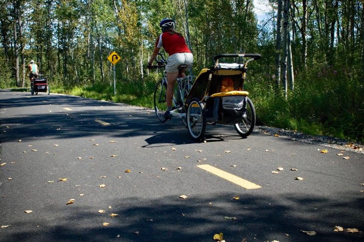
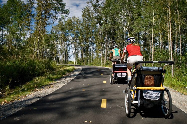
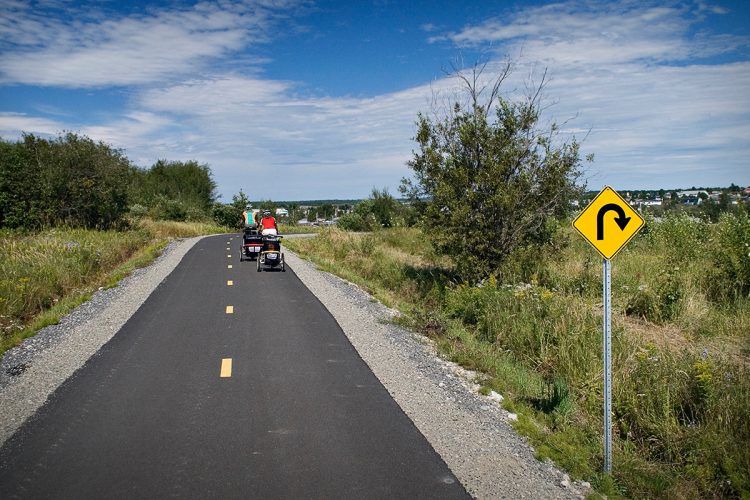
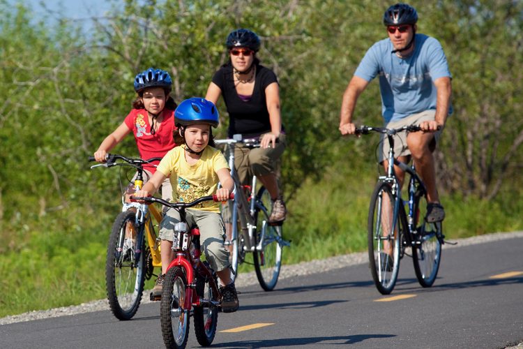
Cycle path of Multi-use trail
La Sarre, La Sarre et l'Abitibi-Ouest
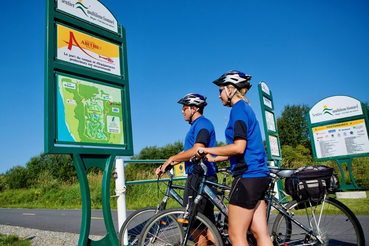
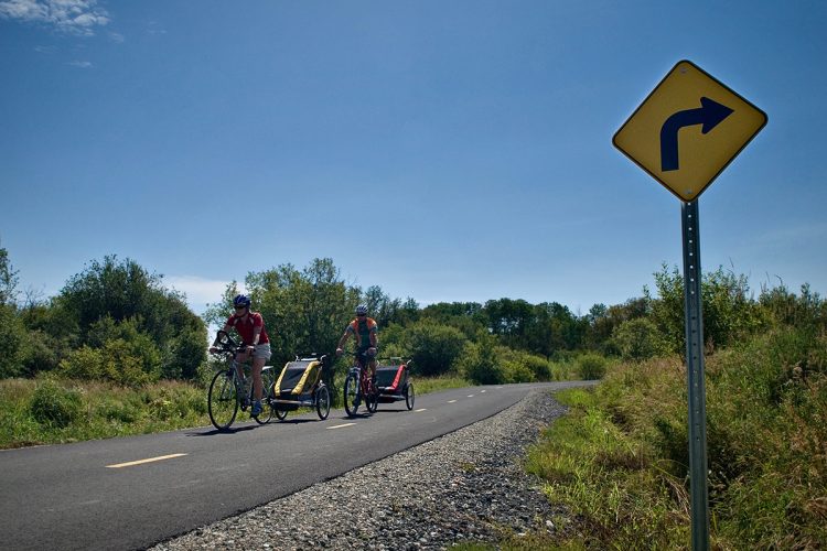
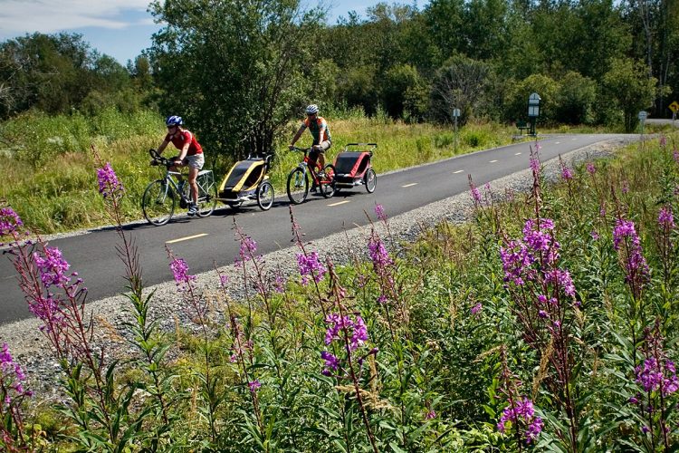
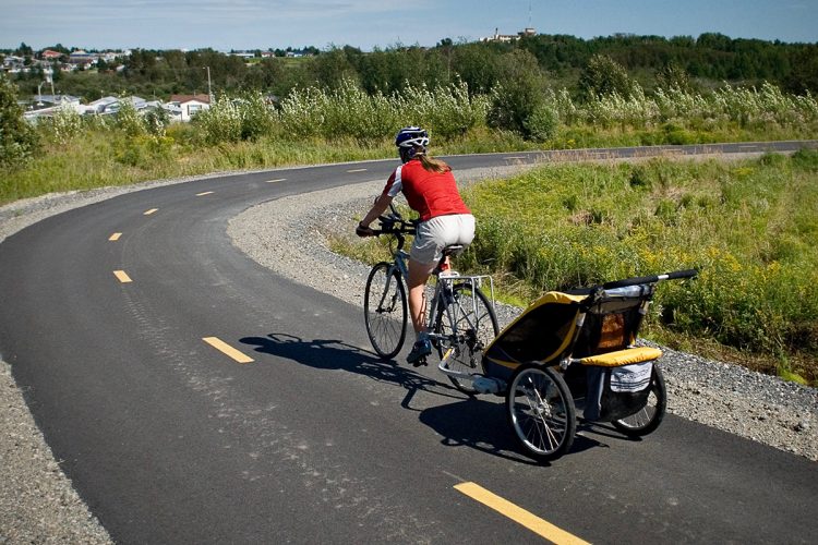
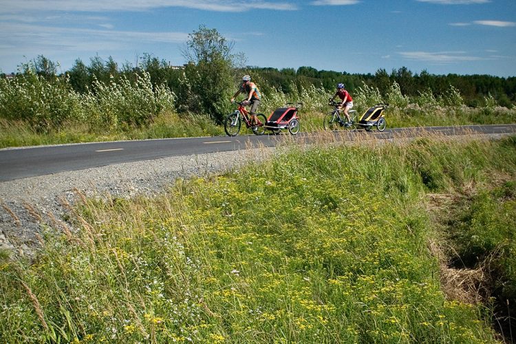
Located close to the urban area and accessible, the multi-functional trail on a paved surface offers lovers of walking, cycling and in-line skating 5 kilometers of pure pleasure, pure delight to enjoy with the family.
- electrocardiogram Easy
- mountain 4.2 Km (Loop)
- calendar seasonal
Sections
Bande cyclable
- electrocardiogram Easy
- mountain 1.60 km (Linear)
Sentier multifonctionnel
- electrocardiogram Easy
- mountain 4.19 km (Linear)
Cycle Path
- electrocardiogram Easy
- mountain 1.60 km (Linear)
Specification : Surface: gravelled and asphalted
Multipurpose Trail
- electrocardiogram Easy
- mountain 4.19 km (Linear)
Points of service and interest
Category Name
 Parking
 Bench
Bench
Accessibility
Access Rights
 Free, without reception infrastructure.
![]() Pets permitted.
Pets permitted.
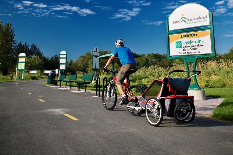
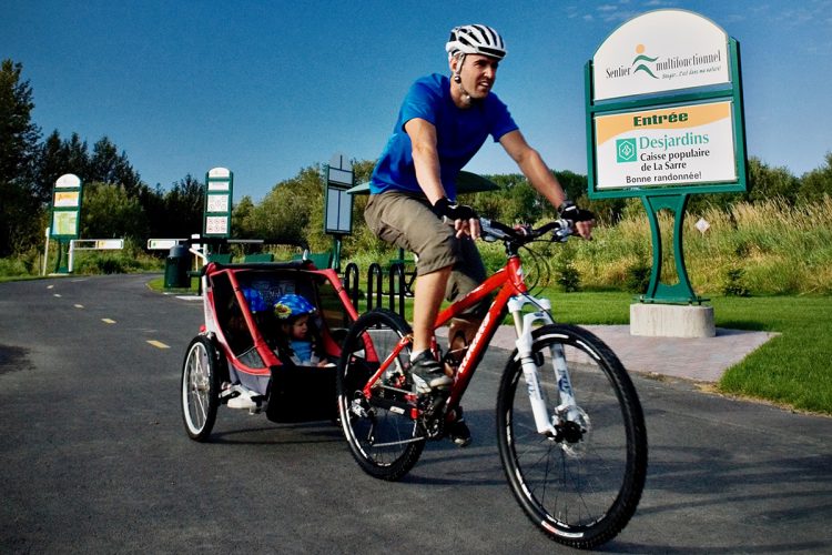
Directions to the starting point
In La Sarre, go to the end of Rue Lambert at the Desjardins entrance. The exit is a little further on 12th Avenue.
Parking: free 48°47'18.1"N 79°12'37.3"0
![]() View the route from your location on Google Map
View the route from your location on Google Map
Contact
T 1 819 333-2282 info@ville.lasarre.qc.ca / View the Website
Comments social0
Tools ready to go
Info & advice
- Animation et interprétation
- Camping
- Care
- Carte et orientation
- Caution
- Classification
- Emergency
- Equipment
- Nutrition
-
Prevention
- 10 articles de première nécessité
- Bien s'hydrater
- Comment lire la météo dans les nuages? Faire la pluie et le beau temps !
- Éviter les ampoules aux pieds
- Éviter les mauvaises rencontres en milieu sauvage
- Feu de camp sécuritaire : trois étapes à respecter
- Insectifuges
- LA PRÉPARATION DU CYCLISTE : PORT DU CASQUE PROTECTEUR
- Les moustiques
- Lunettes de soleil
- MALADIE DE LYME : PRÉVENIR LES PIQÛRES DE TIQUE EN RANDONNÉE
- Perdu en forêt : quoi faire?
- Règles de sécurité pour la circulation à bicyclette
- Se protéger contre le soleil
- Vaporisateur Chasse-ours
- Réglementation
- Training
Caution
This sheet has been prepared from information provided by outdoor enthusiasts deemed sufficiently reliable and experienced. Errors or omissions are always possible and Tourisme Abitibi-Témiscamingue cannot accept responsibility for any problem or accident that may arise from this sheet or be attributed to its use. If you notice any errors or omissions during your expedition, we would be very grateful if you would let us know by email pleinair@atrat.org in order to keep our information up to date.
