
Cycling path - Ligne du Mocassin
Cycling path - Ligne du Mocassin
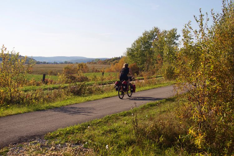
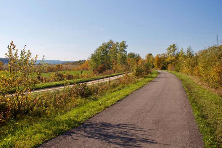
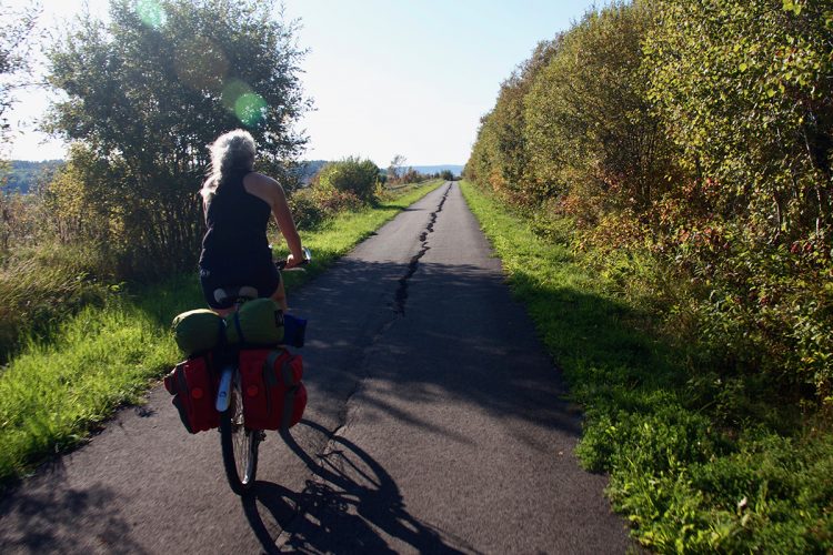
Angliers, Témiscamingue
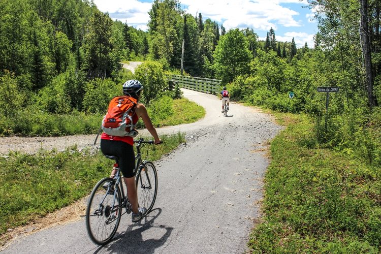
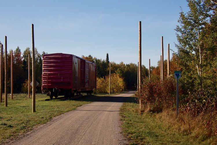
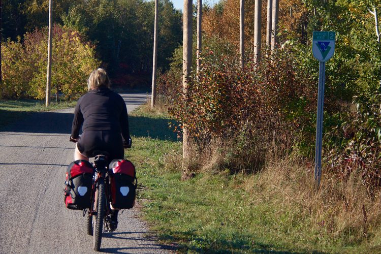
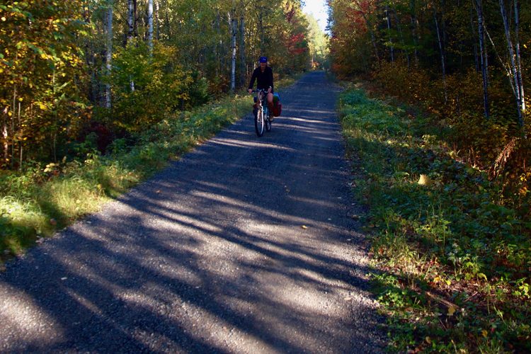
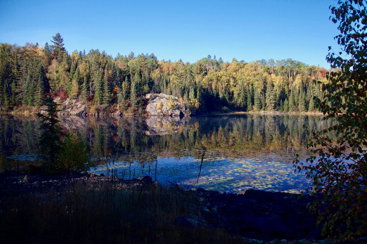
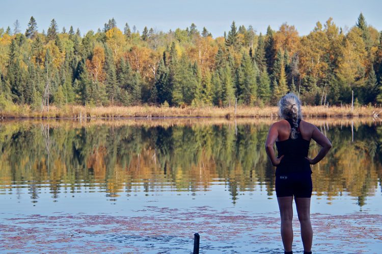
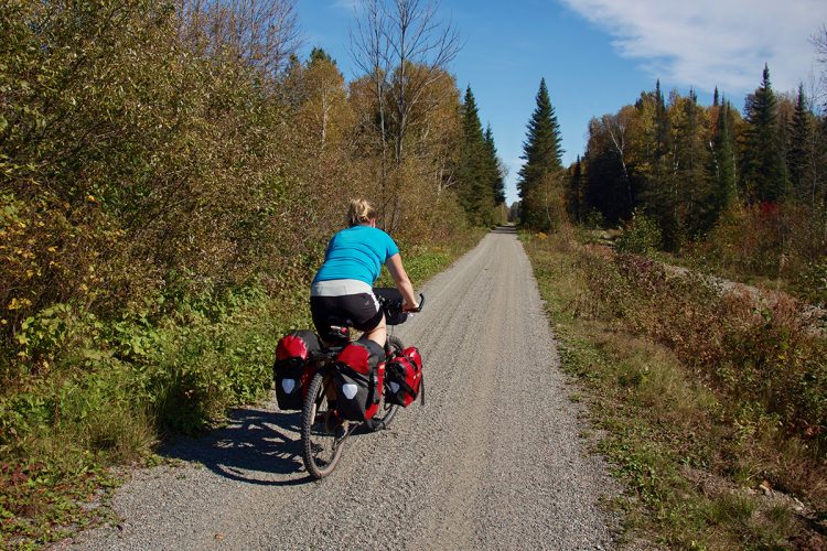
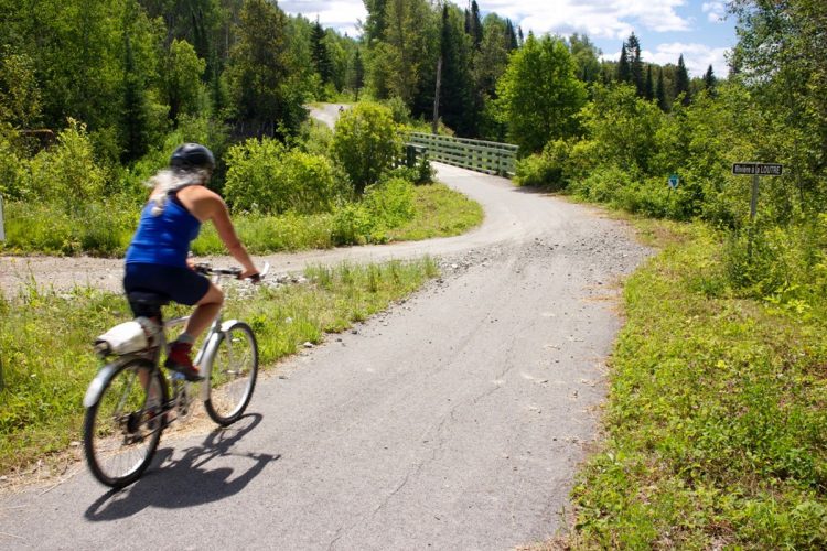
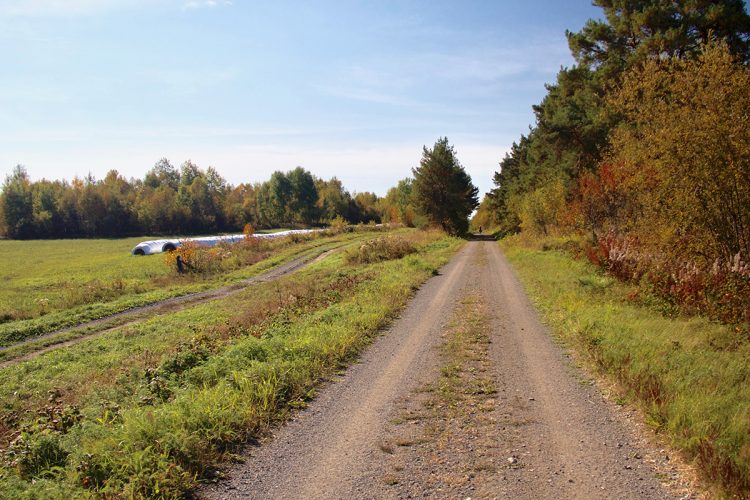
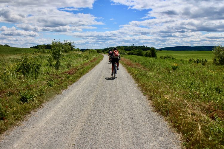
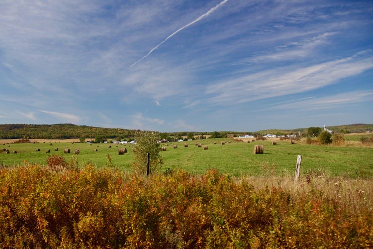
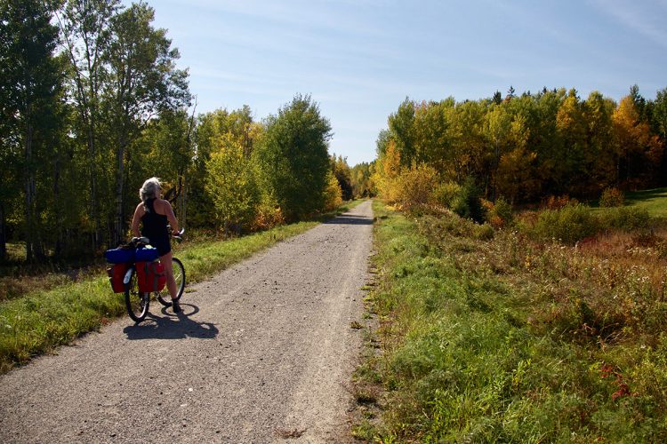
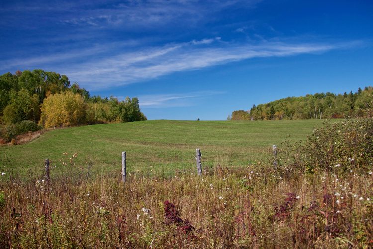
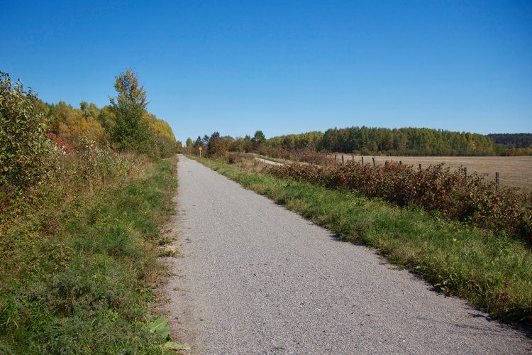
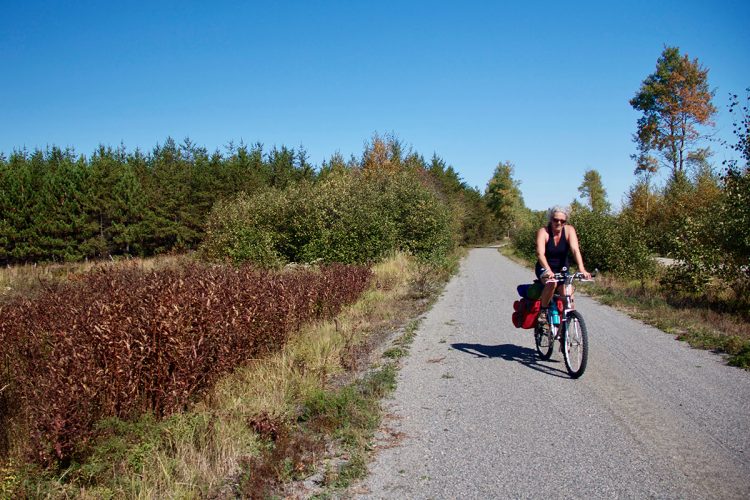
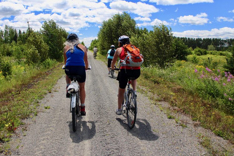
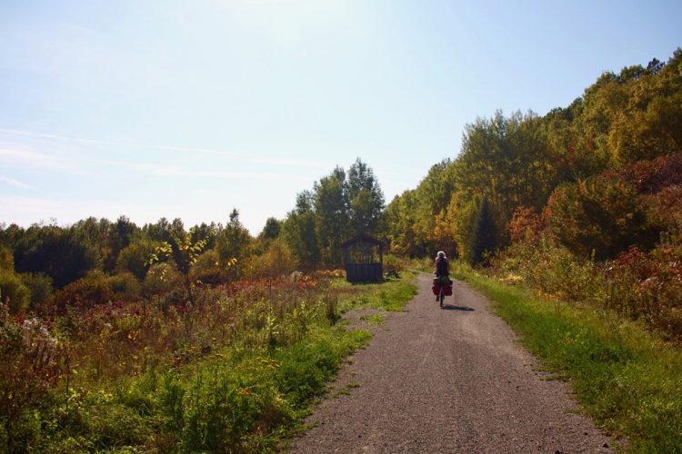
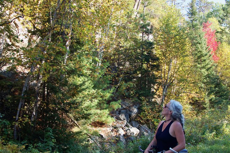
Built on an old railway line, this linear park, made of stone dust, connects Angliers to Ville-Marie via Laverlochère and Lorrainville. Along this trail, nature unfolds its wild expanses. Cycling path, you will see landscapes with reliefs sometimes flat and sometimes mountainous. You will run in the presence of rock walls, falls, rocky outcrops and several small streams. You will pass through areas of fields, plantation forests and natural forests. The forest here is made up of birch, aspen, maple, fir and spruce. The section between Laverlochère and Lorainville allows observation of Canada’s vultures and cranes, while the section between Lorrainville and Ville-Marie has a stop-over with a view of five beaver dams.
- electrocardiogram Easy
- mountain 43 Km (Linear)
- calendar seasonal
Sections
Ligne du Mocassin
- electrocardiogram Easy
- mountain 42.97 km (Linear)
Jonction La Bannik
- electrocardiogram Easy
- mountain 3.80 km (Linear)
Points of service and interest
Category Name
-
 Parking
Stationnement Angliers de la Ligne du Mocassin
47°33'02.7"N
Parking
Stationnement Angliers de la Ligne du Mocassin
47°33'02.7"N
79°14'01.6"O -
 Paid municipal campsite stopover
Halte municipale et camping d'Angliers
47° 33.063'N
Paid municipal campsite stopover
Halte municipale et camping d'Angliers
47° 33.063'N
79° 14.295'O -
 Refueling
Dépanneur Rond-Point
47°21'16.679''N
Refueling
Dépanneur Rond-Point
47°21'16.679''N
79°21'9.756''O -
 Toilet
te sèche
47°31'11,4"N
Toilet
Toilette sèche
47°31'11,4"N
79°13'51,5"O -
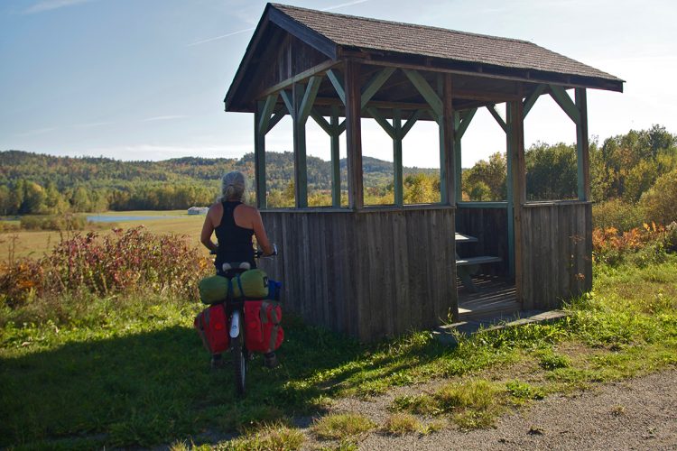
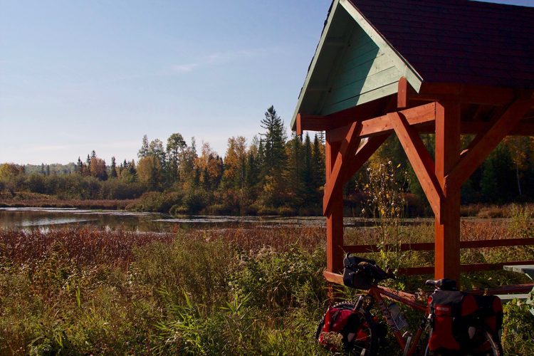
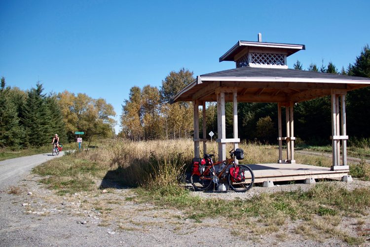
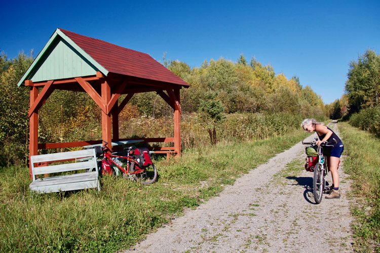
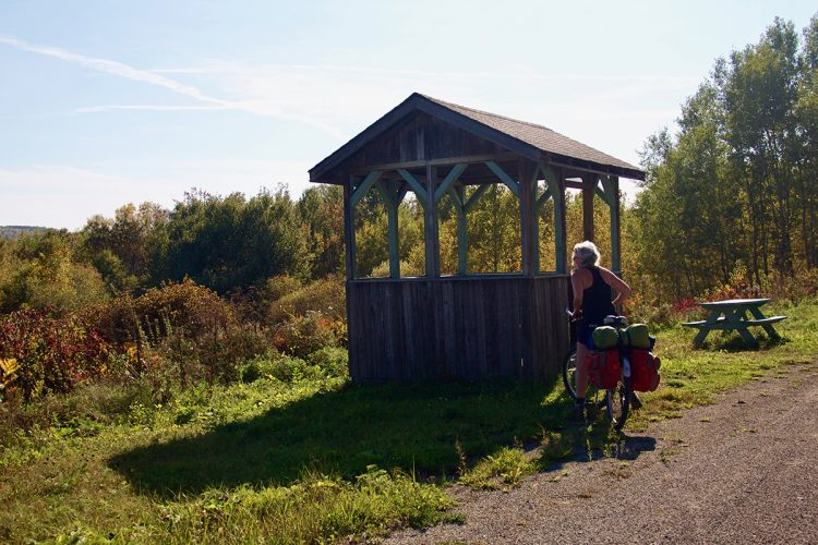
 Covered picnic table
Halte 1
47°31'11,591"N
Covered picnic table
Halte 1
47°31'11,591"N
79°13'51,382"O -
Covered picnic table
Halte 2
47°28'20,478"N
79°13'54,977"O -
Covered picnic table
Halte 3
47°23'53,691"N
79°18'13,823"O -
Toilet
Toilette sèche du lac Rond
47°27'24,8"N
79°15'15,7"O -
 Bench
Banc de Laverlochère
47°25'36,9"N
Bench
Banc de Laverlochère
47°25'36,9"N
79°17'4,02"O -
Toilet
Halte municipal Laverlochère
47°25'35.2"N
79°17'35.2"O -
 Picnic table
Parc municipal de Laverlochère
47°25'33,783"N
Picnic table
Parc municipal de Laverlochère
47°25'33,783"N
79°18'31,064"O -
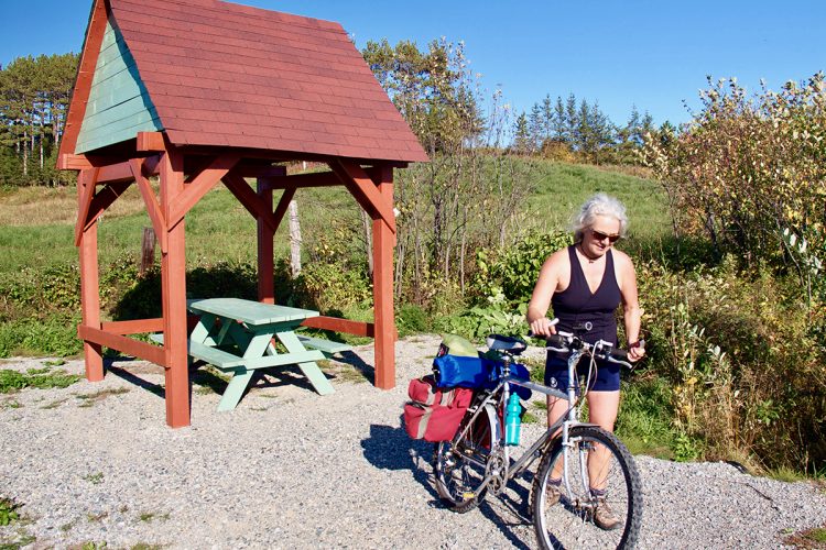
Covered picnic table
Halte 4
47°18'47,529"N
79°20'32,317"O -
Covered picnic table
Pavillon de Lorrainville
47°21'14,994"N
79°20'6,479"O -
 Regional flavor
Fromagerie Le Fromage au Village
47°21'14.9"N
Regional flavor
Fromagerie Le Fromage au Village
47°21'14.9"N
79°21'38.8"O -
 Free municipal campsite stopover
Camping de la Halte routière de Lorrainville
47°21'14.0"N
Free municipal campsite stopover
Camping de la Halte routière de Lorrainville
47°21'14.0"N
79°19'46.3"O -
Refueling
Dépanneur Béco
47°21'16.679''N
79°21'9.756''O -
Covered picnic table
Halte 5
47°17'54,505"N
79°22'38,458"O -
Toilet
Toilette 1
47°17'29.0"N
79°24'04.7"O -
Covered picnic table
Halte 6
47°17'29,099321"N
79°24'2,969"O -
Covered picnic table
Halte 7
47°19'24,863"N
79°24'58,781"O -
Regional flavor
Le Verger des Tourterelles
47°21'13.6"N
79°26'24.5"O -
Free municipal campsite stopover
Halte-camping municipale de Ville-Marie
47°19'44.9"N
79°26'03.0"O -
 Guiding Adventure
Coop de l'Arrière-Pays
47°19'58.512"N
Guiding Adventure
Coop de l'Arrière-Pays
47°19'58.512"N
79°26'15.108"O -
 Repair
Go Sport
(12,rue Ste-Anne, Ville-MarieT 819 629-2590)
47°19'50.703''N
Repair
Go Sport
(12,rue Ste-Anne, Ville-MarieT 819 629-2590)
47°19'50.703''N
79°26'26.683''O -
Repair
O'Vélo
47°20'10.374"N
79°26'51.089"O -
Parking
Stationnement de la marina de Ville-Marie
47°19'47.8"N
79°26'38.2"O -
 Bike for rent
Plage La Bannik
47°17'26.2"N
Bike for rent
Plage La Bannik
47°17'26.2"N
79°27'13.5"O -
Parking
Stationnement La Bannik des sentiers récréatifs d'hiver
47°17'29.6"N
79°27'12.1"O
Accessibility
Access Rights
Free, no welcome center.
Pets are allowed.
Directions to the starting point
In Angliers, on route 391, take the rue du T.E. Draper until the launching ramp.
Outdoor parking and launching ramp.
Position : 79°13'59,709"O 47°33'4,507"N
Directions to the point of arrival
In the heart of Ville-Marie.
Other access is possible along the route.
Specifications
- In some places, the Mocassin line is crossed by mountain bike trails.
Comments social0
Tools ready to go
- map Guide map (PDF)
- mapsquare Download GPS track (GPX)
- Google driving directions
-
 Sunrise : 07:29
Sunset : 18:37 -
Equipment for rent Coop de l'Arrière-Pays
- pdf Planification
- pdf Equipement Cyclotourisme
- pdf Pmu Parcours Pagayable Du Réservoir Decelles
- pdf Pgr Parcours Pagayable Du Réservoir Decelles
- pdf Systemes Communications
- pdf Trousses Premiers Soins
- pdf Sans Trace Apa
Info & advice
- Animation et interprétation
- Camping
- Care
- Carte et orientation
- Caution
- Classification
- Emergency
- Equipment
- Nutrition
-
Prevention
- 10 articles de première nécessité
- Bien s'hydrater
- Comment lire la météo dans les nuages? Faire la pluie et le beau temps !
- Éviter les ampoules aux pieds
- Éviter les mauvaises rencontres en milieu sauvage
- Feu de camp sécuritaire : trois étapes à respecter
- Insectifuges
- LA PRÉPARATION DU CYCLISTE : PORT DU CASQUE PROTECTEUR
- Les moustiques
- Lunettes de soleil
- MALADIE DE LYME : PRÉVENIR LES PIQÛRES DE TIQUE EN RANDONNÉE
- Perdu en forêt : quoi faire?
- Règles de sécurité pour la circulation à bicyclette
- Se protéger contre le soleil
- Vaporisateur Chasse-ours
- Réglementation
- Training
Caution
This sheet has been prepared from information provided by outdoor enthusiasts deemed sufficiently reliable and experienced. Errors or omissions are always possible and Tourisme Abitibi-Témiscamingue cannot accept responsibility for any problem or accident that may arise from this sheet or be attributed to its use. If you notice any errors or omissions during your expedition, we would be very grateful if you would let us know by email pleinair@atrat.org in order to keep our information up to date.
