
Osisko Cycle path

Osisko Cycle path
Rouyn-Noranda, Rouyn-Noranda
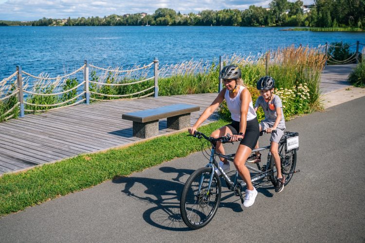
Osisko Lake
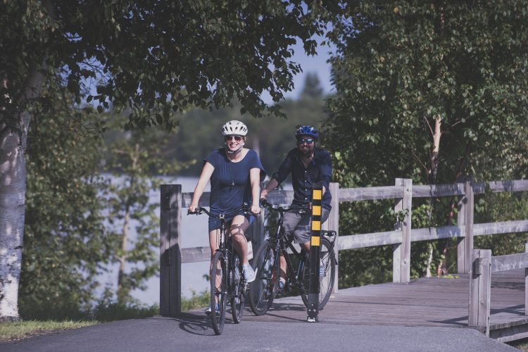
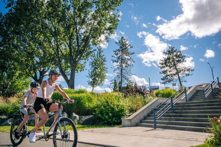
The Osisko multi-use trail is for walking, running, rollerblading, skateboarding, cycling, etc. It is therefore essential to be courteous. Cyclists and inline skaters should slow down when approaching pedestrians and avoid risky overtaking.
- electrocardiogram Easy
- mountain 7.9 Km (Loop)
- calendar seasonal
Sections
Tour du Lac Osisco
- electrocardiogram Easy
- mountain 7.84 km (Linear)
Tour of Lake Osisco
- electrocardiogram Easy
- mountain 7.84 km (Linear)
Tour of Lake Osisco
- electrocardiogram Easy
- mountain 7.84 km (Linear)
Points of service and interest
Category Name
 Cultural Visit
Accessibility
Access Rights
 Free of charge, with no reception infrastructure.
 Pets are allowed.
Directions to reach the bike path
In Rouyn-Noranda, at the end of Avenue Murdoch, behind the School of Music in G minor, towards the peninsula.
Other parking lots :
- Au Magasin général Dumulon - 1924, 191 avenue du lac.
- Trémoy Road (behind the Notre-Dame-de-Protection school).
- Avenue du Lac parking (fee).
Specifications
- Dedicated asphalt track
Comments social0
Tools ready to go
Info & advice
- Animation et interprétation
- Camping
- Care
- Carte et orientation
- Caution
- Classification
- Emergency
- Equipment
- Nutrition
-
Prevention
- 10 articles de première nécessité
- Bien s'hydrater
- Comment lire la météo dans les nuages? Faire la pluie et le beau temps !
- Éviter les ampoules aux pieds
- Éviter les mauvaises rencontres en milieu sauvage
- Feu de camp sécuritaire : trois étapes à respecter
- Insectifuges
- LA PRÉPARATION DU CYCLISTE : PORT DU CASQUE PROTECTEUR
- Les moustiques
- Lunettes de soleil
- MALADIE DE LYME : PRÉVENIR LES PIQÛRES DE TIQUE EN RANDONNÉE
- Perdu en forêt : quoi faire?
- Règles de sécurité pour la circulation à bicyclette
- Se protéger contre le soleil
- Vaporisateur Chasse-ours
- Réglementation
- Training
Caution
This sheet has been prepared from information provided by outdoor enthusiasts deemed sufficiently reliable and experienced. Errors or omissions are always possible and Tourisme Abitibi-Témiscamingue cannot accept responsibility for any problem or accident that may arise from this sheet or be attributed to its use. If you notice any errors or omissions during your expedition, we would be very grateful if you would let us know by email pleinair@atrat.org in order to keep our information up to date.
