
Témiscamingue Country Bike Trail
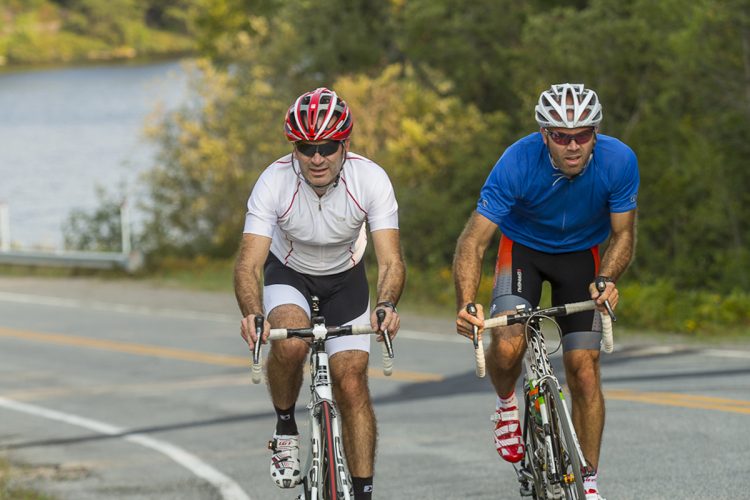
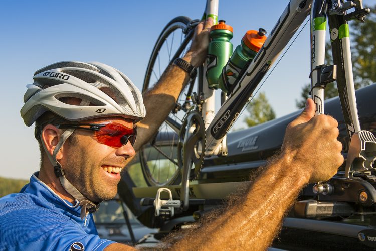
Témiscamingue Country Bike Trail
Ville-Marie, Témiscamingue
- electrocardiogram Moderate to Demanding
- mountain 275.7 Km (Mixed)
- calendar seasonal
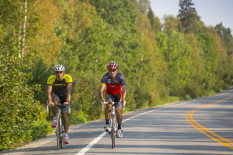
Sections
Ville-Marie à Remigny
- electrocardiogram Moderate
- mountain 92.80 km (Linear)
Rémigny à Duhamel-Ouest (La Bannik)
- electrocardiogram Demanding
- mountain 91.55 km (Linear)
Duhamel-Ouest (La Bannik) à Laforce
- electrocardiogram Easy
- mountain 91.07 km (Linear)
Points of service and interest
Category Name
-
 Heritage visit
Maison du Frère-Moffet
47°19'54.407”N
Heritage visit
Maison du Frère-Moffet
47°19'54.407”N
79°26'34.283”O -
 Agrotourism
Chocolats Martine
47°19'46.882”N
Agrotourism
Chocolats Martine
47°19'46.882”N
79°26'35.499”O -
 Launching ramp
Marina municipale de Ville-Marie
(7, rue Sainte-Anne Ouest)
47°19'46.062”N
Launching ramp
Marina municipale de Ville-Marie
(7, rue Sainte-Anne Ouest)
47°19'46.062”N
79°26'37.915”O -
 Point of interest
Théâtre du Rift
47°19'51.527”N
Point of interest
Théâtre du Rift
47°19'51.527”N
79°26'22.613”O -
 Repair
Go Sport
(12,rue Ste-Anne, Ville-MarieT 819 629-2590)
47°19'50.703''N
Repair
Go Sport
(12,rue Ste-Anne, Ville-MarieT 819 629-2590)
47°19'50.703''N
79°26'26.683''O -
 Regional flavor
Miel Abitémis
47°24'47.9"N
Regional flavor
Miel Abitémis
47°24'47.9"N
79°27'00.5"O -
Heritage visit
Domaine Breen
47°27'52.7"N
79°26'18.2"O -
Regional flavor
Ferme Norvie
47°29'26.6"N
79°28'56.1"O -
Regional flavor
L'Éden Rouge
47°28'05.7"N
79°26'16.1"O -
 Refueling
Épicerie Coin 7/7
47°27'43.225"N
Refueling
Épicerie Coin 7/7
47°27'43.225"N
79°26'17.444"O -
 Cultural Visit
Centrale de la Première-Chute
47°36'03.4"N
Cultural Visit
Centrale de la Première-Chute
47°36'03.4"N
79°27'08.9"O -
Launching ramp
Marina Tête-du-Lac de Notre-Dame-du-Nord
(480, 3e Rang Ouest)
47°35'12.508”N
79°29'8.578”O -
Cultural Visit
Fossilarium
47°35'34.7"N
79°29'02.9"O -
Regional flavor
Barbe Broue
47°39'0,935"N
79°25'23,269"O -
Heritage visit
Musée de Guérin
47°39'31.7"N
79°18'52.3"O -
Cultural Visit
Église de Rémigny1295, chemin de l'ÉgliseRémigny, Québec, J0Z 3H0T 1 819 761-2128
47°45'40.7"N
79°12'29.3"O -
 Paid municipal campsite stopover
Camping municipale à Rémigny
47°45'43.5"N
Paid municipal campsite stopover
Camping municipale à Rémigny
47°45'43.5"N
79°12'40.0"O -
 Kayak for rent
Aventures Obikoba 1295, chemin de l'ÉgliseRémigny, Québec, J0Z 3H0T. 1 819 761-2128
47°45'42,93"N
Kayak for rent
Aventures Obikoba 1295, chemin de l'ÉgliseRémigny, Québec, J0Z 3H0T. 1 819 761-2128
47°45'42,93"N
79°12'31,34"O -
Launching ramp
Rampe de mise à l'eau du lac des Quinze à Rémigny
47°45'29.249"N
79°12'23.623"O -
Heritage visit
Le T.E. Draper/Chantier Gédéon
47°33'06.7"N
79°14'05.9"W -
Refueling
Dépanneur Rond-Point
47°21'16.679''N
79°21'9.756''O -
Paid municipal campsite stopover
Halte municipale et camping d'Angliers
47° 33.063'N
79° 14.295'O -
Regional flavor
Vers Forêt
47°32'57.3"N
79°14'11.5"O -
 Observation tower
Lac Cameron Tower
47°30'15.624N
Observation tower
Lac Cameron Tower
47°30'15.624N
79°19'22.573O -
Agrotourism
Chalet Chez Lyne et Sylvain
47°42'16,154"N
79°21'3,654"O -
Refueling
Léane Marché Éclair
47°32'57.9"N
79°14'12.2"O -
Launching ramp
Marina Paul Coulombe
(15, rue du T E Draper, Angliers)
47°33'4.507"N
79°13'59.709"O -
 Free municipal campsite stopover
Camping de la Halte routière de Lorrainville
47°21'14.0"N
Free municipal campsite stopover
Camping de la Halte routière de Lorrainville
47°21'14.0"N
79°19'46.3"O -
Refueling
Dépanneur Béco
47°21'16.679''N
79°21'9.756''O -
Regional flavor
Fromagerie Le Fromage au Village
47°21'14.9"N
79°21'38.8"O -
Regional flavor
Le Verger des Tourterelles
47°21'13.6"N
79°26'24.5"O -
Heritage visit
Lieu historique national du Canada du Fort-Témiscamingue
47°17'19.8”N
79°27'40.7”O -
 Bike for rent
Plage La Bannik
47°17'26.2"N
Bike for rent
Plage La Bannik
47°17'26.2"N
79°27'13.5"O -
 Dock
Quai du complexe récréotouristique La Bannik
(862, chemin du Vieux-Fort, Duhamel-Ouest)
47°17'26.2"N
Dock
Quai du complexe récréotouristique La Bannik
(862, chemin du Vieux-Fort, Duhamel-Ouest)
47°17'26.2"N
79°27'12.0"O -
Launching ramp
Rampe de mise à l’eau de Moffet
(rue du Quai, Moffet)
47°33'2.921”N
78°57'17.466”O -
 Guiding Adventure
Coop de l'Arrière-Pays
47°19'58.512"N
Guiding Adventure
Coop de l'Arrière-Pays
47°19'58.512"N
79°26'15.108"O -
Repair
O'Vélo
47°20'10.374"N
79°26'51.089"O
Accessibility
![]() Baggage transport service and shuttle service
Baggage transport service and shuttle service
In order to enjoy your days outdoors in complete freedom and lightness, the Coop de l'Arrière-Pays offers you a service of custom luggage transfer of the safest. This service is simple, reliable and efficient. No need to load your bike bags or boat with your equipment that will only be used in several days. Take the bare minimum for this step, such as a bottle of water, windbreaker and snacks. The rest of your luggage will be waiting for you at your next stop. This service is offered in all accommodation locations located in the municipalities of Témiscamingue (hotels, campsites, chalets and at your family and friends).
Specifications
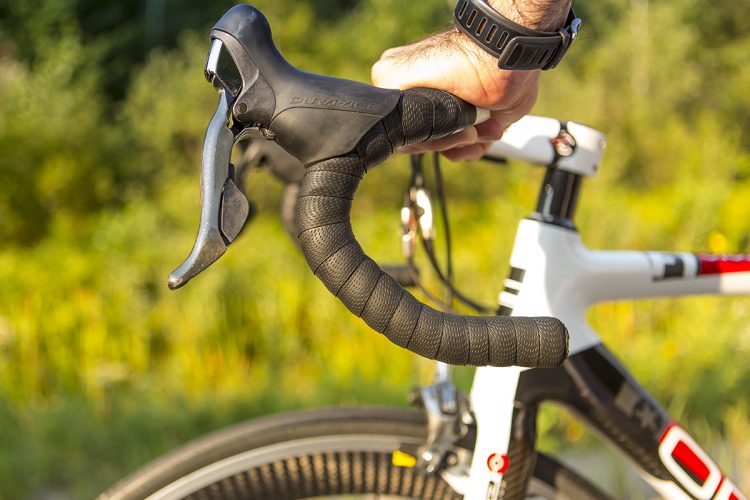
Road surface:
On asphalt road
Your safety, your responsibility:
- Wear a helmet
- Drive to the far right of the track
- Pass on the left side
- In a group, walk in line
- Respect the signs
- Clear the way during a stop
- Bring enough water and food for the duration of the trip
- Bring your waste
Comments social0
Tools ready to go
- map Guide map (PDF)
- mapsquare Download GPS track (GPX)
- Google driving directions
-
 Sunrise : 07:30
Sunset : 18:38 -
Equipment for rent Coop de l'Arrière-Pays
Info & advice
- Animation et interprétation
- Camping
- Care
- Carte et orientation
- Caution
- Classification
- Emergency
- Equipment
- Nutrition
-
Prevention
- 10 articles de première nécessité
- Bien s'hydrater
- Comment lire la météo dans les nuages? Faire la pluie et le beau temps !
- Éviter les ampoules aux pieds
- Éviter les mauvaises rencontres en milieu sauvage
- Feu de camp sécuritaire : trois étapes à respecter
- Insectifuges
- LA PRÉPARATION DU CYCLISTE : PORT DU CASQUE PROTECTEUR
- Les moustiques
- Lunettes de soleil
- MALADIE DE LYME : PRÉVENIR LES PIQÛRES DE TIQUE EN RANDONNÉE
- Perdu en forêt : quoi faire?
- Règles de sécurité pour la circulation à bicyclette
- Se protéger contre le soleil
- Vaporisateur Chasse-ours
- Réglementation
- Training
Caution
This sheet has been prepared from information provided by outdoor enthusiasts deemed sufficiently reliable and experienced. Errors or omissions are always possible and Tourisme Abitibi-Témiscamingue cannot accept responsibility for any problem or accident that may arise from this sheet or be attributed to its use. If you notice any errors or omissions during your expedition, we would be very grateful if you would let us know by email pleinair@atrat.org in order to keep our information up to date.
