
Bousquet Meander Paddling Trail
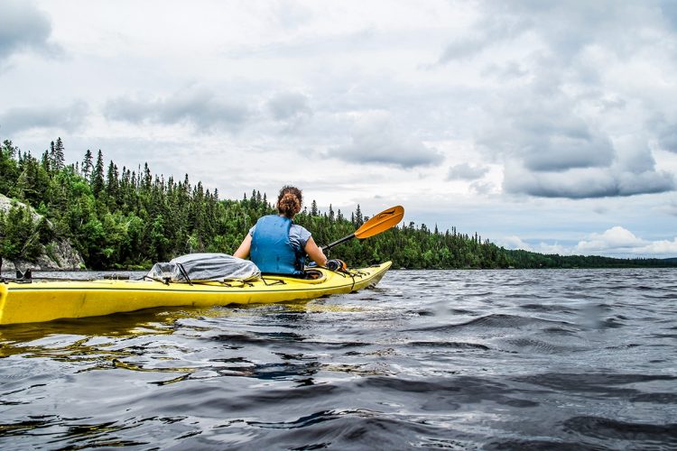
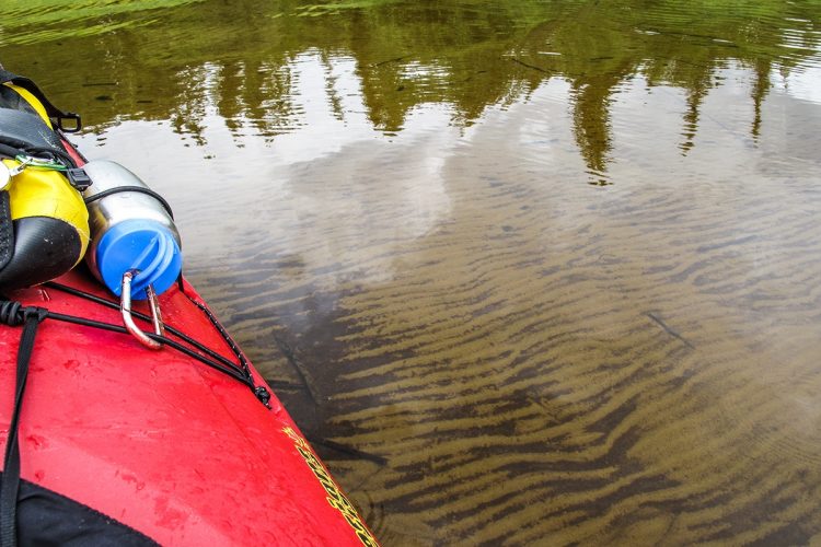
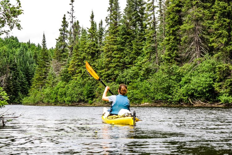
Bousquet Meander Paddling Trail
Rouyn-Noranda (McWatters), Rouyn-Noranda
Joannès Lake / Joannès Creek / Bousquet Lake / Bousquet River / Chassignol Lake / Preissac Lake
- electrocardiogram Moderate
- mountain 47.8 Km (Linear)
- calendar seasonal
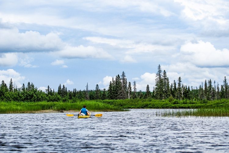
Sections
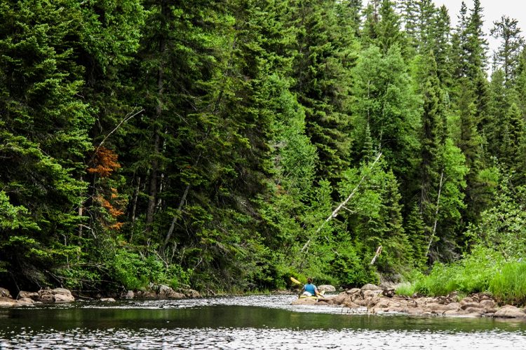
Joannès Lake
- electrocardiogram Easy
- mountain 3,5 km (Linear)
Access : Parc Aventure Joannès
Interest : Riverbanks, chalets and residences on the right side, spring water lake
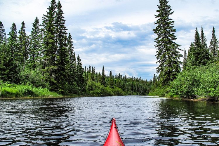
Joannès Creek
- electrocardiogram Very demanding
- mountain 3,1 km (Linear)
Access : By Joannes Lake
Interest : Very narrow and winding watercourses
Danger : Several culverts, many dams of beavers, jams and small dam to carry
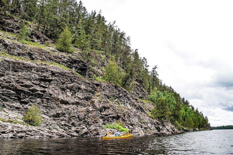
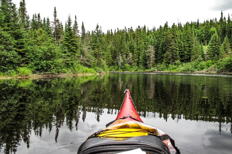
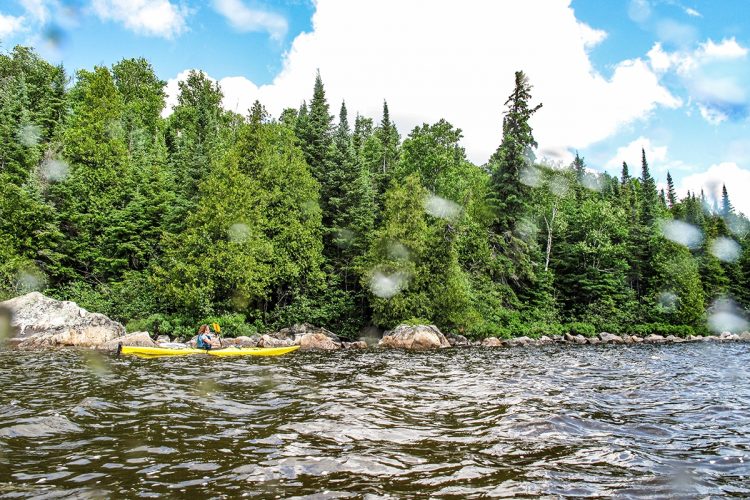
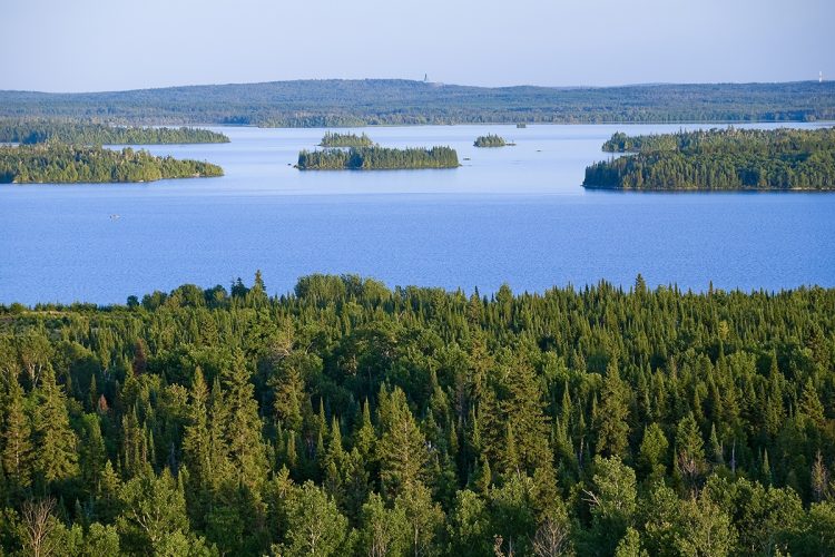
Bousquet Lake
- electrocardiogram Easy
- mountain 6,7 km (Linear)
Access : By the Joannès stream or the launching ramp of Bousquet lake
Interest : Water in length, clear water, dense forest, rocky escarpments, west part of the inhabited lake.
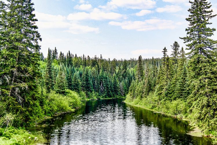
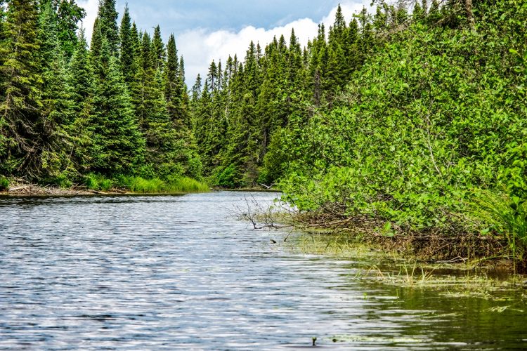
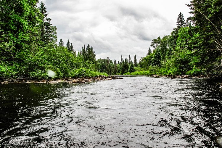
Bousquet River
- electrocardiogram Easy
- mountain 11,4 km (Linear)
Access : By Bousquet Lake
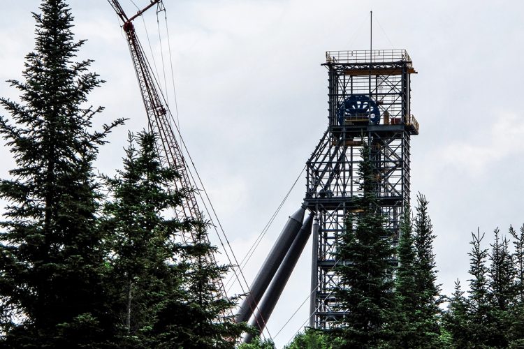
Interest : Sinuous body of water with a width of about 10 meters, mature forest, rather flat relief, mining, marshland, clay shore.
Danger : Small section of open water without carrying.
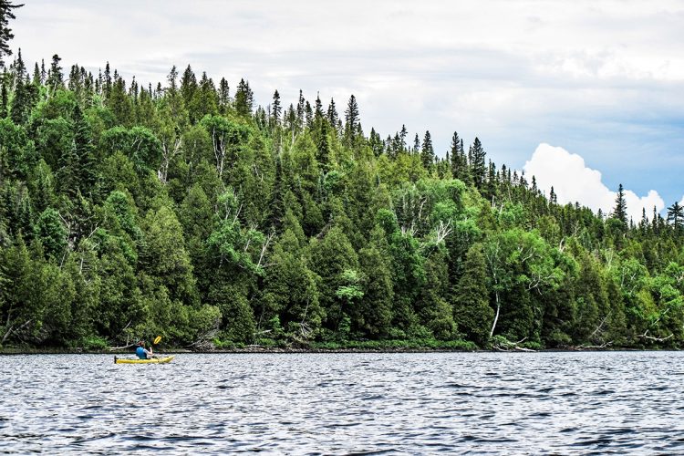
Chassignol Lake
- electrocardiogram Moderate
- mountain 4,5 km (Linear)
Access : By the Bousquet River
Interest : Large body of water, a few islands, dense forest, rocky shores, relatively wild environment.
Danger : Stormy water by strong wind.
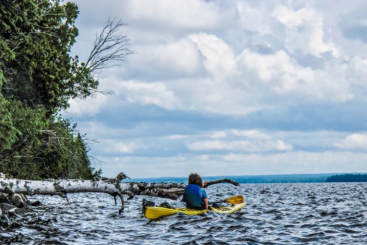
Preissac Lake
- electrocardiogram Moderate
- mountain 18 km (Linear)
Interest : Large body of water, a few islands, dense forest, rocky shores, small beaches, beautiful shore.
Danger : Stormy water by strong wind.
Points of service and interest
Category Name
-
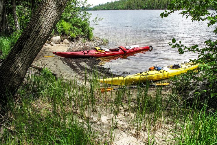
 Launching ramp
Mise à l’eau du Parc-Aventure Joannès
48°10'40.28”N
Launching ramp
Mise à l’eau du Parc-Aventure Joannès
48°10'40.28”N
78°40'29.344”O -
 Point of interest
Pont du chemin des Bouleaux, lac Joannès
48°12'27.631”N
Point of interest
Pont du chemin des Bouleaux, lac Joannès
48°12'27.631”N
78°40'23.938”O -
Point of interest
Pont du chemin Joannès-Vaudray
48°12'37.299”N
78°40'18.99”O -
 Barrage artificiel
Barrage du ruisseau Joannès
48°12'44.525”N
Barrage artificiel
Barrage du ruisseau Joannès
48°12'44.525”N
78°39'51.087”O -
 Sandy beach / Swimming
Petite plage du lac Bousquet
48°13'32.863”N
Sandy beach / Swimming
Petite plage du lac Bousquet
48°13'32.863”N
78°35'8.168”O -
Sandy beach / Swimming
Grande plage du lac Bousquet
48°13'46.661”N
78°34'13.811”O -
 Wild camping
Camping sauvage de la rivière Bousquet
48°15'25.472”N
Wild camping
Camping sauvage de la rivière Bousquet
48°15'25.472”N
78°29'25.635”O -
 Boat launching site
Mise à l’eau à l’aval du lac Bousquet, quartier McWatters à Rouyn-Noranda
48°13'46.157”N
Boat launching site
Mise à l’eau à l’aval du lac Bousquet, quartier McWatters à Rouyn-Noranda
48°13'46.157”N
78°34'13.811”O -
Eau vive de la rivière Bousquet
48°15'26.087”N
78°29'26.831”O -
Launching ramp
Mise à l’eau à l’amont du lac Bousquet, quartier McWatters à Rouyn-Noranda
48°12'59.818”N
78°38'54.944”O -
 Halte sur galet
Rive de galets du lac Chassignol
48°17'18.277”N
Halte sur galet
Rive de galets du lac Chassignol
48°17'18.277”N
78°28'45.007”O -
Wild camping
Camping sauvage du lac Preissac
48°20'2.829”N
78°21'28.244”O -
Wild camping
Camping sauvage du lac Bousquet
48°13'47.215”N
78°34'12.011”O -
Sandy beach / Swimming
Grande plage du lac Preissac
48°20'02.2"N
78°21'27.5"O -
Wild camping
Camping sauvage du lac Chassignol
48°17'27.567”N
78°29'25.933”O -
Halte sur galet
Rive de galets du lac Preissac
48°19'46.276”N
78°21'17.759”O -
Launching ramp
Rampe de mise à l’eau de la rivière Kinojévis à Preissac
48°24'2.468”N
78°21'50.054”O -
Pont d’un chemin carrossable non pavé
48°12'51.129”N
78°39'20.83”O -
Sandy beach / Swimming
Petite plage du lac Preissac
48°21'13.881”N
78°20'5.211”O -
Boat launching site
Mise à l’eau du terrain de camping du lac Preissac
48°20'2.161”N
78°21'27.149”O -
Launching ramp
Rampe de mise à l’eau du lac Preissac
48°17'4.226”N
78°26'58.674”O -
 Emergency exit
Chemin de fer
48°12'49.294”N
Emergency exit
Chemin de fer
48°12'49.294”N
78°39'23.778”O
Accessibility
Directions to the starting point
From Rouyn-Noranda, take route 117 south. Turn right on the chemin Joannès Vaudray (2.1 km). Turn left to continue on the Joannès Vaudray road. Turn right at the Chemin des Cèdres barrier and continue until you reach the Joannès Lake Forest Centre. 703, ch. des Cèdres, McWatters
Free private outdoor parking and launch ramp.Cedar Road Gate Hours:
from 9:30 a.m. to 5:30 p.m., every day of the summer season.
Position : 79°13'53,317"O 48°29'24,622"N
It is necessary to register at the reception before departure.
Directions to the point of arrival
From Amos, take the 395 South road. From Rouyn-Noranda and Val-d'Or, on the 117, take the 395 North road. In Preissac, cross the bridge over the rue des Rapides.
Turn right onto Main Avenue. Take the fork to the right until you reach the launch ramp. Free outdoor parking and launch ramp
Position : 78°21'50,054"O 48°24'2,468"N
Specifications
Topographic Maps
Topographic maps at a scale of 1/50,000 exist for the entire river course and we recommend that you use them in conjunction with this guide map.
32 D/2 Joannès Lake, Joannès Creek, Bousquet Lake, Bousquet River
32 D/8 Bousquet, Chassignol Lake, Preissac Lake, Kinojévis Lake
Total slope: 7 meters
Danger
Presence of several culverts, beaver dams, jams and a small dam on the Joannès stream. The Bousquet River flows at a low flow. It includes a small section of white water. Chassignol and Preissac Lakes are turbulent when there is strong wind.
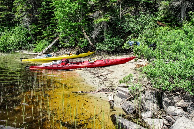
Campsite
Sufficient camping sites. They are spread out along the route and vary in quality.
Natural Environment
Géography
St. Lawrence watershed
Fauna
The course is known for its very diverse wildlife which includes, among others, black duck, kingfisher, great heron, great woodpecker, porcupine, red squirrel, beaver, muskrat, hare, weasel, marten, mink, striped skunk, otter, orignal, black bear, grey wolf, coyote, red fox, lynx.
Flora
The water bodies are located in the boreal forest in the area of white birch fir, which includes, among others, black spruce, balsam fir and hardwood.
Toponymy
Preissac Lake was named in honour of Joseph-Hyacinthe de Preissac, an officer of the Berry regiment who defended Quebec and participated in the Battle of Sainte-Foy during the Seven Years' War.
Comments social0
Tools ready to go
- map Guide map (PDF)
- mapsquare Download GPS track (GPX)
- Google driving directions
-
 Sunrise : 07:29
Sunset : 18:35
- pdf Planification
- pdf Equipement Canot
- pdf Trousse Canot
- pdf Autoevaluation Canot
- pdf Equipement Kayak
- pdf Trousse Kayak
- pdf Autoevaluation Kayak
- pdf Systemes Communications
- pdf Pmu Bousquet
- pdf Ps Bousquet
- pdf Trousses Premiers Soins
- pdf Sans Trace Apa
Info & advice
- Animation et interprétation
- Camping
- Care
- Carte et orientation
- Caution
- Classification
- Emergency
- Equipment
- Jamais sans mon chien
- Nutrition
-
Prevention
- 10 articles de première nécessité
- Bien s'hydrater
- Comment lire la météo dans les nuages? Faire la pluie et le beau temps !
- Connaître son groupe et son plan d’eau
- Éviter les mauvaises rencontres en milieu sauvage
- Feu de camp sécuritaire : trois étapes à respecter
- Insectifuges
- Les moustiques
- Lunettes de soleil
- MALADIE DE LYME : PRÉVENIR LES PIQÛRES DE TIQUE EN RANDONNÉE
- Perdu en forêt : quoi faire?
- Règles de sécurité en canot et en kayak
- Se protéger contre le soleil
- Signalisation nautique internationale
- Vaporisateur Chasse-ours
- Progression
- Réglementation
- Training
Caution
This sheet has been prepared from information provided by outdoor enthusiasts deemed sufficiently reliable and experienced. Errors or omissions are always possible and Tourisme Abitibi-Témiscamingue cannot accept responsibility for any problem or accident that may arise from this sheet or be attributed to its use. If you notice any errors or omissions during your expedition, we would be very grateful if you would let us know by email pleinair@atrat.org in order to keep our information up to date.
