From Rouyn-Noranda, take Route 101 Nord towards the D'Alembert district. Turn left on Route 393 Nord towards Duparquet. In the municipality of Duparquet, turn left onto Chemin du Moulin. Keep left until you reach the launch ramp on Lac Duparquet.
From La Sarre, take road 393 south towards Duparquet. At the intersection in the municipality of Duparquet, continue straight ahead on the chemin du Moulin.
Free public outdoor parking and launch ramp Position : 79°13'53,317"O 48°29'24,622"N
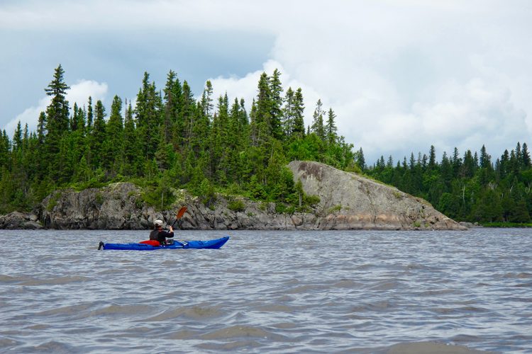
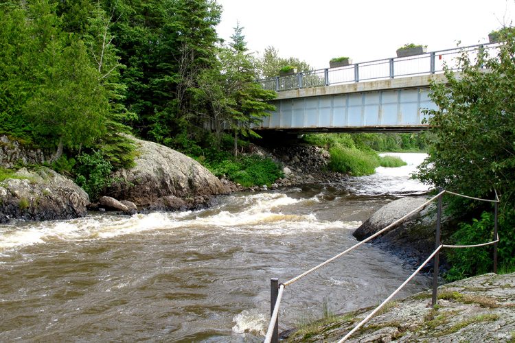
The Rapide-Danceur is active between large rock walls.
Prepared portage trail.
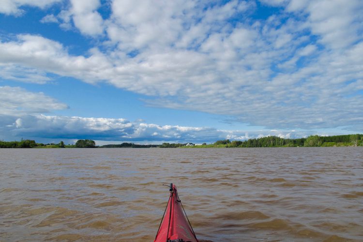
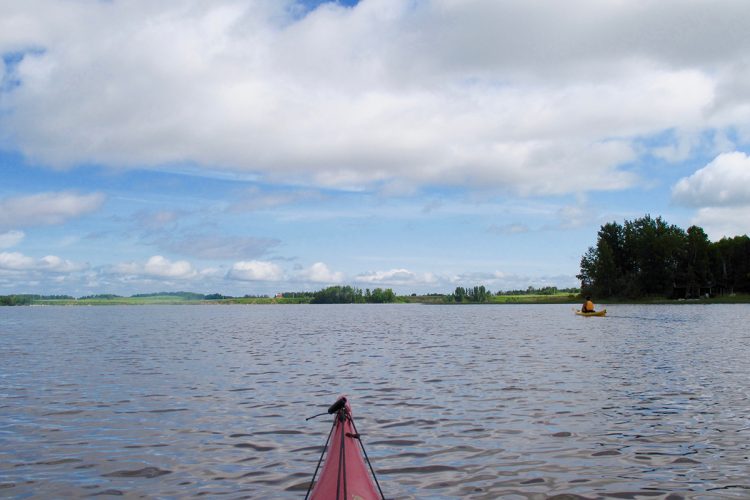
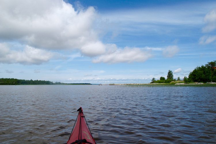
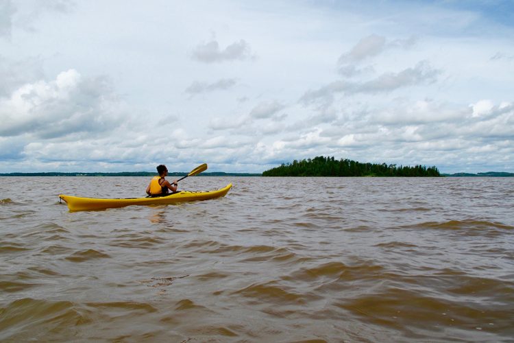
Lake Abitibi is rough with strong winds.
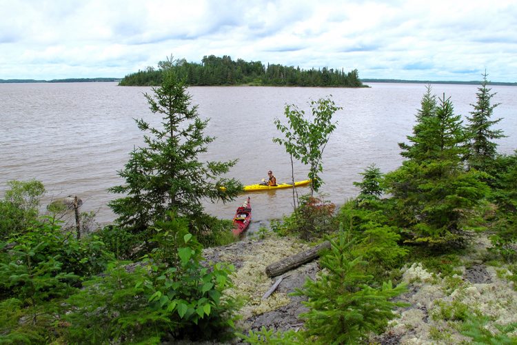
Campsite
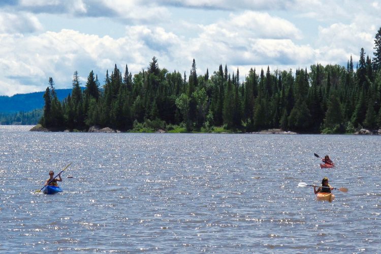
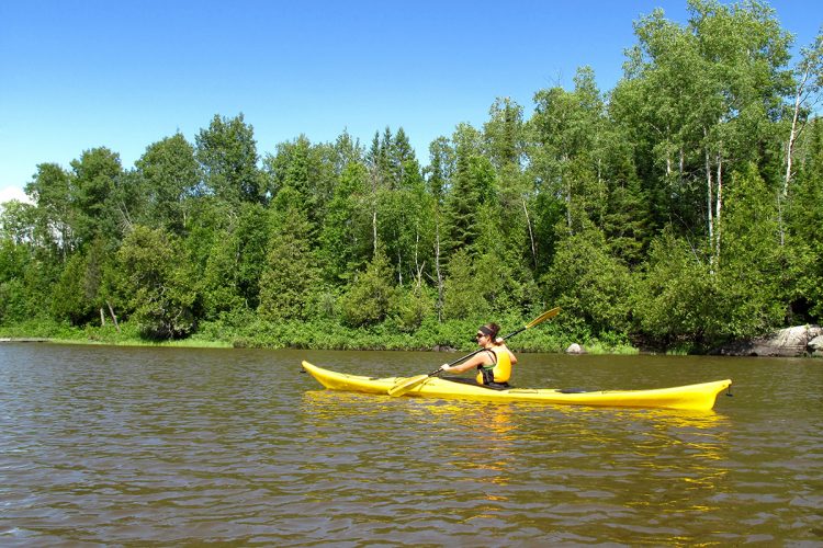
Sufficient camping sites. They are spread out along the route and vary in quality.
Human presence
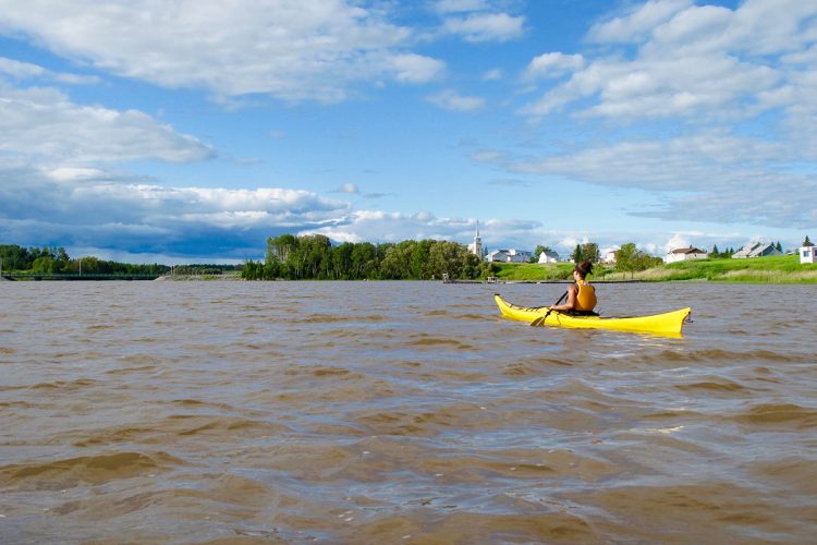
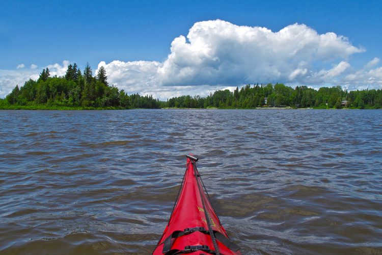
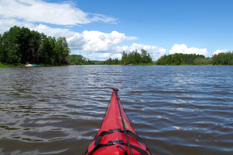
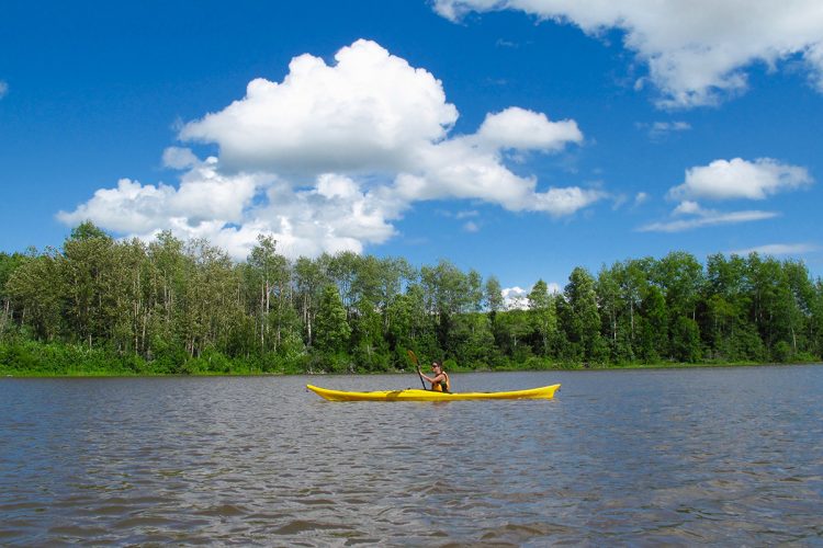
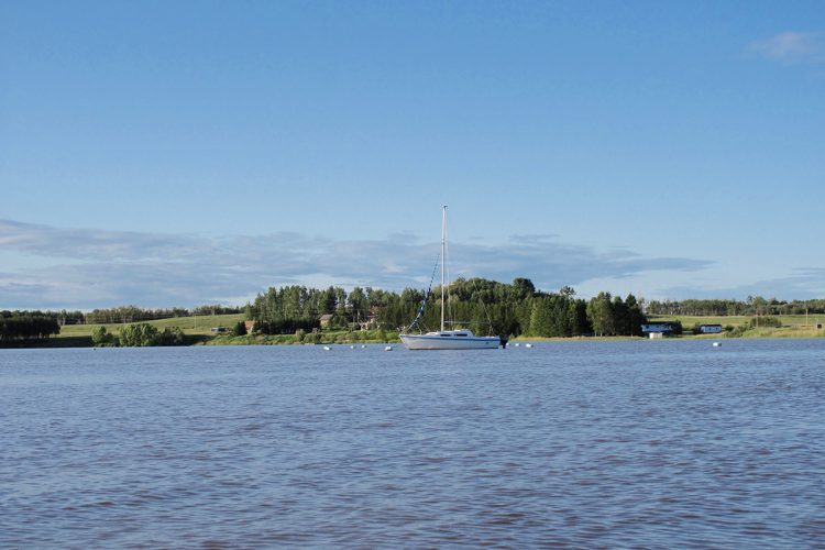
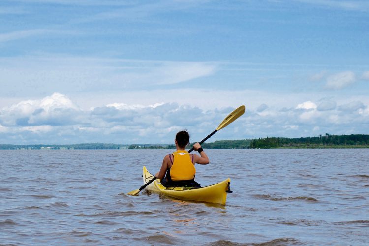
Motorboat traffic.
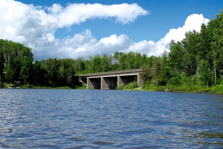
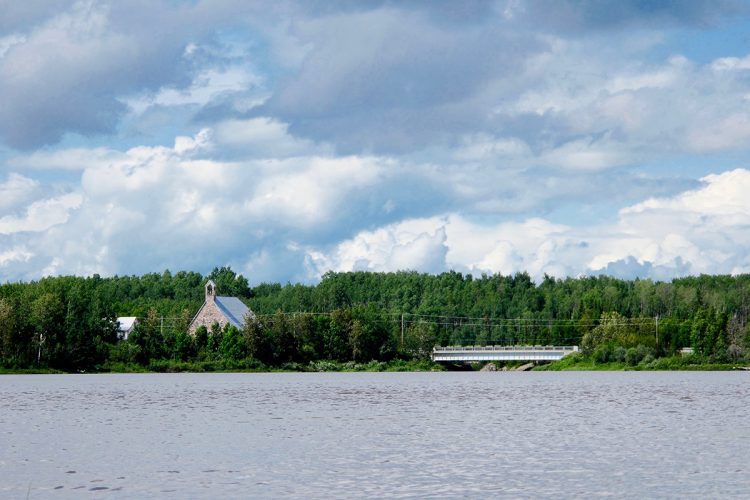
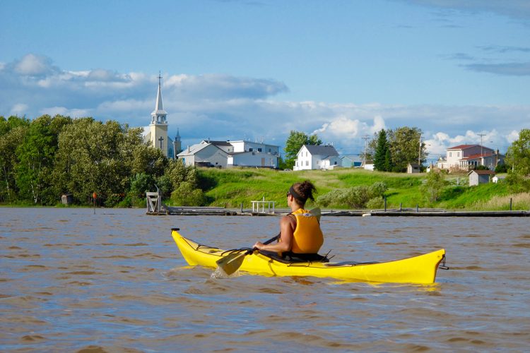
Heavy concentration of houses on the banks along the river.
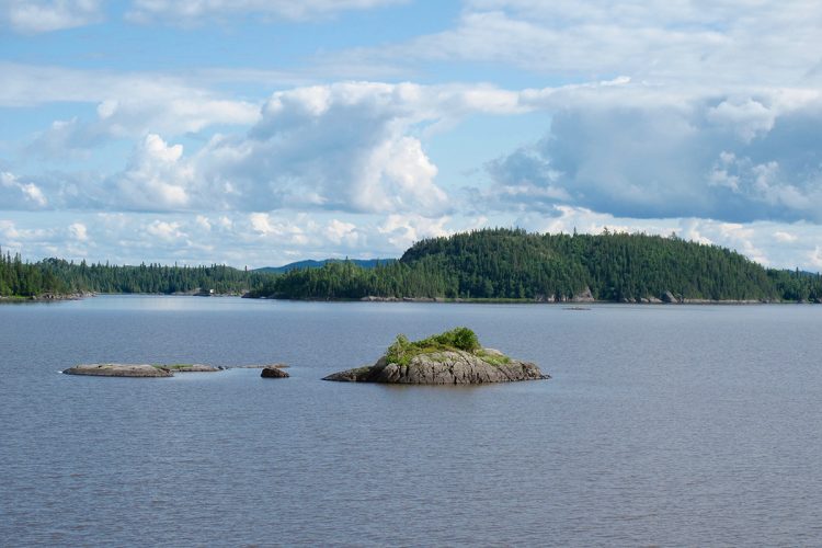
Natural Environment
History
Located at the southern edge of the Hudson Bay watershed, the road has long been a popular passage for the Algonquins between the Ottawa River and Abitibi Lake. It is the road the Chevalier de Troyes is said to have taken to drive the British from the shores of Abitibi Lake in 1686.
From the 18th century onwards, the Abitibi Lake sector was at the center of the Franco-English rivalry for control of the fur trade. In 1686, the Chevalier de Troyes drove the English and the Hudson's Bay Company from their military and commercial positions on Hudson Bay. He also built a fort on the eastern shore of Abitibi Lake, which remained active until the Conquest. The North West Company then took over, followed by the Hudson's Bay Company, which maintained a trading post there until 1922. The forestry industry would long use Abitibi Lake for floating logs and as a timber gathering point.
Geography
James Bay Watershed
Duparquet Lake is one of the most beautiful lakes in Abitibi-Témiscamingue, covering an area of 12 km². It has approximately 140 islands, three of which are ecological reserves. On Île aux Vieux-Arbres, cedar trees about 800 years old grow. These are the oldest trees on the American continent. A heronry with dozens of nests is also located on this island. The largest is Île Mouk-Mouk, the origin of a popular expression in Quebec referring to the end of the world.
Abitibi Lake is a vast body of water covering an area of 878 km², located mainly in Ontario and forming an important part of the James Bay watershed.
Wildlife
The trail is known for its diverse wildlife, including, among others, black duck, kingfisher, great blue heron, pileated woodpecker, porcupine, red squirrel, beaver, muskrat, hare, weasel, marten, mink, striped skunk, otter, moose, black bear, gray wolf, coyote, red fox, lynx.
Flora
The bodies of water are located in the boreal forest in the domain of the white birch fir forest which includes, among others, balsam fir, black spruce, trembling aspen and birch.
Toponymy
Duparquet Lake and River take their name from the canton in which they are located. The name honors the memory of a grenadier captain in the Sarre Regiment, which was part of General Montcalm's army.
This sheet has been prepared from information provided by outdoor enthusiasts deemed sufficiently reliable and experienced. Errors or omissions are always possible and Tourisme Abitibi-Témiscamingue cannot accept responsibility for any problem or accident that may arise from this sheet or be attributed to its use. If you notice any errors or omissions during your expedition, we would be very grateful if you would let us know by email pleinair@atrat.org in order to keep our information up to date.
Ce fichier texte est en format GPX. Il contient les données de traces et de points de navigation (waypoints). Il peut être visualisé via un éditeur de texte. Téléchargez gratuitement le gratuiciel GPS Babel pour importer le fichier contenant les traces et les points de navigation dans votre GPS.
Dans la section INPUT, sélectionner « Fichier ». Dans la rubrique Format, à l’aide de la liste déroulante, « GPX XML ». Cliquer sur le bouton File Name(s) pour accéder au fichier GPX téléchargé dans l’ordinateur.
Dans la section Translation Options, sélectionner « Waypoints » et « Traces ».
Brancher le GPS à l’ordinateur à l’aide d’un câble USB.
Dans la section Sortie, sélectionnez « Périphérique ». Choisir le format correspondant à la marque du GPS. Dans la rubrique Nom de périphérique, sélectionner « usb : ».

 Parking
Stationnement de la rampe de mise-à-l'eau du lac Duparquet
48°29'24,506"N
Parking
Stationnement de la rampe de mise-à-l'eau du lac Duparquet
48°29'24,506"N Launching ramp
Rampe de mise à l’eau du lac Duparquet
48°29'24.028”N
Launching ramp
Rampe de mise à l’eau du lac Duparquet
48°29'24.028”N Wild camping
Camping sauvage (île) du lac Duparquet
48°28'30.802”N
Wild camping
Camping sauvage (île) du lac Duparquet
48°28'30.802”N Point of interest
Grotte du lac Duparquet
48°30'33.503”N
Point of interest
Grotte du lac Duparquet
48°30'33.503”N Sandy beach / Swimming
Plage de l’île Fer à cheval
48°30'2.921”N
Sandy beach / Swimming
Plage de l’île Fer à cheval
48°30'2.921”N Boat launching site
Mise à l'eau de la halte routière de Rapide-Danseur
48°31'1,057"N
Boat launching site
Mise à l'eau de la halte routière de Rapide-Danseur
48°31'1,057"N Paid municipal campsite stopover
Camping de la halte routière de Rapide-Danseur
48°31'02.0"N
Paid municipal campsite stopover
Camping de la halte routière de Rapide-Danseur
48°31'02.0"N Carrying
Portage des Rapide-Danseur
48°33'5.359”N
Carrying
Portage des Rapide-Danseur
48°33'5.359”N Picnic table
Halte de pique-nique
48°33'8,364"N
Picnic table
Halte de pique-nique
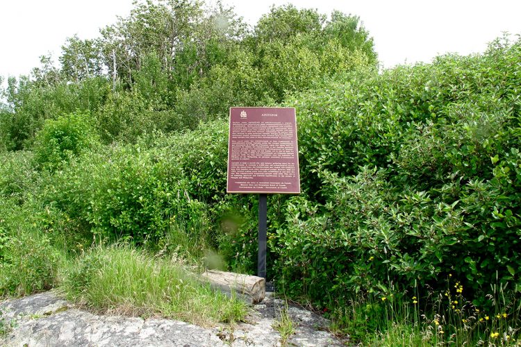
48°33'8,364"N Anicinabe culture
Site sacré Abitipik
48°39'54.686”N
Anicinabe culture
Site sacré Abitipik
48°39'54.686”N Halte sur galet
Halte de l'île Kakigahodeg
48°41'10.204”N
Halte sur galet
Halte de l'île Kakigahodeg
48°41'10.204”N Topographic Maps
 Water level
 Danger, fast and carry
 Campsite
 Human presence
 Sunrise : 07:30