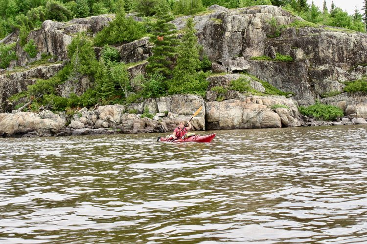
Kanasuta Paddling Trail
Kanasuta Paddling Trail
Rouyn-Noranda (Arntfield), Rouyn-Noranda
- electrocardiogram Moderate
- mountain 49.1 Km (Linear)
- calendar seasonal
Sections
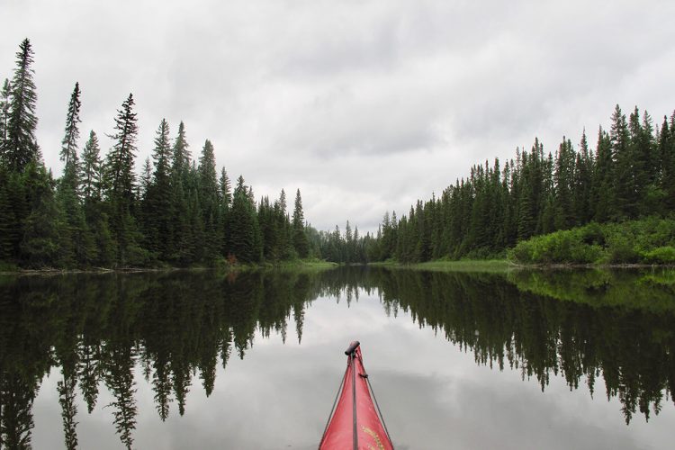
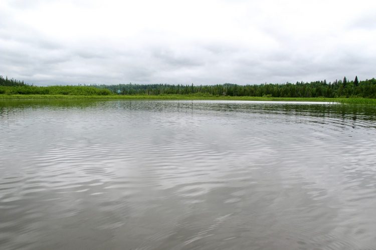
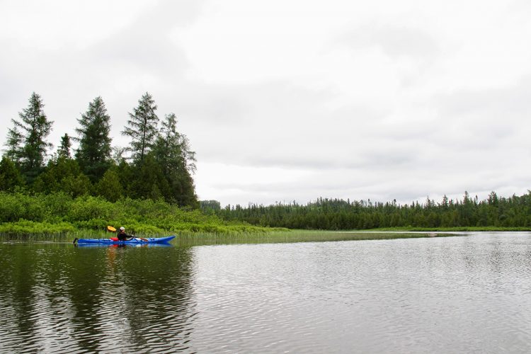
Lac Kanasuta
- electrocardiogram Easy
- mountain 17.33 km (Linear)
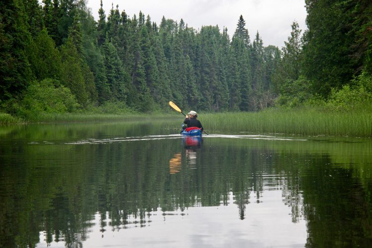
Rivière Kanasuta
- electrocardiogram Easy
- mountain 23.13 km (Linear)
Portage des trois rapides
- electrocardiogram Easy
- mountain 1.13 km (Linear)
Portage Kanasuta
- electrocardiogram Easy
- mountain 0.12 km (Linear)
Lac Duparquet
- electrocardiogram Easy
- mountain 8.71 km (Linear)
Points of service and interest
Category Name
-
Launching ramp Rampe de mise à l’eau de la Pourvoirie & Marina des trois lacs du lac Kanasuta, quartier Arntfield à Rouyn-Noranda 48°11'6.615”N
79°21'9.781”O -
Wild camping Camping sauvage du lac Kanasuta 48°16'37.845”N
79° 23'14.426”O -
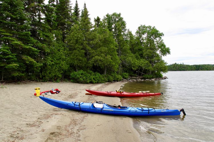
Sandy beach / Swimming Grande plage du lac Kanasuta (3e lac) 48°16'39.88”N
79°23'15.335”O -
Sandy beach / Swimming Petite plage du lac Kanasuta (3e lac) 48°16'43.567”N
79°23'42.144”O -
Barrage artificiel Barrage des trois rapides 48°19'3.624”N
79°24'58.478”O -
Carrying Portage des trois rapides 48°18'46.3"N
79°24'32.2"O -
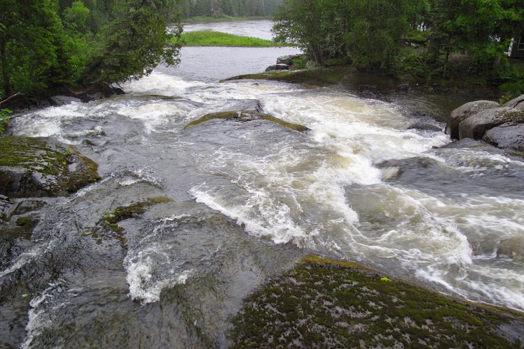
Rapids Rapide 1 des trois rapides 48°19'03.9"N
79°24'59.3"O -
Rapids Rapide 2 des trois rapides 48°19'11.6"N
79°24'52.3"O -
Rapids Rapide 3 des trois rapides et chute en cascade 48°19'17.8"N
79°24'32.2"O -
Fall / waterfall Chute 48°19'21.1"N
79°24'30.6"O -
Carrying Portage aval des trois rapides 48°19'21.9"N
79°24'28.2"O -
Hunting camp Camp de chasse 48°21'29.1"N
79°22'36.2"O -
Hunting camp Camp de chasse 48°19'21.7"N
79°24'29.0"O -
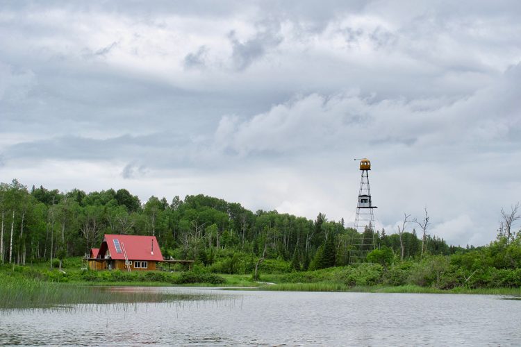
Hunt tower Tour de chasse du Fer à Cheval 48°21'05.4"N
79°22'49.7"O -
Hunting camp Camp de chasse du lac de la Chaudière 48°23'14.8"N
79°22'26.4"O -
Carrying Portage du rapide Kanasuta 48°24'28.5"N
79°21'39.3"O -
Rapids Rapide Kanasuta 48°24'26.6"N
79°21'38.2"O -
Carrying Portage amont du rapide Kanasuta 8°24'28.5"N
79°21'39.2"O -
Hunting camp Camp de chasse face au rapide Canasta 48°24'36.0"N
79°21'34.6"O -
Launching ramp Mise à l’eau du chemin de la faune de la rivière Kanasuta, quartier Arntfield à Rouyn-Noranda (chemin de la Faune) 48°24'37.6"N
79°21'08.4"O -
Hunting camp Camp de chasse 48°25'03.4"N
79°19'53.9"O -
Hunting camp Camp de chasse 48°25'49.0"N
79°19'56.0"O -
Hunting camp Chalet privé 48°26'43.9"N
79°18'33.4"O -
Wild camping Camping sauvage (île) du lac Duparquet 48°28'30.802”N
79°16'36.573”O -
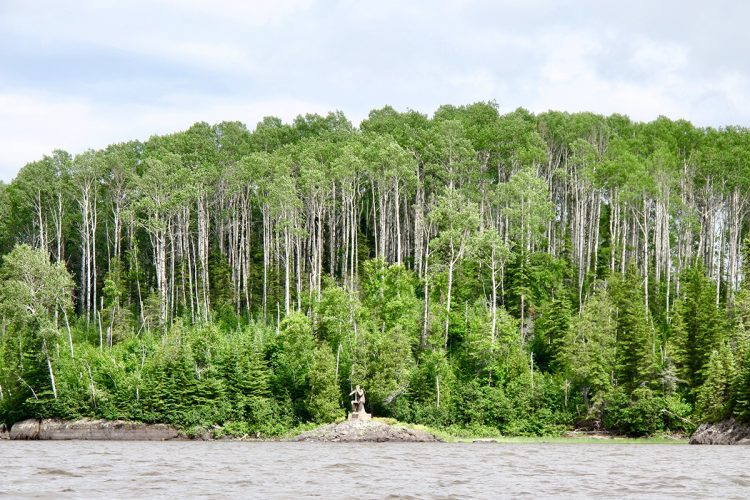
Point of interest Statue of Moukmouk island 48°26'57.665”N
79° 15'43.618”O -
Point of interest Petite plage de l'île Moukmouk 48°27'1.949”N
79°15'52.998”O -
Launching ramp Rampe de mise à l’eau du lac Duparquet 48°29'24.028”N
79°13'51.222”O
Accessibility
Directions to the starting point
From Rouyn-Noranda, take Route 117 North. At the junction of routes 117 Nord and 101 Sud (route Ville-Marie - Rouyn-Noranda), turn right onto route 117 Nord. Turn right on the Kanasuta Lake Road towards the Three Lakes Outfitter & Marina.
Free private outdoor parking and launch ramp.
Position : 79°13'53,317"O; 48°29'24,622"N
Indications pour atteindre le point d'arrivée
From Rouyn-Noranda, take Route 101 Nord towards the D'Alembert district. Turn left on Route 393 Nord towards Duparquet. In the municipality of Duparquet, turn left on the chemin du Moulin. Always keep left until the launching ramp of Duparquet Lake.
From La Sarre, take road 393 south towards Duparquet. At the intersection in the municipality of Duparquet, continue straight ahead on the chemin du Moulin.
Free public outdoor parking and launching ramp.
Position : 79°13'53,317"O; 48°29'24,622"N
Specifications
Topographic Maps
Topographic maps at a scale of 1/50,000 exist for the entire river course and we recommend that you use them in conjunction with this guide map.
32 D/3 Kanasuta Lake (north)
32 D/6 Kanasuta Lake (South), Kanasuta River, Duparquet Lake
Total slope: 13 metres, 0.03%
Danger, fast and carry
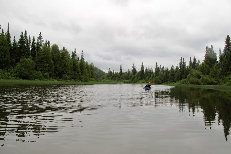
Lakes with several islands, protected waters, short navigation time between the islands. Difficult orientation due to the large number of islands.
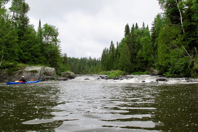
Presence of many surface rocks in the rapids making the descent difficult depending on the water level.
Well-maintained portage trails.
Campsite
Sufficient camping sites. They are spread out along the route and vary in quality.
Natural Environment
Geography
James Bay watershed
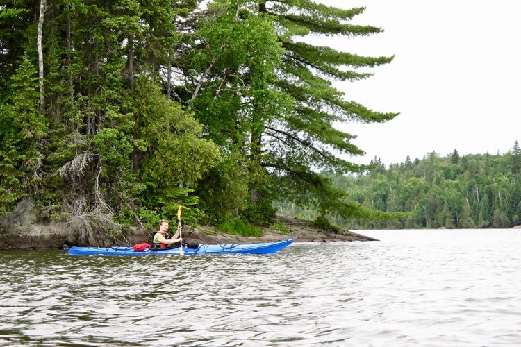
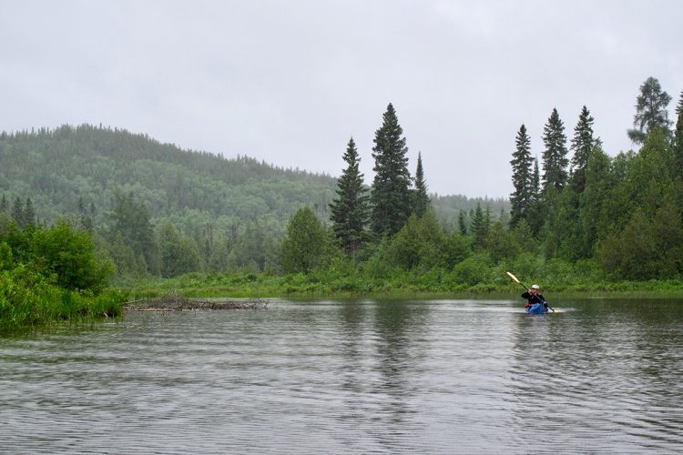
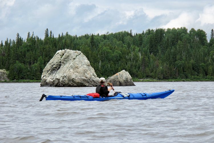
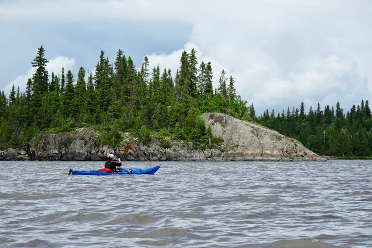
The Kanasuta River flows northward, originates at Lake Kanasuta and empties into Lake Duparquet.
Kanasuta Lake is located just north of the water divide and flows into James Bay.
It includes a cluster of eight lakes. The three main lakes are Berthemet, Desvaux and Dasserat, which are commonly referred to as "first", "second" and "third" lakes respectively. The group of these is called Kanasuta Lake and is served by three (3) main rivers: the Kanasuta River, the Clarice River and the Dasserat River. Known for fishing and recreation, Lake Kanasuta has more than 300 cottages, 2 outfitters and 2 marinas on its shores.
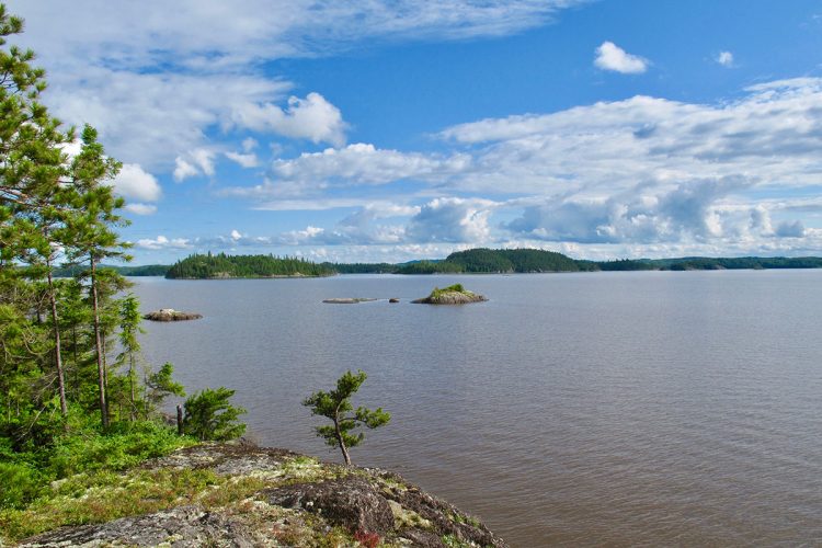
The Duparquet Lake is one of the most beautiful lakes in Abitibi-Témiscamingue with its area of 12 km 2. There are about 140 islands, including 3 ecological reserves. On the Île aux Vieux-Arbres, thuyas grow around 800 years old. The oldest trees in the Americas. A heronier with dozens of nests can also be found on this island. The largest is Mouk-Mouk Island, which is the origin of a popular expression in Quebec to speak of the end of the world.
Fauna
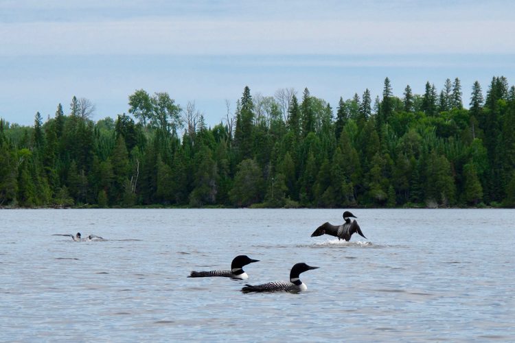
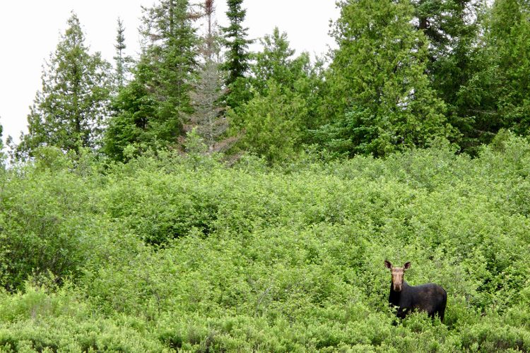
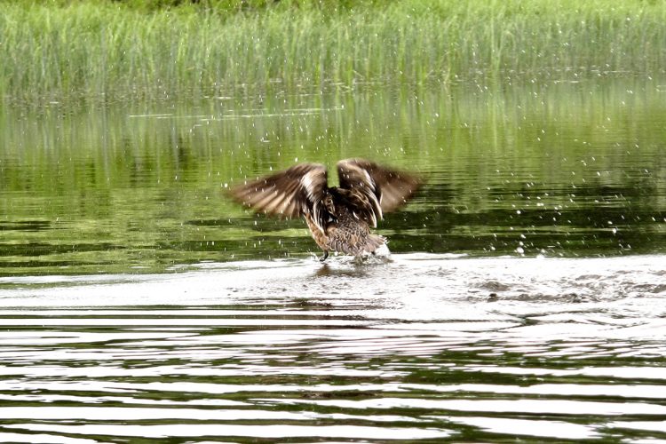
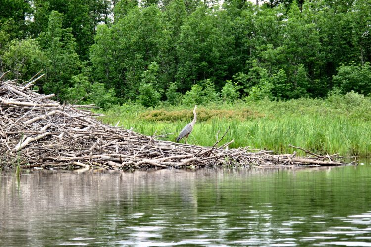
The course is known for its very diverse fauna which includes, among others, black duck, fisherman, large heron, large peak, porcepice, red squirrel, beaver, musky rat, hare, marten, mink, mink, striped skunk, otter, mocalon, black bear, gray wolf, coyote, red fox, lynx.
Flora
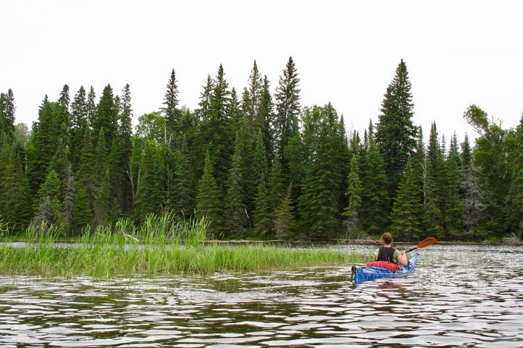
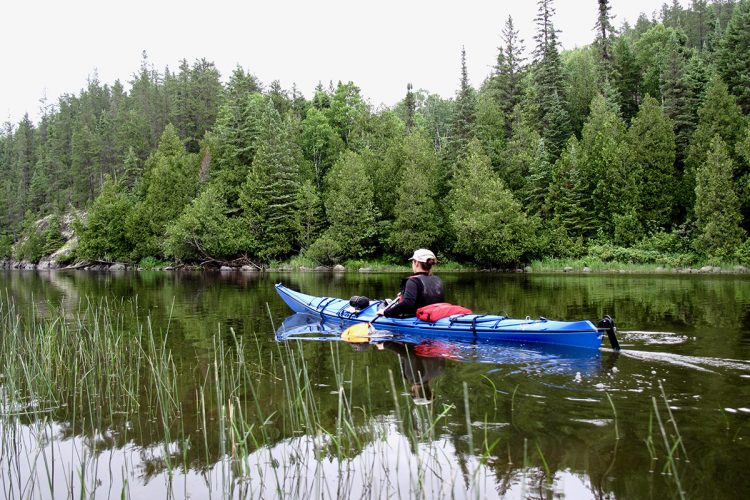
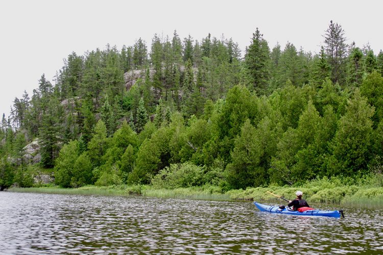
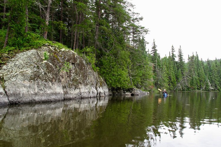
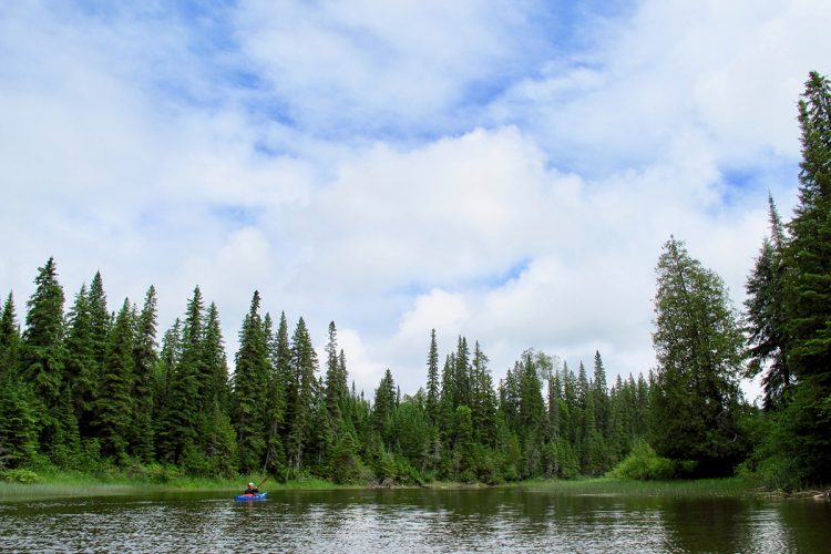
The water bodies are located in boreal forest in the areas of the yellow birch and white birch fir sapinières which include, inter alia, black spruce, balsam fir, larch, pine and broadleaves). Thuyas over 500 years old, including one of almost 1,000 years old, are growing on the islands of Lake Duparquet, three of which have been transformed into ecological reserves. Dry conditions have contributed to slow and dense growth, protecting them from insects, diseases, fungi and beavers that prefer softer wood. The isolation on the islands has ensured that trees are protected from forest fires. Several small natural stands dominated by red pine occupy certain islets or peninsulas around Lake Duparquet. These are remote locations, taking into account the natural range of this species. This red pine tree is an exceptional forest ecosystem for Quebec due to its great rarity in the boreal forest area, the occasional presence of white pine, another rare species at this latitude.
History
Located on the southern edge of the Hudson Bay watershed, the route has long been a steep passage by the Algonquins between the Ottawa River and Lake Abitibi. This is the path that the Knight of Troyes would have adopted to drive the British away from the shores of Lake Abitibi in 1686. Indeed, Amerindian or European travellers changed their watershed by passing by carrying the few kilometres between Opasatica Lake and Lake Kanasuta.
The discovery in 1912 of a rich gold vein by a prospector named Beattie who would give his name to the mining company Beattie Gold Mine, led to the creation of the town of Duparquet in 1933.
Toponymy
The name Kanasuta means Algonquin language "You see three fasts"
Lake Duparquet takes its name from the canton in which it is located. The name honors the memory of a grenadiers' captain at the Saarland Regiment, which was part of General Montcalm's army.
Comments social0


