
Temiscamingue Fjord Paddling Trail
Temiscamingue Fjord Paddling Trail
Ville-Marie, Témiscamingue
Témiscamingue Lake
- electrocardiogram Very demanding
- mountain 78 Km (Linear)
- calendar seasonal
Sections
TrajetLacTémiscamingueSection2
- electrocardiogram Easy
- mountain 78.08 km (Linear)
Points of service and interest
Category Name
-
 Refueling
Provigo
47°20'27.798"N
Refueling
Provigo
47°20'27.798"N
79°26'10.622"O -
 Repair
Go Sport
(12,rue Ste-Anne, Ville-MarieT 819 629-2590)
47°19'50.703''N
Repair
Go Sport
(12,rue Ste-Anne, Ville-MarieT 819 629-2590)
47°19'50.703''N
79°26'26.683''O -
 Guiding Adventure
Coop de l'Arrière-Pays
47°19'58.512"N
Guiding Adventure
Coop de l'Arrière-Pays
47°19'58.512"N
79°26'15.108"O -
 Point of interest
Théâtre du Rift
47°19'51.527”N
Point of interest
Théâtre du Rift
47°19'51.527”N
79°26'22.613”O -
 Heritage visit
Maison du Frère-Moffet
47°19'54.407”N
Heritage visit
Maison du Frère-Moffet
47°19'54.407”N
79°26'34.283”O -
 Agrotourism
Chocolats Martine
47°19'46.882”N
Agrotourism
Chocolats Martine
47°19'46.882”N
79°26'35.499”O -
 Launching ramp
Marina municipale de Ville-Marie
(7, rue Sainte-Anne Ouest)
47°19'46.062”N
Launching ramp
Marina municipale de Ville-Marie
(7, rue Sainte-Anne Ouest)
47°19'46.062”N
79°26'37.915”O -
 Parking
Stationnement de la marina de Ville-Marie
47°19'47.8"N
Parking
Stationnement de la marina de Ville-Marie
47°19'47.8"N
79°26'38.2"O -
Heritage visit
Lieu historique national du Canada du Fort-Témiscamingue
47°17'19.8”N
79°27'40.7”O -
 Dock
Quai du complexe récréotouristique La Bannik
(862, chemin du Vieux-Fort, Duhamel-Ouest)
47°17'26.2"N
Dock
Quai du complexe récréotouristique La Bannik
(862, chemin du Vieux-Fort, Duhamel-Ouest)
47°17'26.2"N
79°27'12.0"O -
 Bike for rent
Plage La Bannik
47°17'26.2"N
Bike for rent
Plage La Bannik
47°17'26.2"N
79°27'13.5"O -
Point of interest
Vue sans fin vers le nord du lac Témiscamingue
47°17'6.816”N
79°27'43.036”O -
Dock
Quai municipal de la rivière blanche
47°17'05.3"N
79°24'38.2"O -
 Boat launching site
Mise à l'eau de la rivière Blanche
47°17'05.2"N
Boat launching site
Mise à l'eau de la rivière Blanche
47°17'05.2"N
79°24'38.1"O -
 Sandy beach / Swimming
Plage du quai public de Fabre
47°15'02.6"N
Sandy beach / Swimming
Plage du quai public de Fabre
47°15'02.6"N
79°24'21.0"O -
 Covered picnic table
Halte routière de Fabre
47°15'02.5"N
Covered picnic table
Halte routière de Fabre
47°15'02.5"N
79°24'17.9"O -
 Toilet
tes sèches de la halte routière de Fabre
47°15'04.0"N
Toilet
Toilettes sèches de la halte routière de Fabre
47°15'04.0"N
79°24'18.2"O -
Parking
Stationnement de la rampe de mise à l'eau de Fabre
47°11'55.1"N
79°24'46.8"O -
Launching ramp
Rampe de mise à l’eau du quai public de Fabre
47°11'54.601”N
79°24'45.584”O -
 Wild camping
Camping sauvage sur l'île près de la rampe de mise à l'eau de Fabre
47°10'44.565”N
Wild camping
Camping sauvage sur l'île près de la rampe de mise à l'eau de Fabre
47°10'44.565”N
79°25'18.01”O -
Point of interest
Centrale Hydro-Ontario (Lower Notch)
47°08'19.3"N
79°27'14.3"O -
Sandy beach / Swimming
Sandbar Island
47°07'21.6"N
79°27'28.5"O -
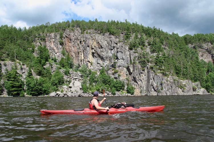
 Rocky escarpment
Escarpement rocheux
47°04'59.0"N
Rocky escarpment
Escarpement rocheux
47°04'59.0"N
79°25'33.6"O -
Wild camping
Camping sauvage de la baie à Bastien
47°4'34,478"N
79°25'2,217"O -
Wild camping
Camping sauvage
47°4'15,699"N
79°24'37,938"O -
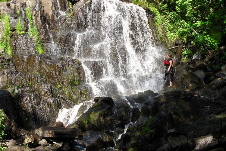
 Fall / waterfall
Site Topping, décharge de la rivière Kipawa (rapide hollywood)
47°2'59.086”N
Fall / waterfall
Site Topping, décharge de la rivière Kipawa (rapide hollywood)
47°2'59.086”N
79°23'19.971”O -
 Picnic table
Table à pique-nique du secteur de la Rivière-Kipawa
47°02'47.9"N
Picnic table
Table à pique-nique du secteur de la Rivière-Kipawa
47°02'47.9"N
79°23'10.9"O -
Dock
Quai du secteur de la Rivière-Kipawa
47°02'47.8"N
79°23'10.0"O -
 Canoe for rent
Canots à louer du secteur de la Rivière-Kipawa
47°02'47.9"N
Canoe for rent
Canots à louer du secteur de la Rivière-Kipawa
47°02'47.9"N
79°23'10.4"O -
 Hiking
Sentier pédestres du secteur de la Rivière-Kipawa
47°02'48.9"N
Hiking
Sentier pédestres du secteur de la Rivière-Kipawa
47°02'48.9"N
79°23'09.6"O -
 Ready-to-camp for rent
Prêt-à-camper du secteur de la Rivière-Kipawa (parc national d'Opémican)
47°02'30.3"N
Ready-to-camp for rent
Prêt-à-camper du secteur de la Rivière-Kipawa (parc national d'Opémican)
47°02'30.3"N
79°22'48.9"O -
 Paid wild camping
Camping rustique du parc national d'Opémican (secteur de la Rivière-Kipawa)
47°02'25.2"N
Paid wild camping
Camping rustique du parc national d'Opémican (secteur de la Rivière-Kipawa)
47°02'25.2"N
79°22'33.6"O -
Paid wild camping
Camping du long portage (lac Témiscamingue)
47°0'17,762"N
79°20'5,887"O -
Wild camping
Camping sauvage des hauteurs
46°58'24,985"N
79°19'34,634"O -
Fall / waterfall
Chute verticale de 20 pieds de hauteur
46°57'54.806”N
79°19'12.874”O -
Fall / waterfall
Chute en cascade de 25 pieds
46°57'34.364”N
79°19'7.879”O -
Rocky escarpment
Escarpement rocheux
47°02'11.5"N
79°22'30.1"O -
Fall / waterfall
Chute en cascade
46°55'51.176”N
79°18'6.967”O -
Wild camping
Camping sauvage
46°56'4,232"N
79°18'24,893"O -
Fall / waterfall
Ruisseau d’eau vive
46°55'16.782”N
79°17'15.165”O -
Fall / waterfall
Petite chute
46°54'44.627”N
79°16'52.394”O -
Rocky escarpment
Falaises
46°55'2.362”N
79°17'12.027”O -
Rocky escarpment
Falaise
46°56'8.908”N
79°18'26.879”O -
Rocky escarpment
Falaises oranges
46°55'51.91”N
79°18'9.628”O -
 Carrying
Portage vers la chute de la baie McLauren's (Ontario)
46°50'32,905"N
Carrying
Portage vers la chute de la baie McLauren's (Ontario)
46°50'32,905"N
79°14'55,216"O -
Fall / waterfall
Chute de la baie McLaren's (Ontario)
46°50'33,88"N
79°14'56,873"O -
Parking
Stationnement de la rampe de mise à l'eau du chemin Ceder-Pine
46°50'15.3"N
79°12'50.5"O -
Launching ramp
Rampe de mise à l'eau du chemin Cedar-Pine
46°50'15,499"N
79°12'52,451"O -
Ready-to-camp for rent
Prêt-à-camper Étoile, secteur des Remorqueurs (boucle C)
46°50'0,924"N
79°11'48,665"O -
 Reception et services
Opémican
46°49'54.872”N
Reception et services
Opémican
46°49'54.872”N
79°11'29.756”O -
Mise à l’eau du site Opémican à Témiscaming
46°50'3.817”N
79°11'31.3”O -
Rocky escarpment
Plage de la baie d’Opémican
46°49'58.5”N
79°11'21.759”O -
Launching ramp
Rampe de mise à l'eau
46°50'16,784"N
79°10'34,637"O -
Wild camping
Camping sauvage de la presqu'île de Témiscaming
46°44'13.328”N
79°7'10.618”O -
 Halte sur galet
Aire de repos de la presqu'île de Témiscaming
46°43'26.492”N
Halte sur galet
Aire de repos de la presqu'île de Témiscaming
46°43'26.492”N
79°6'33.212”O -
 Paid municipal campsite stopover
Camping urbain de Témiscaming
46°43'07.5"N
Paid municipal campsite stopover
Camping urbain de Témiscaming
46°43'07.5"N
79°06'18.2"O -
Parking
Stationnement de la marina de Témiscaming
46°43'08.2"N
79°06'18.7"O -
Launching ramp
Marina de Témiscaming Sud (Rue de la Marina, Témiscaming)
46°43'08.9"N
79°06'19.2"O -
Canoe for rent
Algonquin Canoe Company Témiscaming (Île du Long Sault
, Thorne, Ontario)
46°42'34.379”N
79°6'6.229”O -
Launching ramp
Marina de l'île Long Sault
46°42'27,982"N
79°6'4,284"O -
Refueling
IGA Témiscaming
46°44'04.3"N
79°03'52.8"O
Accessibility
 Service de navette
![]()
Are you looking for transportation to get to the starting point of this dream journey? Do you have only one vehicle and would like to have it transported from the starting point to the finishing point? Coop de l’Arrière Pays offers a road transport service.
 Directions to the starting point
VILLE-MARIE MARINA
In Ville-Marie, turn right onto Sainte Anne Street.
Free outdoor parking and boat launch.
Position: 79°26'37.915"W 47°19'46.062"N
![]() View directions from your location on Google Maps
View directions from your location on Google Maps
Directions to the point of arrival
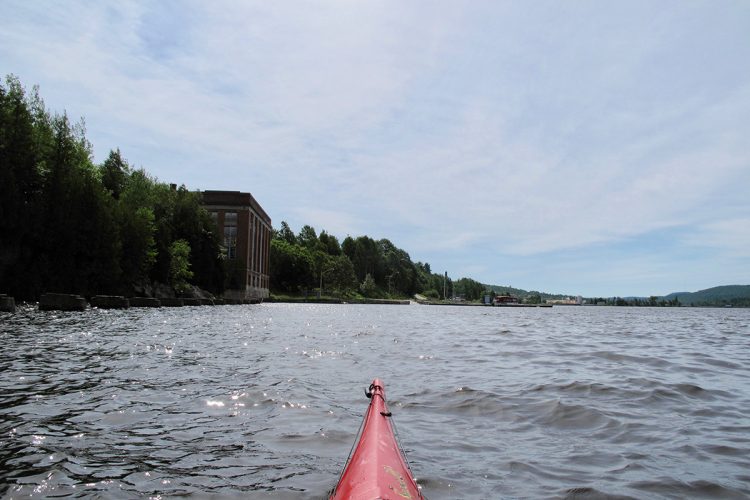
TÉMISCAMING MARINA
In Témiscaming, continue straight on Montée Letang Road. Turn right onto Kipawa road. Turn left onto Marina street.
Free outdoor parking and boat launch.
Position: 79°6'18.715"W 46°43'9.251"N
Specifications
 Topographic maps
Topographic maps at a scale of 1:50,000 for the entire reservoir route are available in PDF format on this page, and we recommend using them during your outing. The use of a GPS with the route map is also strongly recommended.
31 M/6 Lake Témiscamingue, Ville-Marie
31 M/3 Lake Témiscamingue, Saint-Édouard-de-Fabre
31 L/14 Lake Témiscamingue, Opémican
31 L/11 Lake Témiscamingue, Témiscaming
Total slope: 5 meters
 Obstacles and dangers
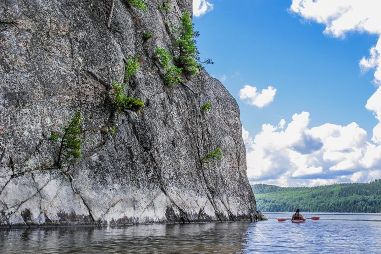
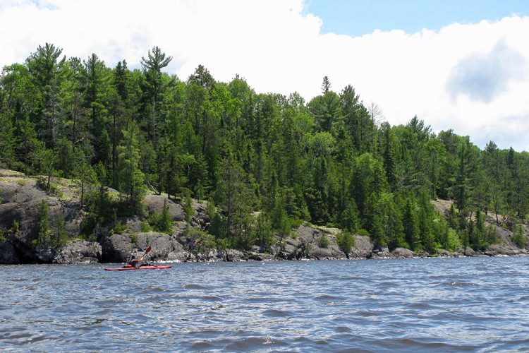
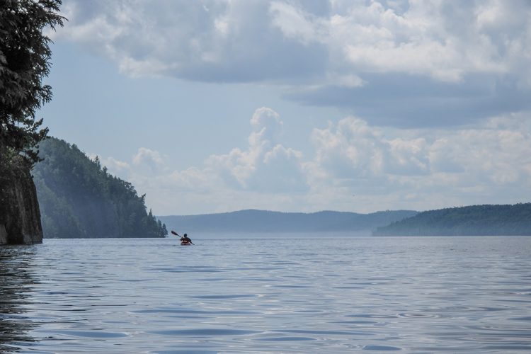
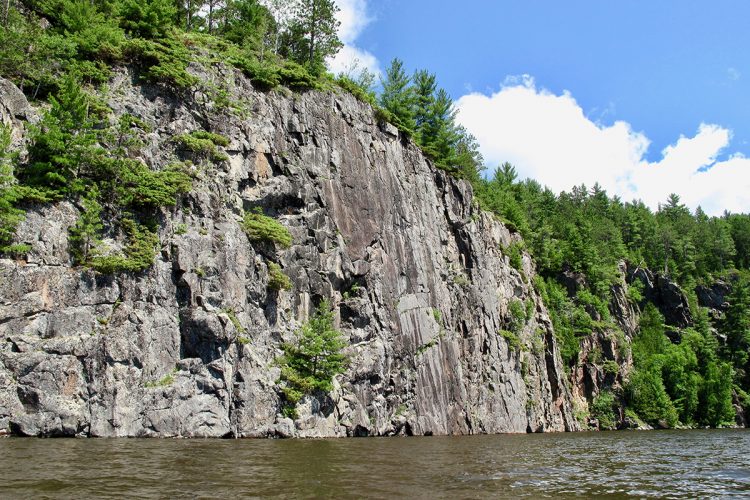
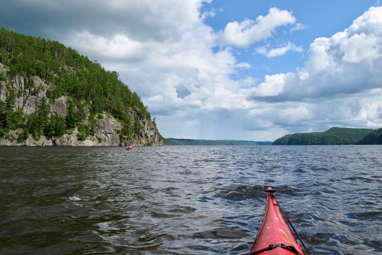
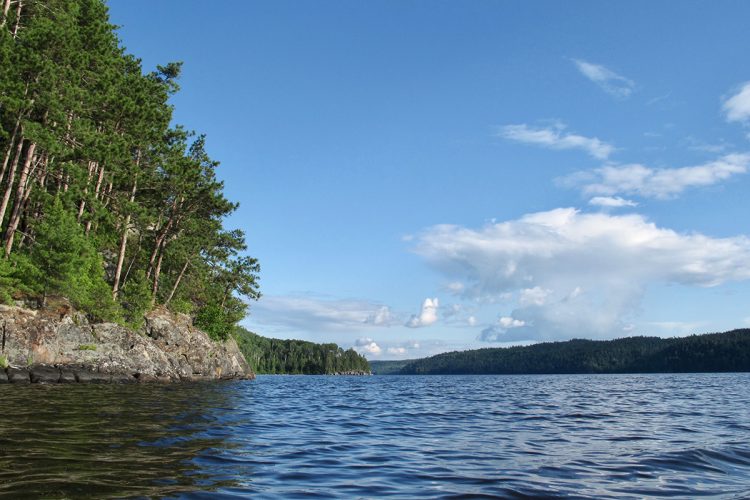
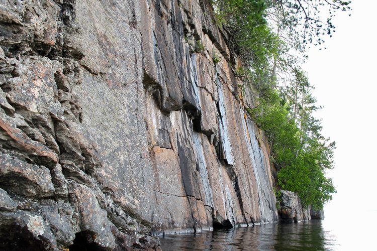
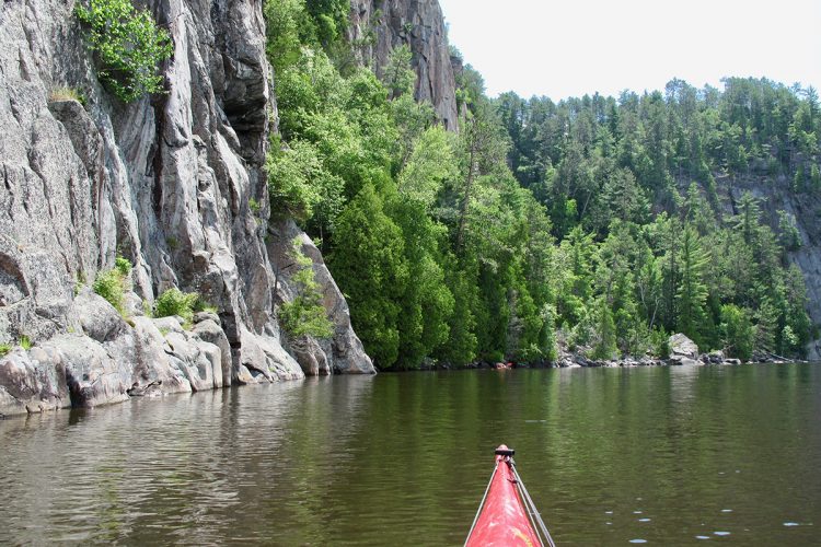
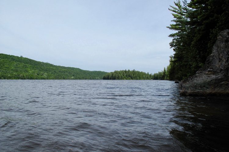
- Lake Temiskaming is very turbulent and even dangerous in strong winds. It is recommended to follow the shoreline. Some sections run along large rocky escarpments with no possibility of landing.
- The wind can change rapidly in strength and direction. It can create short, sharp waves that make it difficult to steer and can destabilize boats and cause them to capsize.
- Near large rock walls, waves collide (chop zones), making boats unstable.
 Camps
Camps
Sufficient campsites are available. They are distributed throughout the trail and vary in quality.
They are distributed throughout the trail. It is essential to leave campsites in impeccable condition, following Leave No Trace principles.
 Human presence
- Motorboat traffic.
- Several cabins and houses are located mainly at the beginning and end of the trail.
- A large portion of the trail is located within Opémican National Park.
Natural Environment
History
Before the arrival of Europeans in this region, the Algonquins occupied the lands northeast of the lake. They were involved in the fur trade in the early 1670s, and from then until the early 19th century, Lake Timiskaming served primarily as a transportation route for successive fur companies and their traders. However, in the 1830s, missionary zeal brought first the Oblates and then the Sulpicians to the region. During these same years, loggers purchased timber rights along the shores. In the 1880s, a permanent settlement was established around Timiskaming Lake. The first commercial steamboat sailed on the lake in 1882. Fourteen were in operation by 1900. However, from then on, railways gradually replaced the lakes as a means of transportation. These railways and roads caused the decline of Timiskaming Lake as a commercial transportation route after the First World War, but it found a new vocation in tourism and recreation.
Geography
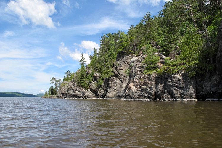
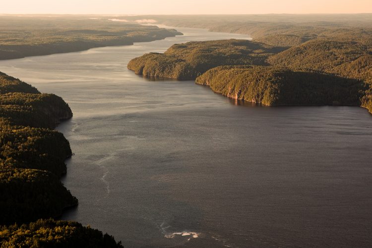
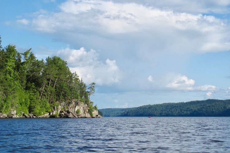
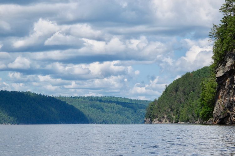
Its formation dates back to the Ice Age, when the passage of the last glacier acted as a kind of carving knife that shaped the Témiscamingue landscape. The lake is the remnant of the Objibway-Barlow (OB) Sea. This body of water covered the entire region up to the limits of Fugèreville as well as between Laniel and Témiscaming, passing through northeastern Ontario. Along its eastern and southeastern shores are steep cliffs that are part of the Laurentian Highlands.
Wildlife
The trail is known for its diverse wildlife, including porcupines, red squirrels, beavers, muskrats, hares, weasels, martens, minks, striped skunks, otter, moose, black bears, white-tailed deer, gray wolves, coyotes, red foxes, and lynx. The lake is a resting place for waterfowl and a nesting area for the Great Blue Heron. Canada geese have chosen Temiskaming Lake for their resting place during their migration, and several varieties of ducks also nest there.
Flora
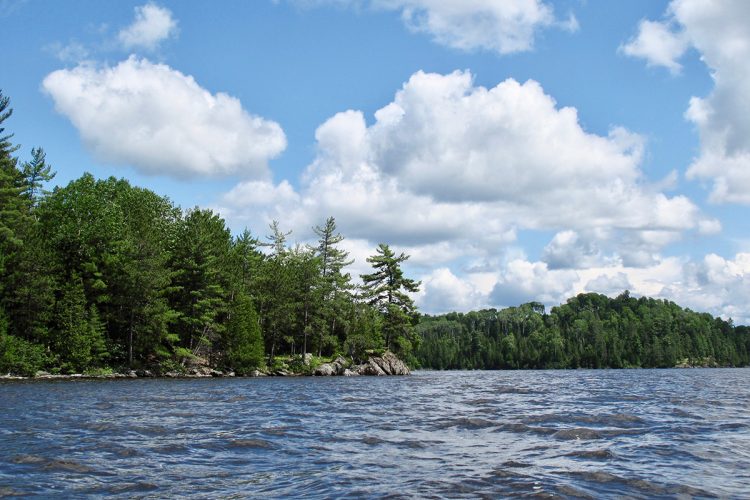
The bodies of water are located in the areas of white birch and yellow birch fir stands which include, among others, cedar, white and black spruce, balsam fir, white pine, red pine, aspen, yellow birch, maple and hemlock.
Toponymy
Its name, an Algonquin word meaning "where the water is deep," sums up its physical characteristics well.
Comments social0
Tools ready to go
- map Guide map (PDF)
- mapsquare Download GPS track (GPX)
- Google driving directions
-
 Sunrise : 07:30
Sunset : 18:38 -
Equipment for rent Coop de l'Arrière-Pays
- pdf Planification
- pdf Pmu Temiscamingue 2
- pdf Ps Temiscamingue 2
- pdf Equipement Kayak
- pdf Autoevaluation Kayak
- pdf Trousse Kayak
- pdf Autoevaluation Canot
- pdf Equipement Canot
- pdf Trousse Canot
Info & advice
- Animation et interprétation
- Camping
- Care
- Carte et orientation
- Caution
- Classification
- Emergency
- Equipment
- Jamais sans mon chien
- Nutrition
-
Prevention
- 10 articles de première nécessité
- Bien s'hydrater
- Comment lire la météo dans les nuages? Faire la pluie et le beau temps !
- Connaître son groupe et son plan d’eau
- Éviter les mauvaises rencontres en milieu sauvage
- Feu de camp sécuritaire : trois étapes à respecter
- Insectifuges
- Les moustiques
- Lunettes de soleil
- MALADIE DE LYME : PRÉVENIR LES PIQÛRES DE TIQUE EN RANDONNÉE
- Perdu en forêt : quoi faire?
- Règles de sécurité en canot et en kayak
- Se protéger contre le soleil
- Signalisation nautique internationale
- Vaporisateur Chasse-ours
- Progression
- Réglementation
- Training
Caution
This sheet has been prepared from information provided by outdoor enthusiasts deemed sufficiently reliable and experienced. Errors or omissions are always possible and Tourisme Abitibi-Témiscamingue cannot accept responsibility for any problem or accident that may arise from this sheet or be attributed to its use. If you notice any errors or omissions during your expedition, we would be very grateful if you would let us know by email pleinair@atrat.org in order to keep our information up to date.
