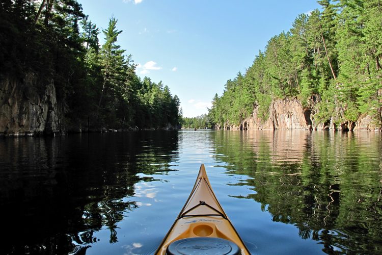
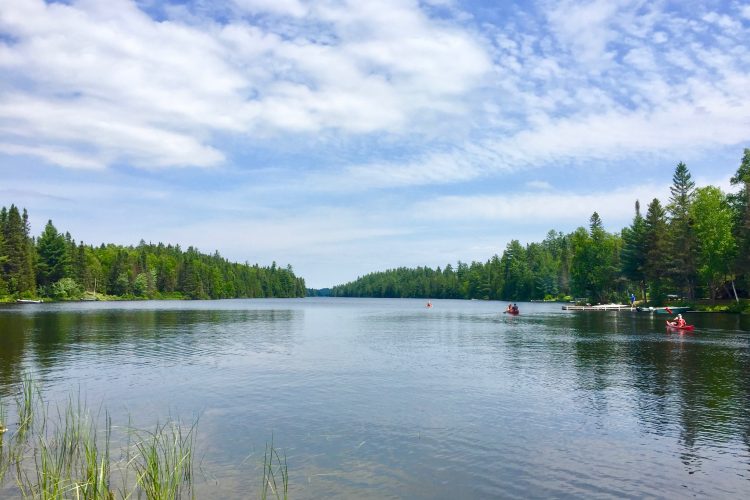
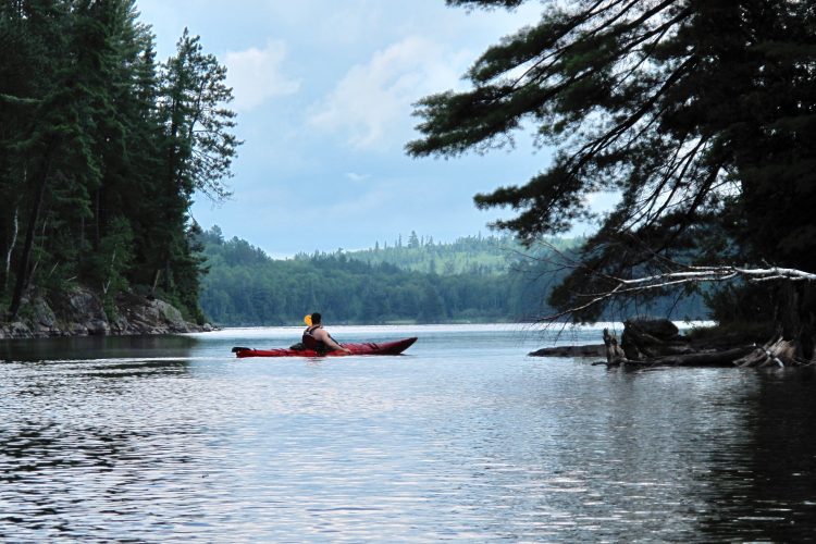
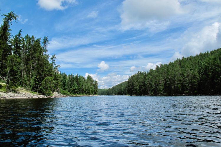
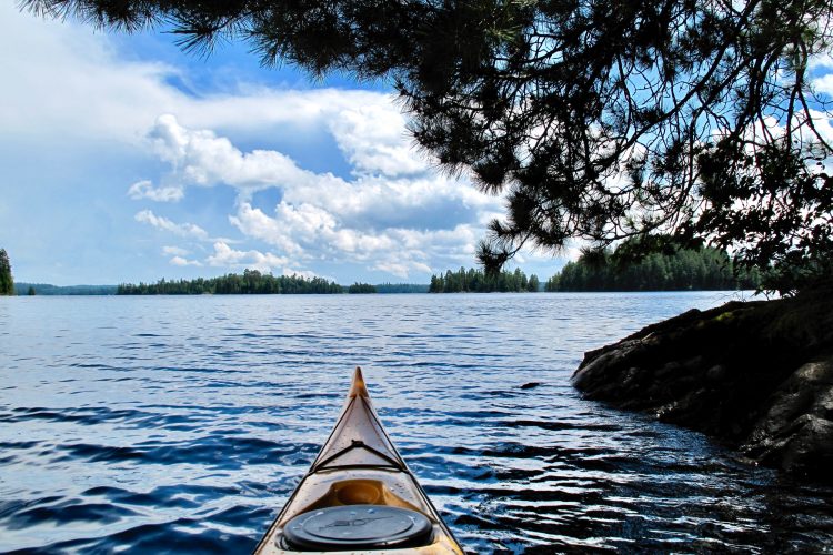
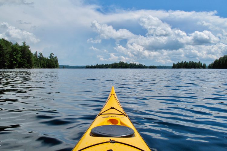
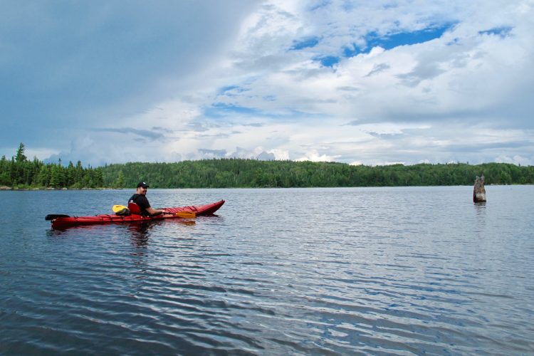
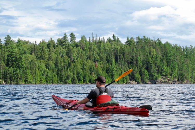
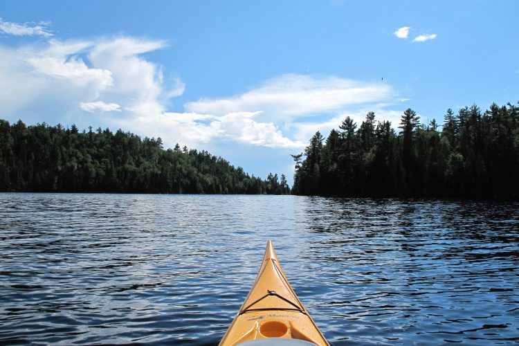
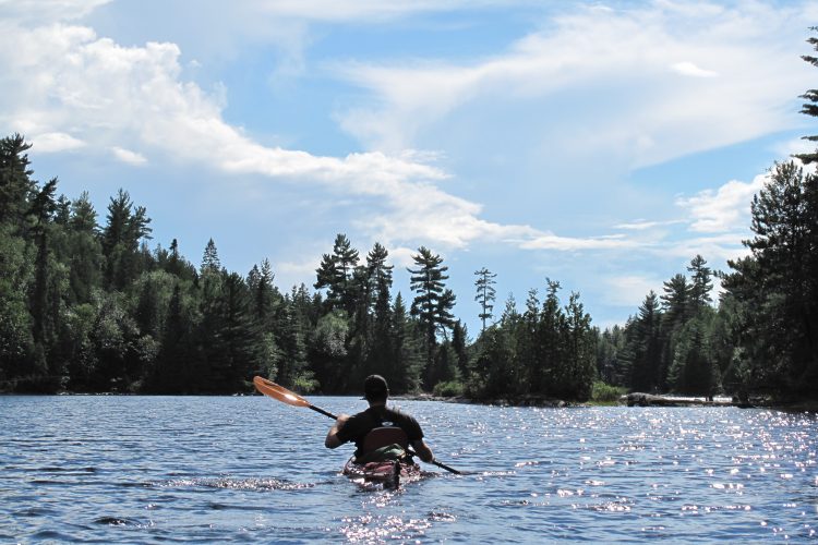
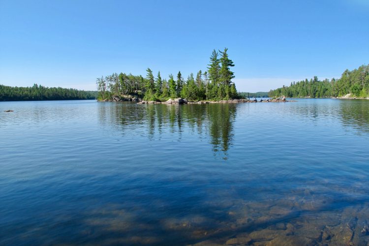
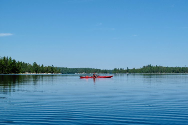
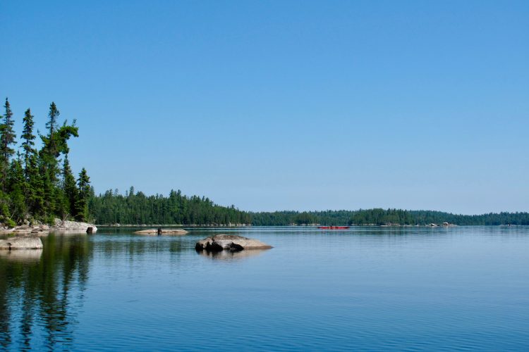
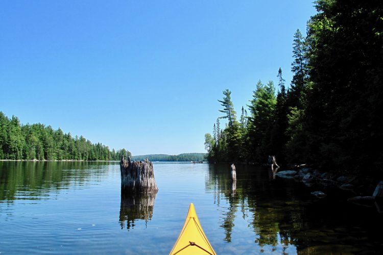
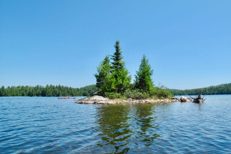
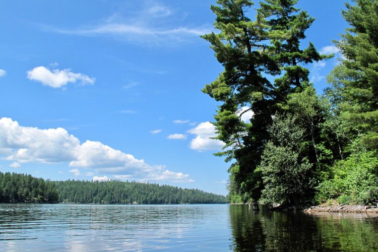
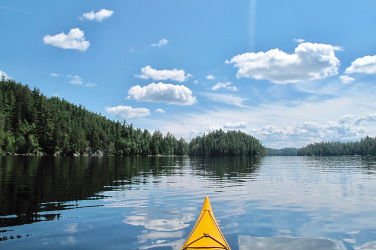
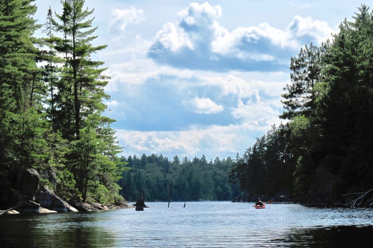
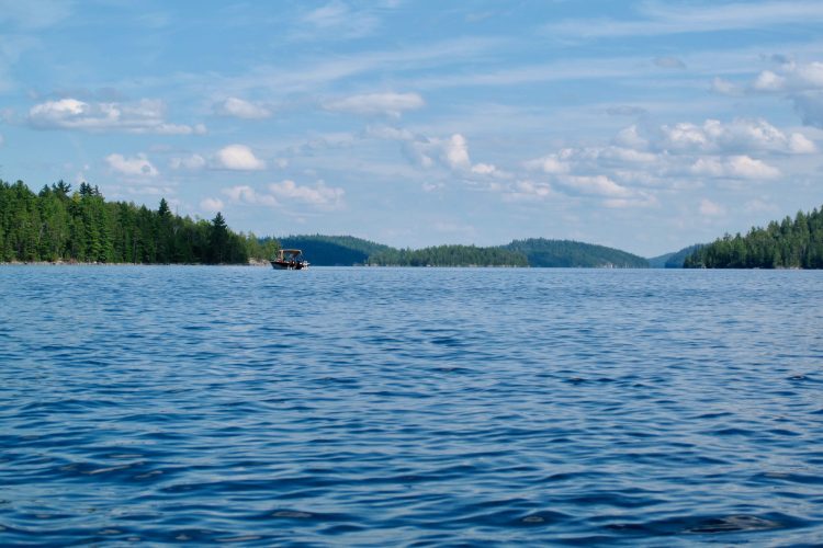
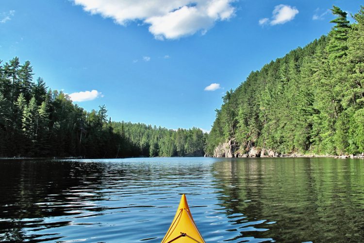
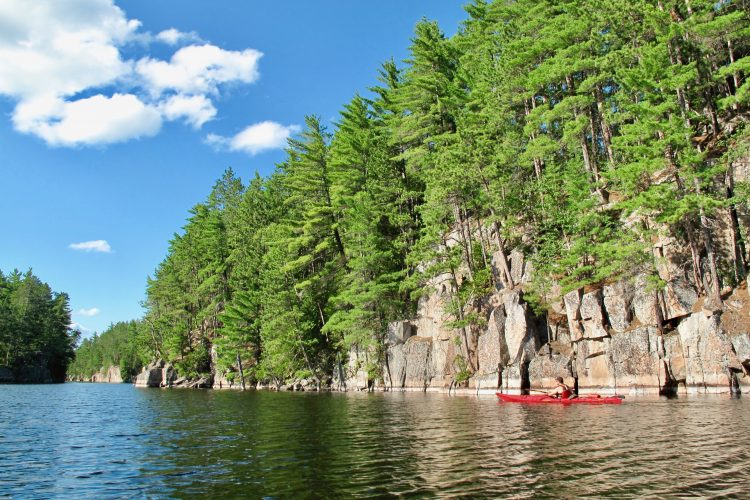
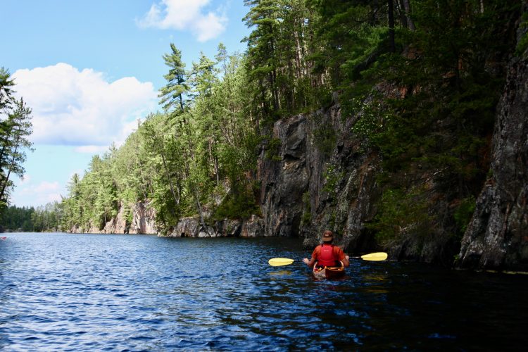
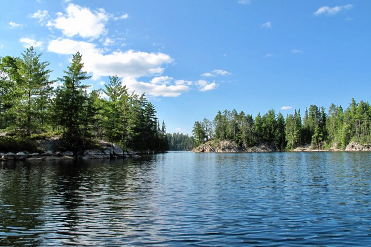
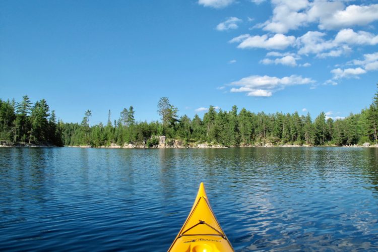
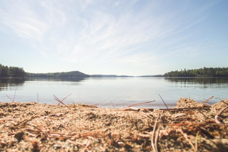
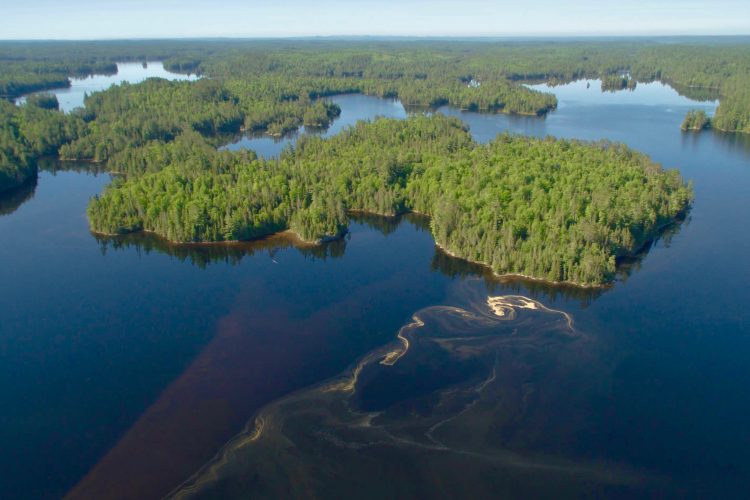
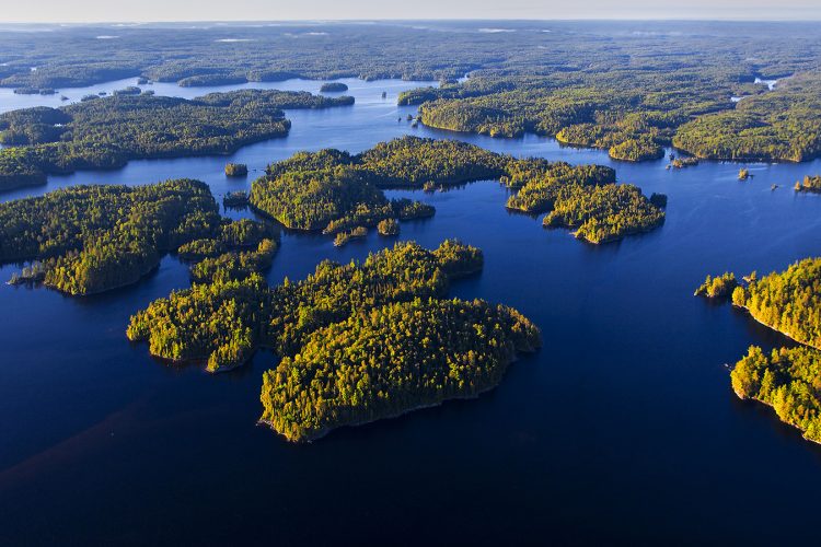
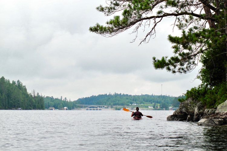
A true paradise for canoeists and kayakers, the gigantic Kipawa reservoir consists of a multitude of lakes, deep cliffs and countless islands and islets. The body of water is sprawling and gives the impression of rivers and lakes, most often narrow. The waters are remarkably clear and the beaches are not crowded. The lake is located on the Anicinabeg ancestral territory of Hunter’s Point.
Are you looking for a means of transport to get to the starting point of this dream course? You have only one vehicle and you want to move it from the starting point to the finishing point? La Coop of the Back Country offers you a road transport service.
Directions to reach the starting point
From Ville-Marie, take route 101 South. In Laniel, turn left on chemin Baie McAdam.
From Témiscaming, take Route 101 North. In Laniel, turn right on chemin Baie McAdam.
Turn left on Chemin Baie des Plongeurs and keep right (follow the signs for Taggart Bay Lodge).
Private, paid outdoor parking ($10/day) Position: 79°13’5.737”W 47°5’4.353”N Contact: Call Réjean Beaudoin at 1 819 627-6030 or Grant Simmons at 1-705-930-3900 to make an arrangement.
Topographic maps at a scale of 1:50 000 for the entire course of the reservoir are available in PDF format on this sheet and we recommend that you use them during your outing. The use of a GPS containing the route of the route is also strongly recommended.
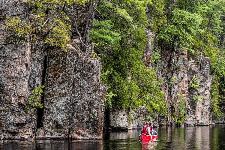
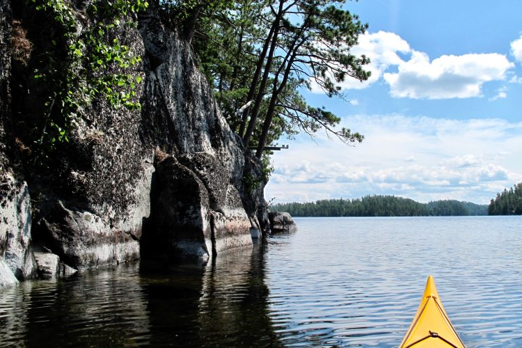
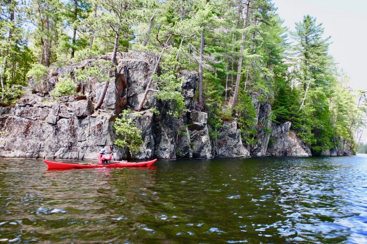
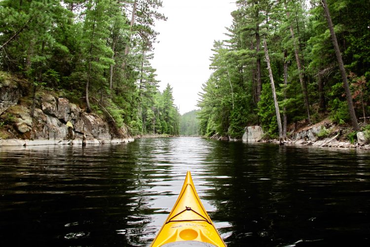
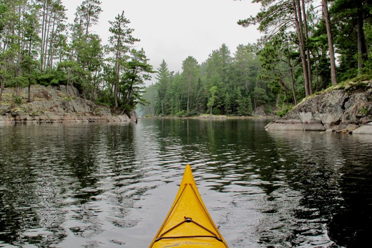
Lake Kipawa is tumultuous and even dangerous in high winds. It is recommended to paddle along the banks. Some sections run along large rock faces with no possibility of landing.
The wind can change rapidly in strength and direction. It can create short, sharp waves that make steering difficult, which can destabilize boats and cause capsizing.
Near the large rock faces, the waves collide (choppy areas) making the boats unstable.
Campsites
Camping sites are sufficient and of good quality located on points, beaches and islands.
They are distributed throughout the course. It is essential to leave campsites in immaculate condition by following Leave No Trace ethical principles.
Human presence
Movement of motor boats.
Several outfitters scattered throughout the reservoir.
Natural Environment
History
Kipawa Lake is located on the ancestral territory of the Anicinabeg of Hunter's Point.
From the middle of the 18th century, several logging companies started logging the white and red pine forests of Kipawa. At the end of the 19th century, the logging company J. R. Both Lumber was well established there.
Part of the Kipawa River became a reservoir following the construction of the Laniel and Kipawa dams in 1911. The Kipawa dam, built to supply electricity to the mill and the town of Témiscamingue, is located at the mouth of Gordon Creek, near the municipality of Kipawa.
Geography
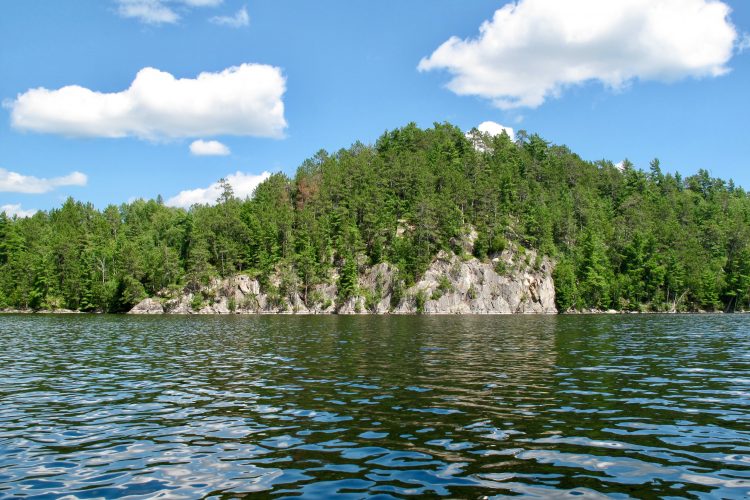
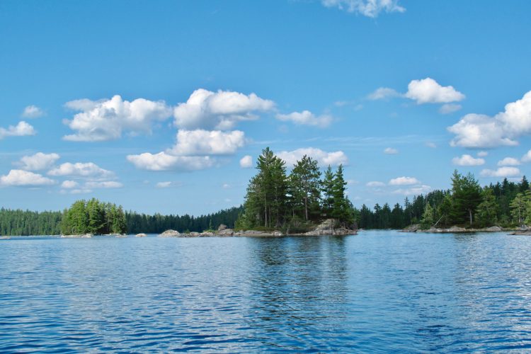
With a surface area of 300 km² and 1,307 km of shoreline characterized by numerous rocky escarpments, this body of water extends over five townships. The lake form is complex, being connected with several other bodies of water: Green, Grindstone, Bedout, McLachlin, Sheffield, Audoin, Sheffield, Trout, Hunter, Sunnyside and Moran lakes.
The body of water reaches a maximum depth of 40 meters and its average depth is 11.5 meters.
The main hydrographic slopes of the Kipawa Reservoir are:
North side: African stream, Lavallée river;
East side: Lac Bois Franc which flows into the Kipawa River;
Southwest side: Beauchêne River which drains Lac Beauchêne, Petit lac Beauchêne, Windy, du Diable, du Pin Blanc, Grand lac George and Petit lac Georges;
East side: the Ottawa River.
The tank turns out to be a real labyrinth made up of:
Bays: Chemagan, des Plongeurs, Profonde, du Huard, Dorval, Pratt, des Anglais, Campbell, McLaren, Dubreuil, Coalpit Bay, Trout and Pratt;
Islands: McKenzie, Fox, aux Ours, Grosse île du Moose, Garrot, aux Fraises, La Tortue, Bronson and Latour.
Peninsulas.
The Kipawa Reservoir is fed by:
North side: outlet of Carr Lake; Lac Moran, St-Amand, Lac du Grand Couteau and Lac Guay; outlet of Lac en Cœur; outlet of Lac du Caribou; outlet of Lake Aubry; outlet of Bat Lake; outlet of Lac Clément, Jack-White and McKeown; outlet of Lake Raisenne; Lake Audoin; Hunter Point Lake; Little Grindstone Lake; outlet of Lake McCullough; Outlet of Lake McKillop;
East side: McLachlin Lake; Outlet of Lake McKillop; Kipawa River;
South side: outlet of Trout Lake (which empties into Pratt Bay).
Wildlife
The species observed on the Kipawa reservoir are the loon, the great blue heron, the osprey, the crane, the bald eagle and a multitude of ducks.
Flora
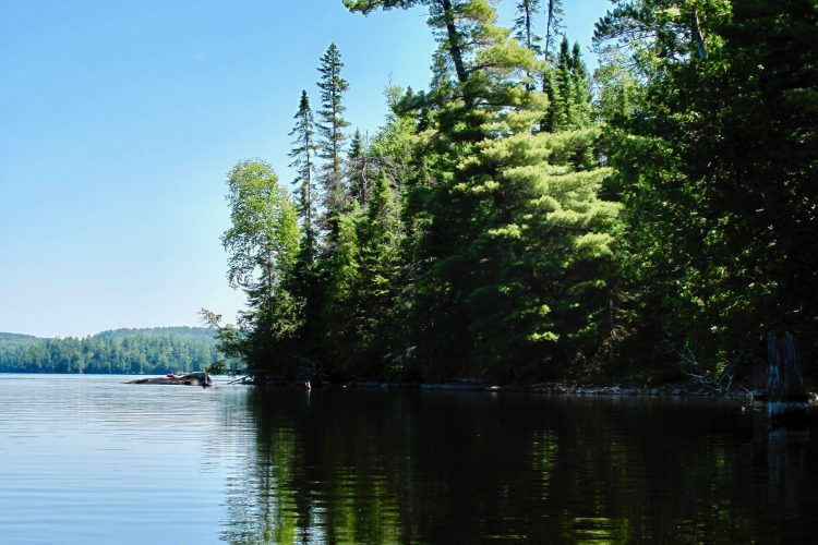
The giant red pines, often 300 years old or more, line the Kipawa Reservoir in several places. There are also sugar maple and black ash forests. This body of water is characterized by areas with a high concentration of mature forests, including McKenzie Island, which has never undergone intensive logging
Toponymy
Kipawa's name comes from Algonquin and means "It's closed". The toponym was spelled in multiple ways before the Kipawa variant was formalized: Kippawa, Kippewa, Kepawa, Kipakowe, Kipahowe.
This sheet has been prepared from information provided by outdoor enthusiasts deemed sufficiently reliable and experienced. Errors or omissions are always possible and Tourisme Abitibi-Témiscamingue cannot accept responsibility for any problem or accident that may arise from this sheet or be attributed to its use. If you notice any errors or omissions during your expedition, we would be very grateful if you would let us know by email pleinair@atrat.org in order to keep our information up to date.
Ce fichier texte est en format GPX. Il contient les données de traces et de points de navigation (waypoints). Il peut être visualisé via un éditeur de texte. Téléchargez gratuitement le gratuiciel GPS Babel pour importer le fichier contenant les traces et les points de navigation dans votre GPS.
Dans la section INPUT, sélectionner « Fichier ». Dans la rubrique Format, à l’aide de la liste déroulante, « GPX XML ». Cliquer sur le bouton File Name(s) pour accéder au fichier GPX téléchargé dans l’ordinateur.
Dans la section Translation Options, sélectionner « Waypoints » et « Traces ».
Brancher le GPS à l’ordinateur à l’aide d’un câble USB.
Dans la section Sortie, sélectionnez « Périphérique ». Choisir le format correspondant à la marque du GPS. Dans la rubrique Nom de périphérique, sélectionner « usb : ».
Cliquer sur le bouton Appliquer
Click and drag to look around you
Once in the area, click the location marker on the map to see your location in real time.


 Parking
Stationnement de la baie du Deux-Milles
47°5'4,353"N
Parking
Stationnement de la baie du Deux-Milles
47°5'4,353"N Launching ramp
Rampe de mise à l'eau de la baie du Deux-Milles
47°5'3,889"N
Launching ramp
Rampe de mise à l'eau de la baie du Deux-Milles
47°5'3,889"N Dock
Quai de la baie des Deux-MillesQ
47°05'04.0"N
Dock
Quai de la baie des Deux-MillesQ
47°05'04.0"N Wild camping
Camping sauvage de la baie des Plongeurs
47°6'7,568"N
Wild camping
Camping sauvage de la baie des Plongeurs
47°6'7,568"N Sandy beach / Swimming
Plage de la baie des Plongeurs
47°5'30,56"N
Sandy beach / Swimming
Plage de la baie des Plongeurs
47°5'30,56"N Halte sur galet
Halte (île) de la baie des Plongeurs
47°5'51,346"N
Halte sur galet
Halte (île) de la baie des Plongeurs
47°5'51,346"N Point of interest
Pancarte de l'île du Huard et champ des huards
47°5'3,099"N
Point of interest
Pancarte de l'île du Huard et champ des huards
47°5'3,099"N Rocky escarpment
Falaises du chenal Kipawa
47°2'49,732"N
Rocky escarpment
Falaises du chenal Kipawa
47°2'49,732"N Picnic table
Table de pique-nique de la baie du Canal
46°58'49,392"N
Picnic table
Table de pique-nique de la baie du Canal
46°58'49,392"N Toilet
te sèche de l'île Clermont
46°57'40.1"N
Toilet
Toilette sèche de l'île Clermont
46°57'40.1"N Paid wild camping
Camping sauvage de l'île du Sandy Portage
46°59'24,853"N
Paid wild camping
Camping sauvage de l'île du Sandy Portage
46°59'24,853"N Carrying
Portage de la baie Dorval
46°59'15.5"N
Carrying
Portage de la baie Dorval
46°59'15.5"N Reception et services
Poste d'accueil de Laniel et boutique nature
47°02'31.8"N
Reception et services
Poste d'accueil de Laniel et boutique nature
47°02'31.8"N Canoe for rent
Parc national d'Opémican, poste d'accueil Laniel
46°58'43.2"N
Canoe for rent
Parc national d'Opémican, poste d'accueil Laniel
46°58'43.2"N Covered picnic table
Gazébo de Laniel
47°02'35.6"N
Covered picnic table
Gazébo de Laniel
47°02'35.6"N Shuttle Service
 Directions to reach the starting point
 Topographic Maps
 Water Level
 Obstacles and dangers
 Campsites
 Human presence
 Sunrise : 07:29