
De la Lune Hiking Trails
De la Lune Hiking Trails
Rapide-Danseur, La Sarre et l'Abitibi-Ouest
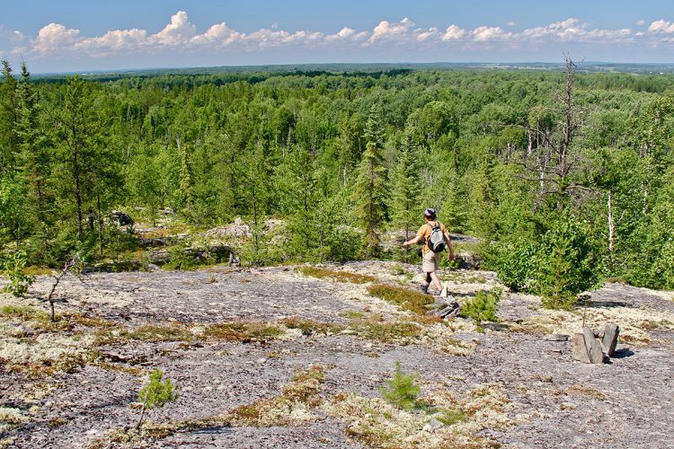
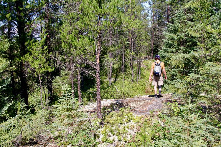
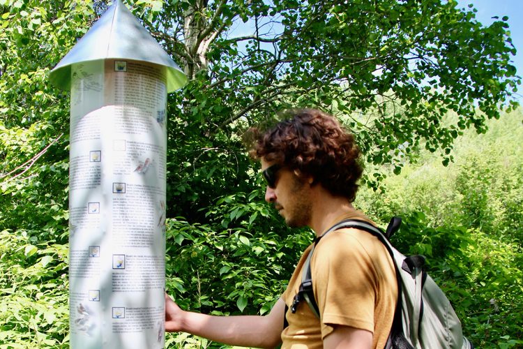
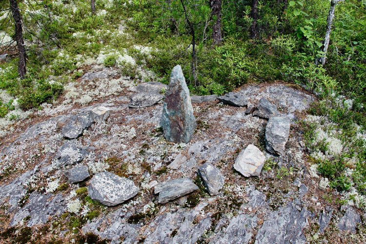
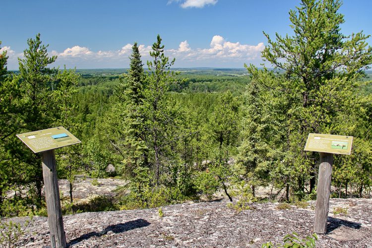
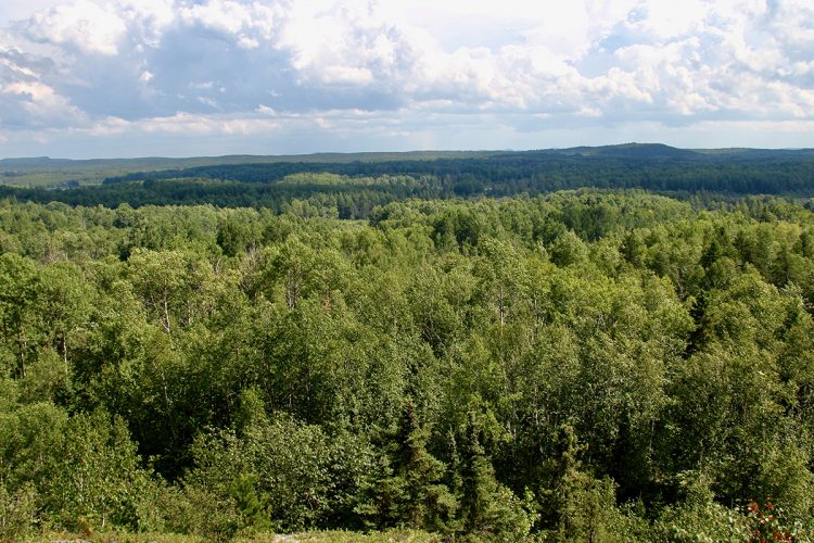
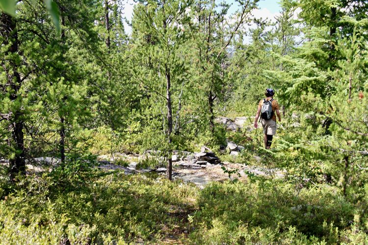
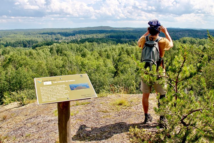
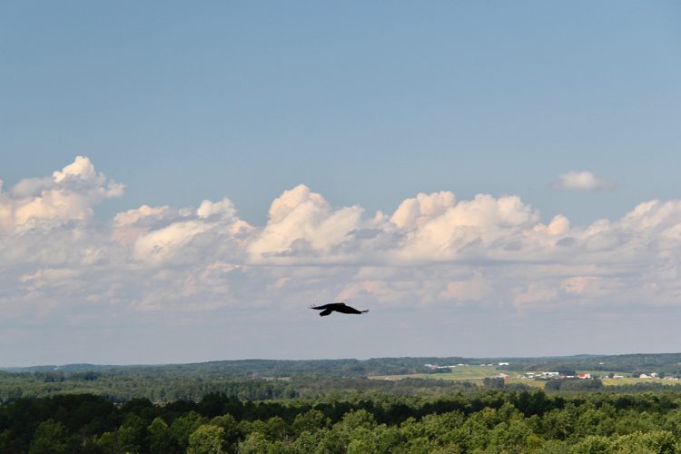
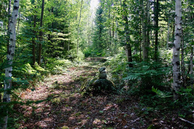
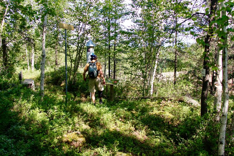
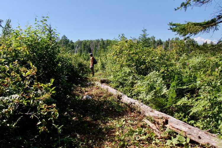
Ten rural parks are spread along two trails: the Promenade Trail in the village and the Lune Trail, which is 6 km further. Each park features a bench and an information display related to the park's theme. The Lune Trail passes through the Red Maple Park, covered with a forest of this species. At Belvédère Park, the trail climbs a small mountain and offers a view of Lake Duparquet and the surrounding area. The Erratic Block Park showcases a block left behind by glacial movement. In the Vieille école Park, you can find the foundations of a one-room schoolhouse from the 1930s-1940s. There are also the Grenouillière Park and the Esker Park. Additionally, you can walk along a section of the old Detour Trail, which crosses a wooded area of quaking aspens and spruces.
- electrocardiogram Moderate
- mountain 4.56 Km (Mixed)
- calendar seasonal
Sections
Sentier-La Moraine
- electrocardiogram Easy
- mountain 1.21 km (Linear)
Sentier-De la Bétulaie Blanche
- mountain 1.15 km (Linear)
Sentier-De la Vieille École
- mountain 0.30 km (Linear)
Sentier-De L'Escalier
- mountain 0.34 km (Linear)
Sentier-Du Belvédère
- mountain 1.20 km (Linear)
Sentier-La traverse
- mountain 0.37 km (Linear)
Points of service and interest
Category Name
-
 Parking
Stationnement des sentiers de la Lune
48°32'56,174"N
Parking
Stationnement des sentiers de la Lune
48°32'56,174"N
79°11'14,454"O -
 Point of interest
Parc de l'Érable rouge
48°32'58,011"N
Point of interest
Parc de l'Érable rouge
48°32'58,011"N
79°11'7,029"O -
Point of interest
Par du Belvédère
48°32'50,453"N
79°10'54,423"O -
 Panorama
Vue panoramique
48° 32.894'N
Panorama
Vue panoramique
48° 32.894'N
79° 11.017'O -
Panorama
Vue panoramique
48° 32.895'N
79° 11.037'O -
Panorama
Vue panoramique
48° 32.894'N
79° 10.924'O -
Point of interest
Parc du Bloc erratique
48°32'52,812"N
79°10'44,829"O -
Point of interest
Parc de l'Ester
48°32'51,755"N
79°10'22,089"O -
Point of interest
Parc de la Vieille école
48°32'50,587"N
79°11'17,831"O -
Point of interest
Parc de la Grenouillère
48°32'51,867"N
79°11'12,12"O
Accessibility
Access Fee
![]() Free, without visitor facilities.
Free, without visitor facilities.![]() Pets are allowed.
Pets are allowed.
Directions to the starting point
From Duparquet, take the road 393 North towards Palmarolle. Turn right on the rang de la lune. Continue to the rural parks entrance 2km further on, turn left. Enter and proceed to the parking lot a little further.
![]() View the route from your location on Google Map
View the route from your location on Google Map
Contact
Comments social0
Tools ready to go
- pdf Planification Randonnee Apa
- pdf Equipement Randonnee Pedestre
- pdf Gestion Des Risques Randonnee Pedestre Apa
- pdf Sans Trace Apa
Info & advice
- Activité
- Animation et interprétation
- Camping
- Care
- Carte et orientation
- Caution
- Emergency
- Encadrement
- Equipment
- Jamais sans mon chien
- Nutrition
-
Prevention
- 10 articles de première nécessité
- Bien s'hydrater
- Comment lire la météo dans les nuages? Faire la pluie et le beau temps !
- Éviter les ampoules aux pieds
- Éviter les mauvaises rencontres en milieu sauvage
- Feu de camp sécuritaire : trois étapes à respecter
- Insectifuges
- Les moustiques
- Lunettes de soleil
- MALADIE DE LYME : PRÉVENIR LES PIQÛRES DE TIQUE EN RANDONNÉE
- Perdu en forêt : quoi faire?
- Se protéger contre le soleil
- Vaporisateur Chasse-ours
- Progression
- Réglementation
- Training
Caution
This sheet has been prepared from information provided by outdoor enthusiasts deemed sufficiently reliable and experienced. Errors or omissions are always possible and Tourisme Abitibi-Témiscamingue cannot accept responsibility for any problem or accident that may arise from this sheet or be attributed to its use. If you notice any errors or omissions during your expedition, we would be very grateful if you would let us know by email pleinair@atrat.org in order to keep our information up to date.
