
Du Détour Trails
Du Détour Trails
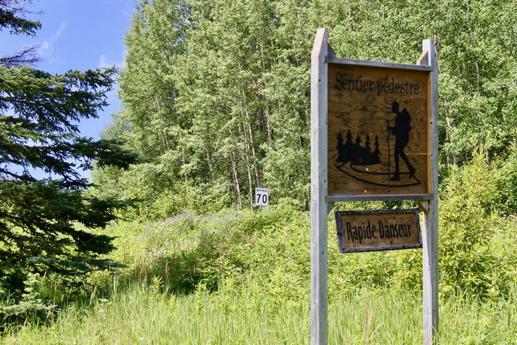
Rapide-Danseur, La Sarre et l'Abitibi-Ouest
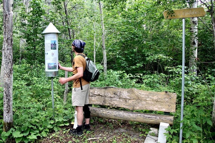
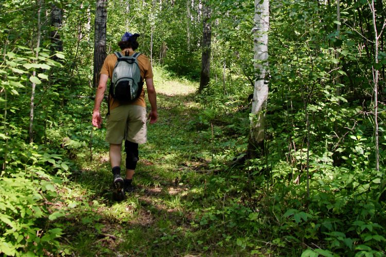
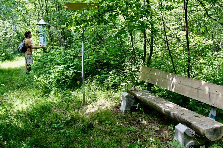
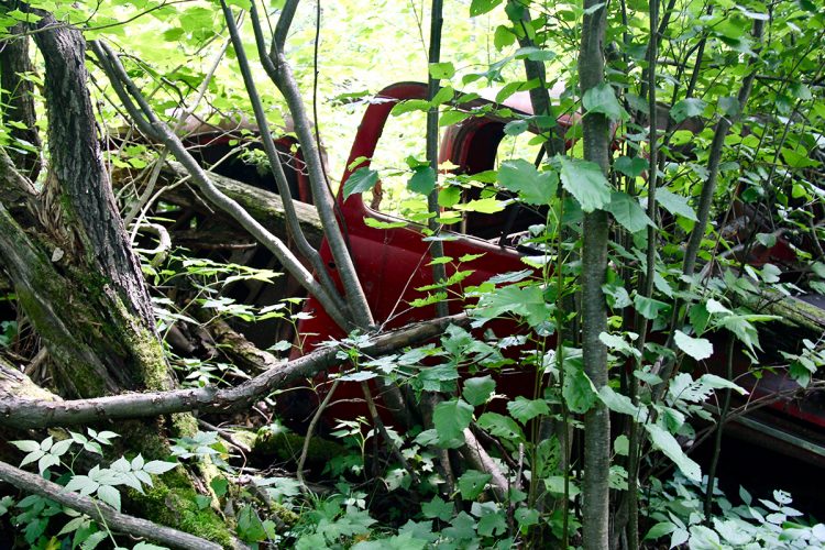
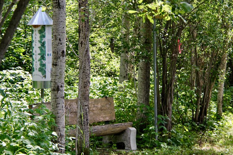
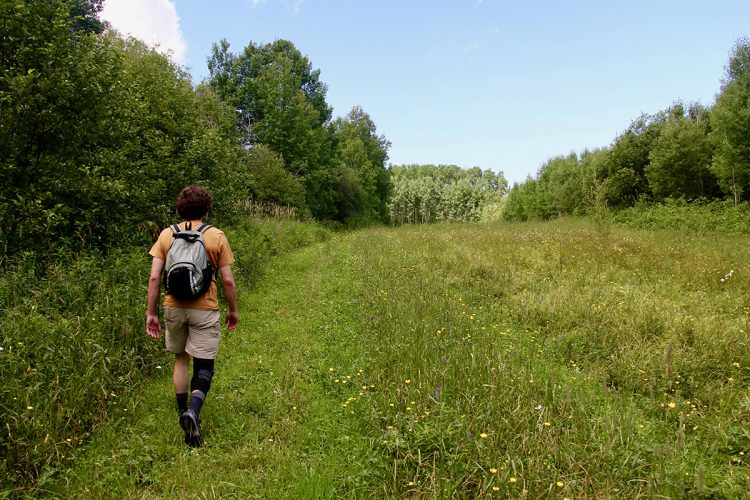
Ten rural parks have been set up along two trails, the Promenade at the village and the Lune 6 km away. In each park, there is a bench and display with lots of information on the theme. The Promenade trail leads to Parc des Épilobes, named for the abundance of this plant. Further on, the Parc du Rapide is located on the historic site of the Église de Rapide-Danseur, which dates from 1940. There is an underground exhibition. This park allows to observe the rapids. The trail also passes through the parks of Bruants and Old Cars.
- electrocardiogram Easy
- mountain 1.5 Km (Loop)
- calendar seasonal
Sections
La Promenade (accès)
- electrocardiogram Easy
- mountain 0.17 km (Linear)
La Promenade (boucle)
- electrocardiogram Easy
- mountain 1.18 km (Linear)
Le Détour (accès)
- electrocardiogram Easy
- mountain 0.17 km (Linear)
Le Détour (boucle)
- electrocardiogram Easy
- mountain 1.18 km (Loop)
Points of service and interest
 Parking
Accessibility
Access Rights
Free, without visitor facilities.
Pets are allowed.
Directions to the starting point
From Duparquet, take the road 393 North towards Palmarolle. Turn right on the row of the Moon. Continue to the rural parks entrance 2 km further on, turn left. Enter and proceed to the parking lot a little further.
Comments social0
Tools ready to go
- pdf Planification Randonnee Apa
- pdf Equipement Randonnee Pedestre
- pdf Gestion Des Risques Randonnee Pedestre Apa
- pdf Sans Trace Apa
Info & advice
- Activité
- Animation et interprétation
- Camping
- Care
- Carte et orientation
- Caution
- Emergency
- Encadrement
- Equipment
- Jamais sans mon chien
- Nutrition
-
Prevention
- 10 articles de première nécessité
- Bien s'hydrater
- Comment lire la météo dans les nuages? Faire la pluie et le beau temps !
- Éviter les ampoules aux pieds
- Éviter les mauvaises rencontres en milieu sauvage
- Feu de camp sécuritaire : trois étapes à respecter
- Insectifuges
- Les moustiques
- Lunettes de soleil
- MALADIE DE LYME : PRÉVENIR LES PIQÛRES DE TIQUE EN RANDONNÉE
- Perdu en forêt : quoi faire?
- Se protéger contre le soleil
- Vaporisateur Chasse-ours
- Progression
- Réglementation
- Training
Caution
This sheet has been prepared from information provided by outdoor enthusiasts deemed sufficiently reliable and experienced. Errors or omissions are always possible and Tourisme Abitibi-Témiscamingue cannot accept responsibility for any problem or accident that may arise from this sheet or be attributed to its use. If you notice any errors or omissions during your expedition, we would be very grateful if you would let us know by email pleinair@atrat.org in order to keep our information up to date.
