
Rapides hiking trails
Rapides hiking trails
Rochebaucourt, Amos Région
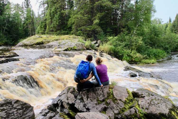
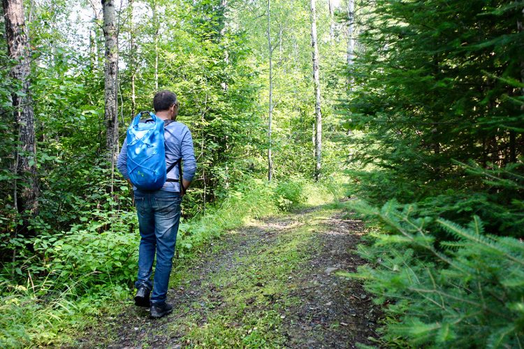
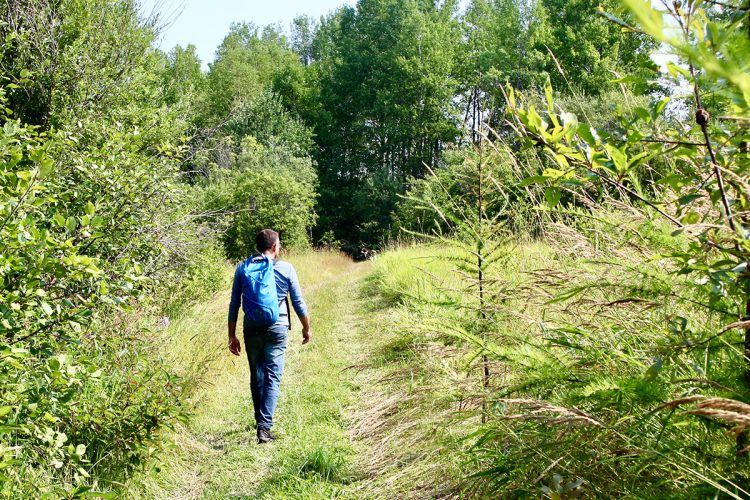
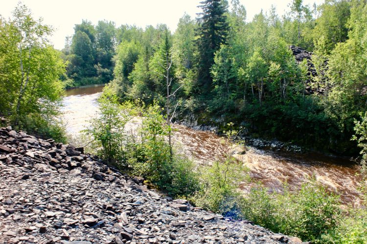
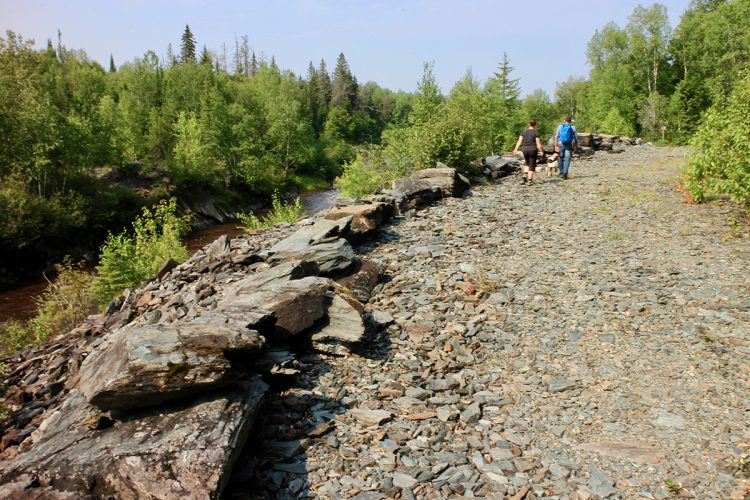
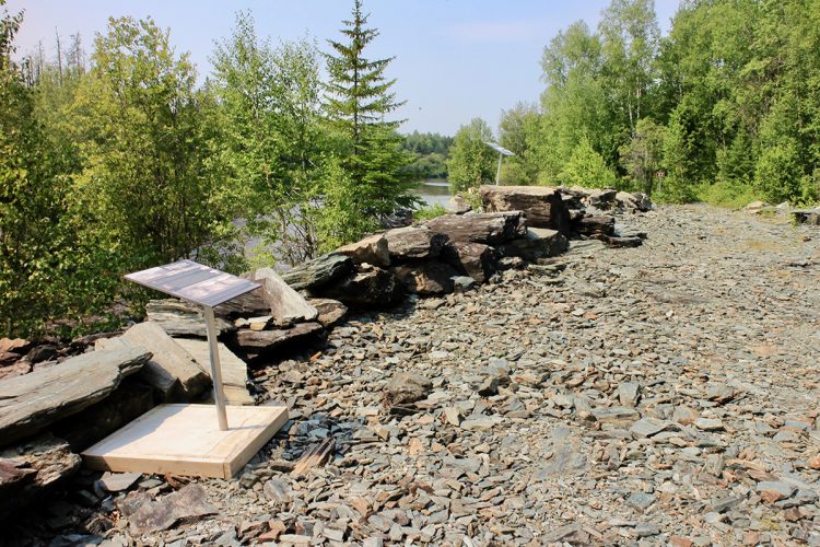
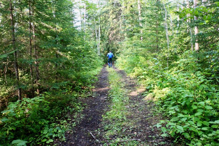
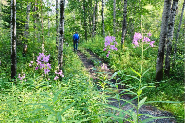
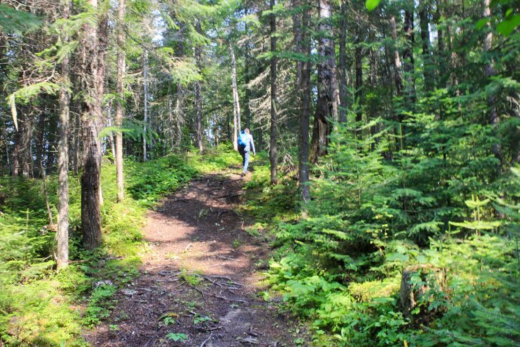
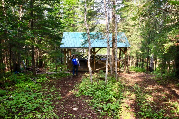
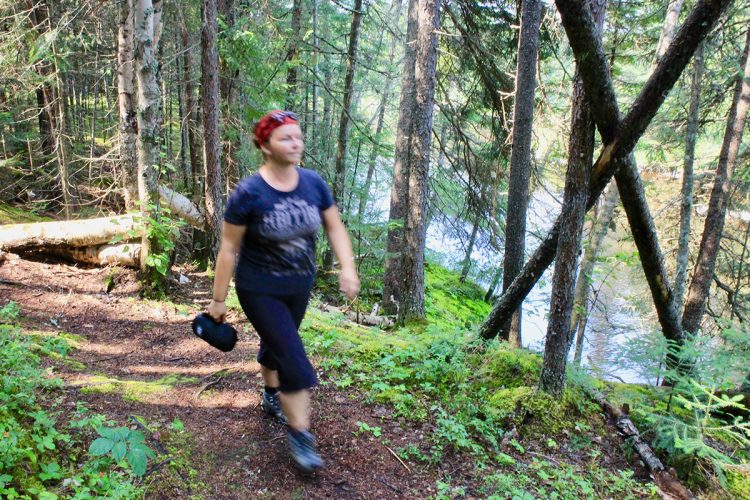
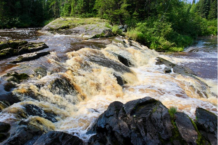
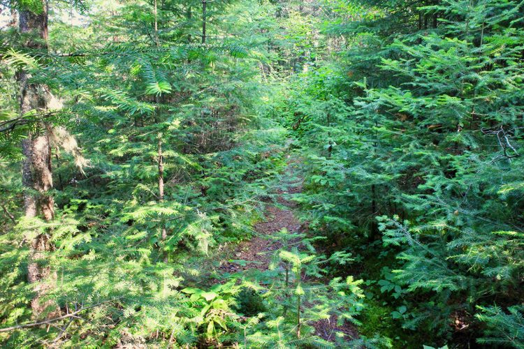
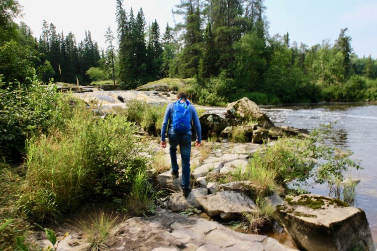
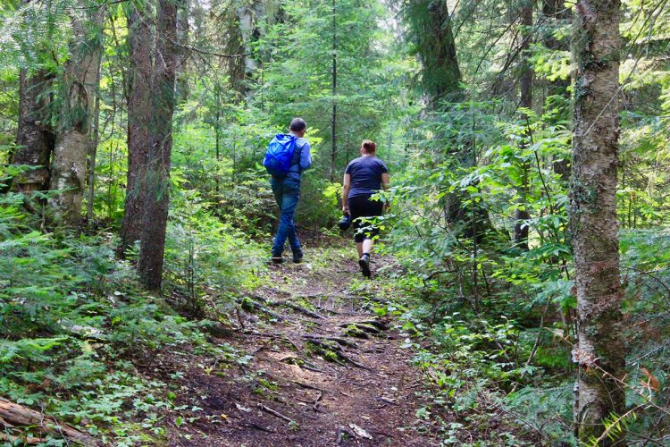
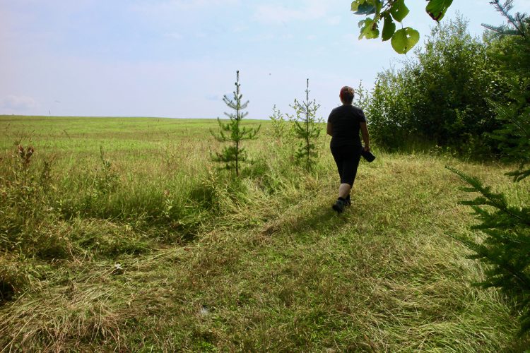
The 2.2 km long Rapids Trail runs along the Laflamme River and offers an enchanting and educational walk. Picnic areas allow you to rest while enjoying the calm and welcoming landscape.
- electrocardiogram Easy
- mountain 2.4 Km (Linear)
- calendar seasonal
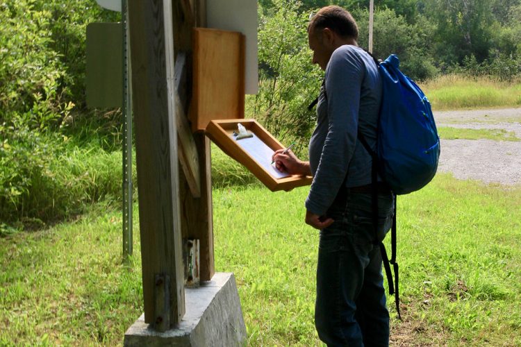
Points of service and interest
 Parking
Accessibility
Access Rights
![]() Free, without visitor facilities.
Free, without visitor facilities.
![]() Pets are allowed.
Pets are allowed.
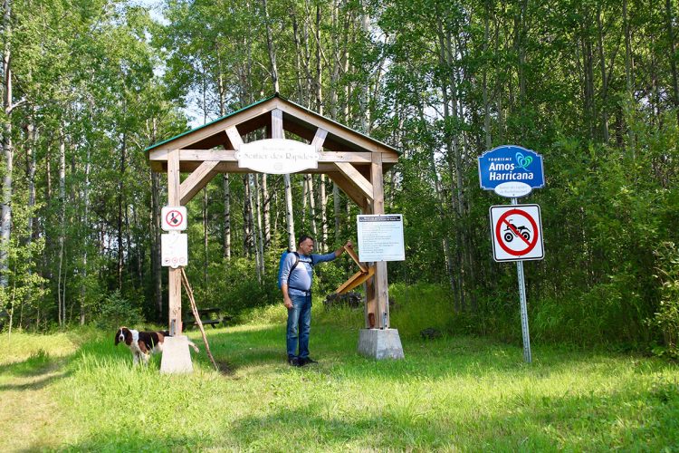
Directions to the starting point
From Amos, take Route 111 South. Turn left on Route 386 East. Turn left on Route 397 North. Turn right onto 9th-10th East Row. The parking lot is located at the exit of the covered bridge "Pont des chutes" in Rochebaucourt.
Parking (large): Free
Coordinates: 48°42'17.6"N | 77°26'36.6"O
Address : Rang 10 Est | Rochebaucourt![]() View the route from your location on Google Map
View the route from your location on Google Map
Contact
T 819 754-2083
adl@municoteaux.com
Website
Natural Environment
History
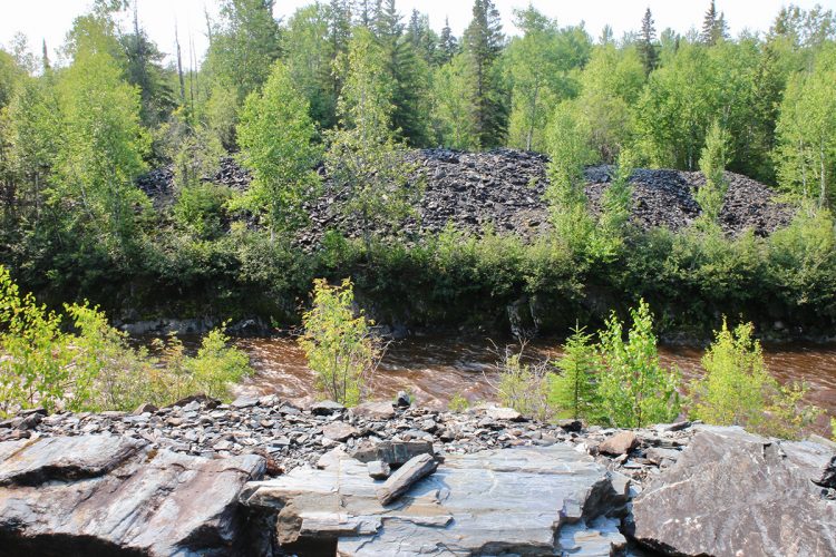
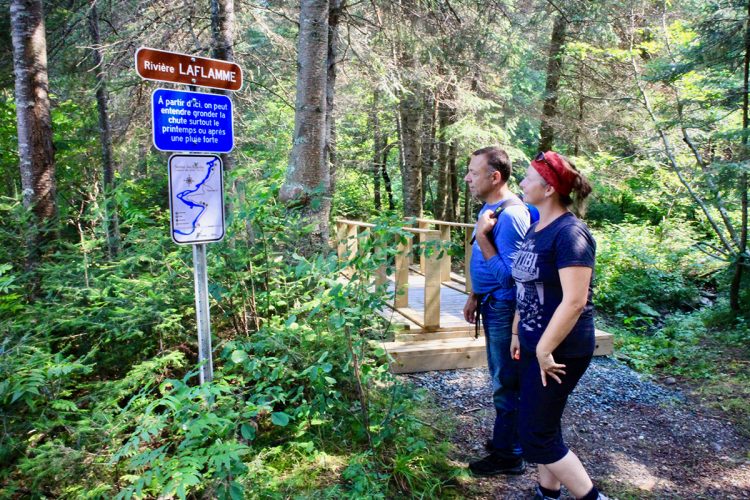
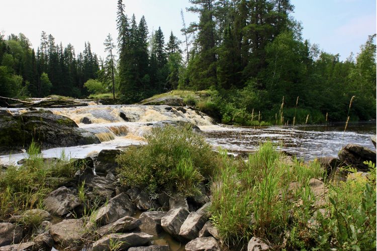
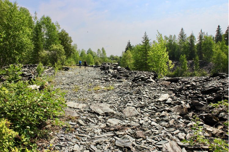
Once upon a time, there was a waterfall that was dynamited to lower the water level that was damaging to arable land during spring floods. The residue from this blasting gives an unusual appearance to this place.
Comments social0
Tools ready to go
- pdf Planification Randonnee Apa
- pdf Equipement Randonnee Pedestre
- pdf Systemes Communications
- pdf Gestion Des Risques Randonnee Pedestre Apa
- pdf Sans Trace Apa
Info & advice
- Activité
- Animation et interprétation
- Camping
- Care
- Carte et orientation
- Caution
- Emergency
- Encadrement
- Equipment
- Jamais sans mon chien
- Nutrition
-
Prevention
- 10 articles de première nécessité
- Bien s'hydrater
- Comment lire la météo dans les nuages? Faire la pluie et le beau temps !
- Éviter les ampoules aux pieds
- Éviter les mauvaises rencontres en milieu sauvage
- Feu de camp sécuritaire : trois étapes à respecter
- Insectifuges
- Les moustiques
- Lunettes de soleil
- MALADIE DE LYME : PRÉVENIR LES PIQÛRES DE TIQUE EN RANDONNÉE
- Perdu en forêt : quoi faire?
- Se protéger contre le soleil
- Vaporisateur Chasse-ours
- Progression
- Réglementation
- Training
Caution
This sheet has been prepared from information provided by outdoor enthusiasts deemed sufficiently reliable and experienced. Errors or omissions are always possible and Tourisme Abitibi-Témiscamingue cannot accept responsibility for any problem or accident that may arise from this sheet or be attributed to its use. If you notice any errors or omissions during your expedition, we would be very grateful if you would let us know by email pleinair@atrat.org in order to keep our information up to date.