
Rapids «Chute à Grandmaison» Hiking Trails
Rapids «Chute à Grandmaison» Hiking Trails
Senneterre (Paroisse), Vallée-de-l'Or
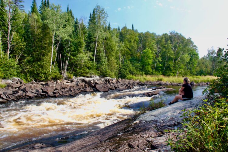
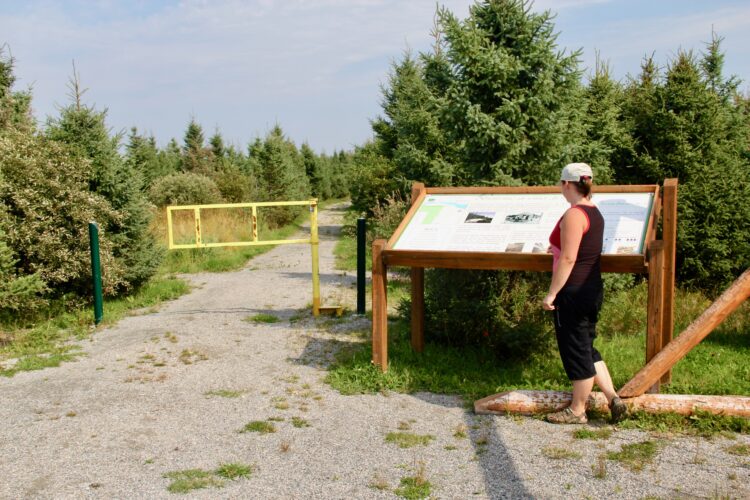
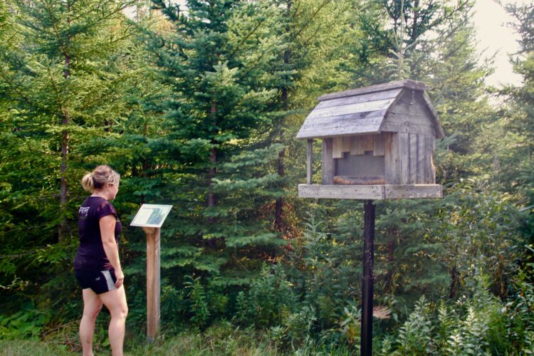
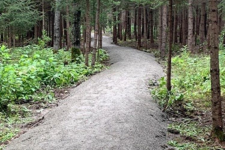
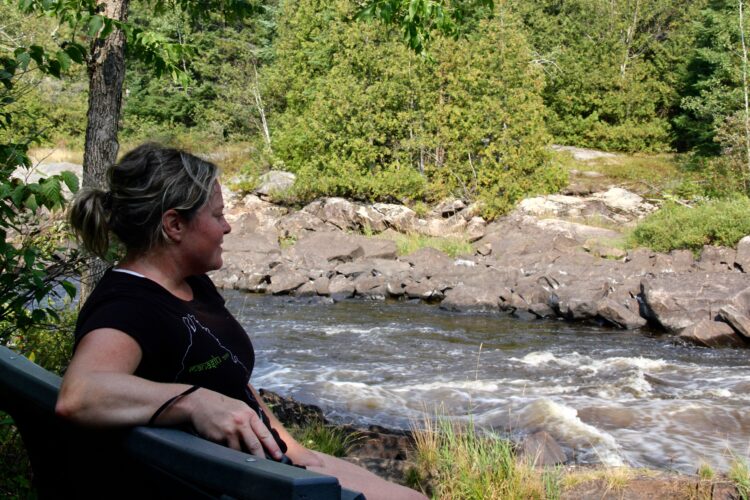
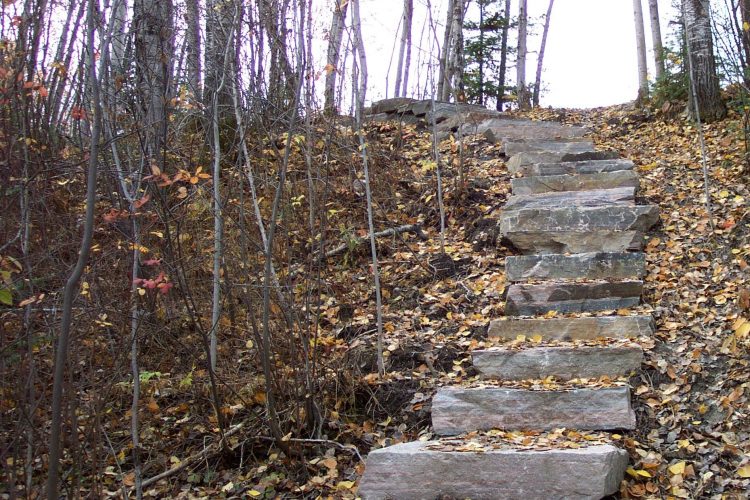
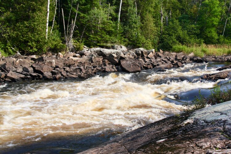
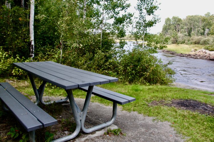
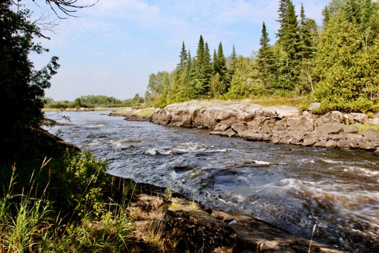
This trail follows the Bell River for nearly a kilometer, offering stunning views of the Chute à Grandmaison rapids, named in honor of the Grandmaison family, the first landowners leading to the rapids in 1923. The current trail has been developed since October 2006 and includes amenities such as picnic tables, restrooms, and benches. Interpretive panels on local flora will appeal to nature enthusiasts. Natural stone steps have been installed along the path.
Hébertism modules are now available along the trails.
- electrocardiogram Easy
- mountain 1.3 Km (Linear)
Sections
Grandmaison - accès
- electrocardiogram Easy
- mountain 0.37 km (Linear)
Grandmaison - rive
- electrocardiogram Easy
- mountain 0.45 km (Linear)
Points of service and interest
Category Name
-
 Picnic table
Table de pique-nique
48°21'3,528"N
Picnic table
Table de pique-nique
48°21'3,528"N
77°16'25,791"O -
Picnic table
Table de pique-nique
48°21'8,352"N
77°16'25,791"O -
Picnic table
Table de pique-nique
48°21'10,636"N
77°16'26,046"O -
Picnic table
Table de pique-nique
48°21'5,76"N
77°16'25,75"O -
 Rapids
Rapide de la chute à Grandmaison
48°21'5,454"N
Rapids
Rapide de la chute à Grandmaison
48°21'5,454"N
77°16'25,017"O -
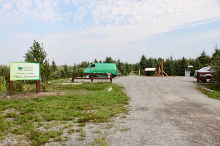
 Parking
Stationnement
48°21'3,164"N
Parking
Stationnement
48°21'3,164"N
77°16'41,595"O -
 Point of interest
Banc
48°21'6,709"N
Point of interest
Banc
48°21'6,709"N
77°16'24,966"O -
Point of interest
Banc
48°21'1,787"N
77°16'29,049"O -
Point of interest
Banc
48°21'3,569"N
77°16'28,268"O
Accessibility
Access Rights
![]() Free, without visitor facilities
Free, without visitor facilities![]() Pets are allowed
Pets are allowed
Directions to the starting point
From Senneterre, follow route 113 south for 5 km. Turn left on du Portage street. The trail begins just off the municipal building at number 100.
Parking: Free
![]() View the route from your location on Google Maps
View the route from your location on Google Maps
Contact
P 819 737-2842
Email: info@paroissesenneterre.qc.ca
See website
Specifications
- Elevation difference of 100 meters maximum
Comments social0
Tools ready to go
- pdf Planification Randonnee Apa
- pdf Equipement Randonnee Pedestre
- pdf Gestion Des Risques Randonnee Pedestre Apa
- pdf Sans Trace Apa
Info & advice
- Activité
- Animation et interprétation
- Camping
- Care
- Carte et orientation
- Caution
- Emergency
- Encadrement
- Equipment
- Jamais sans mon chien
- Nutrition
-
Prevention
- 10 articles de première nécessité
- Bien s'hydrater
- Comment lire la météo dans les nuages? Faire la pluie et le beau temps !
- Éviter les ampoules aux pieds
- Éviter les mauvaises rencontres en milieu sauvage
- Feu de camp sécuritaire : trois étapes à respecter
- Insectifuges
- Les moustiques
- Lunettes de soleil
- MALADIE DE LYME : PRÉVENIR LES PIQÛRES DE TIQUE EN RANDONNÉE
- Perdu en forêt : quoi faire?
- Se protéger contre le soleil
- Vaporisateur Chasse-ours
- Progression
- Réglementation
- Training
Caution
This sheet has been prepared from information provided by outdoor enthusiasts deemed sufficiently reliable and experienced. Errors or omissions are always possible and Tourisme Abitibi-Témiscamingue cannot accept responsibility for any problem or accident that may arise from this sheet or be attributed to its use. If you notice any errors or omissions during your expedition, we would be very grateful if you would let us know by email pleinair@atrat.org in order to keep our information up to date.
