
Val Saint-Gilles Multifonctionnal and Historical Interpretation Trail
Val Saint-Gilles Multifonctionnal and Historical Interpretation Trail
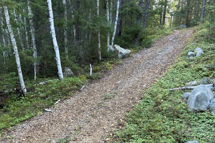
Val Saint-Gilles, La Sarre et l'Abitibi-Ouest
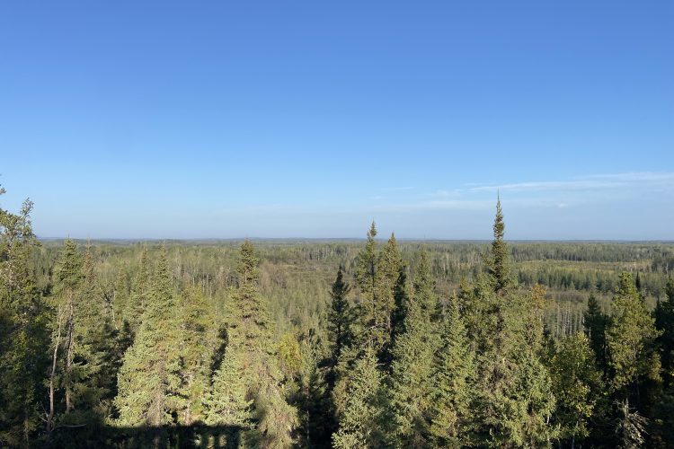
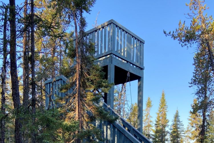
Come enjoy a hike in an area dedicated to the outdoors with access to the Turgeon River, yurts for rent for the night, an observation tower, a shelter for resting on the trail and a restaurant open all year round.
- electrocardiogram Easy
- mountain 2.05 Km (Mixed)
- calendar seasonal
Sections
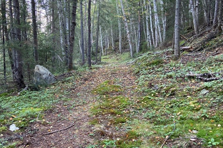
Sentier-La pompeuse
- electrocardiogram Easy
- mountain 0.18 km (Linear)
Sentier-Le Sapeur
- electrocardiogram Easy
- mountain 1.87 km (Linear)
Points of service and interest
Category Name
-
 Point of interest
Pavillion Val Saint-Gilles
48° 59.614'N
Point of interest
Pavillion Val Saint-Gilles
48° 59.614'N
79° 09.522'O -
 Covered picnic table
Table de pique-nique couverte Sentier-La pompeuse
48° 59.613'N
Covered picnic table
Table de pique-nique couverte Sentier-La pompeuse
48° 59.613'N
79° 09.526'O -
 Parking
Stationnement Sentier Val Saint-Gilles
48° 59.757'N
Parking
Stationnement Sentier Val Saint-Gilles
48° 59.757'N
79° 10.084'O -
 Toilet
te Sentier Val Saint-Gilles
48° 59.786'N
Toilet
Toilette Sentier Val Saint-Gilles
48° 59.786'N
79° 10.115'O -
 Restaurant
 Sentier Val Saint-Gilles
48° 59.773'N
Restaurant
Restaurant Sentier Val Saint-Gilles
48° 59.773'N
79° 10.099'O -
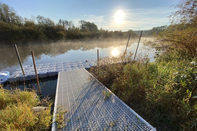
 Dock
Quai sentier Val Saint-Gilles
48° 59.786' N
Dock
Quai sentier Val Saint-Gilles
48° 59.786' N
79° 10.010'O
Accessibility
Access permitted
![]() Free, no attendant
Free, no attendant
Comments social0
Tools ready to go
Info & advice
- Activité
- Animation et interprétation
- Camping
- Care
- Carte et orientation
- Caution
- Emergency
- Encadrement
- Equipment
- Jamais sans mon chien
- Nutrition
-
Prevention
- 10 articles de première nécessité
- Bien s'hydrater
- Comment lire la météo dans les nuages? Faire la pluie et le beau temps !
- Éviter les ampoules aux pieds
- Éviter les mauvaises rencontres en milieu sauvage
- Feu de camp sécuritaire : trois étapes à respecter
- Insectifuges
- Les moustiques
- Lunettes de soleil
- MALADIE DE LYME : PRÉVENIR LES PIQÛRES DE TIQUE EN RANDONNÉE
- Perdu en forêt : quoi faire?
- Se protéger contre le soleil
- Vaporisateur Chasse-ours
- Progression
- Réglementation
- Training
Caution
This sheet has been prepared from information provided by outdoor enthusiasts deemed sufficiently reliable and experienced. Errors or omissions are always possible and Tourisme Abitibi-Témiscamingue cannot accept responsibility for any problem or accident that may arise from this sheet or be attributed to its use. If you notice any errors or omissions during your expedition, we would be very grateful if you would let us know by email pleinair@atrat.org in order to keep our information up to date.
