Home > Hiking > Agnico Eagle 4 Seasons Hiking trail
Agnico Eagle 4 Seasons Hiking trail
Agnico Eagle 4 Seasons Hiking trail
Malartic, Vallée-de-l'Or
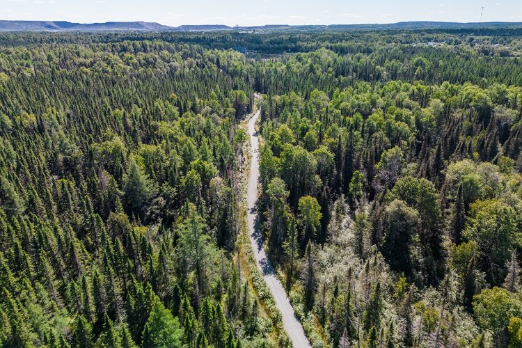
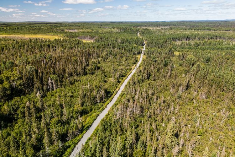
This multifunctional trail stretches for 7 km from Malartic to Rivière-Héva. It puts the spotlight on healthy living and active travel, all in a totally natural environment.
Several ways to enjoy this trail in nature: by bike, hiking and cross-country skiing during the winter season. Fat bike lovers are also welcome in winter as well as summer.
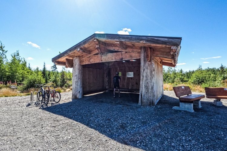
Several rest areas are available along the trail to allow users to take a short break during their journey.
- electrocardiogram Easy
- mountain 6.3 Km (Linear)
- calendar seasonal
Sections
Piste 4 Saisons Agnico Eagle
- electrocardiogram Easy
- mountain 6.31 km (Linear)
- elevation Elevation
Agnico Eagle 4 Seasons Track
- electrocardiogram Easy
- mountain 6.31 km (Linear)
- elevation Elevation
Chemin de la Tour
- electrocardiogram Easy
- mountain 0.66 km (Linear)
- elevation Elevation
Points of service and interest
Category Name
-
Parking Stationnement de l'arche de Malartic 48°8'52,85"N
78°6'50,278"O -
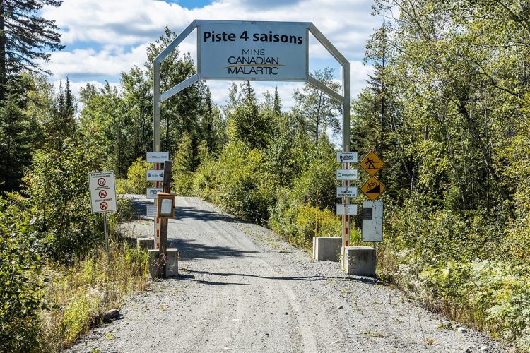
Point of interest Arche Malartic 48°8'53,509"N
78°6'50,717"O -
Bench Banc 48°11'0,046"N
78°7'17,051"O -
Bench Banc 48°10'5,495"N
78°6'57,593"O -
Bench Abri avec bancs 48°10'29,202"N
78°7'5,036"O -
Bench Banc 48°9'11,7"N
78°7'10,038"O -
Bench Banc 48°8'52,804"N
78°6'50,857"O -
Point of interest Arche de Rivière-Héva 48°11'57,988"N
78°7'19,517"O -
Parking Stationnement de l'arche de Rivière-Héva 48°11'59,701"N
78°7'19,175"O
Accessibility
Access Rights
dogs are welcome..
Directions to the starting point
Malartic: near the municipal campsite.
Rivière-Héva: On the way to Lake Malartic.
Specifications
Type: Multifunctional trail
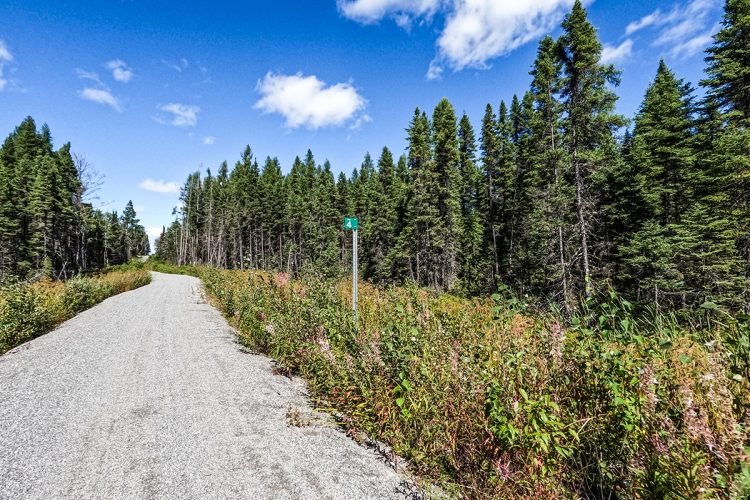
Covering: Stone dust
Comments social0
Tools ready to go
Info & advice
- Activité
- Animation et interprétation
- Camping
- Care
- Carte et orientation
- Caution
- Emergency
- Encadrement
- Equipment
- Jamais sans mon chien
- Nutrition
-
Prevention
- 10 articles de première nécessité
- Bien s'hydrater
- Comment lire la météo dans les nuages? Faire la pluie et le beau temps !
- Éviter les ampoules aux pieds
- Éviter les mauvaises rencontres en milieu sauvage
- Feu de camp sécuritaire : trois étapes à respecter
- Insectifuges
- Les moustiques
- Lunettes de soleil
- MALADIE DE LYME : PRÉVENIR LES PIQÛRES DE TIQUE EN RANDONNÉE
- Perdu en forêt : quoi faire?
- Se protéger contre le soleil
- Vaporisateur Chasse-ours
- Progression
- Réglementation
- Training
Caution
This sheet has been prepared from information provided by outdoor enthusiasts deemed sufficiently reliable and experienced. Errors or omissions are always possible and Tourisme Abitibi-Témiscamingue cannot accept responsibility for any problem or accident that may arise from this sheet or be attributed to its use. If you notice any errors or omissions during your expedition, we would be very grateful if you would let us know by email pleinair@atrat.org in order to keep our information up to date.
Fichier GPX pour GPS
Ce fichier texte est en format GPX. Il contient les données de traces et de points de navigation (waypoints). Il peut être visualisé via un éditeur de texte. Téléchargez gratuitement le gratuiciel GPS Babel pour importer le fichier contenant les traces et les points de navigation dans votre GPS.
Étapes
- Télécharger le fichier GPX
- Ouvrir le logiciel GPS Babel
- Dans la section INPUT, sélectionner « Fichier ». Dans la rubrique Format, à l’aide de la liste déroulante, « GPX XML ». Cliquer sur le bouton File Name(s) pour accéder au fichier GPX téléchargé dans l’ordinateur.
- Dans la section Translation Options, sélectionner « Waypoints » et « Traces ».
- Brancher le GPS à l’ordinateur à l’aide d’un câble USB.
- Dans la section Sortie, sélectionnez « Périphérique ». Choisir le format correspondant à la marque du GPS. Dans la rubrique Nom de périphérique, sélectionner « usb : ».
- Cliquer sur le bouton Appliquer
Agnico Eagle 4 Seasons Hiking trail
Location : |
Agnico Eagle 4 Seasons Hiking trail


