
3 lacs Hiking trails
3 lacs Hiking trails
Preissac, Amos Région
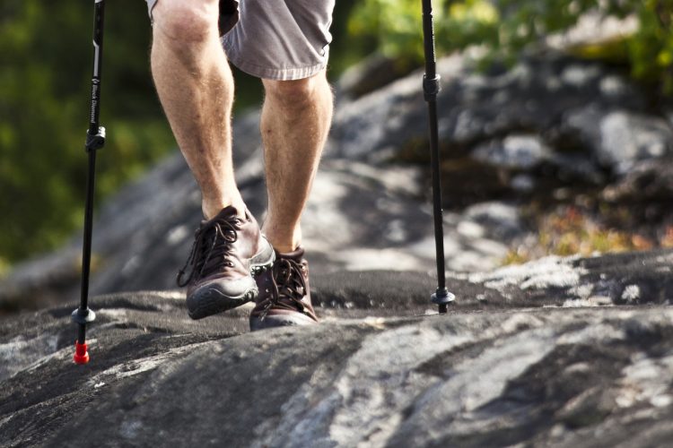
The trail is located at the highest point in the municipality of Preissac. You have access to breathtaking views of the lakes and surrounding hills. You pass near the lakes Preissac, Chassignol and Font bonne where you see the extent of the hudrographic network of the territory. A shelter where you can sleep is located at the end of the route.
- electrocardiogram Easy
- mountain 2.6 Km (Linear)
- calendar seasonal
Points of service and interest
Category Name
 Refuge
 Parking
Accessibility
Access Rights
![]() Free, without visitor facilities.
Free, without visitor facilities.![]() Pets are allowed.
Pets are allowed.
Directions to the starting point
From Amos, follow the 395 south and pass the municipality of Preissac for almost 10 km.
From Val-d'Or, take Route 117 north and turn right on Route 395. Pass the bridge and continue to almost 10 km before the municipality of Preissac.
From Rouyn-Noranda, take Route 117 south and turn left onto Route 395.
Pass the bridge and continue to almost 10 km before the municipality of Preissac.
At this level, the road is called avenue du Lac. The trail is on the right, after the Pointe Road, in the peninsula of Preissac, Fontbonne and Chassignol lakes.
Parking: Free
Coordinates: 48°20'26.9"N 78°23'36.2"O
Contact
T 819 732-4938
Email: info@preissac.com
Visit website
Comments social0
Tools ready to go
- pdf Planification Randonnee Apa
- pdf Equipement Randonnee Pedestre
- pdf Gestion Des Risques Randonnee Pedestre Apa
- pdf Sans Trace Apa
Info & advice
- Activité
- Animation et interprétation
- Camping
- Care
- Carte et orientation
- Caution
- Emergency
- Encadrement
- Equipment
- Jamais sans mon chien
- Nutrition
-
Prevention
- 10 articles de première nécessité
- Bien s'hydrater
- Comment lire la météo dans les nuages? Faire la pluie et le beau temps !
- Éviter les ampoules aux pieds
- Éviter les mauvaises rencontres en milieu sauvage
- Feu de camp sécuritaire : trois étapes à respecter
- Insectifuges
- Les moustiques
- Lunettes de soleil
- MALADIE DE LYME : PRÉVENIR LES PIQÛRES DE TIQUE EN RANDONNÉE
- Perdu en forêt : quoi faire?
- Se protéger contre le soleil
- Vaporisateur Chasse-ours
- Progression
- Réglementation
- Training
Caution
This sheet has been prepared from information provided by outdoor enthusiasts deemed sufficiently reliable and experienced. Errors or omissions are always possible and Tourisme Abitibi-Témiscamingue cannot accept responsibility for any problem or accident that may arise from this sheet or be attributed to its use. If you notice any errors or omissions during your expedition, we would be very grateful if you would let us know by email pleinair@atrat.org in order to keep our information up to date.