
Lac des Sœurs hiking trail
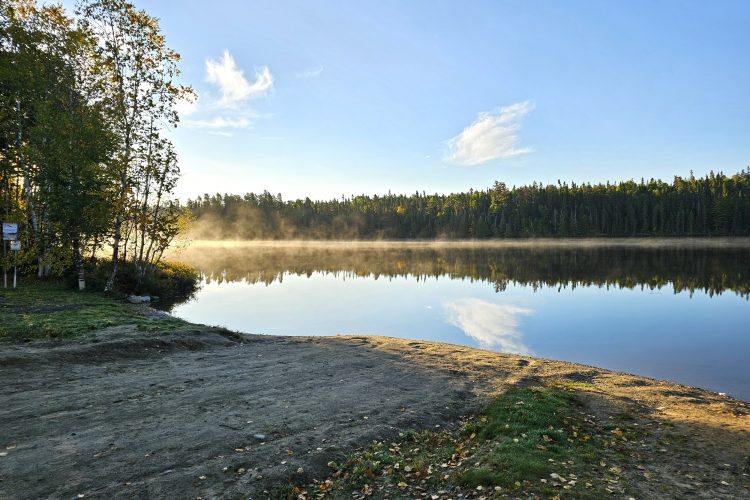
Lac des Sœurs hiking trail
Val-d'Or, Vallée-de-l'Or
- mountain 4 Km (Loop)
- calendar seasonal
Sections
Sentier Pédestre-Lac des Soeurs
- mountain 3.43 km (Mixed)
Points of service and interest
Category Name
 Parking
 Toilet
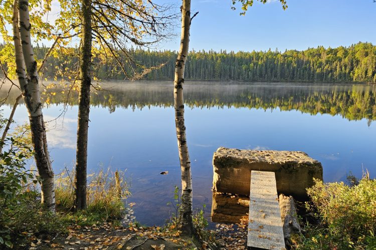
 Boat launching site
Accessibility
Access Rights
 Free, no welcome center.
Directions to the starting point
From Val-d'Or at the roundabout of QC-117 N, take boulevard Jean-Jacques-Cossette/QC-397 N (6.6 KM). Turn left onto the Val-du-Repos road (3.1 km). Turn right on rue du Souvenir (500 m). The destination is at the end of the street at the entrance to the Lac des Soeurs.
![]() View the route from your location on Google Map
View the route from your location on Google Map
Parking on the beach : Free. Position : 48°10'52,7"N | 77°43'12,2"O
Specifications
COATING
- Trails in stone dust
SERVICES
- Picnic area on the site at Lac des Soeurs
Natural Environment
Wildlife
The Sisters' Lake has been seeded with rainbow trout.
Comments social0
Tools ready to go
Info & advice
- Activité
- Animation et interprétation
- Camping
- Care
- Carte et orientation
- Caution
- Emergency
- Encadrement
- Equipment
- Jamais sans mon chien
- Nutrition
-
Prevention
- 10 articles de première nécessité
- Bien s'hydrater
- Comment lire la météo dans les nuages? Faire la pluie et le beau temps !
- Éviter les ampoules aux pieds
- Éviter les mauvaises rencontres en milieu sauvage
- Feu de camp sécuritaire : trois étapes à respecter
- Insectifuges
- Les moustiques
- Lunettes de soleil
- MALADIE DE LYME : PRÉVENIR LES PIQÛRES DE TIQUE EN RANDONNÉE
- Perdu en forêt : quoi faire?
- Se protéger contre le soleil
- Vaporisateur Chasse-ours
- Progression
- Réglementation
- Training
Caution
This sheet has been prepared from information provided by outdoor enthusiasts deemed sufficiently reliable and experienced. Errors or omissions are always possible and Tourisme Abitibi-Témiscamingue cannot accept responsibility for any problem or accident that may arise from this sheet or be attributed to its use. If you notice any errors or omissions during your expedition, we would be very grateful if you would let us know by email pleinair@atrat.org in order to keep our information up to date.
