
Mont Bell Hiking Trail
Mont Bell Hiking Trail
Senneterre, Vallée-de-l'Or
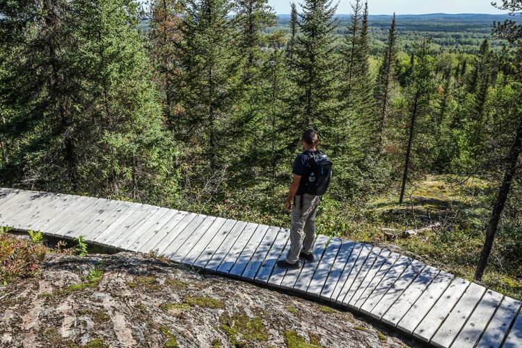
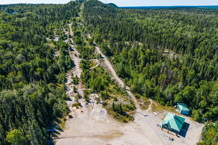
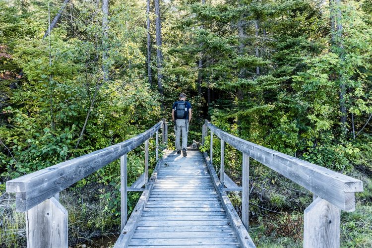
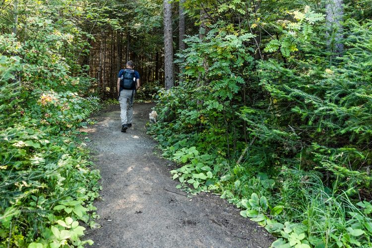
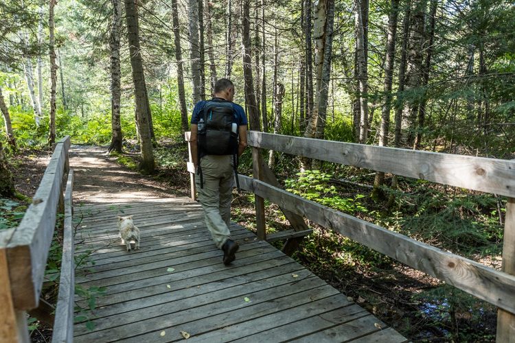
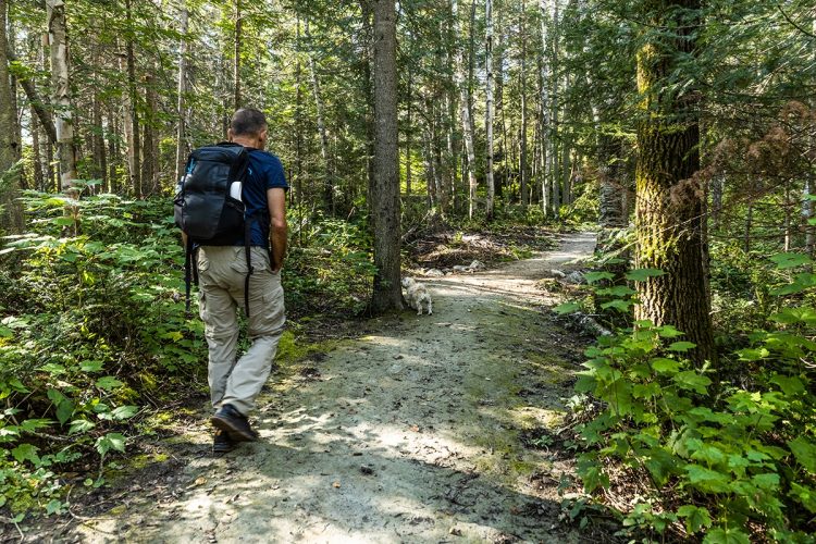
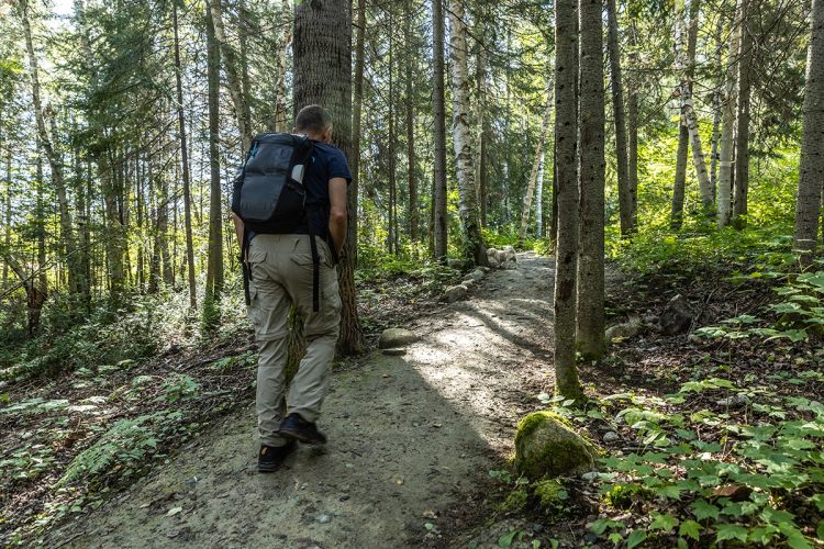
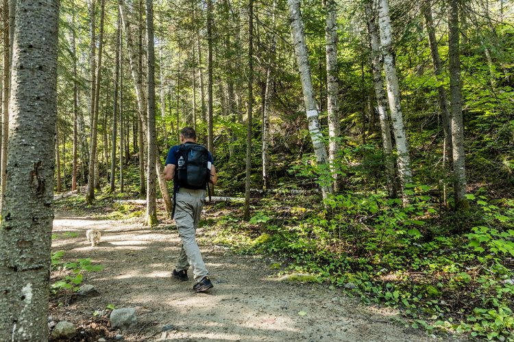
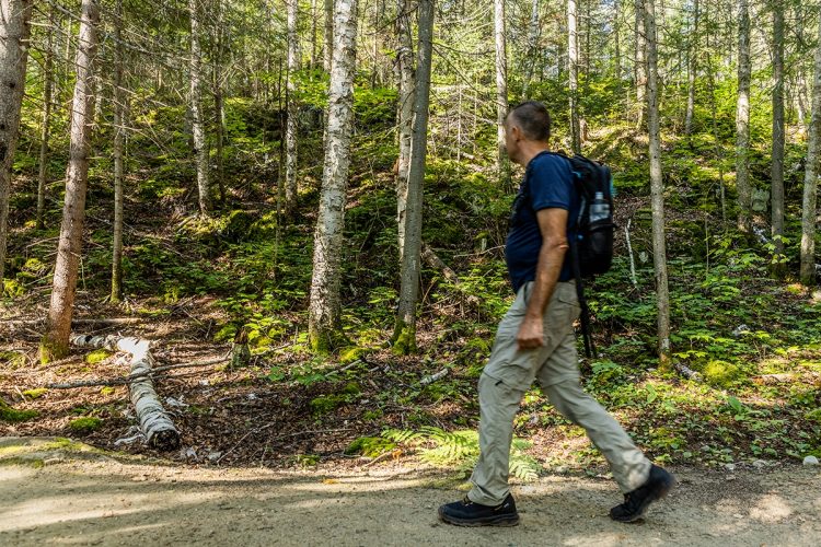
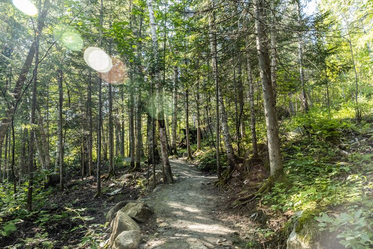
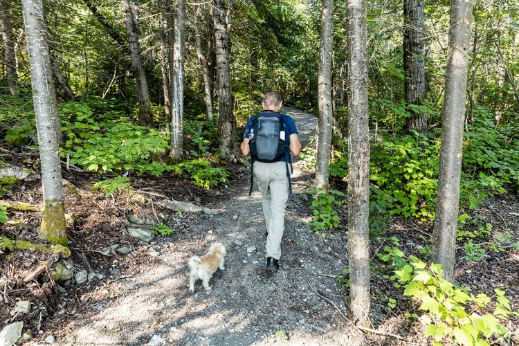
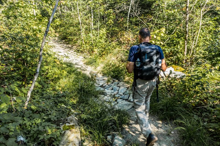
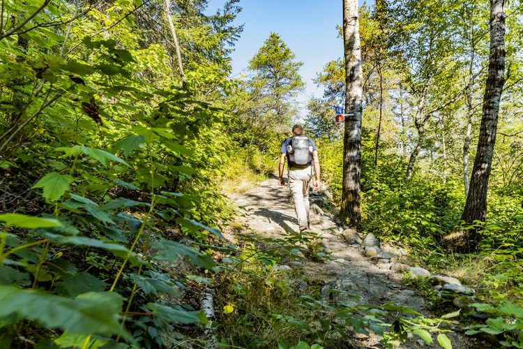
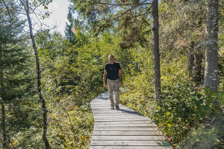
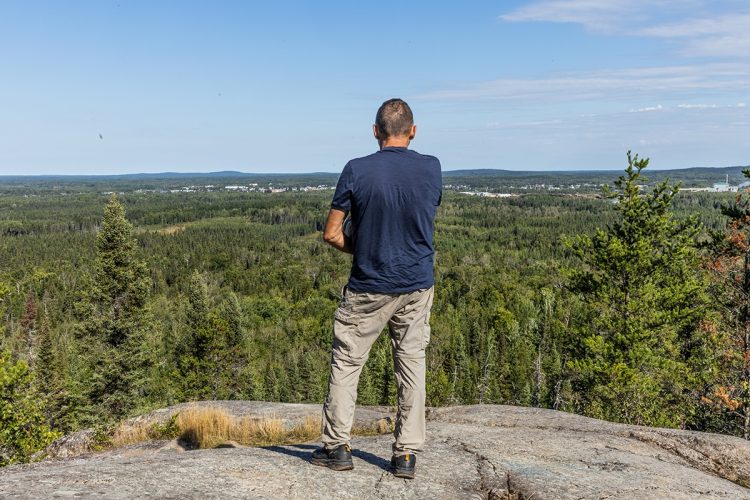
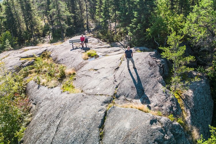
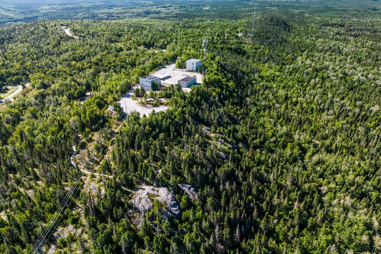
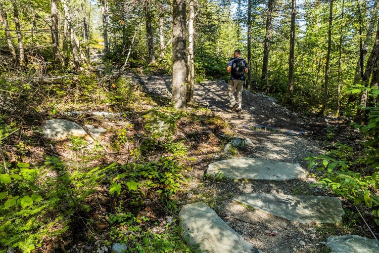
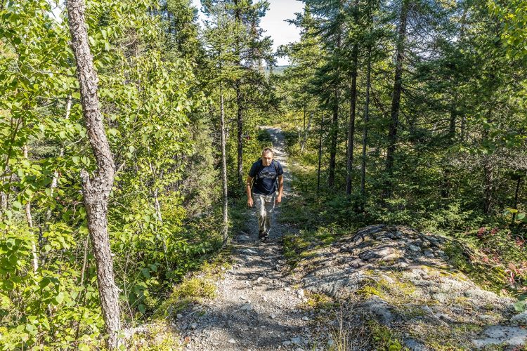
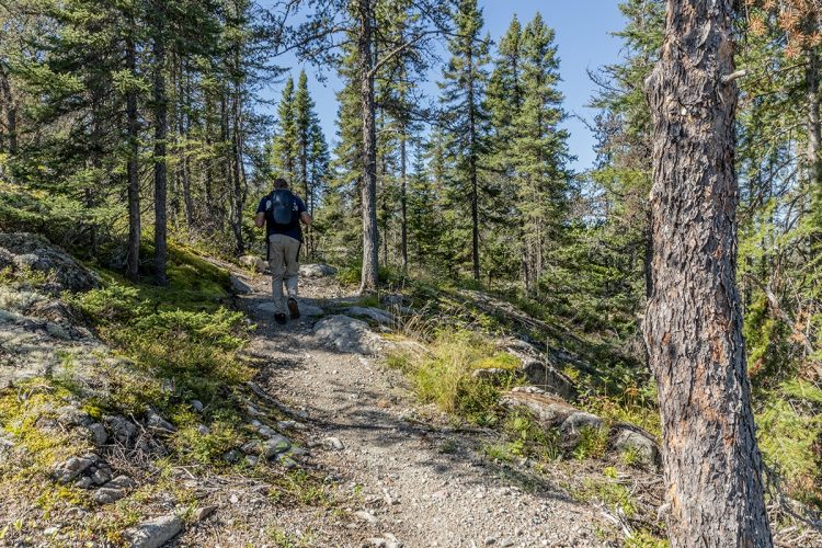
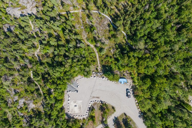
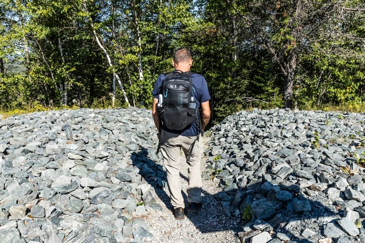
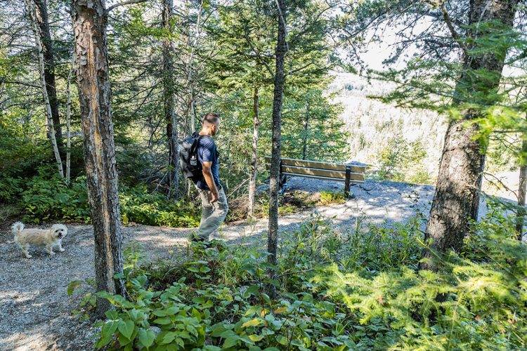
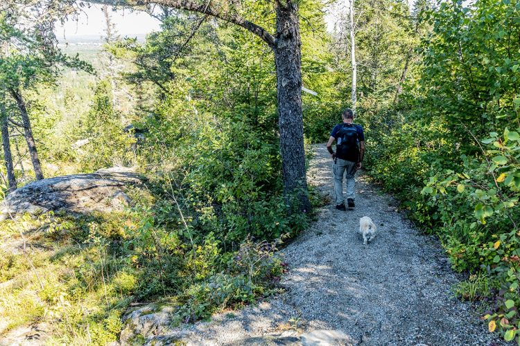
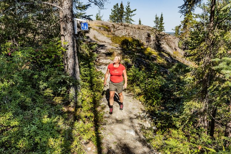
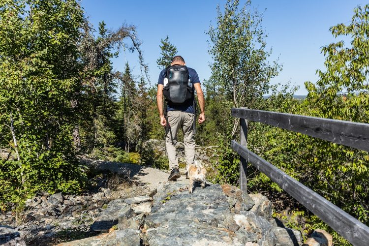
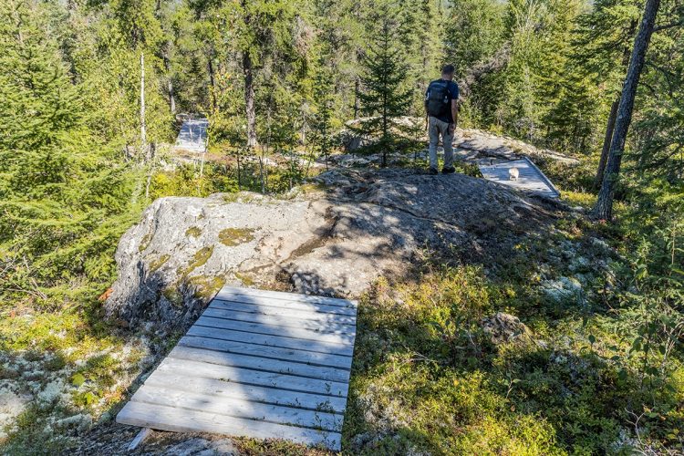
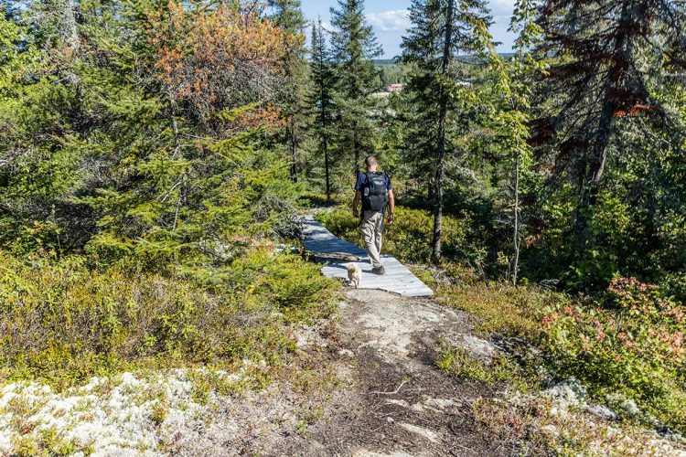
Several kilometers of trails shared between hikers and mountain bikers criss-cross the mountainous territory of Mont-Bell at an altitude of 411 meters. The flora is rich in this deciduous forest which is rare at this geographical altitude usually dominated by conifers. You will climb on trails through beautiful pines, fir and spruce, birch and maple trees, tread wooden walkways to access viewpoints on stone mounds to embrace the horizon. As you reach the summit, you will admire the giant mural depicting the years of operations at Le Radar military base. A few steps away, a metal gazebo offers views of the town of Senneterre and Parent Lake. The view of the territory that extends as far as the eye can see is worth the trip. Trails around the mountain are also available to stretch out the pleasure of this mesmerizing immersion in nature.
SEE THE SUMMER TRAIL MAP
- electrocardiogram Easy to Moderate
- mountain 15 Km (Mixed)
- calendar seasonal
Points of service and interest
Category Name
 Parking
 Bike for rent
Accessibility
Access Rights
 Free, with no reception infrastructure.
 Pets are allowed.
Directions to the starting point
From Senneterre, take avenue du Parc towards chemin du Mont-Bell (former military base).
Parking: free Position : 48°22'03.4"N 77°13'13.8"O
![]() View the route from your location on Google Maps
View the route from your location on Google Maps
Contact
301, chemin du Mont-Bell, Senneterre, Québec, J0Y 2M0 T 819 737-2296 post 501
Email : info@ville.senneterre.qc.ca or eross@ville.senneterre.qc.ca
Specifications
- Elevation difference of 105 meters maximum
Comments social0
Tools ready to go
- pdf Planification Randonnee Apa
- pdf Equipement Randonnee Pedestre
- pdf Gestion Des Risques Randonnee Pedestre Apa
- pdf Sans Trace Apa
Info & advice
- Activité
- Animation et interprétation
- Camping
- Care
- Carte et orientation
- Caution
- Emergency
- Encadrement
- Equipment
- Jamais sans mon chien
- Nutrition
-
Prevention
- 10 articles de première nécessité
- Bien s'hydrater
- Comment lire la météo dans les nuages? Faire la pluie et le beau temps !
- Éviter les ampoules aux pieds
- Éviter les mauvaises rencontres en milieu sauvage
- Feu de camp sécuritaire : trois étapes à respecter
- Insectifuges
- Les moustiques
- Lunettes de soleil
- MALADIE DE LYME : PRÉVENIR LES PIQÛRES DE TIQUE EN RANDONNÉE
- Perdu en forêt : quoi faire?
- Se protéger contre le soleil
- Vaporisateur Chasse-ours
- Progression
- Réglementation
- Training
Caution
This sheet has been prepared from information provided by outdoor enthusiasts deemed sufficiently reliable and experienced. Errors or omissions are always possible and Tourisme Abitibi-Témiscamingue cannot accept responsibility for any problem or accident that may arise from this sheet or be attributed to its use. If you notice any errors or omissions during your expedition, we would be very grateful if you would let us know by email pleinair@atrat.org in order to keep our information up to date.