
La Bannik hiking trail
La Bannik hiking trail
Duhamel-Ouest, Témiscamingue
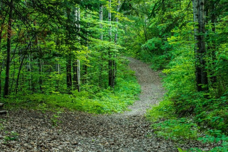
The estate covers an area of 70 hectares, covered with a forest composed of pine, red spruce, thuja and fir. The path winds through the forest and climbs a mountain. A first belvedere offers a view of Lake Témiscamingue, a second one on a part of Duhamel-Ouest. Along the way, birds can be observed through feeders.
- electrocardiogram Moderate
- mountain 5.8 Km (Mixed)
- calendar seasonal
Points of service and interest
Category Name
-
 Parking
Stationnement La Bannik des sentiers récréatifs d'hiver
47°17'29.6"N
Parking
Stationnement La Bannik des sentiers récréatifs d'hiver
47°17'29.6"N
79°27'12.1"O -
 Heritage visit
Lieu historique national du Canada du Fort-Témiscamingue
47°17'19.8”N
Heritage visit
Lieu historique national du Canada du Fort-Témiscamingue
47°17'19.8”N
79°27'40.7”O -
 Dock
Quai du complexe récréotouristique La Bannik
(862, chemin du Vieux-Fort, Duhamel-Ouest)
47°17'26.2"N
Dock
Quai du complexe récréotouristique La Bannik
(862, chemin du Vieux-Fort, Duhamel-Ouest)
47°17'26.2"N
79°27'12.0"O -
 Bike for rent
Plage La Bannik
47°17'26.2"N
Bike for rent
Plage La Bannik
47°17'26.2"N
79°27'13.5"O -
 Belvedere
Belvédère de la Bannik
47°17'37.9"N
Belvedere
Belvédère de la Bannik
47°17'37.9"N
79°26'56.8"O -
Belvedere
Belvédère du Corbeau
47°17'39.3"N
79°26'48.1"O
Accessibility
Access Rights
Free, no reception infrastructure.
Pets are allowed.
Directions to the starting point
From Ville-Marie, take Route 101 south for about 5 km. Turn right on the chemin du Vieux-Fort and follow the signs.
Parking: Free
Location: 47°17'28.8"N 79°27'11.6"W
Contact
862 Chemin du Vieux-Fort, Duhamel-Ouest, Quebec, J9V 1N7
P 819 622-0922 or 877 322-0922
Email: info@bannik.ca
Specifications
- Elevation: maximum of 200 meters
Comments social0
Tools ready to go
- pdf Planification Randonnee Apa
- pdf Equipement Randonnee Pedestre
- pdf Gestion Des Risques Randonnee Pedestre Apa
- pdf Sans Trace Apa
Info & advice
- Activité
- Animation et interprétation
- Camping
- Care
- Carte et orientation
- Caution
- Emergency
- Encadrement
- Equipment
- Jamais sans mon chien
- Nutrition
-
Prevention
- 10 articles de première nécessité
- Bien s'hydrater
- Comment lire la météo dans les nuages? Faire la pluie et le beau temps !
- Éviter les ampoules aux pieds
- Éviter les mauvaises rencontres en milieu sauvage
- Feu de camp sécuritaire : trois étapes à respecter
- Insectifuges
- Les moustiques
- Lunettes de soleil
- MALADIE DE LYME : PRÉVENIR LES PIQÛRES DE TIQUE EN RANDONNÉE
- Perdu en forêt : quoi faire?
- Se protéger contre le soleil
- Vaporisateur Chasse-ours
- Progression
- Réglementation
- Training
Caution
This sheet has been prepared from information provided by outdoor enthusiasts deemed sufficiently reliable and experienced. Errors or omissions are always possible and Tourisme Abitibi-Témiscamingue cannot accept responsibility for any problem or accident that may arise from this sheet or be attributed to its use. If you notice any errors or omissions during your expedition, we would be very grateful if you would let us know by email pleinair@atrat.org in order to keep our information up to date.