
Lake Rouyn Hiking Trails

Lake Rouyn Hiking Trails
Rouyn-Noranda, Rouyn-Noranda
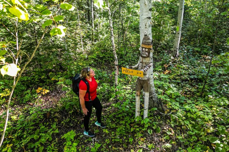
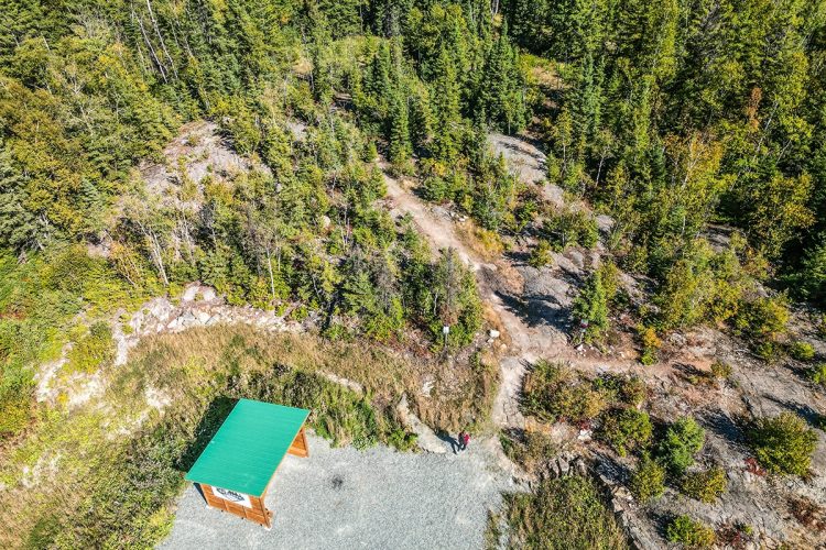
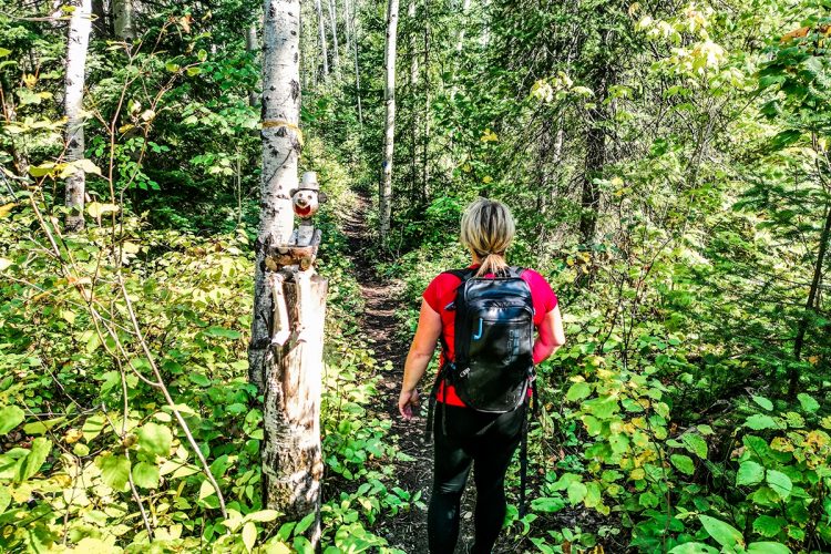
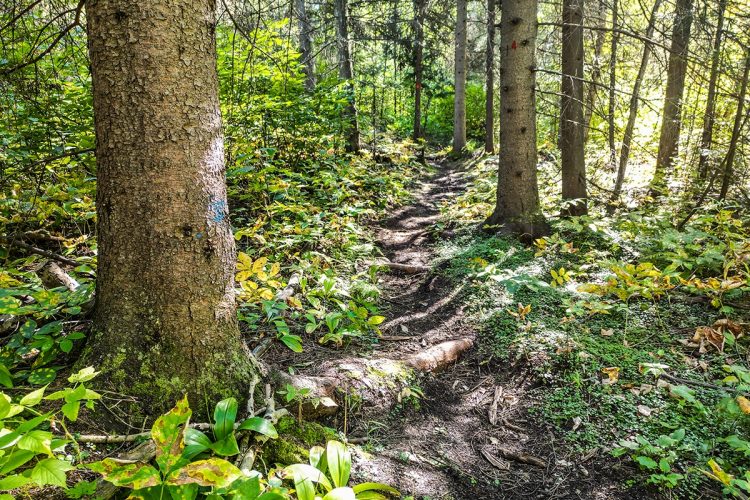
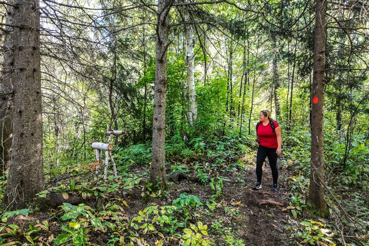
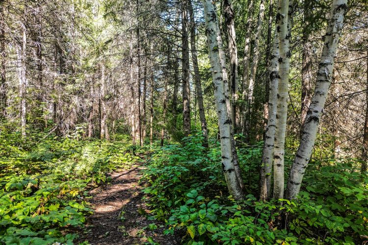
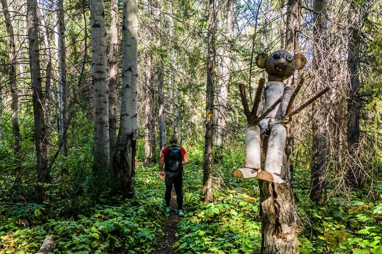
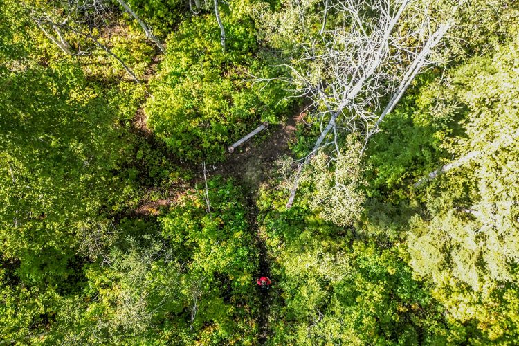
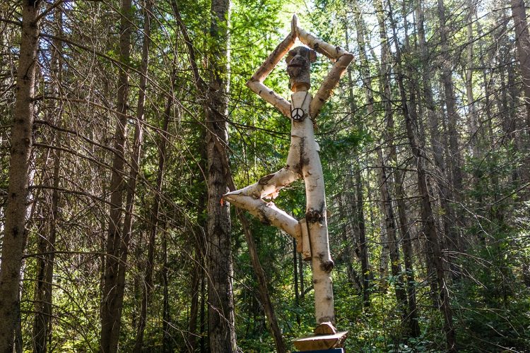
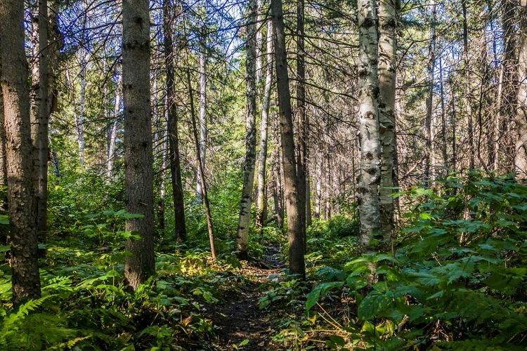
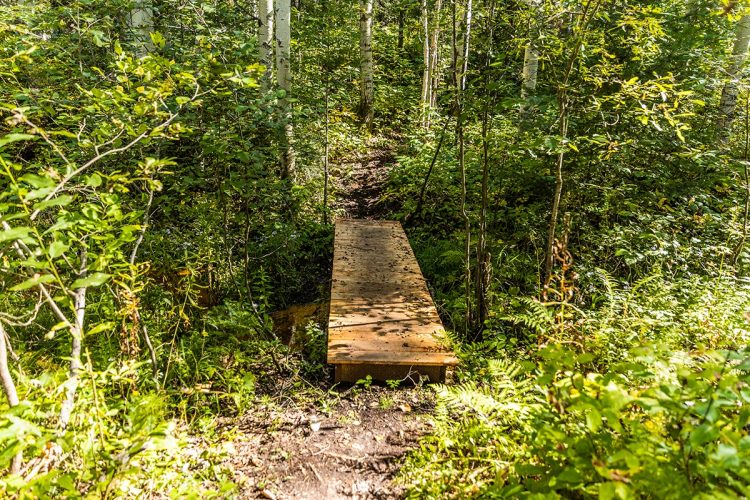
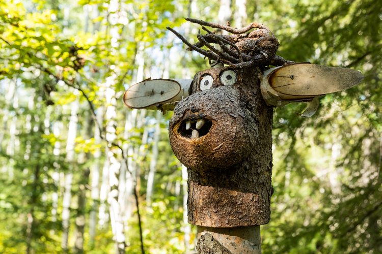
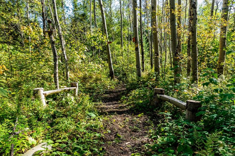
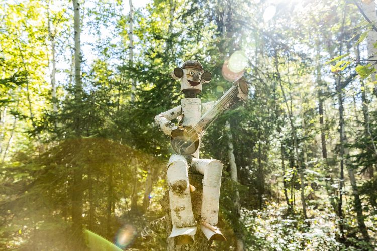
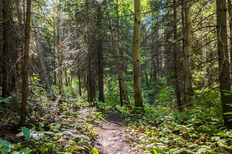
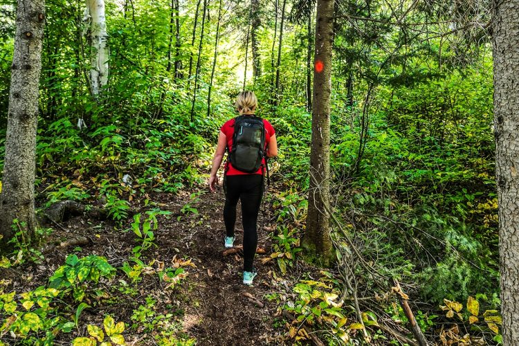
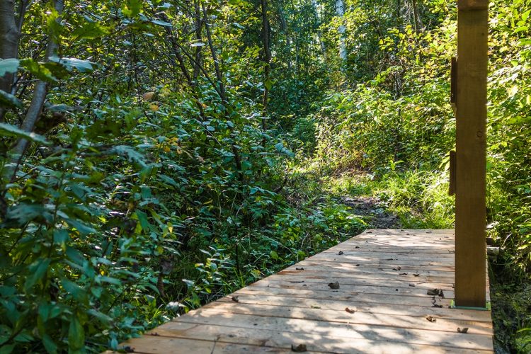
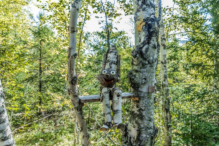
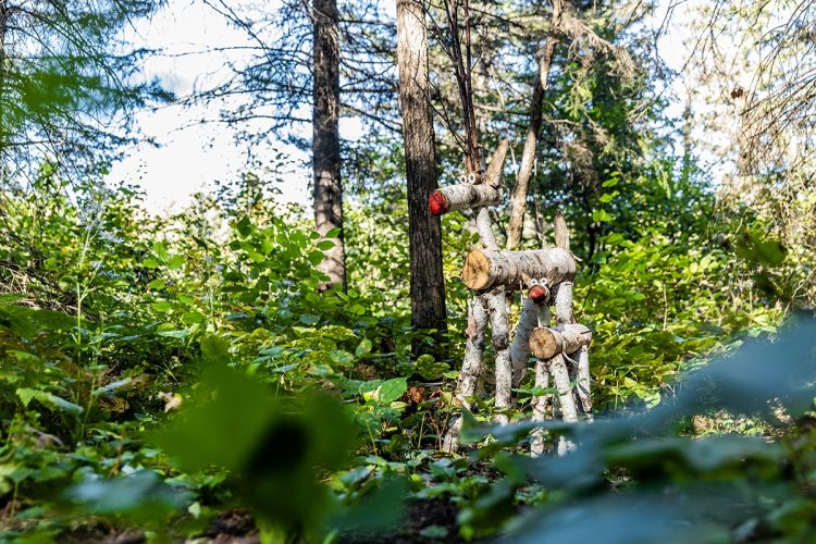
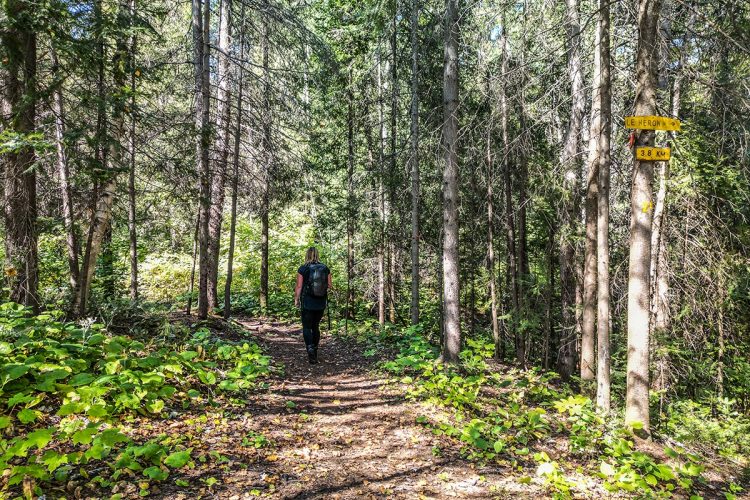
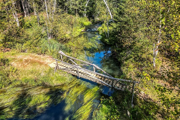
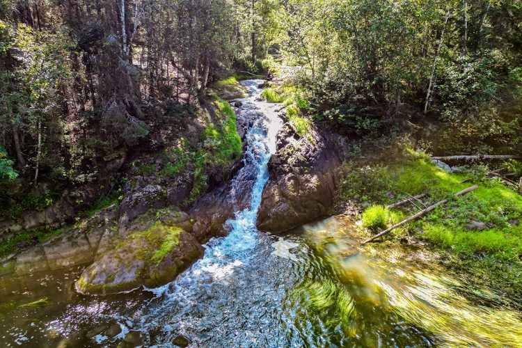
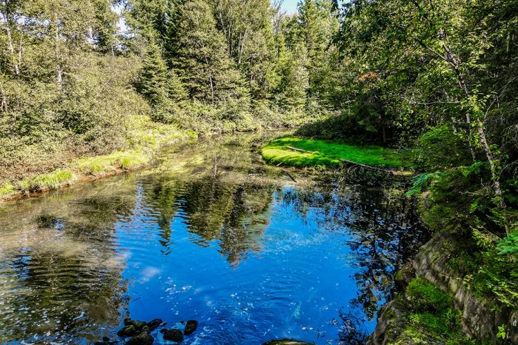
This splendid network of trails located north of Lake Rouyn is the perfect place to move with family or friends. Discover the 32 marked trails on each side of Osisko Creek and admire the passage of magnificent sculptures of wooden characters, the splendid Osisko waterfall from a 48-foot footbridge and some beautiful viewpoints on Lake Rouyn and its surroundings.
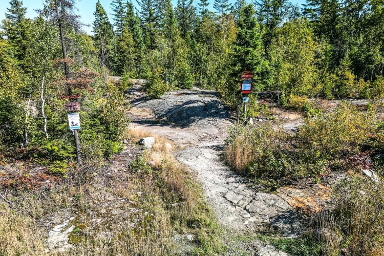
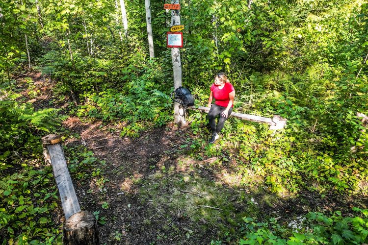
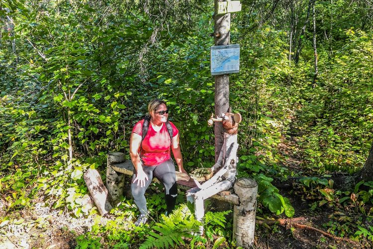
A map with the words "You are here" is present at each intersection.
In summer, prioritize those leaving the main parking lot at the north entrance. With the multitude of trails offered, it is advisable to prioritize certain routes to appreciate the points of interest. Click here to see the 5 suggested routes for the summer.
In winter, the trails are all accessible.
- electrocardiogram Easy
- mountain 31 Km (Mixed)
- calendar annual
Sections
1- Le Lynx
- electrocardiogram Easy
- mountain 2.74 km (Linear)
1- Du Lynx
- electrocardiogram Easy
- mountain 2.74 km (Linear)
2- Le Loup
- electrocardiogram Easy
- mountain 1.51 km (Linear)
3- Le Castor
- electrocardiogram Easy
- mountain 1.31 km (Linear)
4- La Moufette
- electrocardiogram Easy
- mountain 1.02 km (Linear)
5- L'Écureuil
- electrocardiogram Easy
- mountain 0.63 km (Linear)
6- Le Caribou
- electrocardiogram Easy
- mountain 1.24 km (Linear)
7- Le Renard
- electrocardiogram Easy
- mountain 2.03 km (Linear)
8- Le Coyotte
- electrocardiogram Easy
- mountain 0.62 km (Linear)
9- Le Lièvre
- electrocardiogram Easy
- mountain 1.25 km (Linear)
10- L'Orignal
- electrocardiogram Easy
- mountain 1.33 km (Linear)
11- La Martre
- electrocardiogram Easy
- mountain 1.61 km (Linear)
12- La Loutre
- electrocardiogram Easy
- mountain 0.54 km (Linear)
13- Le Vison
- electrocardiogram Easy
- mountain 0.48 km (Linear)
14- Le Pic
- electrocardiogram Easy
- mountain 0.57 km (Linear)
15- Le Pékan
- electrocardiogram Easy
- mountain 1.11 km (Linear)
16- L'Oiseau
- electrocardiogram Easy
- mountain 1.06 km (Linear)
17- Le Porc-épic
- electrocardiogram Easy
- mountain 0.36 km (Linear)
18- La Perdrix
- electrocardiogram Easy
- mountain 0.14 km (Linear)
19- Le Tamia
- electrocardiogram Easy
- mountain 0.57 km (Linear)
20- La Belette
- electrocardiogram Easy
- mountain 0.15 km (Linear)
21- La Mésange
- electrocardiogram Easy
- mountain 0.97 km (Linear)
21- La Mésange - détour
- electrocardiogram Easy
- mountain 0.19 km (Linear)
22- L'Ours
- electrocardiogram Easy
- mountain 2.42 km (Linear)
23- Le Cerf
- electrocardiogram Easy
- mountain 1.48 km (Linear)
24- Le Héron
- electrocardiogram Easy
- mountain 3.65 km (Linear)
24- Le Héron - point de vue
- electrocardiogram Easy
- mountain 0.08 km (Linear)
25- La Pie
- electrocardiogram Easy
- mountain 0.15 km (Linear)
26- La Marmotte
- electrocardiogram Easy
- mountain 0.93 km (Linear)
27- Le Bruant
- electrocardiogram Easy
- mountain 0.23 km (Linear)
28- La Grue
- electrocardiogram Easy
- mountain 0.38 km (Linear)
29- Le Goéland
- electrocardiogram Easy
- mountain 0.33 km (Linear)
30- L'Aigle
- electrocardiogram Easy
- mountain 0.18 km (Linear)
31- La Taupe
- electrocardiogram Easy
- mountain 0.07 km (Linear)
32- La Souris
- electrocardiogram Easy
- mountain 0.03 km (Linear)
Points of service and interest
Category Name
-
 Parking
Stationnement du lac Rouyn
48°14'44,7"N
Parking
Stationnement du lac Rouyn
48°14'44,7"N
78°58'25,716"O -
Parking
Stationnement des sentiers du lac Rouyn
48°13'45.336"N
78°58'58.764"O -
Parking
Stationnement #3 des sentiers du lac Rouyn
48°15'07.6"N
78°58'04.3"O -
Parking
Stationnement #2 des sentiers du lac Rouyns
48°15'7.416"N
78°57'32.436"O -
Parking
Stationnement lac Rouyn
48°14'38.8"N
78°56'58.9"O -
 Launching ramp
Rampe de mise à l'eau du lac Rouyn
48°14'35.5"N
Launching ramp
Rampe de mise à l'eau du lac Rouyn
48°14'35.5"N
78°56'58.8"O -
 Fall / waterfall
Chute Osisko
48°14'36.564"N
Fall / waterfall
Chute Osisko
48°14'36.564"N
78°57'07.812"O -
 Bridge
Pont
48°14'11,184"N
Bridge
Pont
48°14'11,184"N
78°57'53,604"O -
Bridge
Pont
48°14'35,988"N
78°57'9,072"O -
 Panorama
Point de vue
48°14'7,764"N
Panorama
Point de vue
48°14'7,764"N
78°57'53,496"O -
Panorama
Point de vue
48°14'26,016"N
78°57'33,588"O -
Panorama
Point de vuep
48°14'26,484"N
78°57'25,776"O -
Panorama
Point de vue
48°14'52,116"N
78°55'54,984"O -
 Belvedere
Observatoire
48°14'31,128"N
Belvedere
Observatoire
48°14'31,128"N
78°58'21,36"O -
 Bench
Banc
48°14'36,78"N
Bench
Banc
48°14'36,78"N
78°57'8,676"O -
Mangeoire à oiseaux
48°13'54,012"N
78°58'15,6"O -
Mangeoire à oiseauxi
48°14'41,784"N
78°58'20,712"O -
Mangeoire à oiseaux
48°14'42,54"N
78°58'8,724"O
Accessibility
Access Rights
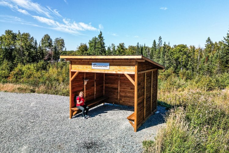
 Free, no welcome center.
 ![]() Dogs are welcome.
Dogs are welcome.
Directions to the starting point
MAIN ENTRANCE ON OSISCO ROAD (BYPASS):
From Rouyn-Noranda, take Larivière Avenue (QC-117 South). At the roundabout, take the 2nd exit towards Osisko Road (bypass). Turn right at the intersection of Perreault Street East to reach the parking lot.
Parking (large) : Free, open all year.
Position : 48°14'44.1"N | 78°58'26,7"O
![]() View the route from your location on Google Map
View the route from your location on Google Map
SECONDARY ENTRANCE ON AVENUE SAINTE-BERNADETTE
From Rouyn-Noranda, take boulevard Témiscamingue (route 391 South) towards the Beaudry district (9.8 km). The destination is on your right before Chemin Lavigne Ouest.
![]() View the route from your location on Google Map
View the route from your location on Google Map
Parking (small) : Free.
Position : 48°13'45.4"N | 78°58'59.2"O
Beaconing
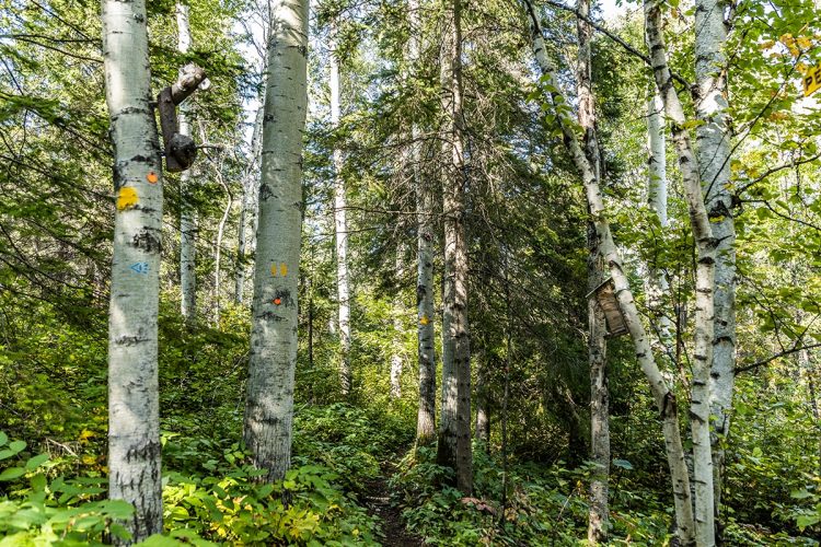
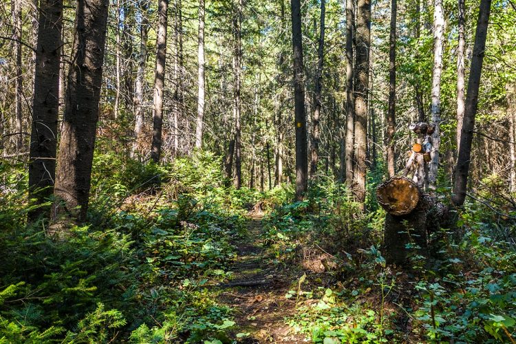
Wooden signs with the names of the trails engraved indicate the way to follow.
Comments social0
Tools ready to go
- map Guide map (PDF)
- mapsquare Download GPS track (GPX)
- Google driving directions
-
 Sunrise : 07:20
Sunset : 18:47 -
Equipment for rent RécréOsisko
- pdf Planification Randonnee Apa
- pdf Equipement Randonnee Pedestre
- pdf Gestion Des Risques Randonnee Pedestre Apa
- pdf Sans Trace Apa
Info & advice
- Activité
- Animation et interprétation
- Camping
- Care
- Carte et orientation
- Caution
- Emergency
- Encadrement
- Equipment
- Jamais sans mon chien
- Nutrition
-
Prevention
- 10 articles de première nécessité
- Bien s'hydrater
- Comment lire la météo dans les nuages? Faire la pluie et le beau temps !
- Éviter les ampoules aux pieds
- Éviter les mauvaises rencontres en milieu sauvage
- Feu de camp sécuritaire : trois étapes à respecter
- Insectifuges
- Les moustiques
- Lunettes de soleil
- MALADIE DE LYME : PRÉVENIR LES PIQÛRES DE TIQUE EN RANDONNÉE
- Perdu en forêt : quoi faire?
- Se protéger contre le soleil
- Vaporisateur Chasse-ours
- Progression
- Réglementation
- Training
Caution
This sheet has been prepared from information provided by outdoor enthusiasts deemed sufficiently reliable and experienced. Errors or omissions are always possible and Tourisme Abitibi-Témiscamingue cannot accept responsibility for any problem or accident that may arise from this sheet or be attributed to its use. If you notice any errors or omissions during your expedition, we would be very grateful if you would let us know by email pleinair@atrat.org in order to keep our information up to date.
