Home > Hiking > Mont Chaudron Hiking Trails
Mont Chaudron Hiking Trails
Mont Chaudron Hiking Trails
Rouyn-Noranda (Arntfield), Rouyn-Noranda
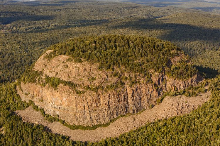
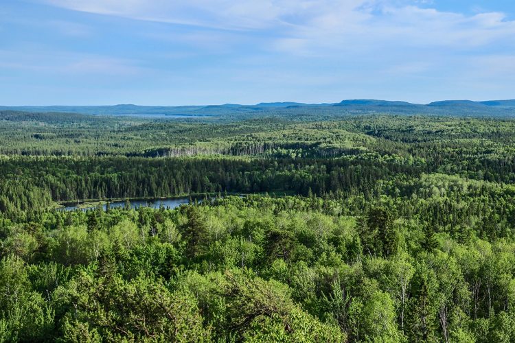
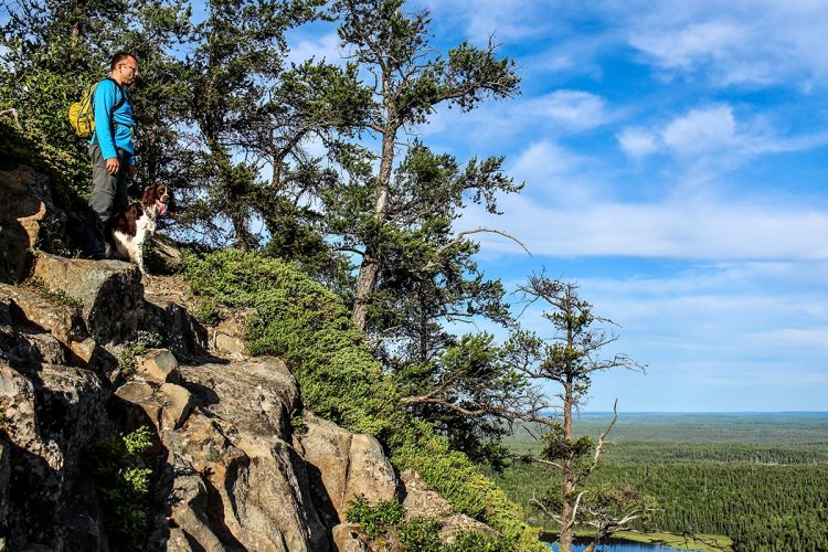
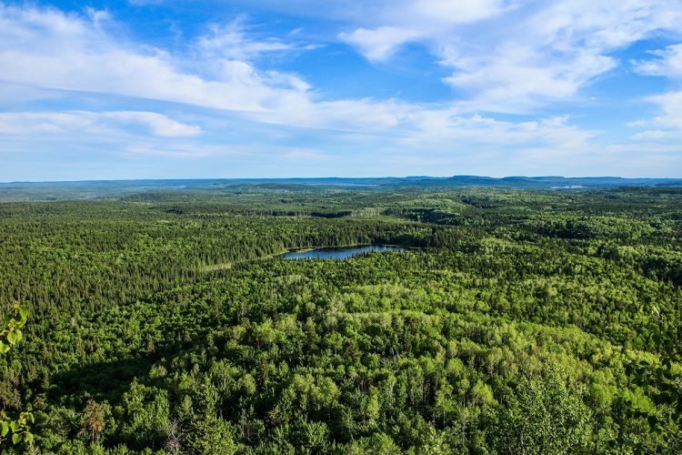
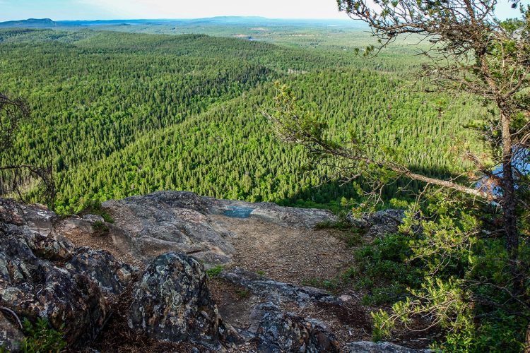
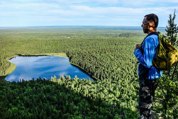
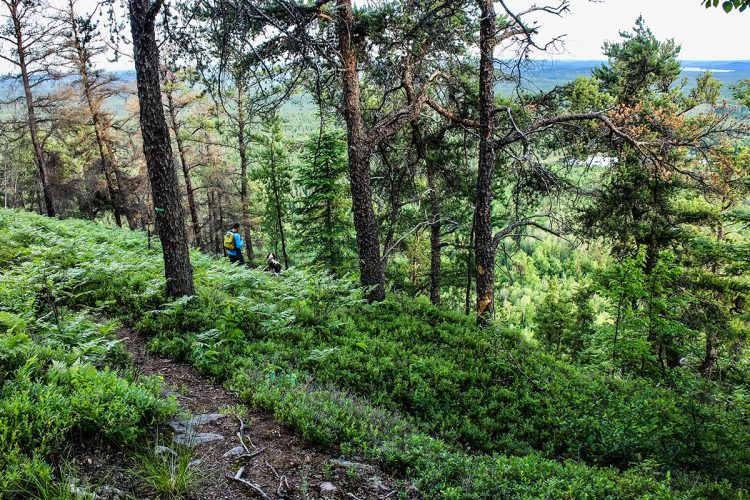
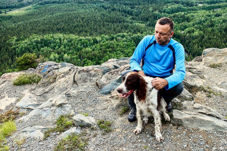
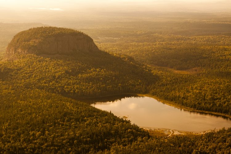
Mount Chaudron is an inselberg, a geological anomaly on the border of Ontario and Quebec, one of the highest peaks in the region. It is located near the remarkable landscape and forest features adjacent to the planned ecological reserve of Clinchamp Creek and Mount Kanasuta, north of Highway 117. The name "Cauldron" was given because the mount resembles an inverted pot, a cast-iron pot used by natives and woodcutters to cook food.
- electrocardiogram Demanding
- mountain 2 Km (Mixed)
- calendar seasonal
Sections
Le Cap Nord-Est
- electrocardiogram Easy
- mountain 0.45 km (Linear)
- elevation Elevation
La montée escarpée
- electrocardiogram Easy
- mountain 0.54 km (Linear)
- elevation Elevation
La Traverse
- electrocardiogram Easy
- mountain 0.28 km (Linear)
- elevation Elevation
Le Cap Sud-Ouest
- electrocardiogram Easy
- mountain 0.43 km (Linear)
- elevation Elevation
The steep climb
- electrocardiogram Very demanding
- mountain 0.54 km (Linear)
- elevation Elevation
The North-East Cape
- electrocardiogram Demanding
- mountain 0.45 km (Loop)
- elevation Elevation
The South West Cape
- electrocardiogram Moderate
- mountain 0.43 km (Loop)
- elevation Elevation
The Traverse
- electrocardiogram Easy
- mountain 0.28 km (Linear)
- elevation Elevation
Points of service and interest
Category Name
-
Parking Stationnement du Mont Chaudron 48°8'11,393"N
79°30'46,773"O -
Panorama Vue panoramique 48°8'17,603"N
79°30'24,88"O -
Panorama Vue panoramique 48°8'19,138"N
79°30'37,787"O -
Panorama Vue panoramique 48°8'15,363"N
79°30'25,358"O -
Panorama Vue panoramique 48°8'12,547"N
79°30'26,693"O -
Panorama Vue panoramique 48°8'17,218"N
79°30'39,03"O
Accessibility
Access Rights
Free, no welcome center.
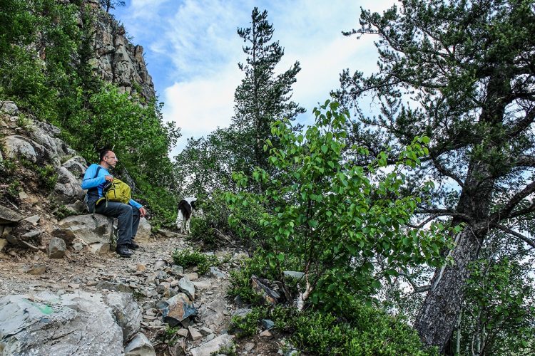
Pets are allowed.
Directions to the starting point
Heading towards Ontario on Mont-Chaudron Road (Route 117 North), 19.5 km from the fork in Route 101 (just before the Ontario border) turn left (south) onto a gravel road for 1.2 km.
Parking: free
Specifications
- Observation de la base du mont.
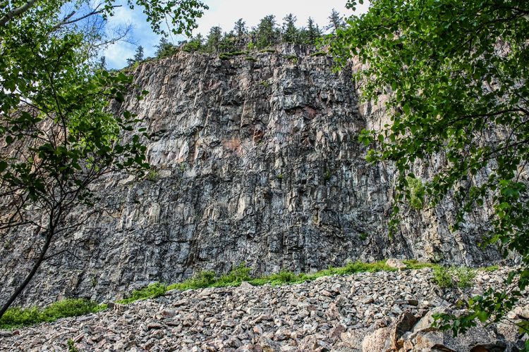
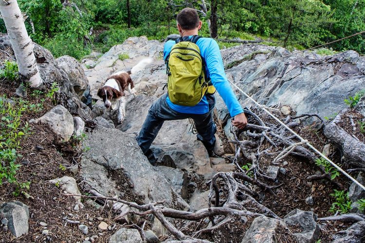
- Ascension à vos risque non recommandée car très périlleuse.
Natural Environment
Geomorphology
Geologists argue that the peaks of these hills are probably the remains of an ancient peneplaine, a large space with low gradients, This is the result of long-term erosion and coalescence in the water basins at an altitude of 480 to 510 metres in western Abitibi. The glaciers that moved south later, and these are the same ones that covered part of the Ohio Valley. The resistance of the rock to the advance of glaciers gives a form of mound of sedimentary rocks. From the air, it is obvious that the glacial movement was diverted to the Cheminis. The mountain itself is where a V-shaped line separated the glacier, and the glacier was diverted east and west of the rock mound.
History
Long before Pierre de Troyes and his band of adventurers, known for their expedition to the Hudson’s Bay to dislodge the English in 1686, the legend says that the mountain was used as a place of sacrifice by the inhabitants of the area, the ancestors of the Nishinawbes (Anishinaabes) and the modern-day Aski8, the Ojibwe and Atikamekw respectively.
Fauna
The Peregrine Falcon is designated as a vulnerable wildlife species.
Flora
A floristic species is threatened either by the common juniper or Juniperus communis. It has been observed in a few places such as the summit of Mount Chaudron and Mount Kanasuta, on an island of Lake Dufault and huge settlements in a fallow field at Dupuy.
Comments social0
Tools ready to go
- pdf Planification Randonnee Apa
- pdf Equipement Randonnee Pedestre
- pdf Gestion Des Risques Randonnee Pedestre Apa
- pdf Systemes Communications
- pdf Sans Trace Apa
Info & advice
- Activité
- Animation et interprétation
- Camping
- Care
- Carte et orientation
- Caution
- Emergency
- Encadrement
- Equipment
- Jamais sans mon chien
- Nutrition
-
Prevention
- 10 articles de première nécessité
- Bien s'hydrater
- Comment lire la météo dans les nuages? Faire la pluie et le beau temps !
- Éviter les ampoules aux pieds
- Éviter les mauvaises rencontres en milieu sauvage
- Feu de camp sécuritaire : trois étapes à respecter
- Insectifuges
- Les moustiques
- Lunettes de soleil
- MALADIE DE LYME : PRÉVENIR LES PIQÛRES DE TIQUE EN RANDONNÉE
- Perdu en forêt : quoi faire?
- Se protéger contre le soleil
- Vaporisateur Chasse-ours
- Progression
- Réglementation
- Training
Caution
This sheet has been prepared from information provided by outdoor enthusiasts deemed sufficiently reliable and experienced. Errors or omissions are always possible and Tourisme Abitibi-Témiscamingue cannot accept responsibility for any problem or accident that may arise from this sheet or be attributed to its use. If you notice any errors or omissions during your expedition, we would be very grateful if you would let us know by email pleinair@atrat.org in order to keep our information up to date.
Fichier GPX pour GPS
Ce fichier texte est en format GPX. Il contient les données de traces et de points de navigation (waypoints). Il peut être visualisé via un éditeur de texte. Téléchargez gratuitement le gratuiciel GPS Babel pour importer le fichier contenant les traces et les points de navigation dans votre GPS.
Étapes
- Télécharger le fichier GPX
- Ouvrir le logiciel GPS Babel
- Dans la section INPUT, sélectionner « Fichier ». Dans la rubrique Format, à l’aide de la liste déroulante, « GPX XML ». Cliquer sur le bouton File Name(s) pour accéder au fichier GPX téléchargé dans l’ordinateur.
- Dans la section Translation Options, sélectionner « Waypoints » et « Traces ».
- Brancher le GPS à l’ordinateur à l’aide d’un câble USB.
- Dans la section Sortie, sélectionnez « Périphérique ». Choisir le format correspondant à la marque du GPS. Dans la rubrique Nom de périphérique, sélectionner « usb : ».
- Cliquer sur le bouton Appliquer
Mont Chaudron Hiking Trails
Location : |
Mont Chaudron Hiking Trails


