
Forêt récréative Hiking Trails
Forêt récréative Hiking Trails
Val-d'Or, Vallée-de-l'Or
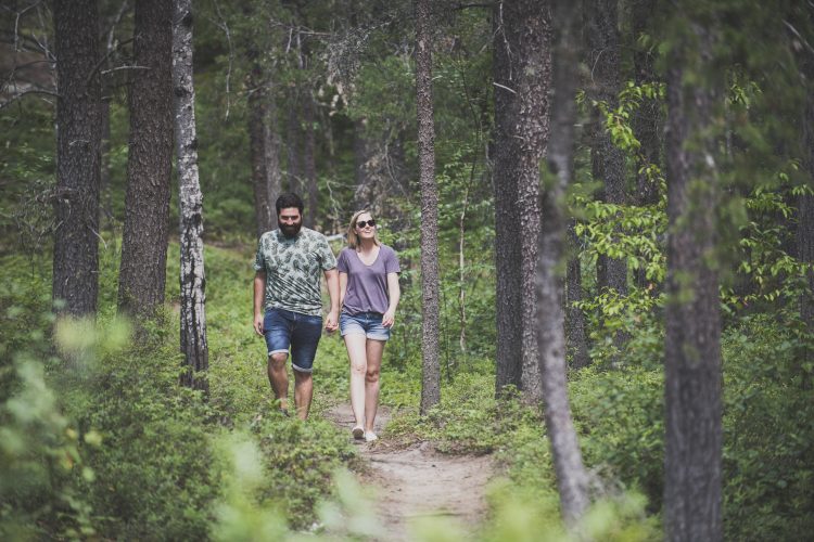
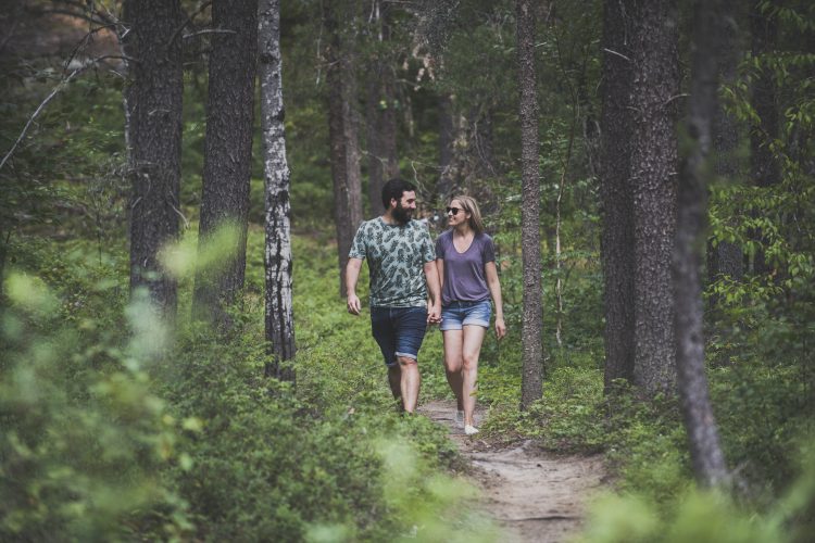
Less than 2 km from the city center, hiking trails reign on the undergrowth of the Val-d'Or Recreational Forest on the Harricana moraine. This unique environmental zone is dominated by sand hills sheltering an esker. These trails are quite rugged. The network is knitted tight and the many crossroads allow you to change direction according to your mood or your shortness of breath. With its breathtaking views of the surrounding reliefs, the site is loved by amateurs.
- electrocardiogram Easy to Moderate
- mountain 18.3 Km (Loop)
Points of service and interest
Category Name
-
 Reception et services
Chalet d'accueil du club de ski de fond
48°03'32.127"N
Reception et services
Chalet d'accueil du club de ski de fond
48°03'32.127"N
77°47'36.589"O -
 Parking
Stationnement de la forêt récréative
48°3'29,171"N
Parking
Stationnement de la forêt récréative
48°3'29,171"N
77°47'35,654"O -
 Refuge
Abri
48°2'52.153''N
Refuge
Abri
48°2'52.153''N
77°47'59.098''O -
Refuge
Abri Forêt récréative - borne 16
48°2'20.791''N
77°49'0.369''O -
Refuge
Abri Forêt récréative - borne 17
48°1'57.323''N
77°48'3.411''O
Accessibility
Access Rights
![]() Free | Reception infrastructure.
Free | Reception infrastructure.
![]() Pets are allowed.
Pets are allowed.
The Recreational Forest is accessible to dogs for the spring, summer and fall seasons.
At all times and for the well-being of all users:
- The owner must keep his dog on a leash (maximum length of 1.5 m);
- The owner must collect his dog’s droppings.
Directions to reach the Val-d'Or Recreational Forest
In Val-d'Or, take the path from the airport to the welcome cottage of the recreational forest which is located on the right.
Free outdoor parking.
Position: 77°47'35,654"O 48°3'29,171"N
Address: 179, chemin de la Forêt-Récréative, Québec
![]() View the route from your location on Google Maps
View the route from your location on Google Maps
Contact
P 819-824-1333 post 4290
info@foretrecreative.com
Specifications
Coating
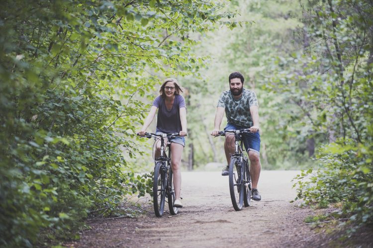
- Trails of stone dust shared with bikes.
Activities on site
- Vélo-Parc Richelieu
- Picking berries and mushrooms
- Hebertism Trail
- Health Station (outdoor training)
- Paved trail Agnico-Eagle (2 km)
SERVICES
- Rental equipment
- Drinking troughs, toilets, changing rooms and showers
- Rest areas including Rotary Place with outdoor fireplace
- Recreational vehicle parking space
- Car wash and bike repair station
- Vending machines
Natural Environment
Geography
The Recreational Forest covers an area of 50.07 km2. The esker is part of a vast glacial moraine (called the Inter-Lobaire Harricana Moraine) that crosses the landscape from the Témiscamingue region to James Bay in the north.
Between the butts that form the "esker", there are often depressions or bowls called "kettles" formed by spreading sand around the ice blocks that melted on site. There are two spring lakes formed by
kettles" dans la région de nos sentiers, soient le lac des Barbus et le lac Clément.
Flora
Grey pine, the dominant tree in the entire Recreational Forest area, is the only species that grows well on sandy hills. There are also some beautiful stands of white birch and aspen poplar. Black spruce and balsam trees dominate in less drained areas.
Comments social0
Tools ready to go
- pdf Planification Randonnee Apa
- pdf Gestion Des Risques Randonnee Pedestre Apa
- pdf Equipement Randonnee Pedestre
- pdf Sans Trace Apa
- pdf Trousses Premiers Soins
Info & advice
- Activité
- Animation et interprétation
- Camping
- Care
- Carte et orientation
- Caution
- Emergency
- Encadrement
- Equipment
- Jamais sans mon chien
- Nutrition
-
Prevention
- 10 articles de première nécessité
- Bien s'hydrater
- Comment lire la météo dans les nuages? Faire la pluie et le beau temps !
- Éviter les ampoules aux pieds
- Éviter les mauvaises rencontres en milieu sauvage
- Feu de camp sécuritaire : trois étapes à respecter
- Insectifuges
- Les moustiques
- Lunettes de soleil
- MALADIE DE LYME : PRÉVENIR LES PIQÛRES DE TIQUE EN RANDONNÉE
- Perdu en forêt : quoi faire?
- Se protéger contre le soleil
- Vaporisateur Chasse-ours
- Progression
- Réglementation
- Training
Caution
This sheet has been prepared from information provided by outdoor enthusiasts deemed sufficiently reliable and experienced. Errors or omissions are always possible and Tourisme Abitibi-Témiscamingue cannot accept responsibility for any problem or accident that may arise from this sheet or be attributed to its use. If you notice any errors or omissions during your expedition, we would be very grateful if you would let us know by email pleinair@atrat.org in order to keep our information up to date.