
Hiking trails in the Rollet recreational area
Hiking trails in the Rollet recreational area
Rouyn-Noranda (Rollet), Rouyn-Noranda
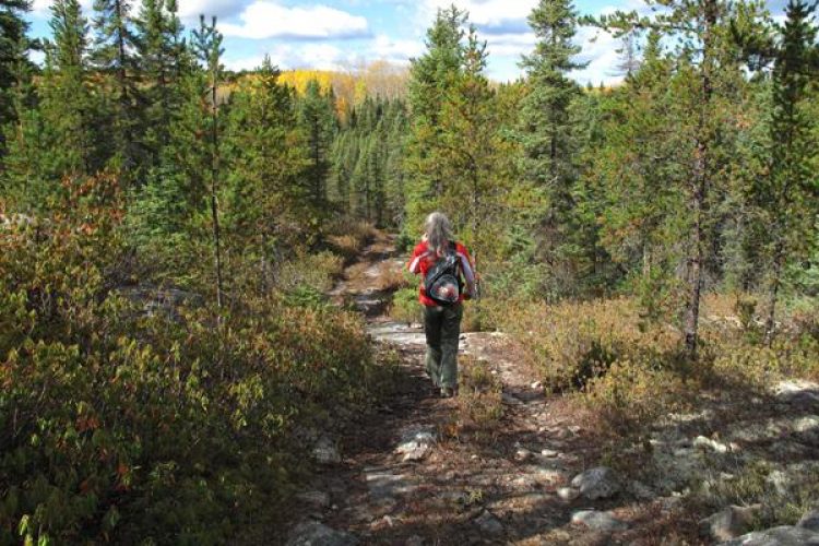
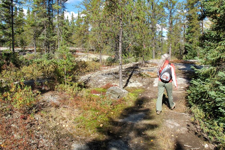
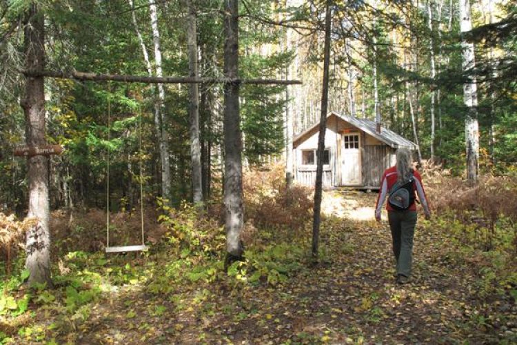
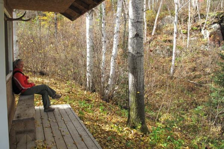
This enchanting site offers you, from the beginning, a relatively flat trail that becomes more hilly as you walk offering various forest landscapes including a small waterfall near the first refuge 2.6 km from the start (the trapper’s relay 1.5 km further). One section leads to Lake Trompeur (a refuge is planned for the future).
- electrocardiogram Easy to Moderate
- mountain 7.4 Km (Mixed)
- calendar seasonal
Sections
Sentier Descente au Lac Gingras
- electrocardiogram Easy
- mountain 2.40 km (Linear)
Sentier La Boucle
- electrocardiogram Easy
- mountain 0.44 km (Linear)
Sentier Rollet
- electrocardiogram Easy
- mountain 5.14 km (Linear)
Rollet hiking Trail
- electrocardiogram Easy
- mountain 5.14 km (Linear)
La Boucle hiking Trail
- electrocardiogram Easy
- mountain 0.44 km (Linear)
Lake Gingras Downhill Trail
- electrocardiogram Easy
- mountain 2.40 km (Linear)
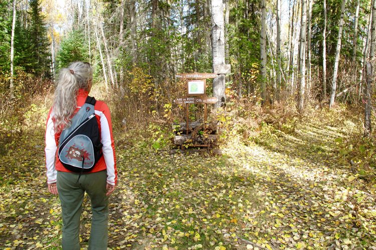
Points of service and interest
Category Name
-
 Parking
Stationnement du chemin Joli-B
47°58’0,128”N
Parking
Stationnement du chemin Joli-B
47°58’0,128”N
79°18’26,844”O -
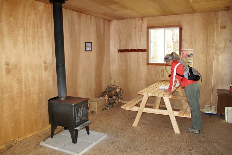
 Refuge
 de la Cascade
47°58’55.29”N
Refuge
Refuge de la Cascade
47°58’55.29”N
79°18’54.891”O -
 Point of interest
Plateau rocheux
47°58’41.446”N
Point of interest
Plateau rocheux
47°58’41.446”N
79°18’33.135”O -
Refuge
Refuge du Trappeur
47°58’29.017”N
79°19’17.723”O -
 Fall / waterfall
Cascade
47°58’54.901”N
Fall / waterfall
Cascade
47°58’54.901”N
79°18’56.248”O -
 Toilet
te sèche sentier Rollet 1
47° 58.920'N
Toilet
Toilette sèche sentier Rollet 1
47° 58.920'N
79° 18.913'O -
Toilet
Toilette sèche Descente au Lac Gingras
47° 58.967'N
79° 20.188'O
Accessibility
Access Rights
Free, without welcome infrastructure
Pets are allowed
Directions to the starting point
From downtown Rouyn-Noranda, take Route 101 South to Ville-Marie 26.5 km past the fork for Route 117 North to Ontario, turn right onto Chemin des Rangs 7 and 8 West (5 km before the village core of Rollet). Drive 2.7 km and turn right on Joli-B road, the parking lot is 1.8 km just past the bridge.
Outdoor Parking : free.
Coordinates : 79°18’26,844”O 47°58’0,128”N
Natural Environment
History
These trails are located in an area where the pioneer families of Rollet worked at the old sawmill.
Comments social0
Tools ready to go
- pdf Planification Randonnee Apa
- pdf Equipement Randonnee Pedestre
- pdf Gestion Des Risques Randonnee Pedestre Apa
- pdf Sans Trace Apa
Info & advice
- Activité
- Animation et interprétation
- Camping
- Care
- Carte et orientation
- Caution
- Emergency
- Encadrement
- Equipment
- Jamais sans mon chien
- Nutrition
-
Prevention
- 10 articles de première nécessité
- Bien s'hydrater
- Comment lire la météo dans les nuages? Faire la pluie et le beau temps !
- Éviter les ampoules aux pieds
- Éviter les mauvaises rencontres en milieu sauvage
- Feu de camp sécuritaire : trois étapes à respecter
- Insectifuges
- Les moustiques
- Lunettes de soleil
- MALADIE DE LYME : PRÉVENIR LES PIQÛRES DE TIQUE EN RANDONNÉE
- Perdu en forêt : quoi faire?
- Se protéger contre le soleil
- Vaporisateur Chasse-ours
- Progression
- Réglementation
- Training
Caution
This sheet has been prepared from information provided by outdoor enthusiasts deemed sufficiently reliable and experienced. Errors or omissions are always possible and Tourisme Abitibi-Témiscamingue cannot accept responsibility for any problem or accident that may arise from this sheet or be attributed to its use. If you notice any errors or omissions during your expedition, we would be very grateful if you would let us know by email pleinair@atrat.org in order to keep our information up to date.
