
L’école Buissonnière Hiking Trails
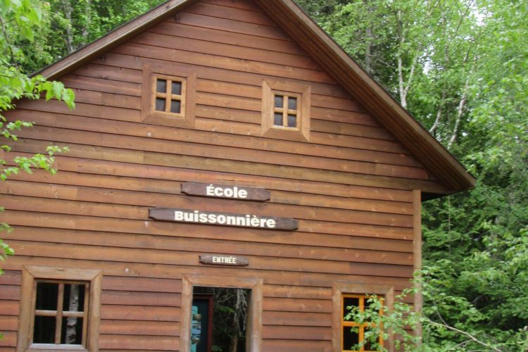
L’école Buissonnière Hiking Trails
Dubuisson, Vallée-de-l'Or
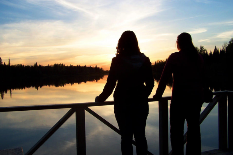
Following the various trails of this network, you will pass through the Abitibian forest Piché-Lemoyne, populated by conifers, birches and cedars. You will partly follow the Piché river, on which you will have viewpoints, as well as swamps. Vigneault, Leclerc and Desjardins trails are decorated with nature interpretation panels. One of the trails is more wildlife oriented while the others are more flora oriented. These small loops can be walked individually or combined for longer hikes. Observatories allow to observe the flora, landscape and fauna present.
- electrocardiogram Easy
- mountain 2.5 Km (Mixed)
- calendar seasonal
Sections
Access
- electrocardiogram Easy
- mountain 0.3 (Linear)
Desjardins
- electrocardiogram Easy
- mountain 0.9 (Loop)
Leclerc
- electrocardiogram Easy
- mountain 0.9 (Loop)
Vigneault
- electrocardiogram Easy
- mountain 0.4 (Loop)
Points of service and interest
 Parking
Accessibility
Access Rights
Free, no reception infrastructure.
Pets are allowed.
Directions to the starting point
From Val-d'Or, follow route 117 north for about 20 km. Just before the village of Dubuisson, take the Explorers' path for 1 km.
Parking: free Position : 48°05'16.8"N 77°54'47.5"O
Contact : 160 Chemin des Explorateurs, Val-d'Or (Dubuisson area), Quebec City, J9P 4N7 T 819 824-1333 ext. 4276 View the Website
Comments social0
Tools ready to go
- pdf Planification Randonnee Apa
- pdf Equipement Randonnee Pedestre
- pdf Gestion Des Risques Randonnee Pedestre Apa
- pdf Sans Trace Apa
Info & advice
- Activité
- Animation et interprétation
- Camping
- Care
- Carte et orientation
- Caution
- Emergency
- Encadrement
- Equipment
- Jamais sans mon chien
- Nutrition
-
Prevention
- 10 articles de première nécessité
- Bien s'hydrater
- Comment lire la météo dans les nuages? Faire la pluie et le beau temps !
- Éviter les ampoules aux pieds
- Éviter les mauvaises rencontres en milieu sauvage
- Feu de camp sécuritaire : trois étapes à respecter
- Insectifuges
- Les moustiques
- Lunettes de soleil
- MALADIE DE LYME : PRÉVENIR LES PIQÛRES DE TIQUE EN RANDONNÉE
- Perdu en forêt : quoi faire?
- Se protéger contre le soleil
- Vaporisateur Chasse-ours
- Progression
- Réglementation
- Training
Caution
This sheet has been prepared from information provided by outdoor enthusiasts deemed sufficiently reliable and experienced. Errors or omissions are always possible and Tourisme Abitibi-Témiscamingue cannot accept responsibility for any problem or accident that may arise from this sheet or be attributed to its use. If you notice any errors or omissions during your expedition, we would be very grateful if you would let us know by email pleinair@atrat.org in order to keep our information up to date.